Central City is a borough in Somerset County, Pennsylvania, United States. The population was 998 at the 2020 census. It is part of the Johnstown, Pennsylvania, Metropolitan Statistical Area. It is east-northeast of Stoystown and northeast of Somerset.
| Name: | Central City borough |
|---|---|
| LSAD Code: | 21 |
| LSAD Description: | borough (suffix) |
| State: | Pennsylvania |
| County: | Somerset County |
| Incorporated: | May 6, 1918 |
| Elevation: | 2,200 ft (700 m) |
| Total Area: | 0.54 sq mi (1.40 km²) |
| Land Area: | 0.54 sq mi (1.40 km²) |
| Water Area: | 0.00 sq mi (0.00 km²) |
| Total Population: | 998 |
| Population Density: | 1,848.15/sq mi (713.78/km²) |
| ZIP code: | 15926 |
| Area code: | 814 |
| FIPS code: | 4212296 |
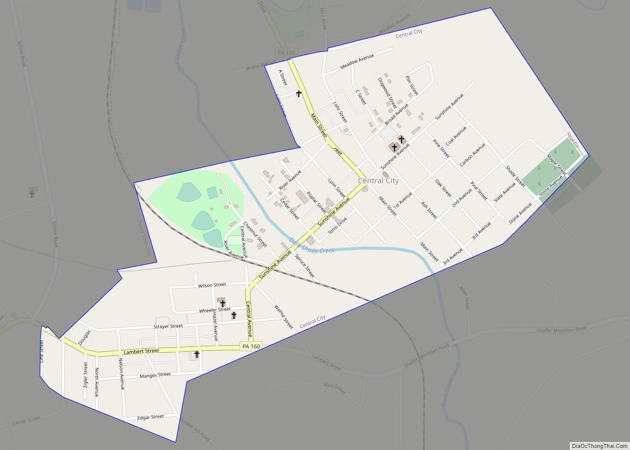
Online Interactive Map
Click on ![]() to view map in "full screen" mode.
to view map in "full screen" mode.
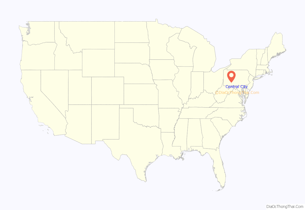
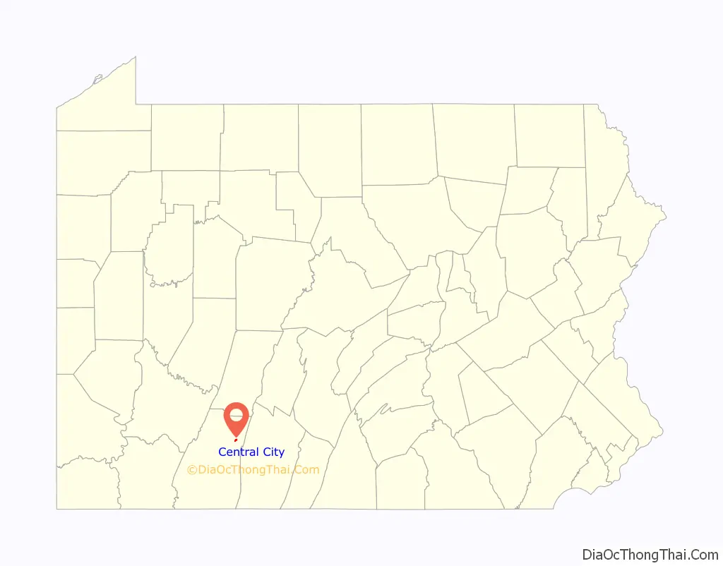
Central City location map. Where is Central City borough?
History
Central City is situated on lands originally owned by Shade Township’s first settlers, Casper Stotler and George Lambert. It was founded in 1894 by Anthony Wechtenhiser and received its name from its central location along the projected Midland Railroad. The objective was to build a railroad into the large coal field known to exist in this region. The projected railroad, under a preliminary survey made in 1894, would have extended the road southeastward along Dark Shade Creek and Shingle Run valleys, across the mountain by way of Frazier’s Gap, into Bedford County and eastward to the Atlantic seaboard; however, the project failed to develop. In 1913, an extension to the town was laid out by the Cook and Neasley Realty Company on lands then owned by John Wechtenhiser and Obadiah Lohr. The town was incorporated into the borough of Central City in 1918.
Initially, there were major plans for the town of Central City. In 1921, Central City became a charter bank (Charter # 11967) to the Federal Reserve Bank of Cleveland. It ceased printing currency in 1935. This bank, located on Sunshine Ave<<Google Maps>>, printed over a half a million dollars worth of national currency during its existence. The inhabitants of Central City borough and the surrounding area are served by nine churches, sixteen stores, one hotel, five garages and service stations, three barber shops, a printing house, a photo studio, two funeral homes, a greenhouse, two veterans’ organizations-American Legion and Veterans of Foreign Wars, and one financial institution—Central City Bank, a branch of AmeriServ Financial Bank of Johnstown.
The Central City Volunteer Fire Company provides fire protection for both the borough and the surrounding area. The Central City post office was established in 1919, with Joseph Lohr as the first postmaster. A new post office building was erected in 1962. Free mail service was established in the borough in 1955. Free public recreation facilities are owned by the borough, such as a tennis court, baseball field, and a well-maintained park. The Municipal Building, owned by the borough, contains a mayor’s office, an office for the chief of police, a council chamber, a large community hall, and a prison room. It also houses the equipment of the fire company.
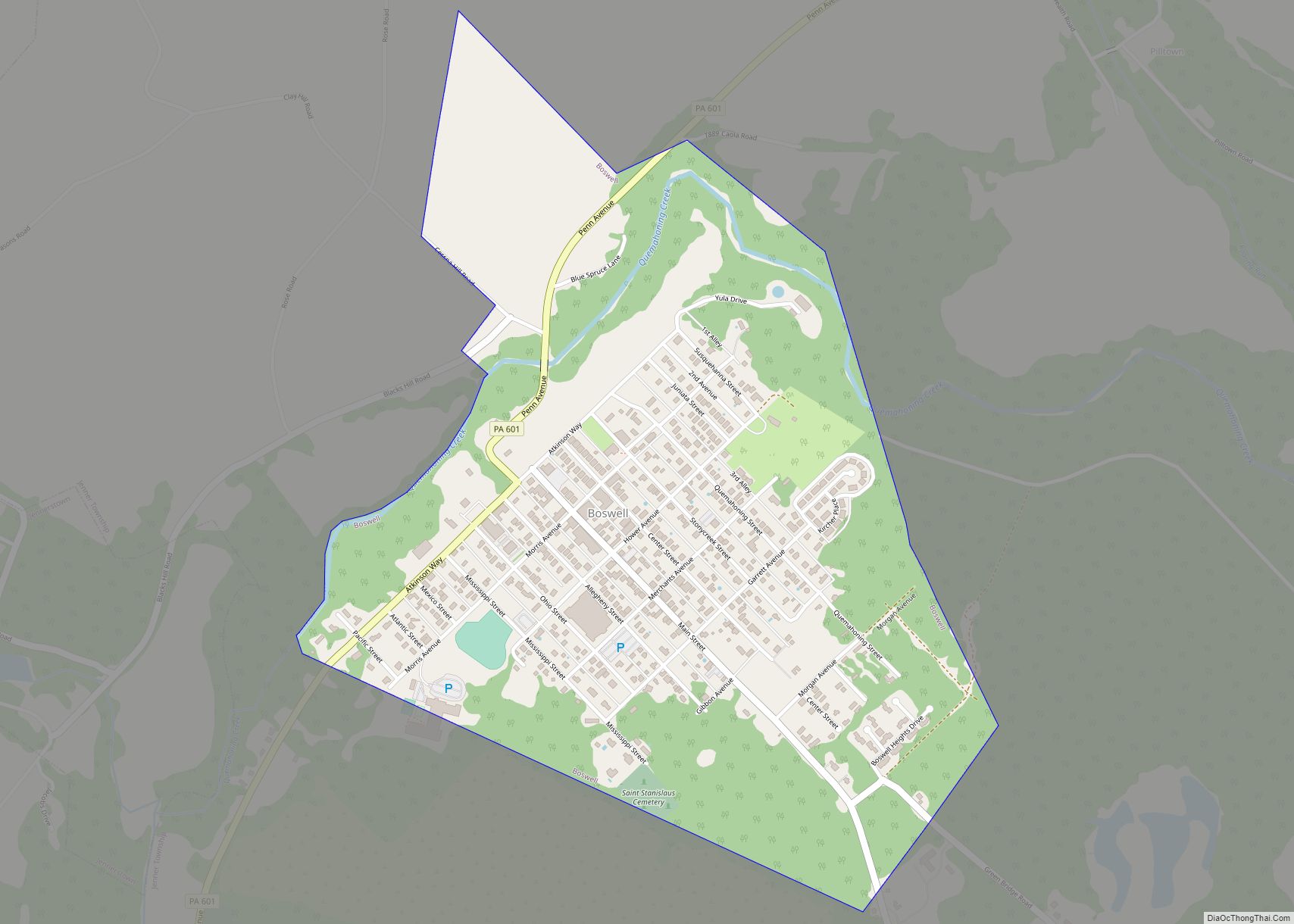
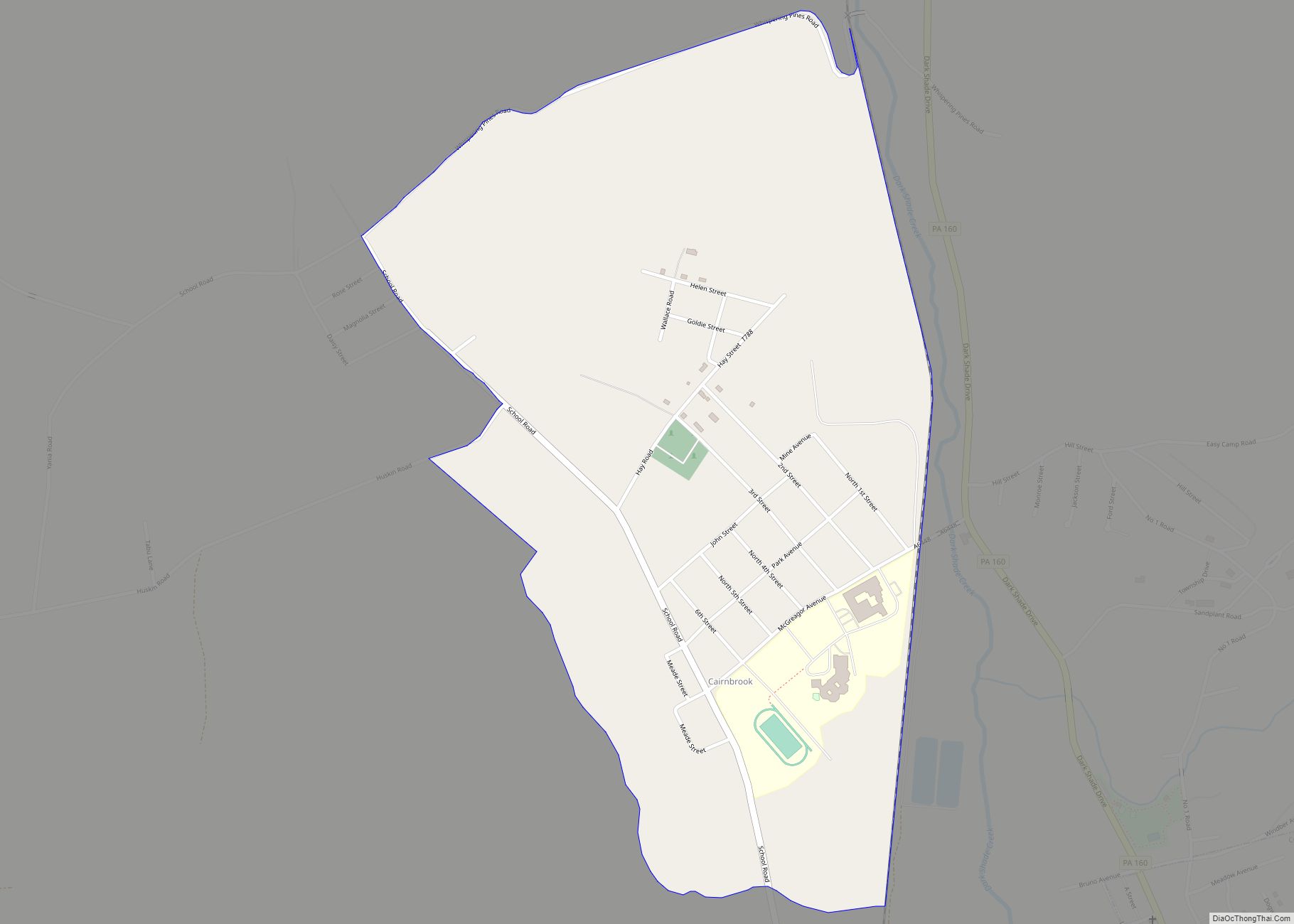
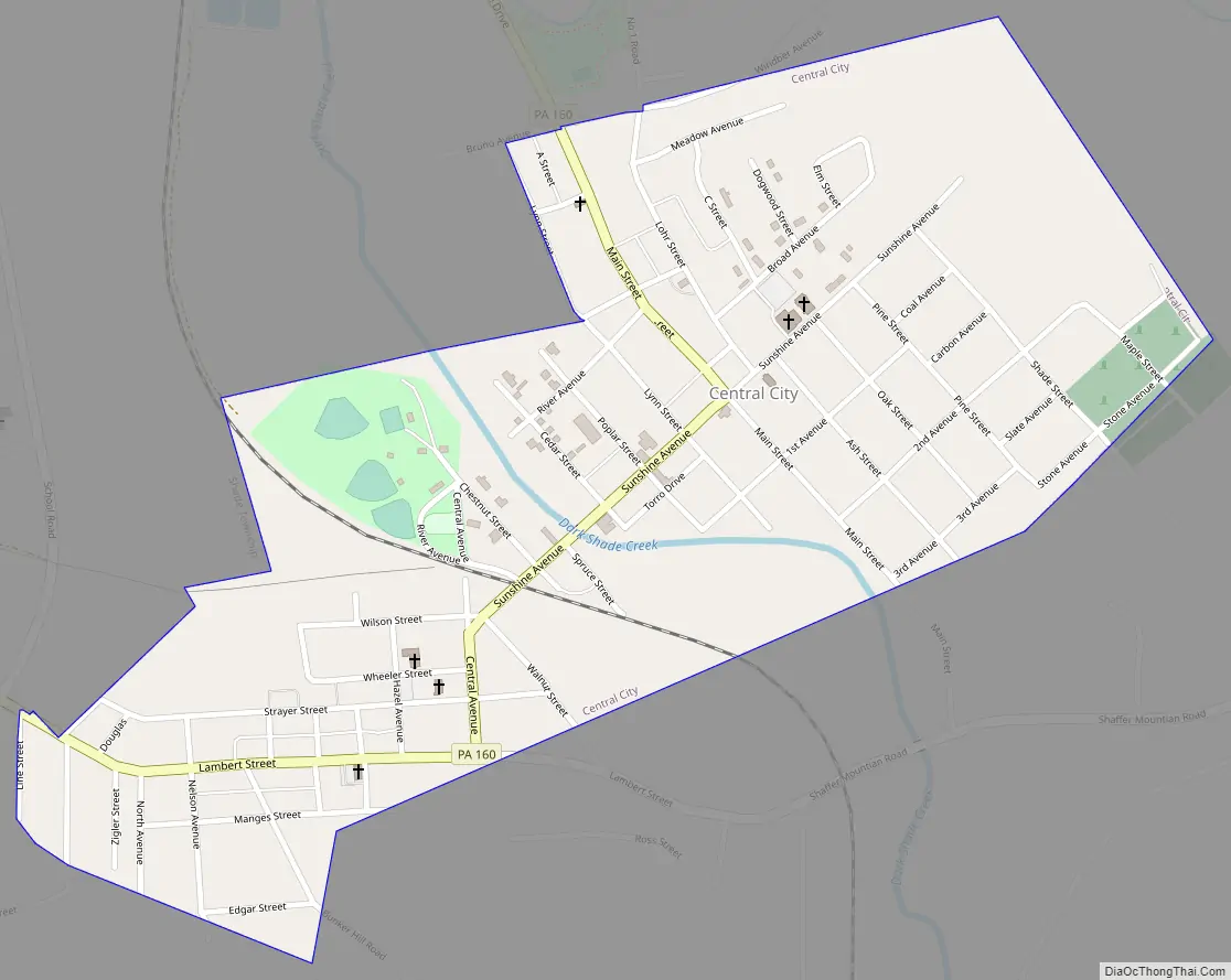
Central City Road Map
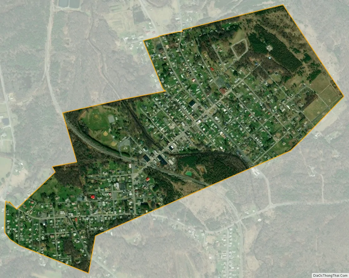
Central City city Satellite Map
Geography
Central City is at 40°6′33″N 78°48′15″W / 40.10917°N 78.80417°W / 40.10917; -78.80417 (40.109094, -78.804121).
According to the United States Census Bureau, the borough has a total area of 0.5 square miles (1.3 km), all land.
The actual center of Pennsylvania is in Centre County.
Central City has the eighth-highest elevation of towns in Pennsylvania, at 2,200 feet (670 m).
See also
Map of Pennsylvania State and its subdivision:- Adams
- Allegheny
- Armstrong
- Beaver
- Bedford
- Berks
- Blair
- Bradford
- Bucks
- Butler
- Cambria
- Cameron
- Carbon
- Centre
- Chester
- Clarion
- Clearfield
- Clinton
- Columbia
- Crawford
- Cumberland
- Dauphin
- Delaware
- Elk
- Erie
- Fayette
- Forest
- Franklin
- Fulton
- Greene
- Huntingdon
- Indiana
- Jefferson
- Juniata
- Lackawanna
- Lancaster
- Lawrence
- Lebanon
- Lehigh
- Luzerne
- Lycoming
- Mc Kean
- Mercer
- Mifflin
- Monroe
- Montgomery
- Montour
- Northampton
- Northumberland
- Perry
- Philadelphia
- Pike
- Potter
- Schuylkill
- Snyder
- Somerset
- Sullivan
- Susquehanna
- Tioga
- Union
- Venango
- Warren
- Washington
- Wayne
- Westmoreland
- Wyoming
- York
- Alabama
- Alaska
- Arizona
- Arkansas
- California
- Colorado
- Connecticut
- Delaware
- District of Columbia
- Florida
- Georgia
- Hawaii
- Idaho
- Illinois
- Indiana
- Iowa
- Kansas
- Kentucky
- Louisiana
- Maine
- Maryland
- Massachusetts
- Michigan
- Minnesota
- Mississippi
- Missouri
- Montana
- Nebraska
- Nevada
- New Hampshire
- New Jersey
- New Mexico
- New York
- North Carolina
- North Dakota
- Ohio
- Oklahoma
- Oregon
- Pennsylvania
- Rhode Island
- South Carolina
- South Dakota
- Tennessee
- Texas
- Utah
- Vermont
- Virginia
- Washington
- West Virginia
- Wisconsin
- Wyoming