Chapman is a borough in Northampton County, Pennsylvania. The population of Chapman was 223 as of the 2020 census. Chapman is part of the Lehigh Valley metropolitan area, which had a population of 861,899 and was the 68th-most populous metropolitan area in the U.S. as of the 2020 census.
| Name: | Chapman borough |
|---|---|
| LSAD Code: | 21 |
| LSAD Description: | borough (suffix) |
| State: | Pennsylvania |
| County: | Northampton County |
| Elevation: | 705 ft (215 m) |
| Land Area: | 0.33 sq mi (0.85 km²) |
| Water Area: | 0.03 sq mi (0.07 km²) |
| Population Density: | 675.76/sq mi (261.26/km²) |
| ZIP code: | 18014 |
| Area code: | 610 and 484 |
| FIPS code: | 4212656 |
| Website: | chapmanborough.com |
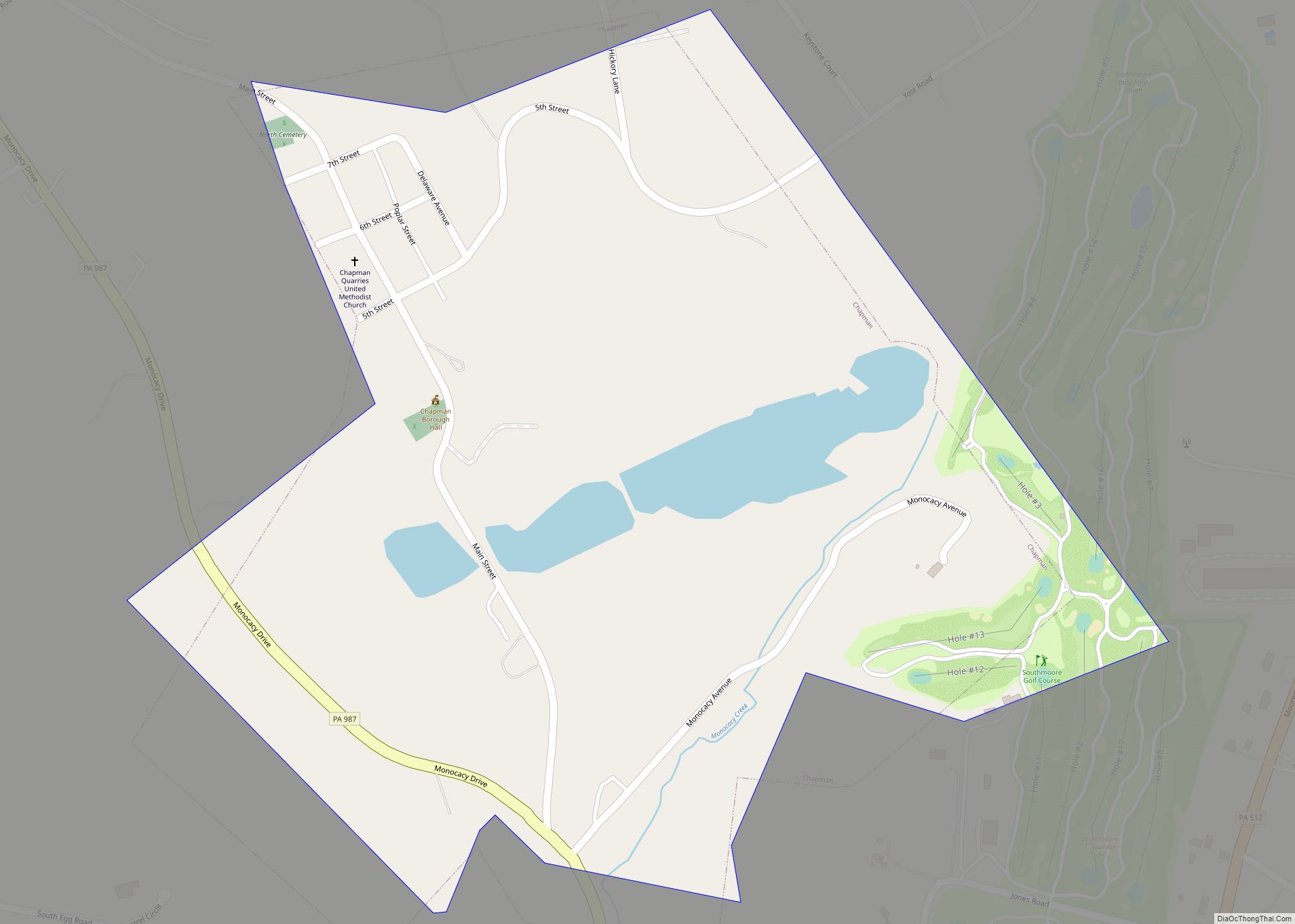
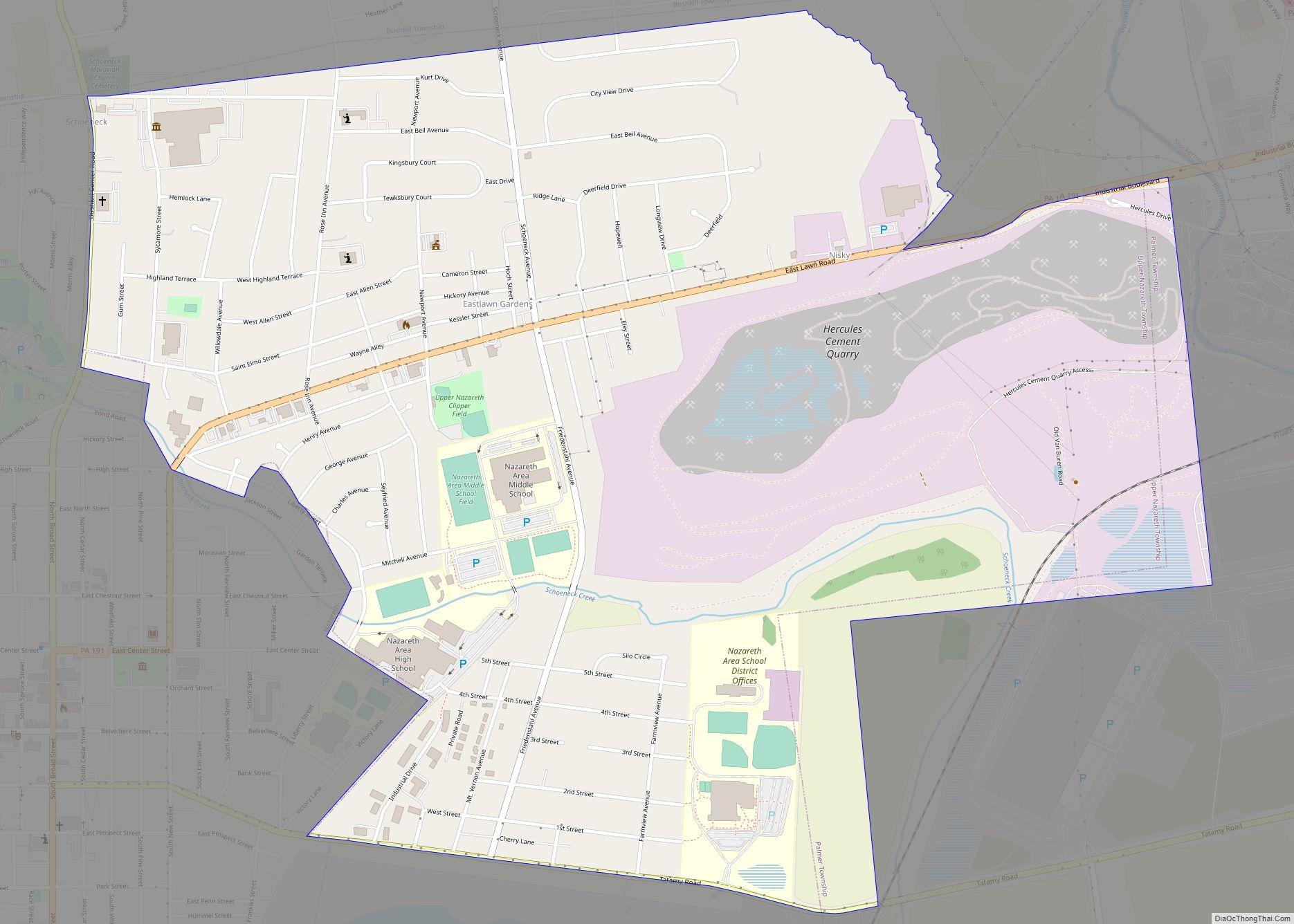
Online Interactive Map
Click on ![]() to view map in "full screen" mode.
to view map in "full screen" mode.
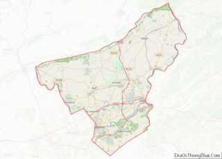
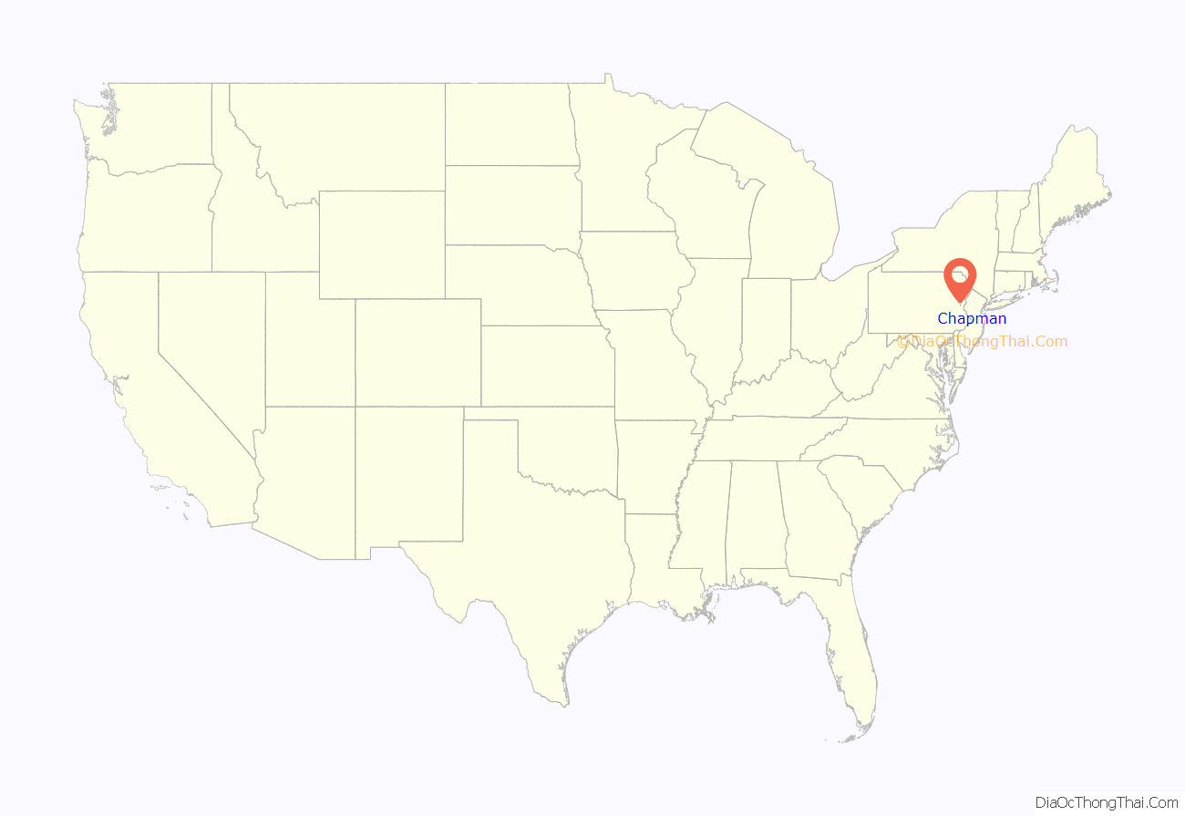
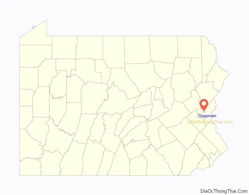
Chapman location map. Where is Chapman borough?
History
Chapman was named for William Chapman, who owned slate quarries in the borough. Chapman was from Cornwall, England. He was born in 1816 in Mt. Tonenshau in Brussels, where his mother had gone to nurse his father after being severely injured in the Battle of Waterloo. At the age of seven, Chapman began working in the Delabole slate quarries in Cornwall, where his father worked. At the age of 26, Chapman emigrated to the United States, where he leased property in Northampton County and later purchased the property and started the Chapman Slate Company.
While the slate quarries were originally opened in 1850, the company itself was officially incorporated by a special act of the Pennsylvania state legislature in 1864 with a capital stock of $300,000. The quarry grew to a considerable size measuring from 700 to 800 feet along a longitudinal joint and was about 200 feet wide and 300 feet deep. William Chapman died in Bethlehem, Pennsylvania in 1903 at the age of 86.
Chapman Road Map
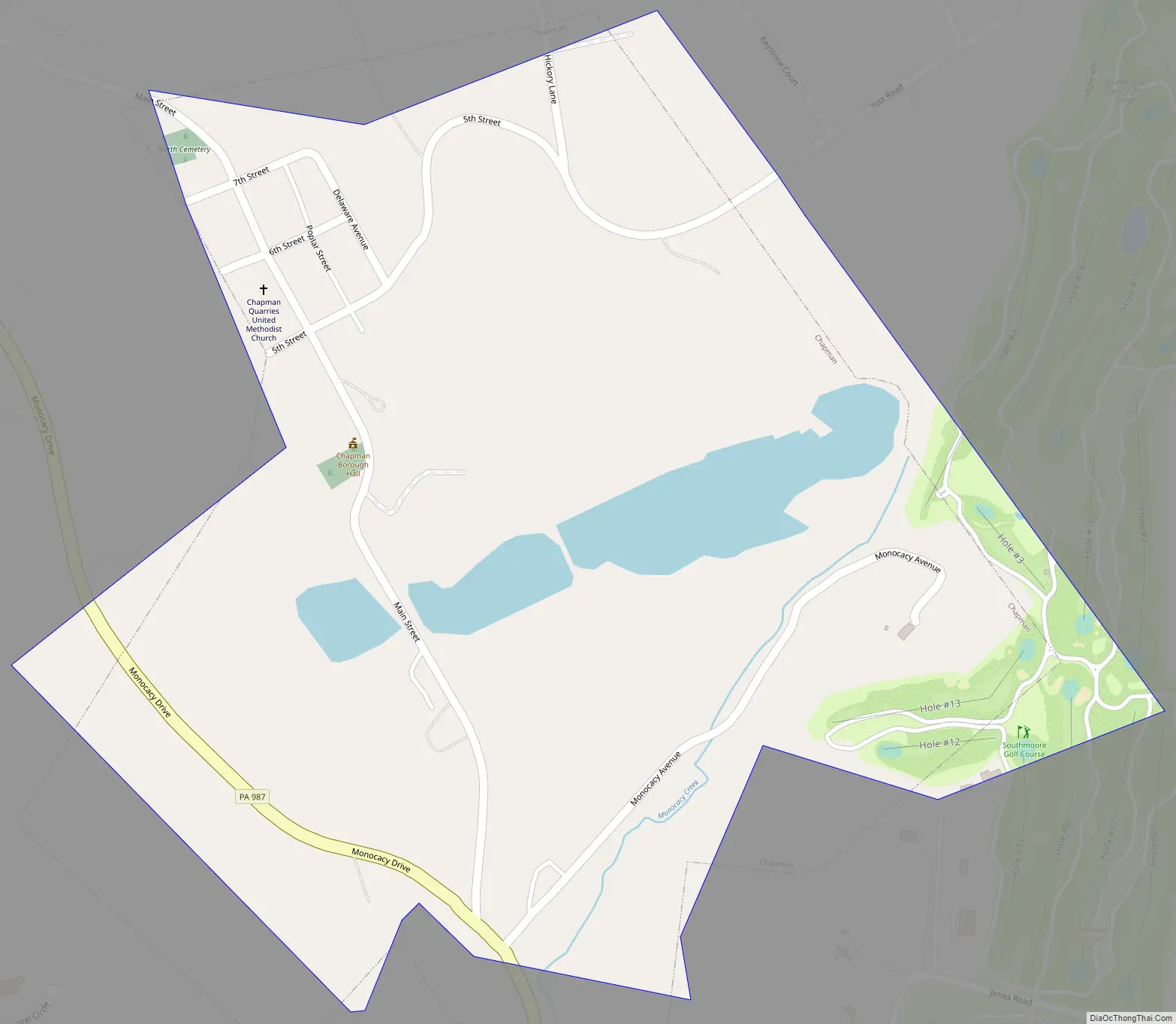
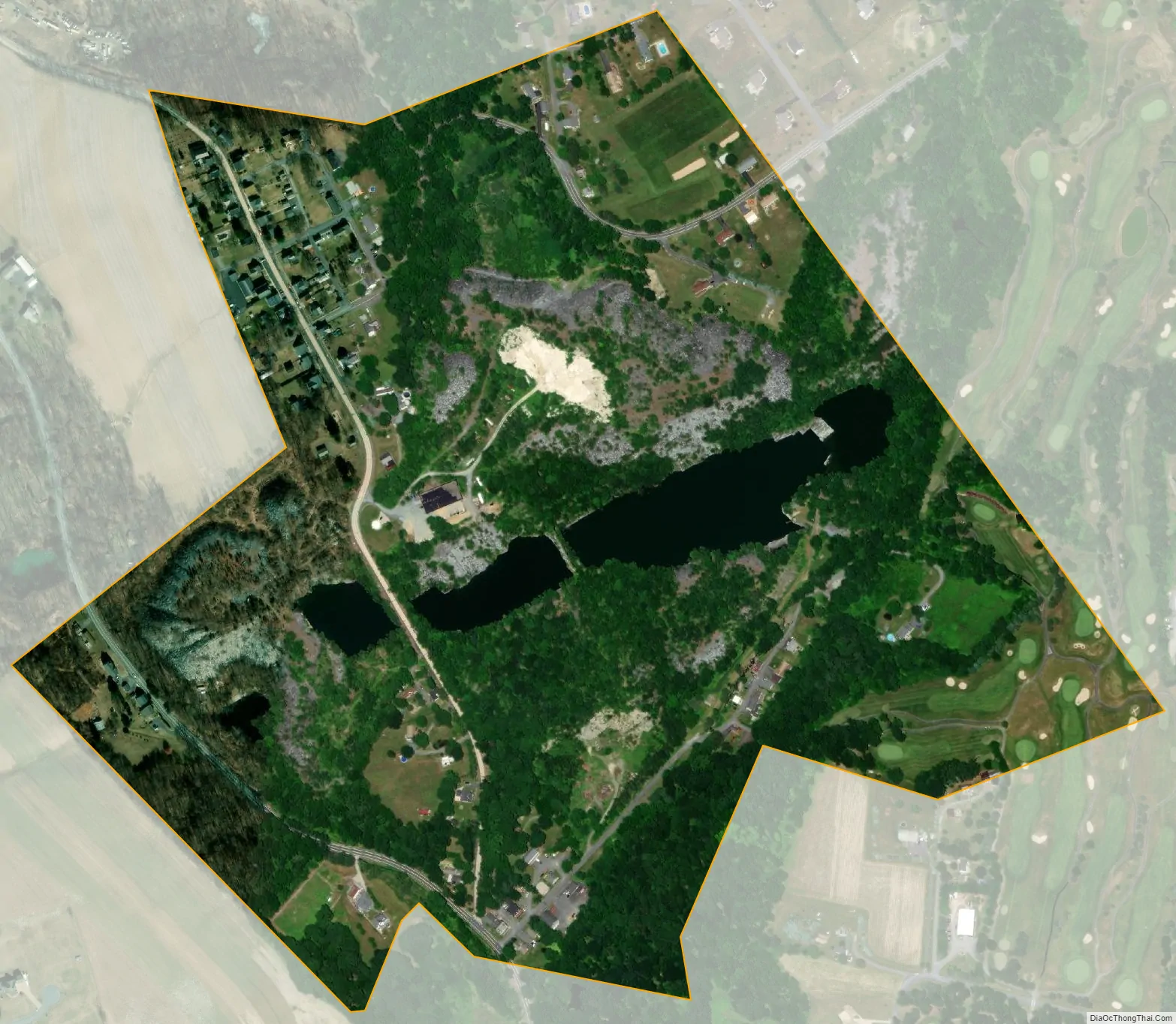
Chapman city Satellite Map
Geography
Chapman is located at 40°45′42″N 75°24′15″W / 40.76167°N 75.40417°W / 40.76167; -75.40417 (40.761567, -75.404270). According to the U.S. Census Bureau, the borough has a total area of 0.4 square miles (1.0 km), of which 0.4 square miles (1.0 km) is land and 0.0% is water. It is drained by the Monocacy Creek into the Lehigh River. The township is surrounded by Moore Township.
See also
Map of Pennsylvania State and its subdivision:- Adams
- Allegheny
- Armstrong
- Beaver
- Bedford
- Berks
- Blair
- Bradford
- Bucks
- Butler
- Cambria
- Cameron
- Carbon
- Centre
- Chester
- Clarion
- Clearfield
- Clinton
- Columbia
- Crawford
- Cumberland
- Dauphin
- Delaware
- Elk
- Erie
- Fayette
- Forest
- Franklin
- Fulton
- Greene
- Huntingdon
- Indiana
- Jefferson
- Juniata
- Lackawanna
- Lancaster
- Lawrence
- Lebanon
- Lehigh
- Luzerne
- Lycoming
- Mc Kean
- Mercer
- Mifflin
- Monroe
- Montgomery
- Montour
- Northampton
- Northumberland
- Perry
- Philadelphia
- Pike
- Potter
- Schuylkill
- Snyder
- Somerset
- Sullivan
- Susquehanna
- Tioga
- Union
- Venango
- Warren
- Washington
- Wayne
- Westmoreland
- Wyoming
- York
- Alabama
- Alaska
- Arizona
- Arkansas
- California
- Colorado
- Connecticut
- Delaware
- District of Columbia
- Florida
- Georgia
- Hawaii
- Idaho
- Illinois
- Indiana
- Iowa
- Kansas
- Kentucky
- Louisiana
- Maine
- Maryland
- Massachusetts
- Michigan
- Minnesota
- Mississippi
- Missouri
- Montana
- Nebraska
- Nevada
- New Hampshire
- New Jersey
- New Mexico
- New York
- North Carolina
- North Dakota
- Ohio
- Oklahoma
- Oregon
- Pennsylvania
- Rhode Island
- South Carolina
- South Dakota
- Tennessee
- Texas
- Utah
- Vermont
- Virginia
- Washington
- West Virginia
- Wisconsin
- Wyoming