Chester Heights is a borough in Delaware County, Pennsylvania, United States. The population was 2,531 at the 2010 census. Most of the borough lies south of U.S. 1, about a mile southwest of Wawa.
| Name: | Chester Heights borough |
|---|---|
| LSAD Code: | 21 |
| LSAD Description: | borough (suffix) |
| State: | Pennsylvania |
| County: | Delaware County |
| Incorporated: | 1945 |
| Elevation: | 131 ft (40 m) |
| Total Area: | 2.22 sq mi (5.74 km²) |
| Land Area: | 2.21 sq mi (5.73 km²) |
| Water Area: | 0.00 sq mi (0.01 km²) |
| Total Population: | 2,897 |
| Population Density: | 1,308.49/sq mi (505.29/km²) |
| ZIP code: | 19017 |
| Area code: | 610 and 484 |
| FIPS code: | 4213232 |
| Website: | www.chesterheights.org |
Online Interactive Map
Click on ![]() to view map in "full screen" mode.
to view map in "full screen" mode.
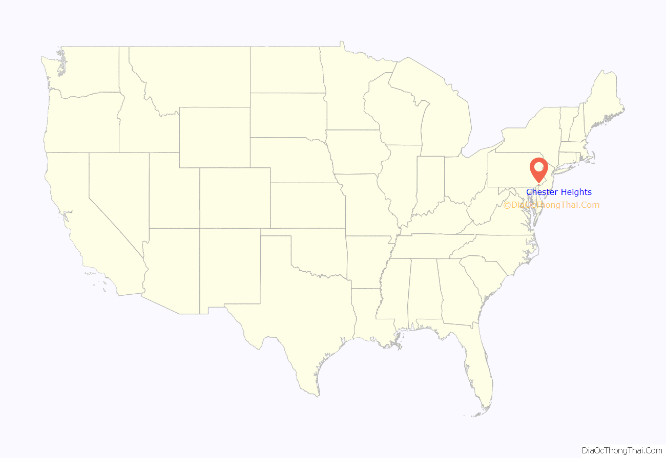
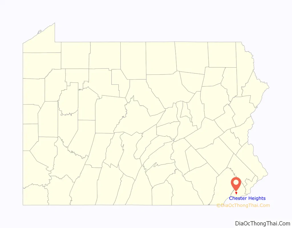
Chester Heights location map. Where is Chester Heights borough?
History
The history of Chester Heights predates grants of William Penn, when the Swedes had penetrated some distance inland from the Delaware River and had found the rich soil very conducive to productive farming. To a remarkable extent, the area had continued to be so used until the last decade. In the 18th and 19th centuries, the borough was part of Aston Township, though this northernmost section of Aston did not have a village aspect as such. With the advent of a railroad, which made its first run-through on Christmas Day 1833, a concentration of houses developed. With the reach of the automobile, a settlement of homes sprang up along the oldest road in the borough. That route, now Valleybrook Road, was once known as the “Logtown Road” and was one of the earliest routes from Chester settlement to the interior. It wanders over and along the West Branch of Chester Creek and is noted for its abrupt curves at the borough’s southern end.
An 1836 school building on Valleybrook Road and Llewellyn Road was, in its day, rented by its owners to Aston for $2 a month for use as the school for this area. It was subsequently known as the Logtown School and changed to the Chester Heights School in 1880. A second, much later stone school building stands in its place today. The borough was the Fourth Ward of Aston and had been referred to for some time as Chester Heights and Wawa. It was in the northern or “Wawa” area that, over the past one hundred years or more, several large land parcels were acquired for summer residences. To date, most of these tracts have remained relatively unchanged, though they are now used as year-round private residences. (“Wawa” was the Indian name for wild goose.)
In 1852 the cornerstone of St. Thomas the Apostle Church was laid, to house a Roman Catholic congregation that had been meeting on the property of the Willcox family since 1728. It stands today with the addition of a modern church, parochial school and residences. In 1872 an association of Methodists purchased a farm in Aston, incorporating as the Chester Heights Camp-Meeting Associations, and it still convenes each July for religious retreats. The borough of Chester Heights was officially incorporated in 1945.
Today, approximately one dozen early fieldstone or brick dwellings remain intact, though not necessarily restored. The oldest homes date to 1720 or earlier; many of them were established by 1777 when “a number of the stragglers from the defeated American Army, hungry, demoralized and exhausted in their flight from the field at Brandywine, collected in the neighborhood of Logtown, where they passed the night, sleeping in the outbuildings and open fields.” Altogether, the houses represent an historically valuable span of 18th century to Victorian architecture in the borough.
The Chester Heights Camp Meeting Historic District, Chamberlain-Pennell House, and Stonehaven are listed on the National Register of Historic Places.
Chester Heights was also the home of the fictional Grogan family from the 2008 movie “Marley and Me”.
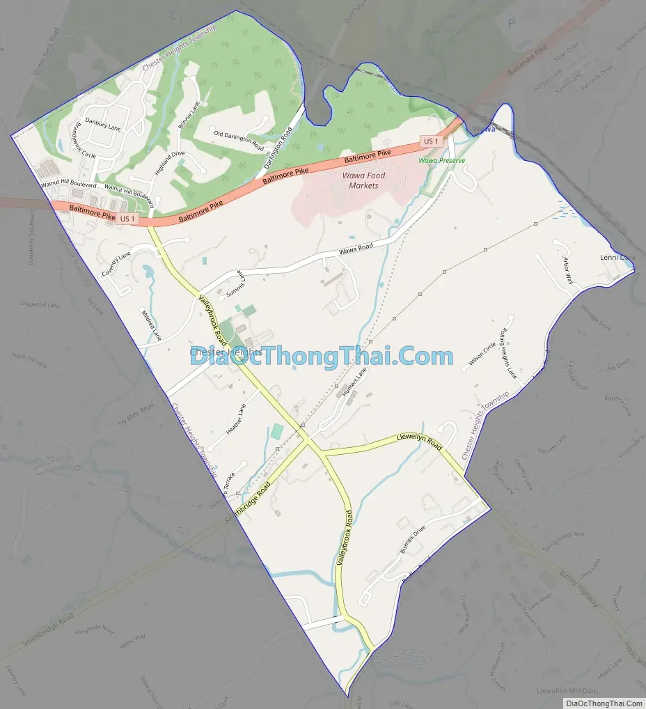
Chester Heights Road Map
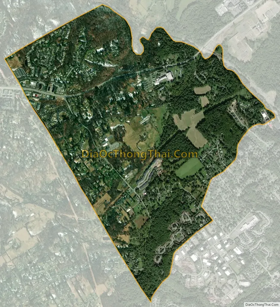
Chester Heights city Satellite Map
Geography
Chester Heights is located in western Delaware County at 39°53′22″N 75°28′15″W / 39.88944°N 75.47083°W / 39.88944; -75.47083 (39.889539, -75.470931). It is bordered to the southeast by Aston Township, to the west by Concord Township, to the north by Thornbury Township, and to the northeast, across Chester Creek, by Middletown Township.
According to the United States Census Bureau, the borough has a total area of 2.2 square miles (5.7 km), all land.
Climate
The climate in this area is characterized by hot, humid summers and generally cool to cold winters. According to the Köppen Climate Classification system, Chester Heights has a hot-summer humid continental climate, abbreviated “Dfa” on climate maps. The local hardiness zone is 7a. [1] On June 23, 2015, the borough suffered significant wind damage in one of its strongest severe thunderstorms to strike the area. Many trees fell, and many power poles snapped. Nearby locations were later given a disaster declaration. At nearby Philadelphia International Airport, a wind gust of 71 miles per hour was recorded from the storm.
See also
Map of Pennsylvania State and its subdivision:- Adams
- Allegheny
- Armstrong
- Beaver
- Bedford
- Berks
- Blair
- Bradford
- Bucks
- Butler
- Cambria
- Cameron
- Carbon
- Centre
- Chester
- Clarion
- Clearfield
- Clinton
- Columbia
- Crawford
- Cumberland
- Dauphin
- Delaware
- Elk
- Erie
- Fayette
- Forest
- Franklin
- Fulton
- Greene
- Huntingdon
- Indiana
- Jefferson
- Juniata
- Lackawanna
- Lancaster
- Lawrence
- Lebanon
- Lehigh
- Luzerne
- Lycoming
- Mc Kean
- Mercer
- Mifflin
- Monroe
- Montgomery
- Montour
- Northampton
- Northumberland
- Perry
- Philadelphia
- Pike
- Potter
- Schuylkill
- Snyder
- Somerset
- Sullivan
- Susquehanna
- Tioga
- Union
- Venango
- Warren
- Washington
- Wayne
- Westmoreland
- Wyoming
- York
- Alabama
- Alaska
- Arizona
- Arkansas
- California
- Colorado
- Connecticut
- Delaware
- District of Columbia
- Florida
- Georgia
- Hawaii
- Idaho
- Illinois
- Indiana
- Iowa
- Kansas
- Kentucky
- Louisiana
- Maine
- Maryland
- Massachusetts
- Michigan
- Minnesota
- Mississippi
- Missouri
- Montana
- Nebraska
- Nevada
- New Hampshire
- New Jersey
- New Mexico
- New York
- North Carolina
- North Dakota
- Ohio
- Oklahoma
- Oregon
- Pennsylvania
- Rhode Island
- South Carolina
- South Dakota
- Tennessee
- Texas
- Utah
- Vermont
- Virginia
- Washington
- West Virginia
- Wisconsin
- Wyoming


