Clarks Summit is a borough in Lackawanna County, northwest of Scranton in Northeastern Pennsylvania. The population was 5,108 at the 2020 census. It is also the northern control city of the Pennsylvania Turnpike Northeast Extension, I-476, though the official terminus is in adjacent South Abington Township.
| Name: | Clarks Summit borough |
|---|---|
| LSAD Code: | 21 |
| LSAD Description: | borough (suffix) |
| State: | Pennsylvania |
| County: | Lackawanna County |
| Elevation: | 1,289 ft (393 m) |
| Total Area: | 1.58 sq mi (4.11 km²) |
| Land Area: | 1.58 sq mi (4.11 km²) |
| Water Area: | 0.00 sq mi (0.00 km²) |
| Total Population: | 5,107 |
| Population Density: | 3,222.08/sq mi (1,243.89/km²) |
| ZIP code: | 18411 |
| Area code: | 570 and 272 |
| FIPS code: | 4213880 |
| Website: | www.clarkssummitboro.org |
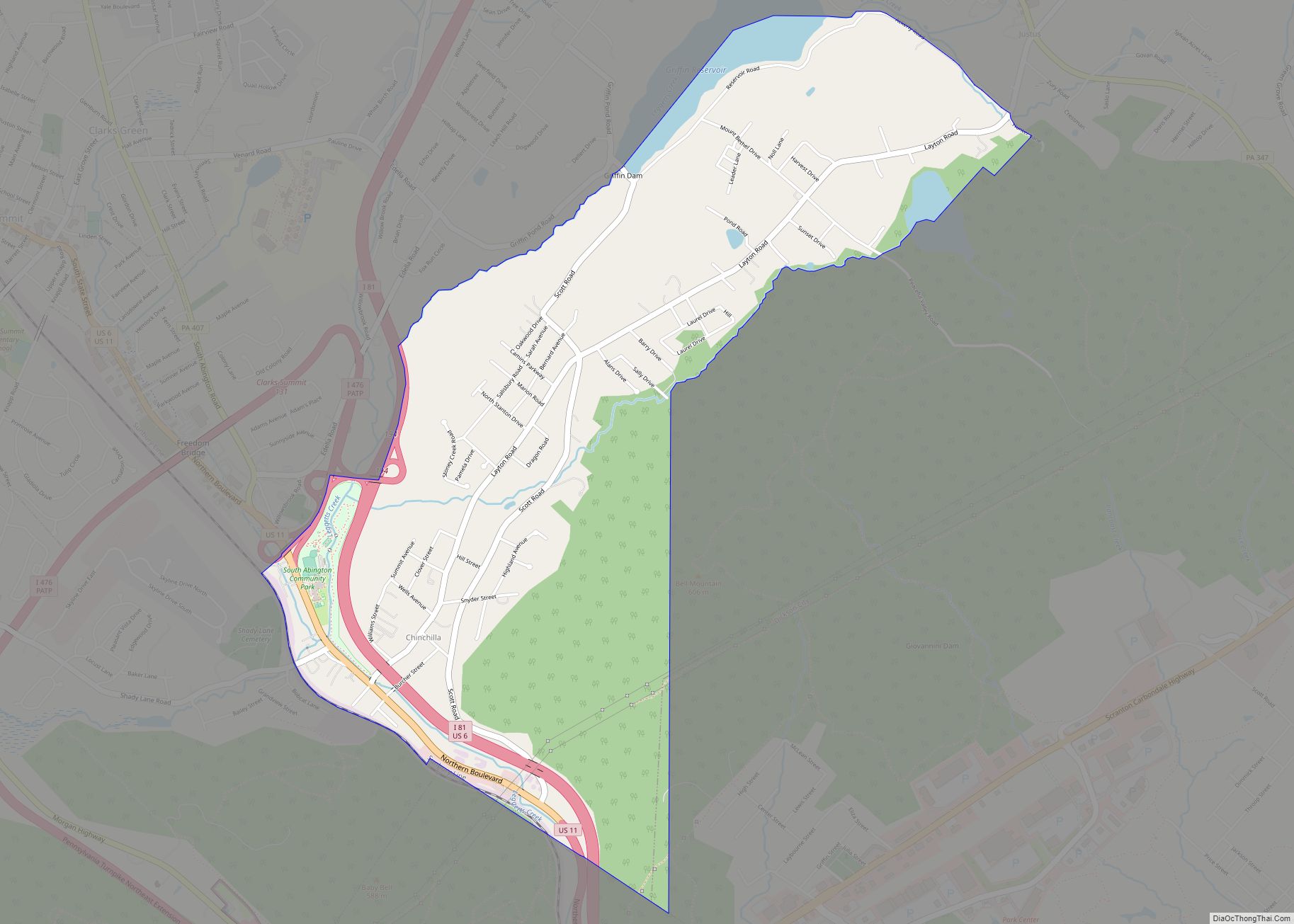
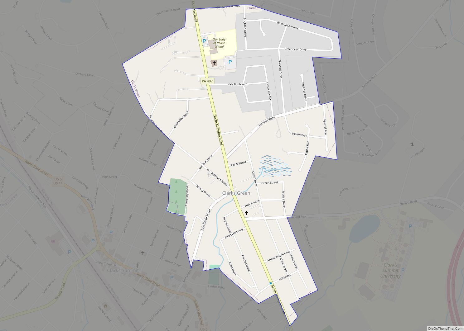
Online Interactive Map
Click on ![]() to view map in "full screen" mode.
to view map in "full screen" mode.
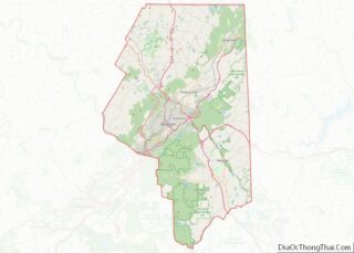
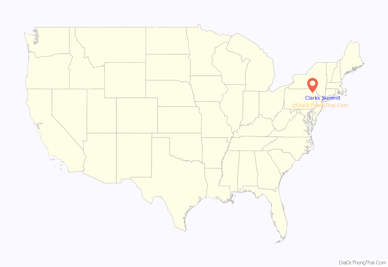
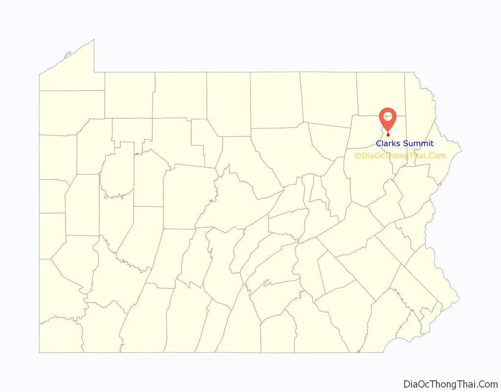
Clarks Summit location map. Where is Clarks Summit borough?
History
The first settler in the area currently known as Clarks Summit was William Clark. Clark had fought in the Battle of Bunker Hill during the Revolutionary War, and as payment for his military service, he was issued 800 acres (3.2 km) of Pennsylvania land by Congress. Because of disputes between Pennsylvania and Connecticut over the area of land that is now northern Pennsylvania (resulting in the Pennamite-Yankee War), the land deed issued to Clark was deemed invalid by the Luzerne County land grant office. Clark had no choice but to pay for the land himself. In March 1799, Clark and his three sons moved into a log cabin in the Abington wilderness, located on what is currently the Clarks Green Cemetery. The first school was built in 1893 and was destroyed by fire two years later. The village of Clarks Summit and an adjacent tract of land were incorporated into the Borough of Clarks Summit on August 30, 1911.
Clarks Summit is a location in the “Threat Level Midnight” episode of The Office.
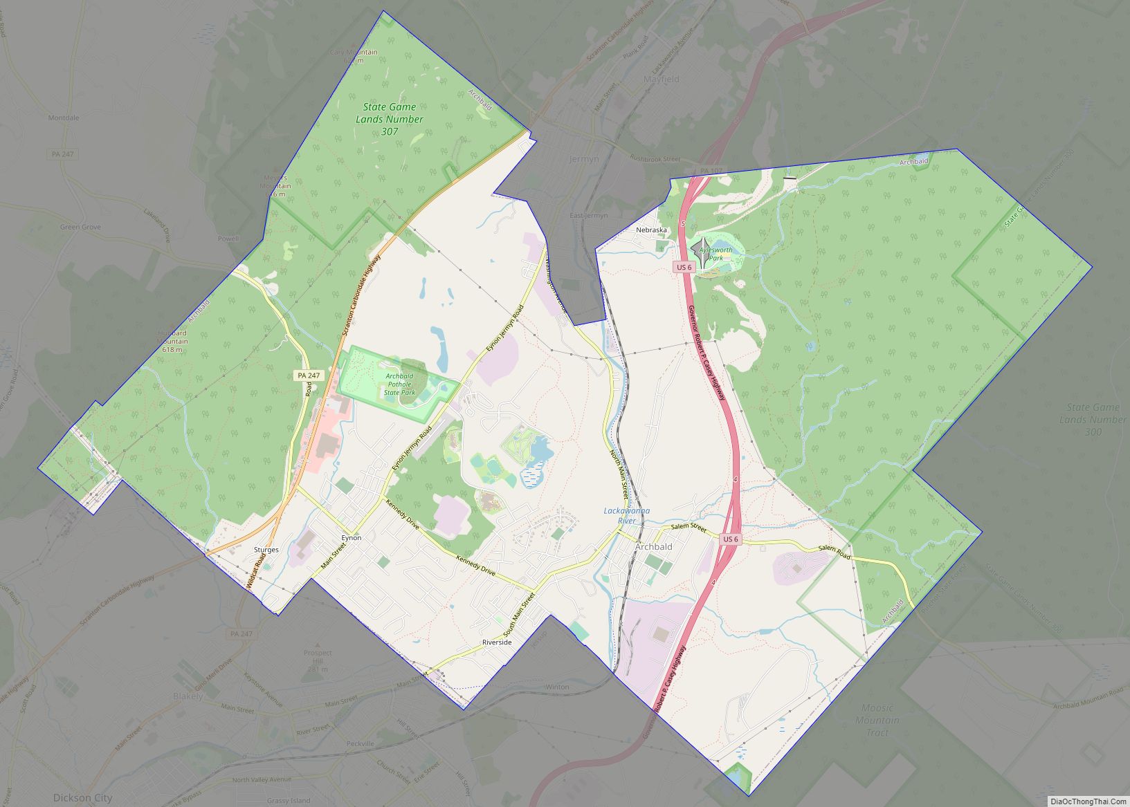
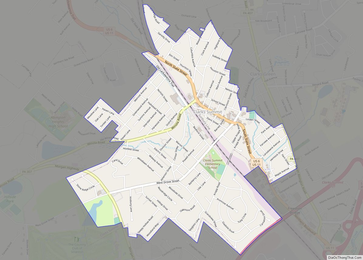
Clarks Summit Road Map
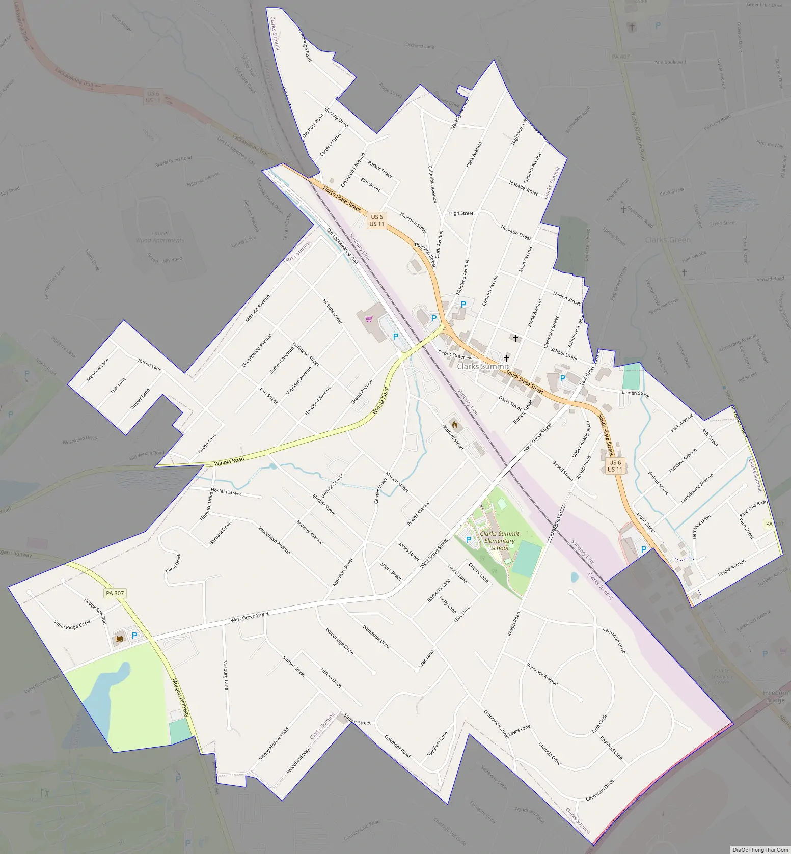
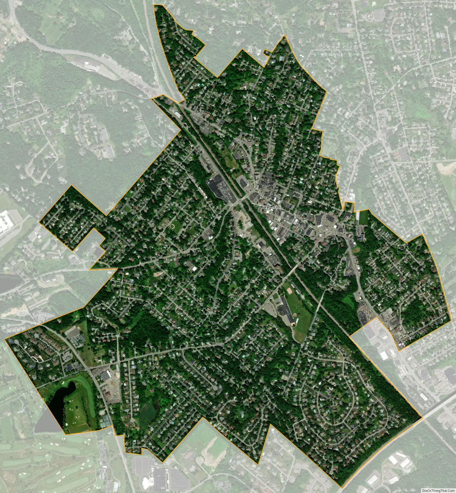
Clarks Summit city Satellite Map
Geography
Clarks Summit is located at 41°29′34″N 75°42′18″W / 41.49278°N 75.70500°W / 41.49278; -75.70500 (41.492878, -75.704904).
According to the U.S. Census Bureau, the borough has a total area of 1.6 square miles (4.1 km), all land.
See also
Map of Pennsylvania State and its subdivision:- Adams
- Allegheny
- Armstrong
- Beaver
- Bedford
- Berks
- Blair
- Bradford
- Bucks
- Butler
- Cambria
- Cameron
- Carbon
- Centre
- Chester
- Clarion
- Clearfield
- Clinton
- Columbia
- Crawford
- Cumberland
- Dauphin
- Delaware
- Elk
- Erie
- Fayette
- Forest
- Franklin
- Fulton
- Greene
- Huntingdon
- Indiana
- Jefferson
- Juniata
- Lackawanna
- Lancaster
- Lawrence
- Lebanon
- Lehigh
- Luzerne
- Lycoming
- Mc Kean
- Mercer
- Mifflin
- Monroe
- Montgomery
- Montour
- Northampton
- Northumberland
- Perry
- Philadelphia
- Pike
- Potter
- Schuylkill
- Snyder
- Somerset
- Sullivan
- Susquehanna
- Tioga
- Union
- Venango
- Warren
- Washington
- Wayne
- Westmoreland
- Wyoming
- York
- Alabama
- Alaska
- Arizona
- Arkansas
- California
- Colorado
- Connecticut
- Delaware
- District of Columbia
- Florida
- Georgia
- Hawaii
- Idaho
- Illinois
- Indiana
- Iowa
- Kansas
- Kentucky
- Louisiana
- Maine
- Maryland
- Massachusetts
- Michigan
- Minnesota
- Mississippi
- Missouri
- Montana
- Nebraska
- Nevada
- New Hampshire
- New Jersey
- New Mexico
- New York
- North Carolina
- North Dakota
- Ohio
- Oklahoma
- Oregon
- Pennsylvania
- Rhode Island
- South Carolina
- South Dakota
- Tennessee
- Texas
- Utah
- Vermont
- Virginia
- Washington
- West Virginia
- Wisconsin
- Wyoming