Collegeville is a borough in Montgomery County, Pennsylvania, a suburb outside of Philadelphia on Perkiomen Creek. Collegeville was incorporated in 1896. It is the location of Ursinus College which opened in 1869. The population was 5,089 at the 2010 census.
| Name: | Collegeville borough |
|---|---|
| LSAD Code: | 21 |
| LSAD Description: | borough (suffix) |
| State: | Pennsylvania |
| County: | Montgomery County |
| Elevation: | 207 ft (63 m) |
| Total Area: | 1.61 sq mi (4.17 km²) |
| Land Area: | 1.57 sq mi (4.07 km²) |
| Water Area: | 0.04 sq mi (0.10 km²) |
| Total Population: | 5,043 |
| Population Density: | 3,208.02/sq mi (1,238.75/km²) |
| Area code: | 610 |
| FIPS code: | 4215192 |
| Website: | www.collegeville-pa.gov |
Online Interactive Map
Click on ![]() to view map in "full screen" mode.
to view map in "full screen" mode.
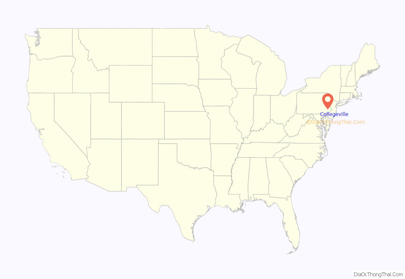
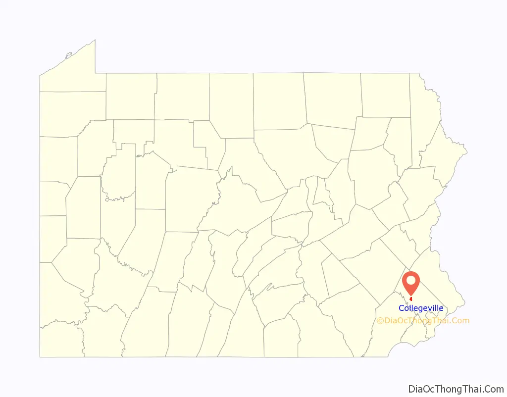
Collegeville location map. Where is Collegeville borough?
History
The area which is present day Collegeville was part of the original William Penn purchase of “All the land lying on the Pahkehoma” in 1684. In 1799, Perkiomen Bridge was constructed using funds raised from a special lottery approved by the Pennsylvania Legislature. When the first post office in this area was established in 1847, it was called Perkiomen Bridge. In 1832, the first school for primary and secondary students was established and it was later renamed Freeland Public School in 1844. In 1848, Henry A. Hunsicker built the “Freeland Seminary of Perkiomen Bridge.” Village around the school became known as Freeland. In 1851, Abraham Hunsicker established the Pennsylvania Female College near present-day Glenwood Avenue. Ten years later, in 1861, the post office was moved and renamed Freeland.
When the trains first arrived in the area in 1868, there was a debate about naming of the station (Perkiomen Bridge vs Freeland). The local citizens had acquired notoriety when they had burned down the toll booth on the Perkiomen Bridge and thrown the gate into the river. The rail company avoided any troubles by naming it “Collegeville” (the station was actually closer to the Pennsylvania Female College than either Freeland School or Perkiomen Bridge). Ursinus College was founded a year later in 1869. Thus the name “Collegeville” precedes the establishment of Ursinus College and it is actually named after the other 4-year liberal arts college (Pennsylvania Female College) which closed in 1880. Collegeville was incorporated as borough in 1896.
The Perkiomen Bridge and Perkiomen Bridge Hotel are listed on the National Register of Historic Places.
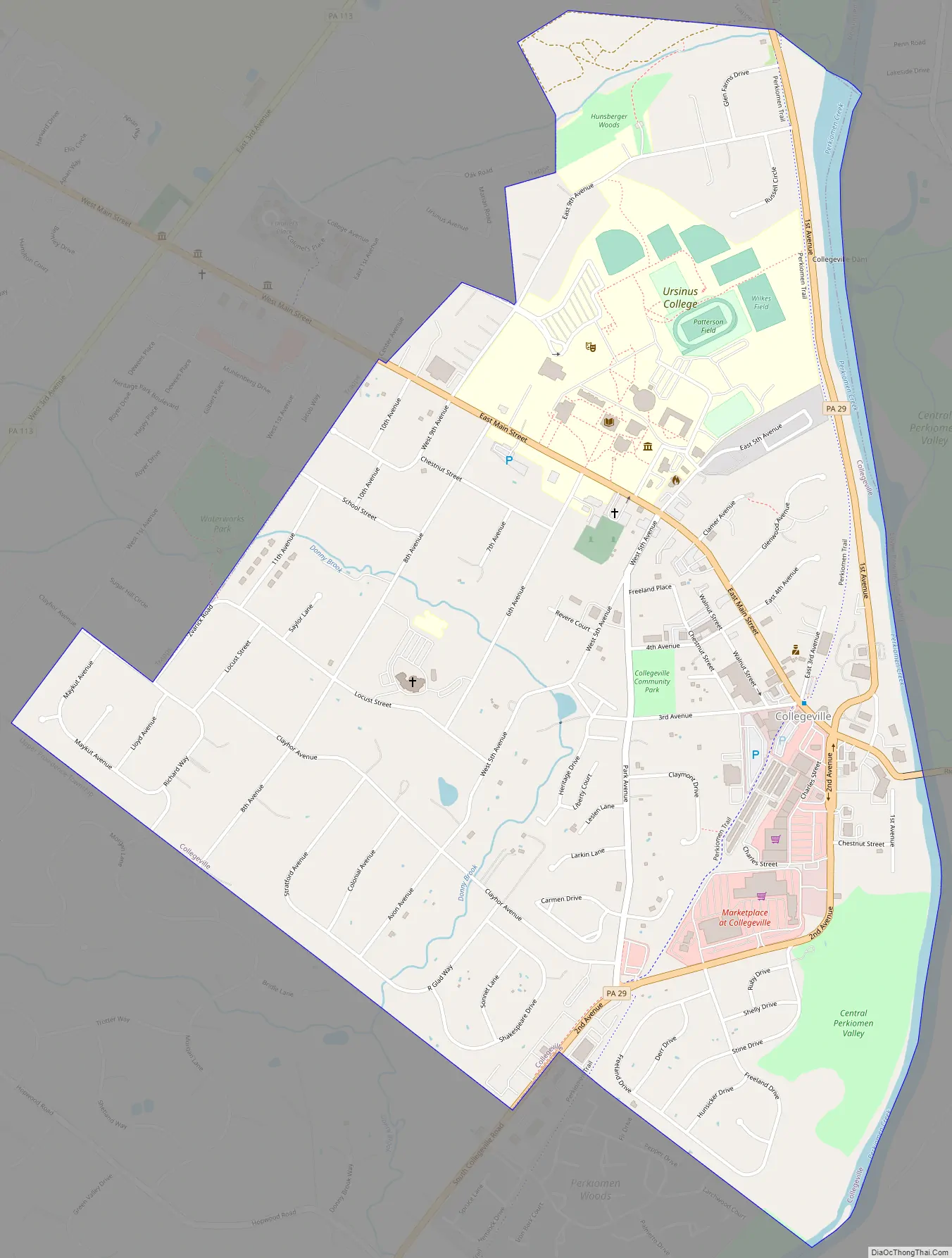
Collegeville Road Map
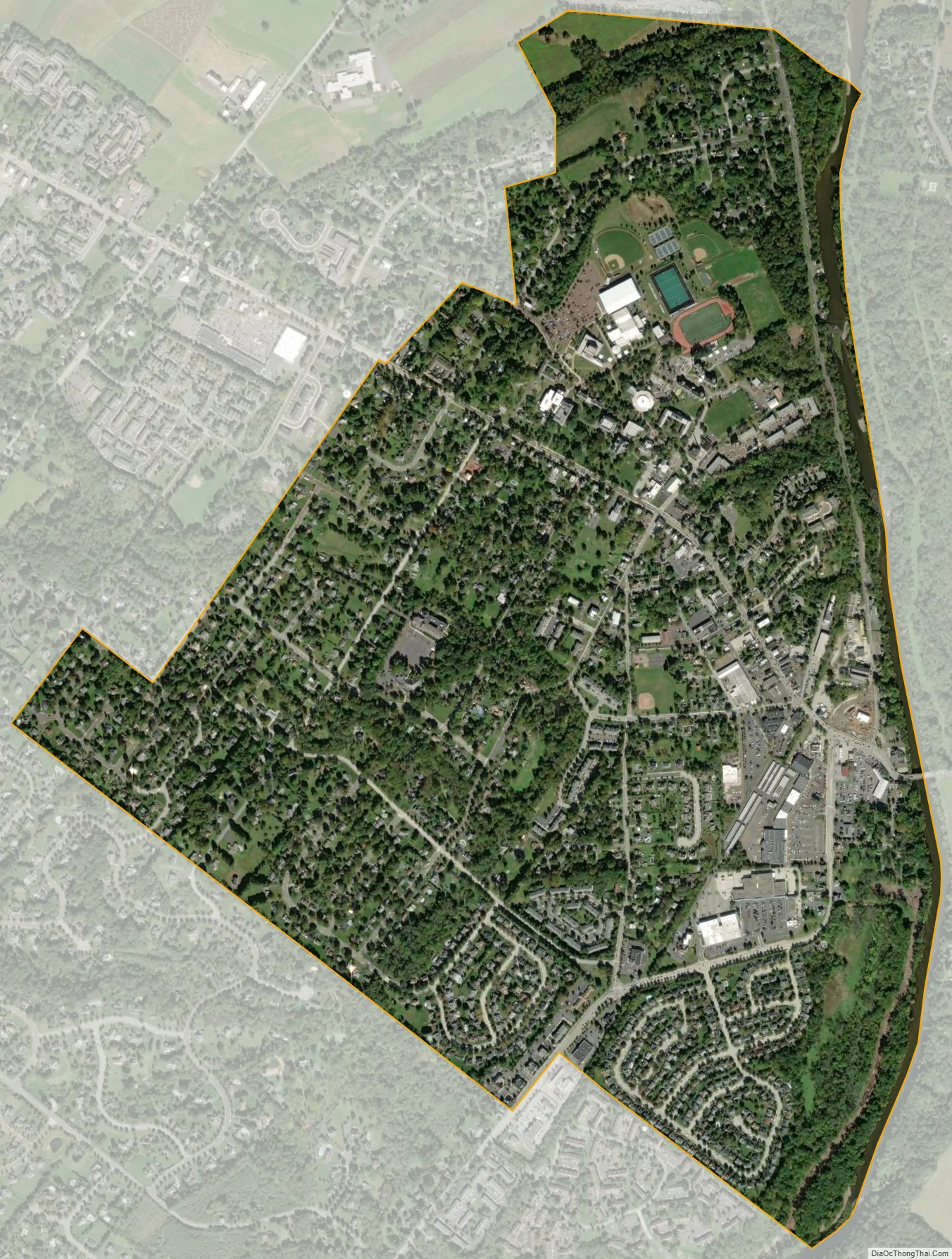
Collegeville city Satellite Map
Geography
Collegeville is located at 40°11′8″N 75°27′30″W / 40.18556°N 75.45833°W / 40.18556; -75.45833 (40.185554, -75.458273). According to the U.S. Census Bureau, the borough has a total area of 1.6 square miles (4.1 km), of which 1.6 square miles (4.1 km) is land and 0.1 square miles (0.26 km) (3.70%) is water. It has a hot-summer humid continental climate (Dfa) and average monthly temperatures range from 31.0 °F in January to 75.7 °F in July. The hardiness zone is 7a bordering upon 6b.
See also
Map of Pennsylvania State and its subdivision:- Adams
- Allegheny
- Armstrong
- Beaver
- Bedford
- Berks
- Blair
- Bradford
- Bucks
- Butler
- Cambria
- Cameron
- Carbon
- Centre
- Chester
- Clarion
- Clearfield
- Clinton
- Columbia
- Crawford
- Cumberland
- Dauphin
- Delaware
- Elk
- Erie
- Fayette
- Forest
- Franklin
- Fulton
- Greene
- Huntingdon
- Indiana
- Jefferson
- Juniata
- Lackawanna
- Lancaster
- Lawrence
- Lebanon
- Lehigh
- Luzerne
- Lycoming
- Mc Kean
- Mercer
- Mifflin
- Monroe
- Montgomery
- Montour
- Northampton
- Northumberland
- Perry
- Philadelphia
- Pike
- Potter
- Schuylkill
- Snyder
- Somerset
- Sullivan
- Susquehanna
- Tioga
- Union
- Venango
- Warren
- Washington
- Wayne
- Westmoreland
- Wyoming
- York
- Alabama
- Alaska
- Arizona
- Arkansas
- California
- Colorado
- Connecticut
- Delaware
- District of Columbia
- Florida
- Georgia
- Hawaii
- Idaho
- Illinois
- Indiana
- Iowa
- Kansas
- Kentucky
- Louisiana
- Maine
- Maryland
- Massachusetts
- Michigan
- Minnesota
- Mississippi
- Missouri
- Montana
- Nebraska
- Nevada
- New Hampshire
- New Jersey
- New Mexico
- New York
- North Carolina
- North Dakota
- Ohio
- Oklahoma
- Oregon
- Pennsylvania
- Rhode Island
- South Carolina
- South Dakota
- Tennessee
- Texas
- Utah
- Vermont
- Virginia
- Washington
- West Virginia
- Wisconsin
- Wyoming


