Connellsville is a city in Fayette County, Pennsylvania, United States, 36 miles (58 km) southeast of Pittsburgh and 50 miles (80 km) away via the Youghiogheny River, a tributary of the Monongahela River. It is part of the Pittsburgh Metro Area. The population was 7,637 at the 2010 census, a decline from the figure of 9,146 tabulated in 2000.
| Name: | Connellsville city |
|---|---|
| LSAD Code: | 25 |
| LSAD Description: | city (suffix) |
| State: | Pennsylvania |
| County: | Fayette County |
| Incorporated: | May 12, 1911 |
| Elevation: | 919 ft (280 m) |
| Total Area: | 2.27 sq mi (5.87 km²) |
| Land Area: | 2.18 sq mi (5.65 km²) |
| Water Area: | 0.09 sq mi (0.22 km²) |
| Total Population: | 7,031 |
| Population Density: | 3,222.27/sq mi (1,244.16/km²) |
| ZIP code: | 15425 |
| Area code: | 724 |
| FIPS code: | 4215776 |
| Website: | connellsville.us |
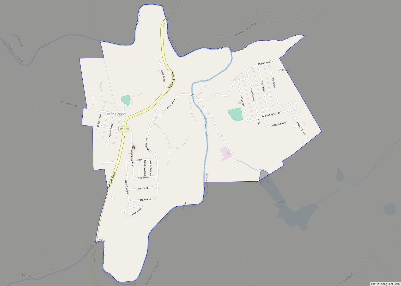
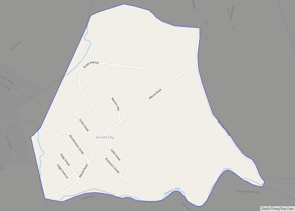
Online Interactive Map
Click on ![]() to view map in "full screen" mode.
to view map in "full screen" mode.
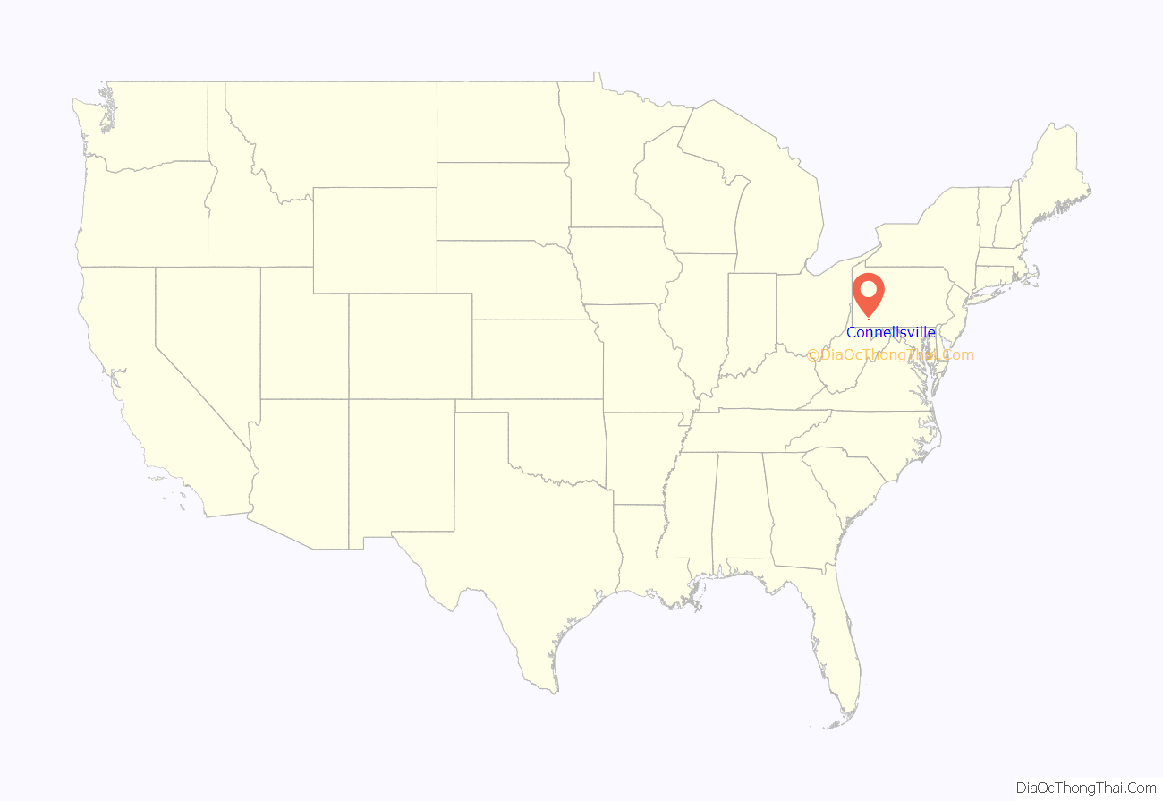
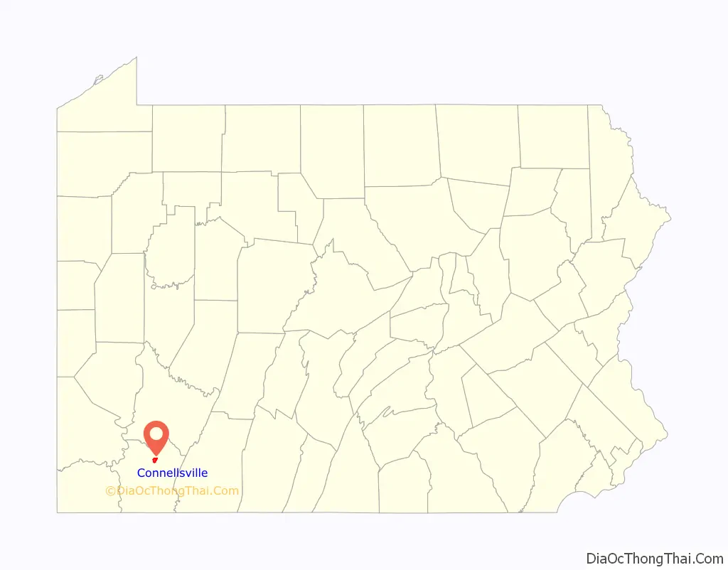
Connellsville location map. Where is Connellsville city?
History
During the French and Indian War, a British army commanded by General Edward Braddock approached Fort Duquesne and crossed the Youghiogheny River at Stewart’s Crossing, which is situated in the middle of what is now the city of Connellsville.
Connellsville was officially founded as a township in 1793 then as a borough on March 1, 1806, by Zachariah Connell, a militia captain during the American Revolution. In February 1909, balloting in New Haven and Connellsville resulted in these two boroughs joining and becoming the first city in Fayette County on May 12, 1911.
Due to the city’s location in the center of the Connellsville Coalfield, coal mining, coke production, and other accompanying industries became the major sources of employment and revenue during the late 19th and early 20th centuries. Connellsville became known at the “Coke Capital of the World” due to the amount and quality of coke produced in the city’s many beehive ovens.
Carnegie Free Library (1903)
National Register of Historic PlacesUS Post Office (1913)
National Register of Historic Places
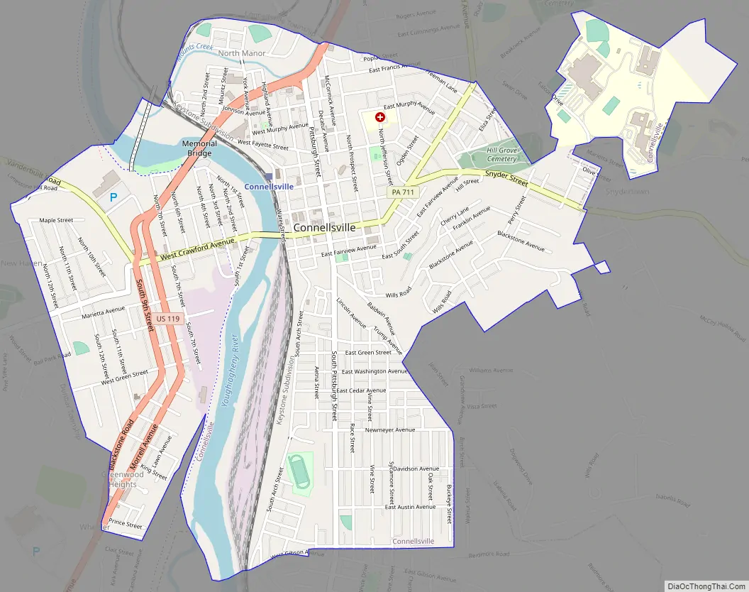
Connellsville Road Map
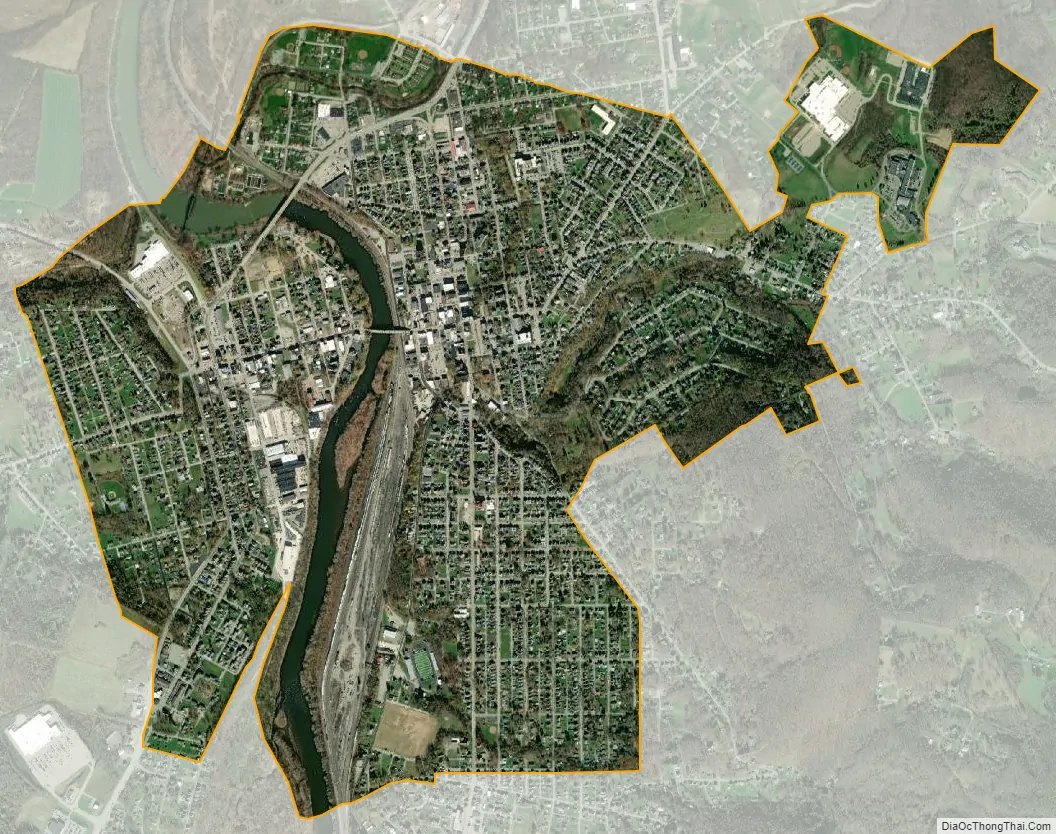
Connellsville city Satellite Map
Geography
Connellsville is located in northeastern Fayette County along the Youghiogheny River, a northward-flowing tributary of the Monongahela River. The city lies on both sides of the river, with the downtown on the eastern side. It is bordered to the south by the borough of South Connellsville. U.S. Route 119 passes through the northern and western sides of the city, leading north 22 miles (35 km) to Greensburg and southwest 11 miles (18 km) to Uniontown, the Fayette County seat. Pittsburgh is 50 miles (80 km) to the northwest via US 119 and Interstate 76.
According to the U.S. Census Bureau, Connellsville has a total area of 2.29 square miles (5.92 km), of which 2.18 square miles (5.65 km) is land and 0.10 square miles (0.27 km), or 4.63%, is water.
See also
Map of Pennsylvania State and its subdivision:- Adams
- Allegheny
- Armstrong
- Beaver
- Bedford
- Berks
- Blair
- Bradford
- Bucks
- Butler
- Cambria
- Cameron
- Carbon
- Centre
- Chester
- Clarion
- Clearfield
- Clinton
- Columbia
- Crawford
- Cumberland
- Dauphin
- Delaware
- Elk
- Erie
- Fayette
- Forest
- Franklin
- Fulton
- Greene
- Huntingdon
- Indiana
- Jefferson
- Juniata
- Lackawanna
- Lancaster
- Lawrence
- Lebanon
- Lehigh
- Luzerne
- Lycoming
- Mc Kean
- Mercer
- Mifflin
- Monroe
- Montgomery
- Montour
- Northampton
- Northumberland
- Perry
- Philadelphia
- Pike
- Potter
- Schuylkill
- Snyder
- Somerset
- Sullivan
- Susquehanna
- Tioga
- Union
- Venango
- Warren
- Washington
- Wayne
- Westmoreland
- Wyoming
- York
- Alabama
- Alaska
- Arizona
- Arkansas
- California
- Colorado
- Connecticut
- Delaware
- District of Columbia
- Florida
- Georgia
- Hawaii
- Idaho
- Illinois
- Indiana
- Iowa
- Kansas
- Kentucky
- Louisiana
- Maine
- Maryland
- Massachusetts
- Michigan
- Minnesota
- Mississippi
- Missouri
- Montana
- Nebraska
- Nevada
- New Hampshire
- New Jersey
- New Mexico
- New York
- North Carolina
- North Dakota
- Ohio
- Oklahoma
- Oregon
- Pennsylvania
- Rhode Island
- South Carolina
- South Dakota
- Tennessee
- Texas
- Utah
- Vermont
- Virginia
- Washington
- West Virginia
- Wisconsin
- Wyoming