Delaware Water Gap is a borough in Monroe County, Pennsylvania, United States. It is located adjacent to the Delaware Water Gap, the pass through which the Lackawanna Corridor and Interstate 80 run across the Pennsylvania-New Jersey border along the Delaware River.
The population of Delaware Water Gap was 675 at the 2020 census.
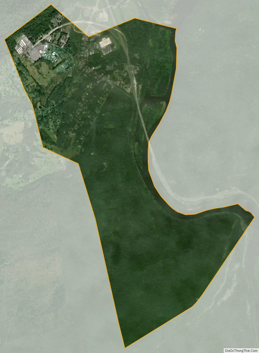
| Name: | Delaware Water Gap borough |
|---|---|
| LSAD Code: | 21 |
| LSAD Description: | borough (suffix) |
| State: | Pennsylvania |
| County: | Monroe County |
| Elevation: | 400 ft (100 m) |
| Total Area: | 2.06 sq mi (5.35 km²) |
| Land Area: | 1.93 sq mi (5.00 km²) |
| Water Area: | 0.13 sq mi (0.35 km²) |
| Total Population: | 675 |
| Population Density: | 349.74/sq mi (135.02/km²) |
| ZIP code: | 18327 |
| Area code: | 570 |
| FIPS code: | 4218736 |
| Website: | dwgpa.gov |
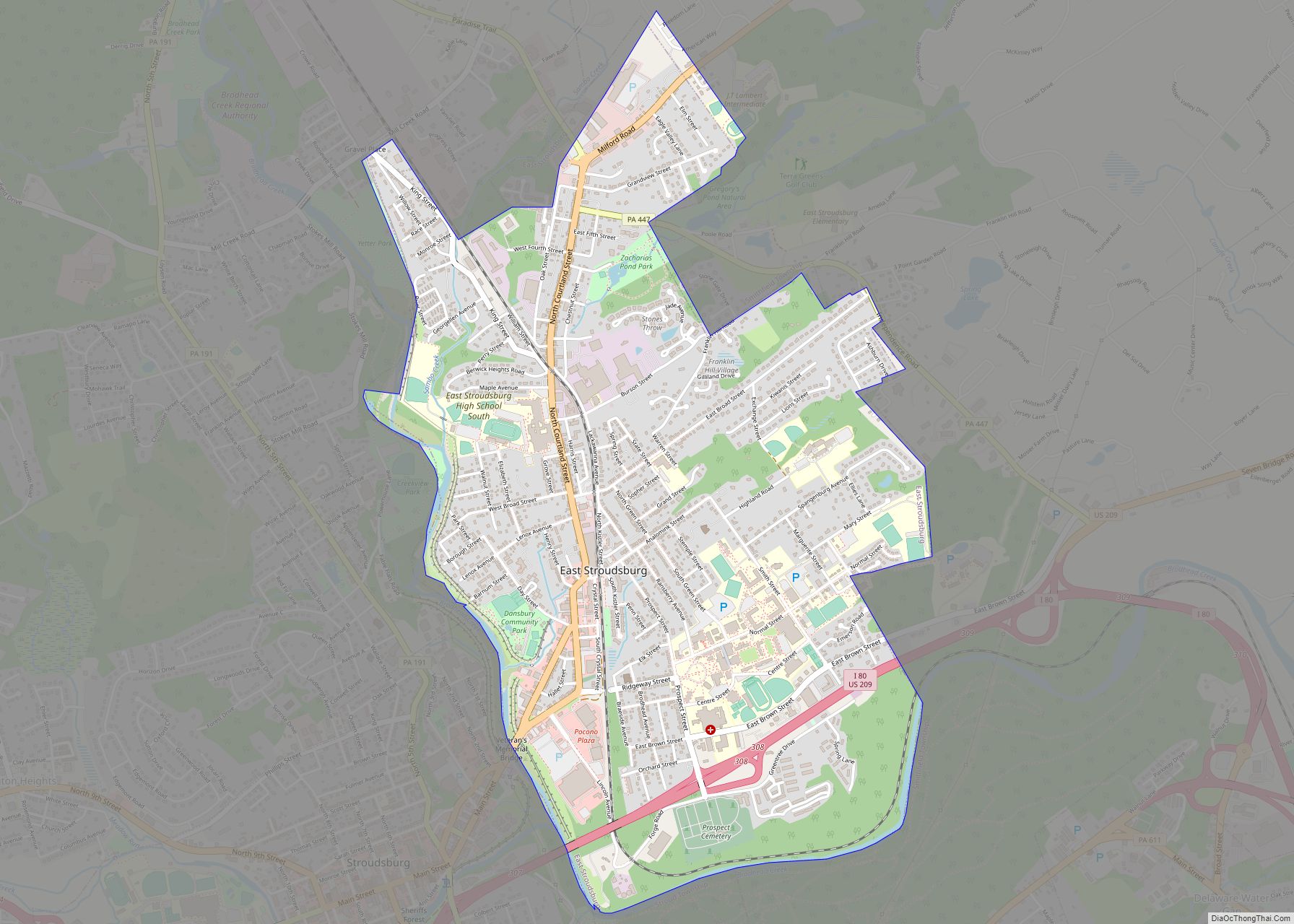
Online Interactive Map
Click on ![]() to view map in "full screen" mode.
to view map in "full screen" mode.
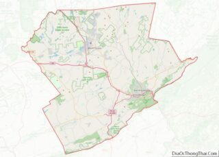
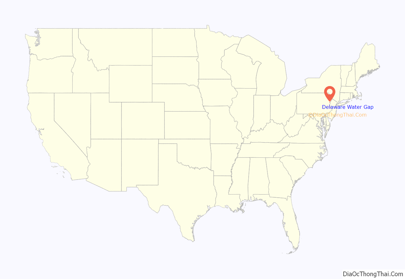
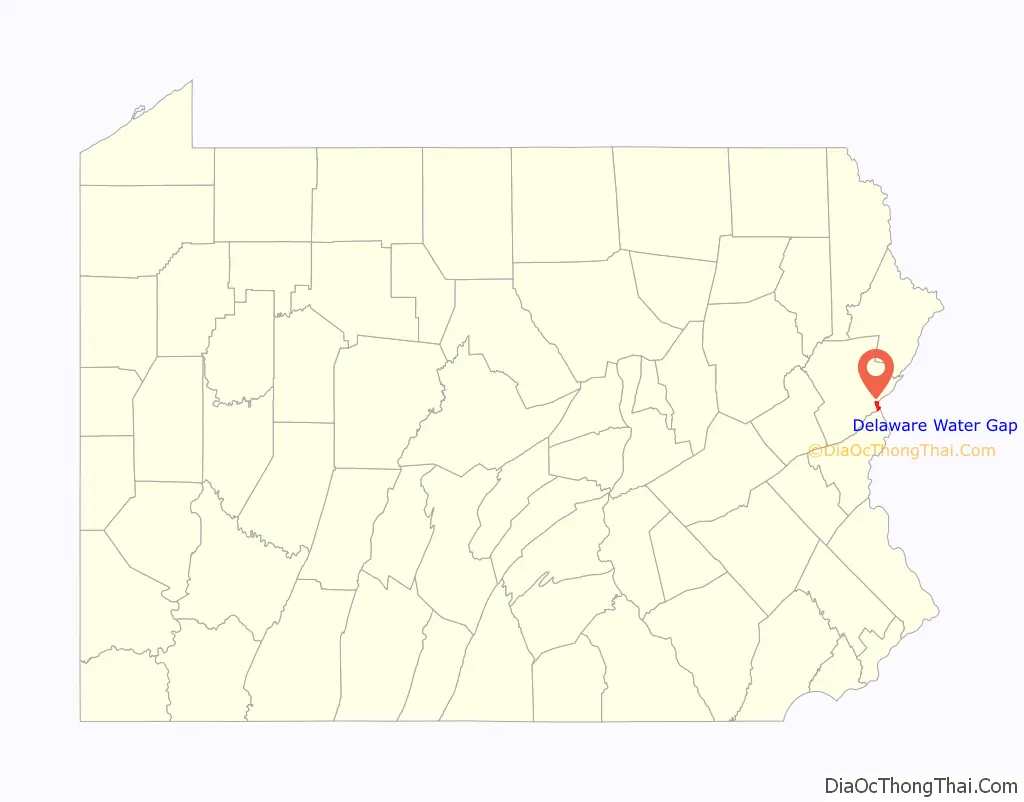
Delaware Water Gap location map. Where is Delaware Water Gap borough?
History
The Delaware Water Gap station (Delaware, Lackawanna and Western Railroad) was added to the National Register of Historic Places in 2002.
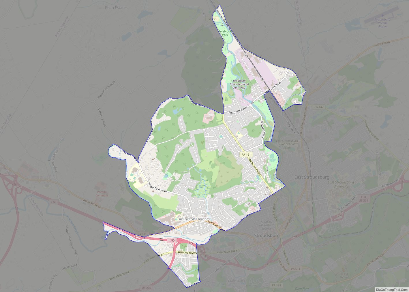
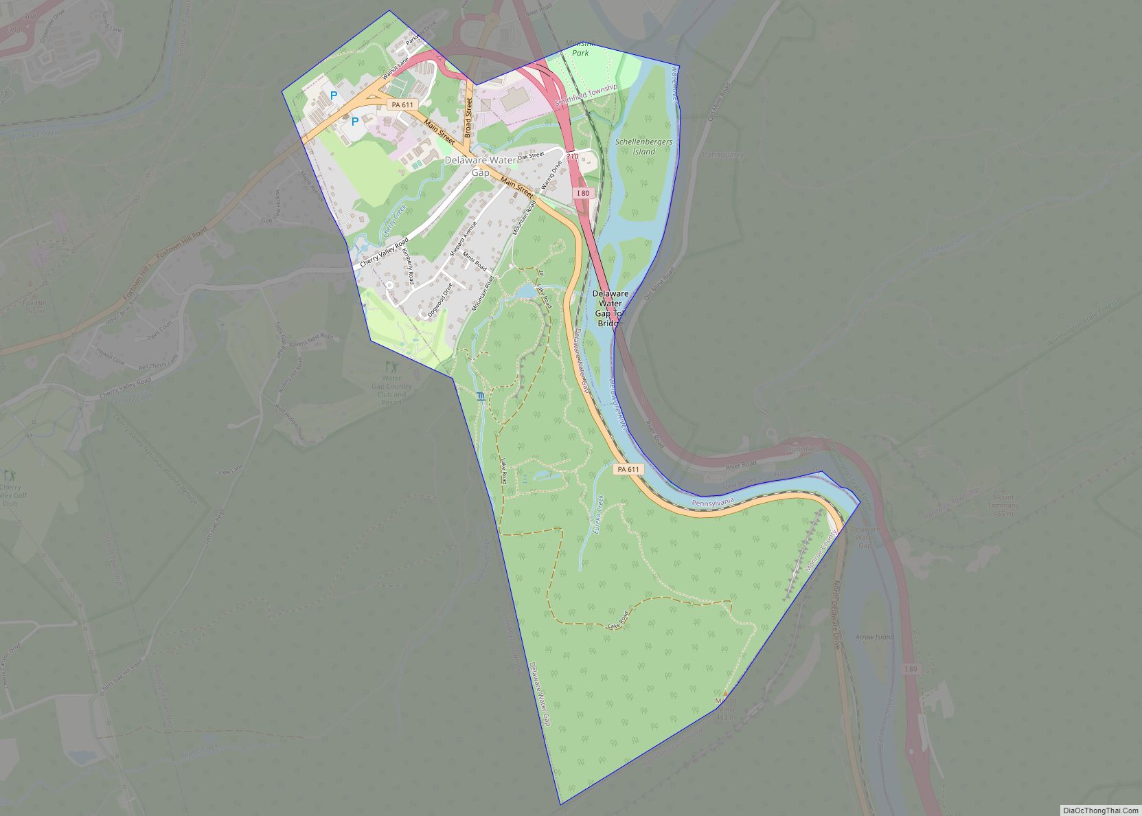
Delaware Water Gap Road Map
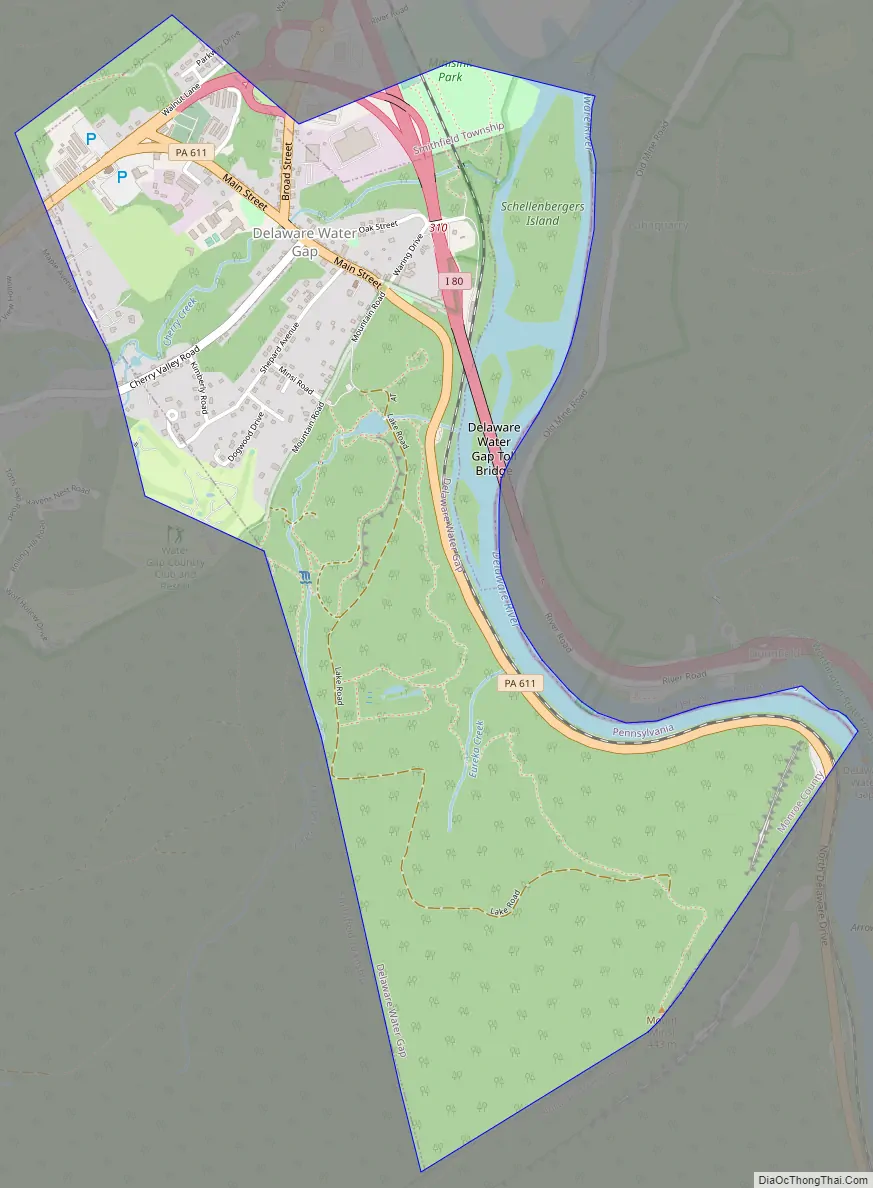
Delaware Water Gap city Satellite Map
Geography
Delaware Water Gap is located at 40°58′55″N 75°8′33″W / 40.98194°N 75.14250°W / 40.98194; -75.14250 (40.982028, -75.142624).
According to the United States Census Bureau, the borough has a total area of 1.7 square miles (4.4 km), all land.
See also
Map of Pennsylvania State and its subdivision:- Adams
- Allegheny
- Armstrong
- Beaver
- Bedford
- Berks
- Blair
- Bradford
- Bucks
- Butler
- Cambria
- Cameron
- Carbon
- Centre
- Chester
- Clarion
- Clearfield
- Clinton
- Columbia
- Crawford
- Cumberland
- Dauphin
- Delaware
- Elk
- Erie
- Fayette
- Forest
- Franklin
- Fulton
- Greene
- Huntingdon
- Indiana
- Jefferson
- Juniata
- Lackawanna
- Lancaster
- Lawrence
- Lebanon
- Lehigh
- Luzerne
- Lycoming
- Mc Kean
- Mercer
- Mifflin
- Monroe
- Montgomery
- Montour
- Northampton
- Northumberland
- Perry
- Philadelphia
- Pike
- Potter
- Schuylkill
- Snyder
- Somerset
- Sullivan
- Susquehanna
- Tioga
- Union
- Venango
- Warren
- Washington
- Wayne
- Westmoreland
- Wyoming
- York
- Alabama
- Alaska
- Arizona
- Arkansas
- California
- Colorado
- Connecticut
- Delaware
- District of Columbia
- Florida
- Georgia
- Hawaii
- Idaho
- Illinois
- Indiana
- Iowa
- Kansas
- Kentucky
- Louisiana
- Maine
- Maryland
- Massachusetts
- Michigan
- Minnesota
- Mississippi
- Missouri
- Montana
- Nebraska
- Nevada
- New Hampshire
- New Jersey
- New Mexico
- New York
- North Carolina
- North Dakota
- Ohio
- Oklahoma
- Oregon
- Pennsylvania
- Rhode Island
- South Carolina
- South Dakota
- Tennessee
- Texas
- Utah
- Vermont
- Virginia
- Washington
- West Virginia
- Wisconsin
- Wyoming