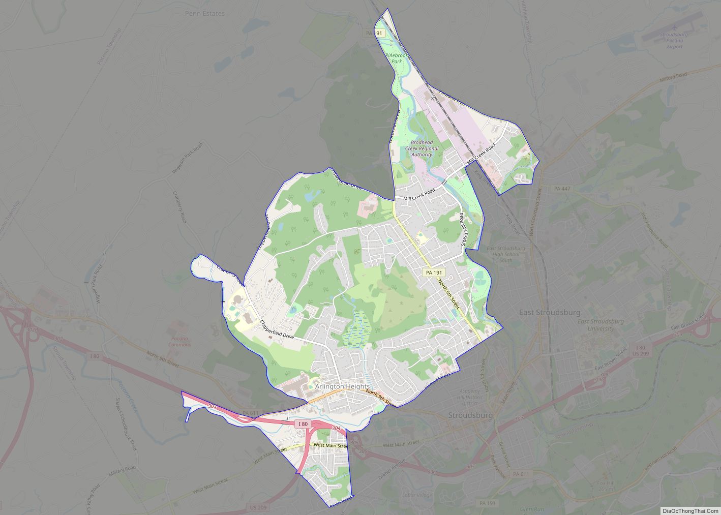
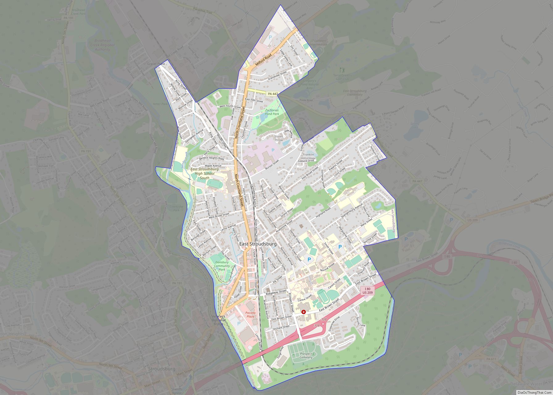
East Stroudsburg is a borough in Monroe County, Pennsylvania, United States. It is located in the Poconos region of the state. Originally known as “Dansbury”, East Stroudsburg was renamed for geographic reasons when the Delaware, Lackawanna, and Western Railroad opened a station in town. Despite its name being derivative of its bordering borough, Stroudsburg, it has almost twice the population. East Stroudsburg is the largest municipality in Monroe County and in the East Stroudsburg, Pennsylvania, Metropolitan Statistical Area as designated by the Office of Management and Budget based on data from the 2010 US Census.
The population was 9,847 at the 2020 census.
East Stroudsburg is located 42 miles (68 km) northeast of Allentown, 102 miles (164 km) north of Philadelphia, and 75 miles (121 km) west of New York City.
| Name: | East Stroudsburg borough |
|---|---|
| LSAD Code: | 21 |
| LSAD Description: | borough (suffix) |
| State: | Pennsylvania |
| County: | Monroe County |
| Founded: | 1738 |
| Elevation: | 466 ft (142 m) |
| Land Area: | 2.84 sq mi (7.37 km²) |
| Water Area: | 0.02 sq mi (0.04 km²) |
| Population Density: | 3,399.79/sq mi (1,312.58/km²) |
| Area code: | 570 |
| FIPS code: | 4221872 |
| Website: | eaststroudsburgboro.org |
Online Interactive Map
Click on ![]() to view map in "full screen" mode.
to view map in "full screen" mode.
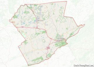
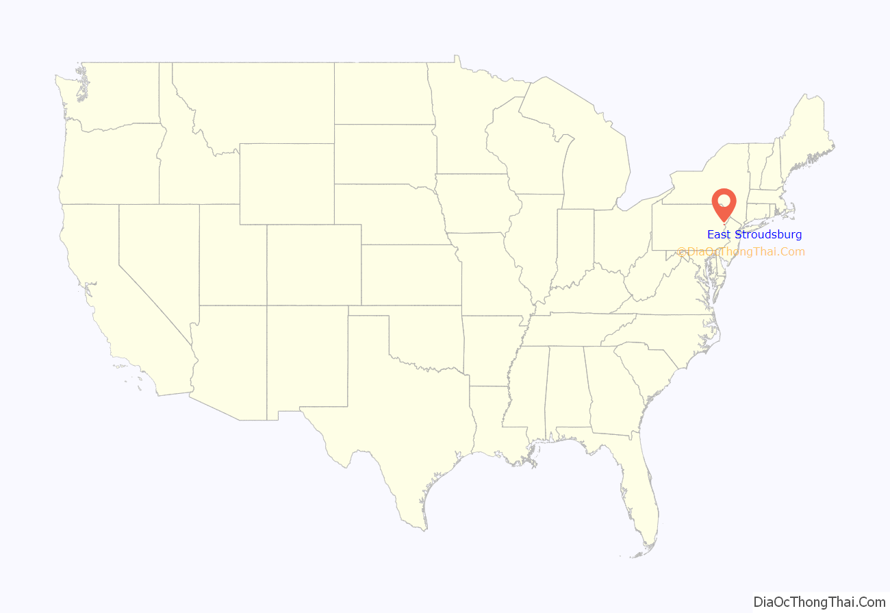
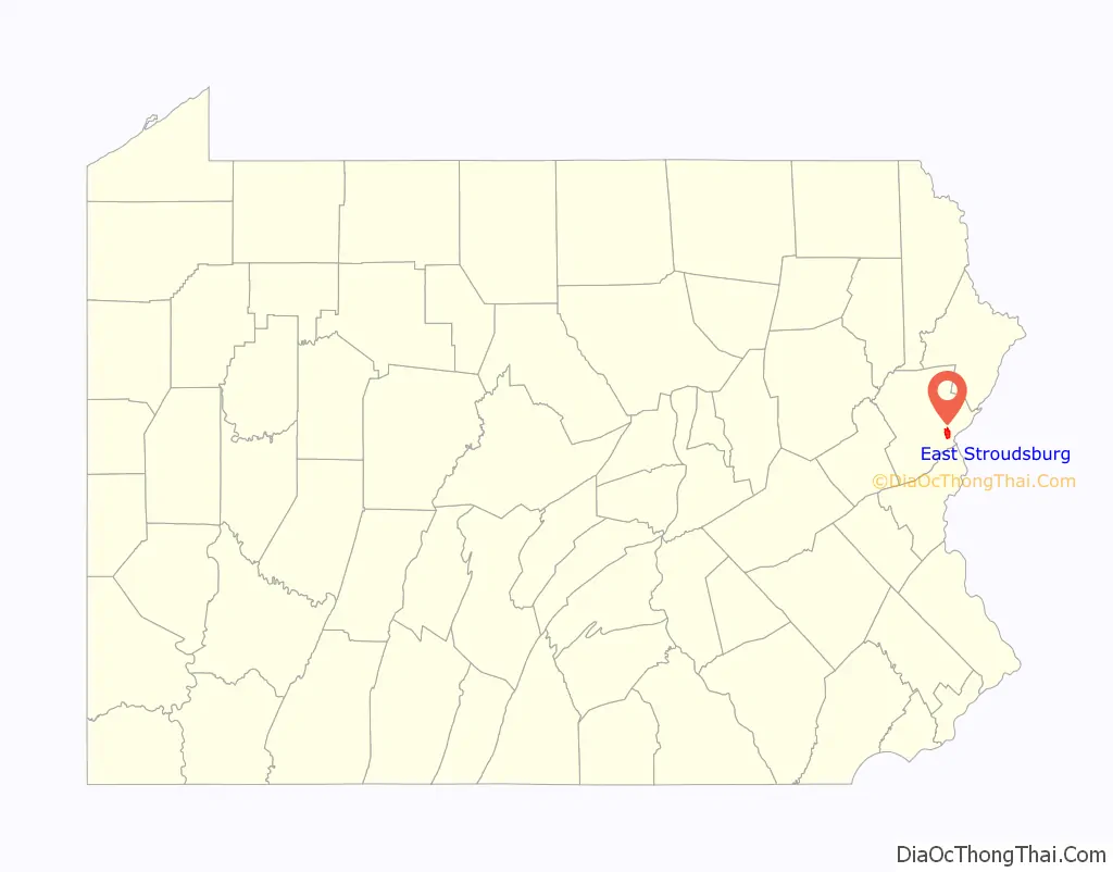
East Stroudsburg location map. Where is East Stroudsburg borough?
History
The area of Stroudsburg was first permanently settled in 1738, when James Monroe received a warrant of 600 acres in Bucks County, now Monroe County along the east bank of the Analomink or Smithfield Creek; now named Brodhead Creek. An additional warrant for 150 acres on the west bank was given to Brodhead in 1750. Brodhead, a judge, was friendly with the local Indians, as well as with the Moravian missionaries who came to the area from Bethlehem, Pennsylvania.
The East Stroudsburg Armory and East Stroudsburg Station are listed on the National Register of Historic Places.
East Stroudsburg Road Map
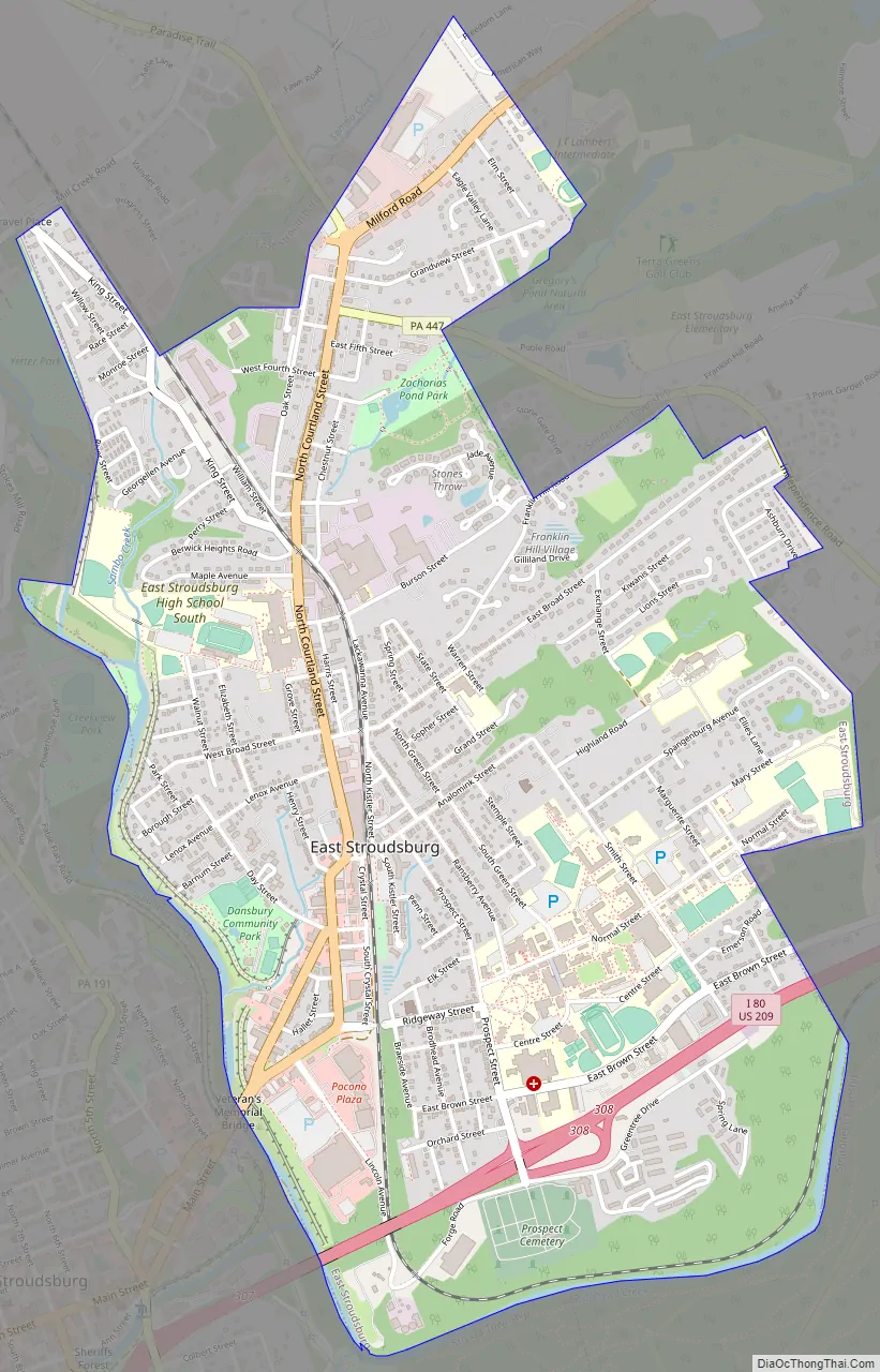
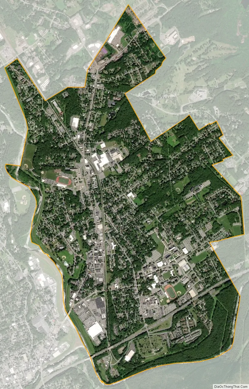
East Stroudsburg city Satellite Map
Geography
East Stroudsburg is located at 41°0′5″N 75°10′48″W / 41.00139°N 75.18000°W / 41.00139; -75.18000 (41.001442, -75.180111). According to the United States Census Bureau, the borough has a total area of 2.9 square miles (7.5 km), all land. When traveling west on Interstate 80, East Stroudsburg is the second town from the NJ-PA border, on exit 308.
See also
Map of Pennsylvania State and its subdivision:- Adams
- Allegheny
- Armstrong
- Beaver
- Bedford
- Berks
- Blair
- Bradford
- Bucks
- Butler
- Cambria
- Cameron
- Carbon
- Centre
- Chester
- Clarion
- Clearfield
- Clinton
- Columbia
- Crawford
- Cumberland
- Dauphin
- Delaware
- Elk
- Erie
- Fayette
- Forest
- Franklin
- Fulton
- Greene
- Huntingdon
- Indiana
- Jefferson
- Juniata
- Lackawanna
- Lancaster
- Lawrence
- Lebanon
- Lehigh
- Luzerne
- Lycoming
- Mc Kean
- Mercer
- Mifflin
- Monroe
- Montgomery
- Montour
- Northampton
- Northumberland
- Perry
- Philadelphia
- Pike
- Potter
- Schuylkill
- Snyder
- Somerset
- Sullivan
- Susquehanna
- Tioga
- Union
- Venango
- Warren
- Washington
- Wayne
- Westmoreland
- Wyoming
- York
- Alabama
- Alaska
- Arizona
- Arkansas
- California
- Colorado
- Connecticut
- Delaware
- District of Columbia
- Florida
- Georgia
- Hawaii
- Idaho
- Illinois
- Indiana
- Iowa
- Kansas
- Kentucky
- Louisiana
- Maine
- Maryland
- Massachusetts
- Michigan
- Minnesota
- Mississippi
- Missouri
- Montana
- Nebraska
- Nevada
- New Hampshire
- New Jersey
- New Mexico
- New York
- North Carolina
- North Dakota
- Ohio
- Oklahoma
- Oregon
- Pennsylvania
- Rhode Island
- South Carolina
- South Dakota
- Tennessee
- Texas
- Utah
- Vermont
- Virginia
- Washington
- West Virginia
- Wisconsin
- Wyoming