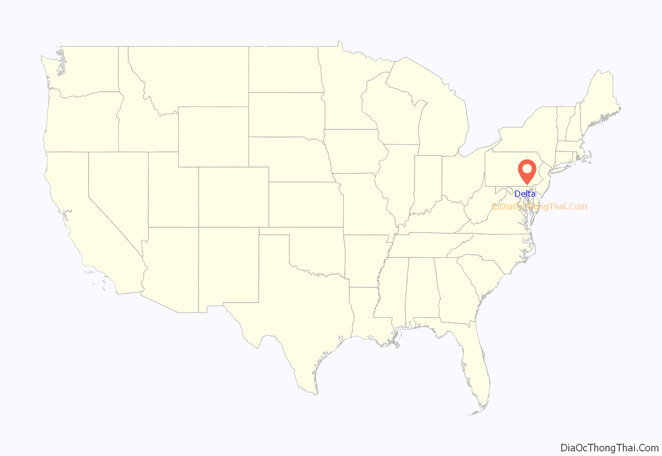
Delta is a borough in York County, Pennsylvania, United States, and one of the southernmost communities in Pennsylvania. The population was 706 at the 2020 census. It is served by the South Eastern School District which provides a public education.
| Name: | Delta borough |
|---|---|
| LSAD Code: | 21 |
| LSAD Description: | borough (suffix) |
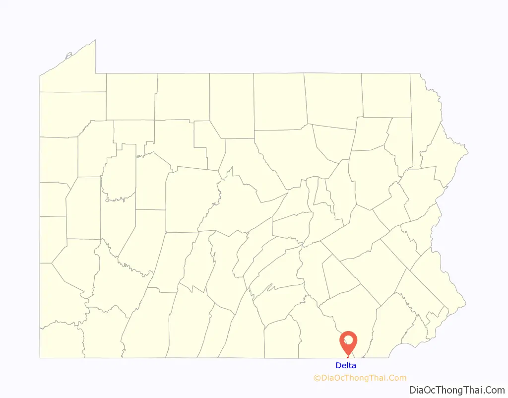
| State: | Pennsylvania |
| County: | York County |
| Incorporated: | 1853 |
| Elevation: | 627 ft (191 m) |
| Total Area: | 0.26 sq mi (0.68 km²) |
| Land Area: | 0.26 sq mi (0.68 km²) |
| Water Area: | 0.00 sq mi (0.00 km²) |
| Total Population: | 707 |
| Population Density: | 2,698.47/sq mi (1,042.24/km²) |
| Area code: | 717 |
| FIPS code: | 4218800 |
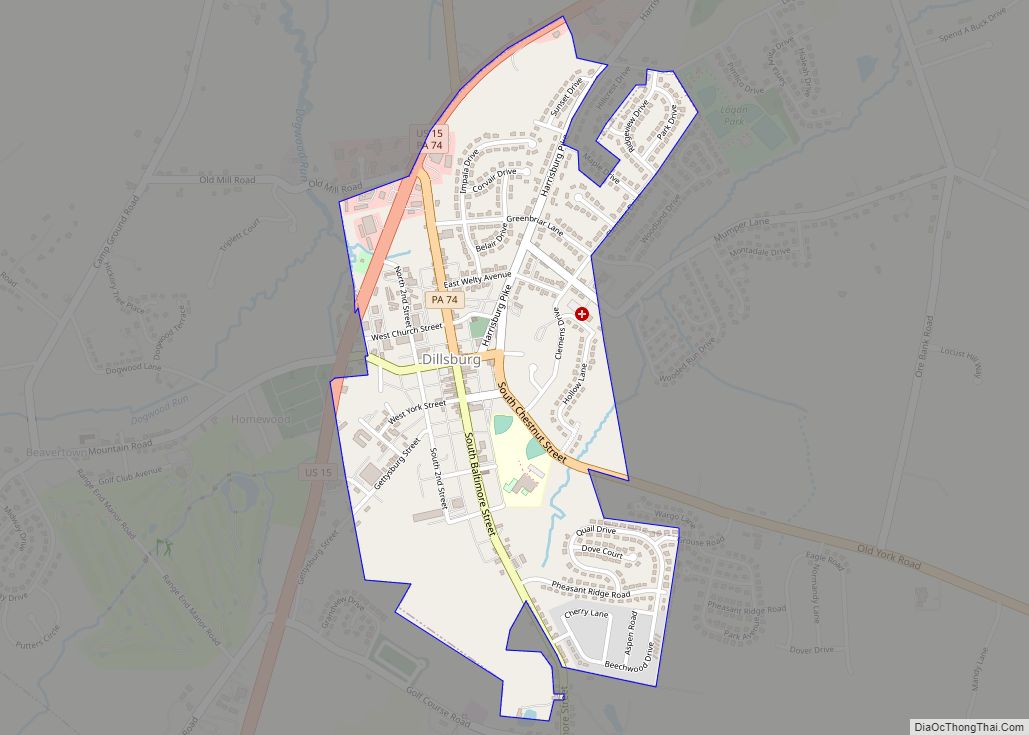
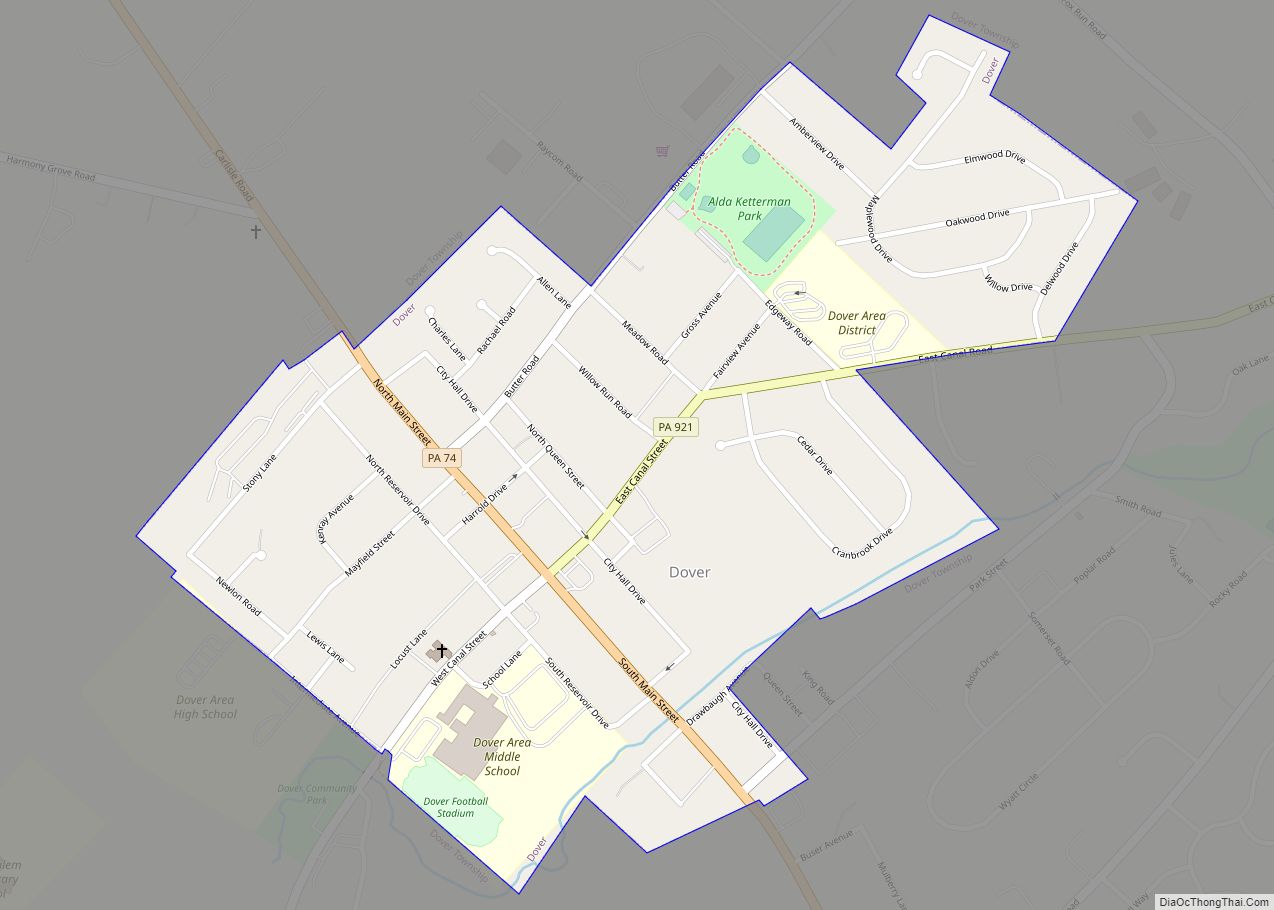
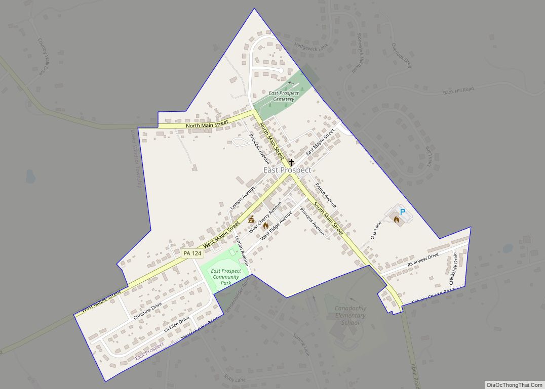
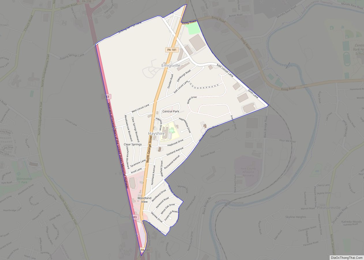
Online Interactive Map
Click on ![]() to view map in "full screen" mode.
to view map in "full screen" mode.
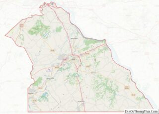
Delta location map. Where is Delta borough?
History
Delta is at the heart of the Peach Bottom Slate Region. Slate quarries opened in Delta in the 1840s, as quarrymen arrived from Wales. At the Crystal Palace Exposition of 1850, Peach Bottom slate was judged the finest in the world. Most of Delta’s houses still have slate roofs, and remnants of the original blue-black slate sidewalks still exist throughout the borough.
The Peach Bottom Railway entered Delta in 1876, and shipped slate along its line to Red Lion and York, Pennsylvania. From the south, the Maryland Central Railroad reached Delta in 1883 and began operating trains from Delta to Bel Air, Maryland and Baltimore in 1884. Both lines were later succeeded by the Maryland and Pennsylvania Railroad, which operated until 1978. The slate quarry was a major freight customer until 1971, when Delta’s Funkhouser Quarry closed.
The Rehoboth Welsh Chapel in Delta is a non-denominational Christian church that holds services in Welsh and English. Its Welsh choir has won a prize at the highly competitive National Eisteddfod of Wales and performed at the wedding of Michael Douglas and Catherine Zeta Jones.
The Delta Historic District was listed on the National Register of Historic Places in 1983.
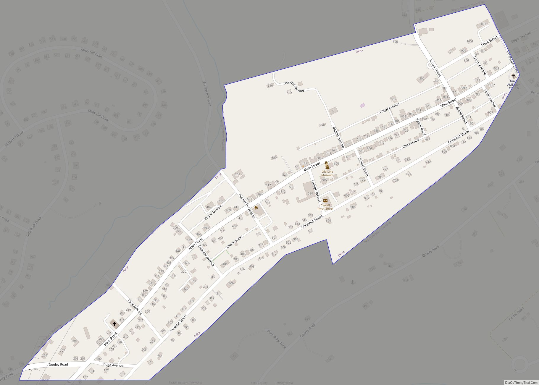
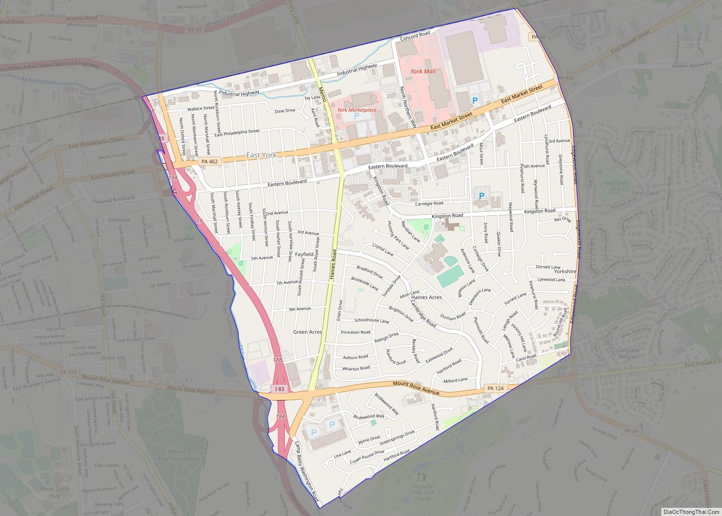
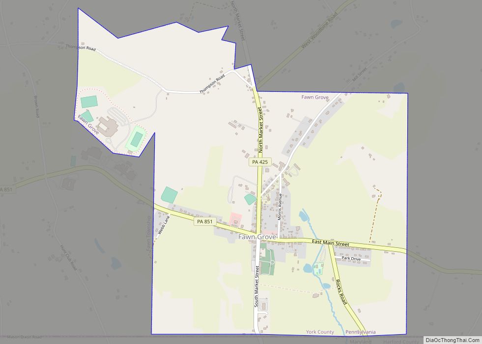
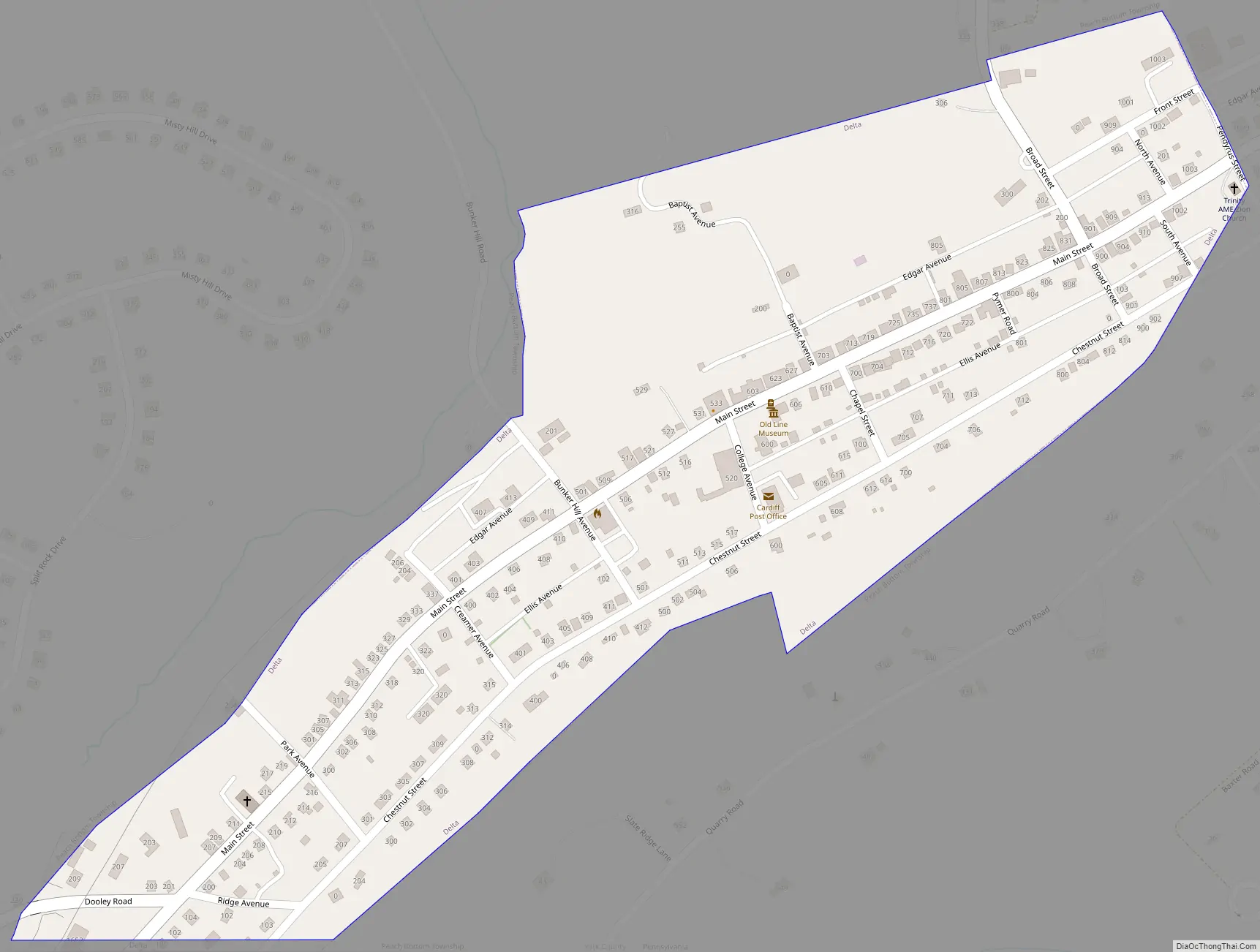
Delta Road Map
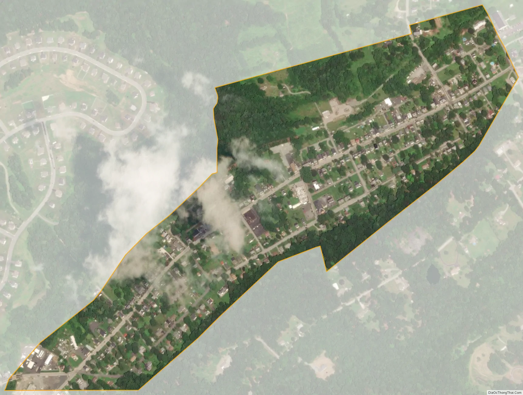
Delta city Satellite Map
Geography
Delta is located at 39°43′38″N 76°19′32″W / 39.72722°N 76.32556°W / 39.72722; -76.32556 (39.727207, -76.325668).
According to the United States Census Bureau, the borough has a total area of 0.3 square miles (0.78 km), all land.
See also
Map of Pennsylvania State and its subdivision:- Adams
- Allegheny
- Armstrong
- Beaver
- Bedford
- Berks
- Blair
- Bradford
- Bucks
- Butler
- Cambria
- Cameron
- Carbon
- Centre
- Chester
- Clarion
- Clearfield
- Clinton
- Columbia
- Crawford
- Cumberland
- Dauphin
- Delaware
- Elk
- Erie
- Fayette
- Forest
- Franklin
- Fulton
- Greene
- Huntingdon
- Indiana
- Jefferson
- Juniata
- Lackawanna
- Lancaster
- Lawrence
- Lebanon
- Lehigh
- Luzerne
- Lycoming
- Mc Kean
- Mercer
- Mifflin
- Monroe
- Montgomery
- Montour
- Northampton
- Northumberland
- Perry
- Philadelphia
- Pike
- Potter
- Schuylkill
- Snyder
- Somerset
- Sullivan
- Susquehanna
- Tioga
- Union
- Venango
- Warren
- Washington
- Wayne
- Westmoreland
- Wyoming
- York
- Alabama
- Alaska
- Arizona
- Arkansas
- California
- Colorado
- Connecticut
- Delaware
- District of Columbia
- Florida
- Georgia
- Hawaii
- Idaho
- Illinois
- Indiana
- Iowa
- Kansas
- Kentucky
- Louisiana
- Maine
- Maryland
- Massachusetts
- Michigan
- Minnesota
- Mississippi
- Missouri
- Montana
- Nebraska
- Nevada
- New Hampshire
- New Jersey
- New Mexico
- New York
- North Carolina
- North Dakota
- Ohio
- Oklahoma
- Oregon
- Pennsylvania
- Rhode Island
- South Carolina
- South Dakota
- Tennessee
- Texas
- Utah
- Vermont
- Virginia
- Washington
- West Virginia
- Wisconsin
- Wyoming