Dickson City is a borough in Lackawanna County, Pennsylvania, 4 miles (6 km) north of Scranton. Coal mining was an important industry in the past. The borough’s population peaked at 12,395 in 1930 and was 6,051 at the 2020 census.
| Name: | Dickson City borough |
|---|---|
| LSAD Code: | 21 |
| LSAD Description: | borough (suffix) |
| State: | Pennsylvania |
| County: | Lackawanna County |
| Founded: | unknown date, probably c. 1863? |
| Elevation: | 827 ft (252 m) |
| Total Area: | 4.79 sq mi (12.42 km²) |
| Land Area: | 4.79 sq mi (12.42 km²) |
| Water Area: | 0.00 sq mi (0.00 km²) |
| Total Population: | 6,038 |
| Population Density: | 1,259.23/sq mi (486.15/km²) |
| Area code: | 570/272 |
| FIPS code: | 4219160 |
| Website: | dicksoncityborough.org |
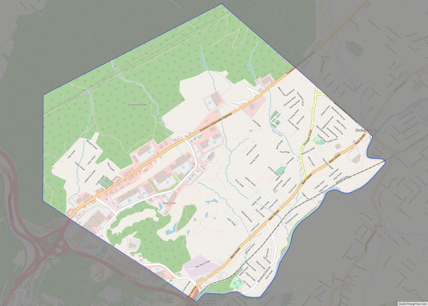
Online Interactive Map
Click on ![]() to view map in "full screen" mode.
to view map in "full screen" mode.
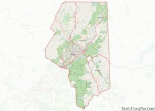
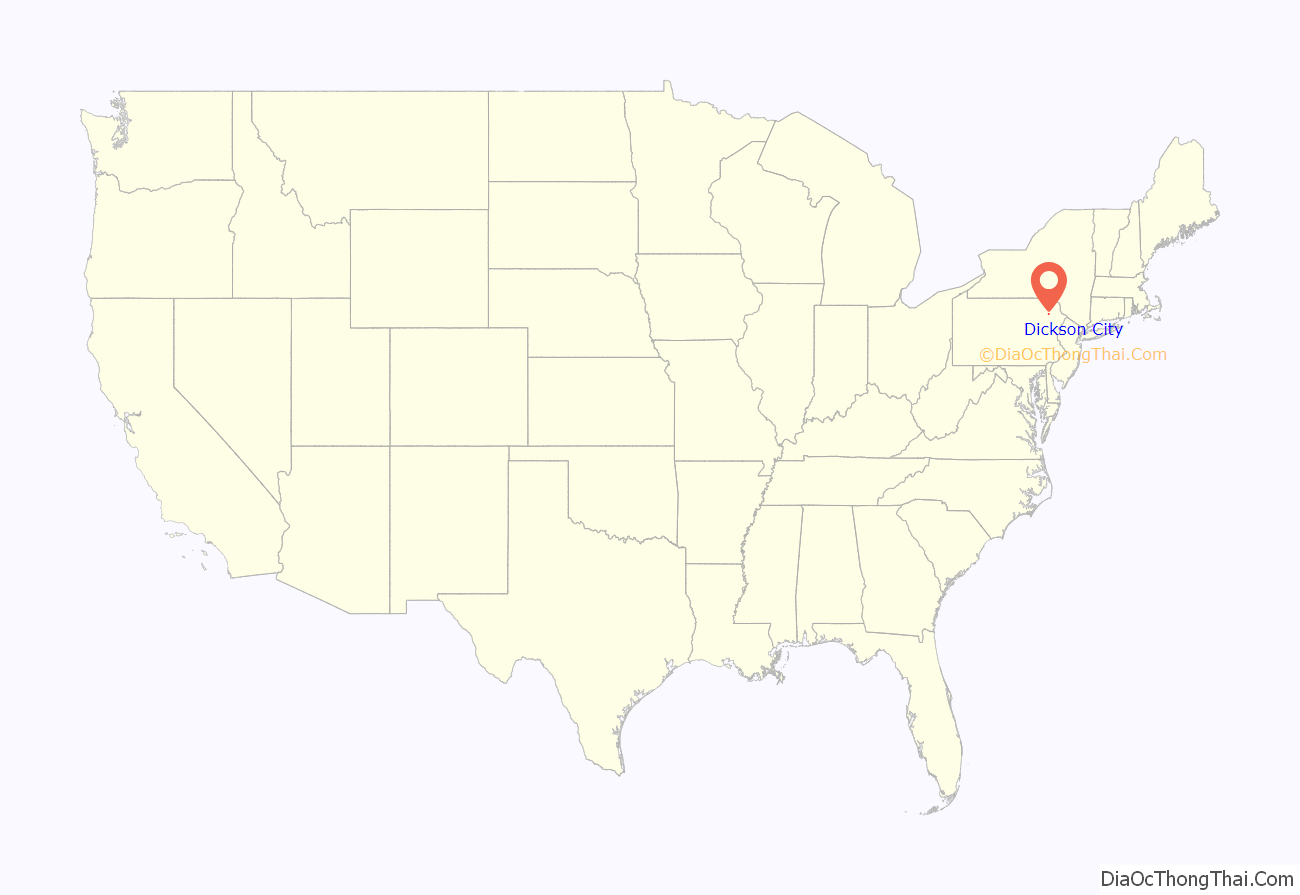
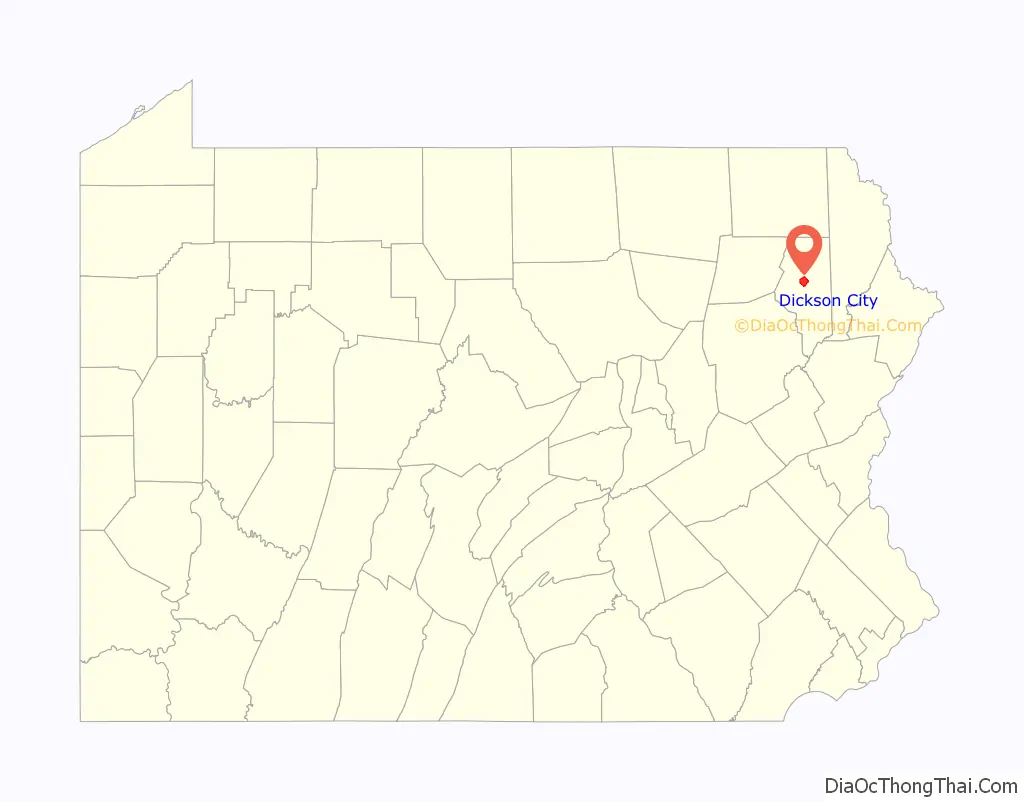
Dickson City location map. Where is Dickson City borough?
History
Dickson City was once known as Priceburg. It was the newest village in the valley and one of the most progressive. German immigrants then founded the village of Priceville in 1863, in honor of Eli Price. This section of the town developed rapidly after 1880, when John Jermyn sank the shaft which is now known as the Johnson shaft. Here the population had grown from 329 to 841.
In June 1875, Dickson City was incorporated as a borough, including at the time all of the present borough of Throop. Dickson City received its name from Thomas Dickson, founder of the Dickson Manufacturing Company.
Once dominated by coal mines, this borough has in recent times become the center of a thriving retail corridor focused along Business Route 6 and around the Viewmont Mall. Many of the nation’s big-box stores and chain restaurants are represented here.
Most of the newer retail complexes are located along Viewmont Drive and Commerce Boulevard, both built by developers to access the borough’s vast dormant coal lands. Some of the centers that were built in the 1990s and early 2000s include Dickson City Crossings, Dickson City Commons, Park Center and Commerce Plaza. A Target center, Adventure Games (the largest gaming shop in northeastern Pennsylvania), a Great Escape IMAX Movie Theatre, and the only Books a Million book store in the area are located at these shopping centers. The borough also boasts northeastern Pennsylvania’s first Starbucks location.
After Route 6 (also named the Scranton/Carbondale Highway), Main Street serves as the borough’s other major thoroughfare. It features a slightly older stock of stores, bars, professional offices and homes.
One point of major contention in the borough has been a 240-acre (0.97 km) swath of reclaimed coal-mining land south of Commerce Boulevard that was deeded to the borough for public use after the state government cleaned it up. Plans to build a bond-financed municipal golf course on the land launched during the early 2000s were scuttled after some borough council members campaigned against that form of borrowing and won the majority of seats. The land was seized by a local bank after interim loans went unpaid, but because the state stipulated that it has to remain in the hands of a municipality, neighboring borough Dunmore snapped it up.
The borough was briefly mentioned in two episodes of NBC’s sitcom, The Office, set in nearby Scranton. In the episode, entitled “Take Your Daughter to Work Day”, the character, Michael, asks Ryan to retrieve a particular video from his mom’s house “in Dickson City”. And in the episode, entitled “Product Recall”, the character Oscar Martinez speaks with a client over the phone, mentioning Dickson City.
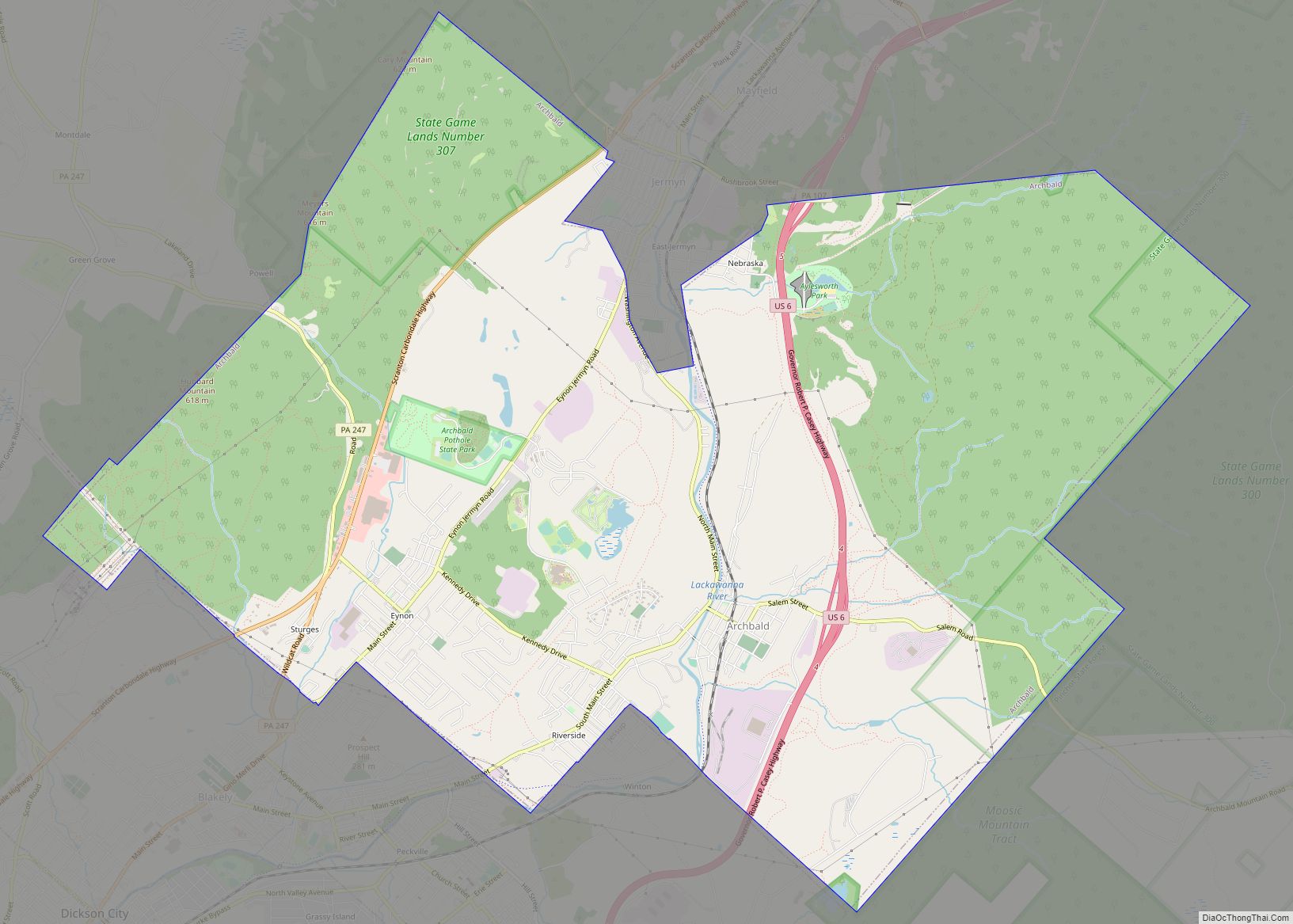
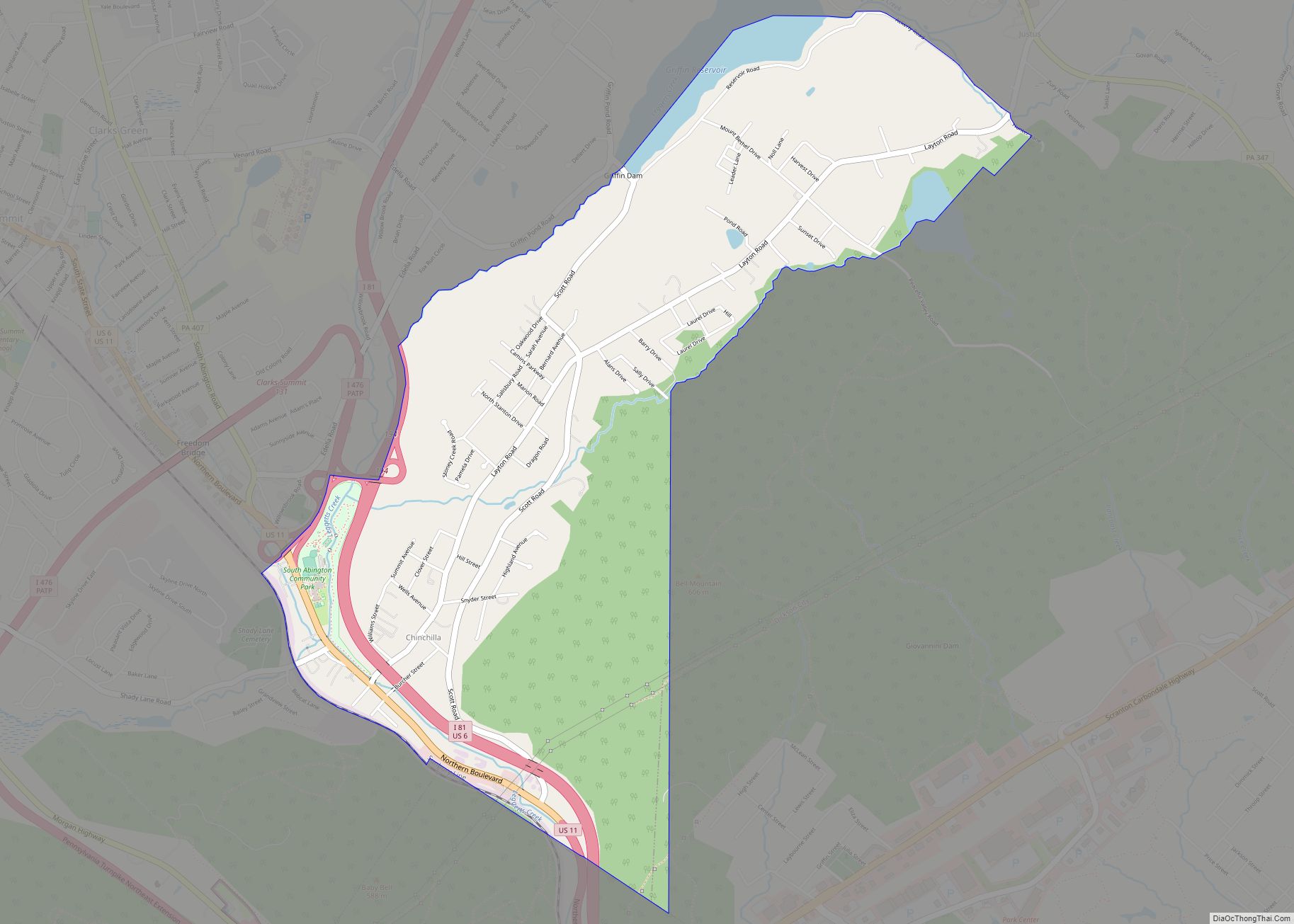
Dickson City Road Map
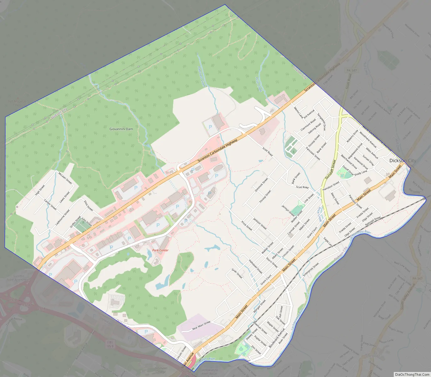
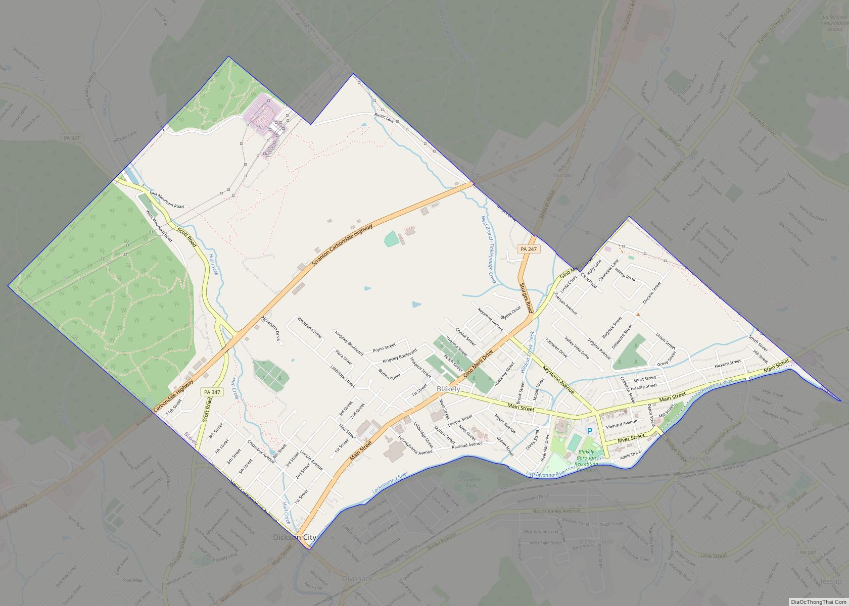
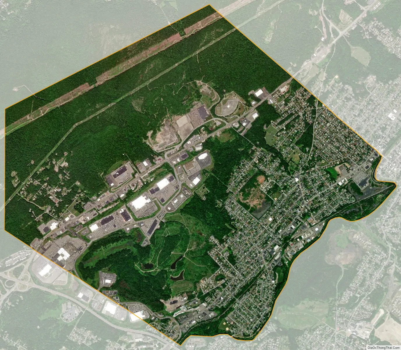
Dickson City city Satellite Map
Geography
Dickson City is located at 41°27′58″N 75°37′31″W / 41.46611°N 75.62528°W / 41.46611; -75.62528 (41.465984, -75.625401). According to the United States Census Bureau, the borough has a total area of 4.8 square miles (12 km), all land.
Interstate 81 has two commercially-important exits in Dickson City—one with Main Avenue and one with the old 6 (the Scranton-Carbondale Highway.) The Viewmont Mall is in both Dickson City and Scranton. The geographic location of the center of business dictates the revenue, according to Pennsylvania tax law.
See also
Map of Pennsylvania State and its subdivision:- Adams
- Allegheny
- Armstrong
- Beaver
- Bedford
- Berks
- Blair
- Bradford
- Bucks
- Butler
- Cambria
- Cameron
- Carbon
- Centre
- Chester
- Clarion
- Clearfield
- Clinton
- Columbia
- Crawford
- Cumberland
- Dauphin
- Delaware
- Elk
- Erie
- Fayette
- Forest
- Franklin
- Fulton
- Greene
- Huntingdon
- Indiana
- Jefferson
- Juniata
- Lackawanna
- Lancaster
- Lawrence
- Lebanon
- Lehigh
- Luzerne
- Lycoming
- Mc Kean
- Mercer
- Mifflin
- Monroe
- Montgomery
- Montour
- Northampton
- Northumberland
- Perry
- Philadelphia
- Pike
- Potter
- Schuylkill
- Snyder
- Somerset
- Sullivan
- Susquehanna
- Tioga
- Union
- Venango
- Warren
- Washington
- Wayne
- Westmoreland
- Wyoming
- York
- Alabama
- Alaska
- Arizona
- Arkansas
- California
- Colorado
- Connecticut
- Delaware
- District of Columbia
- Florida
- Georgia
- Hawaii
- Idaho
- Illinois
- Indiana
- Iowa
- Kansas
- Kentucky
- Louisiana
- Maine
- Maryland
- Massachusetts
- Michigan
- Minnesota
- Mississippi
- Missouri
- Montana
- Nebraska
- Nevada
- New Hampshire
- New Jersey
- New Mexico
- New York
- North Carolina
- North Dakota
- Ohio
- Oklahoma
- Oregon
- Pennsylvania
- Rhode Island
- South Carolina
- South Dakota
- Tennessee
- Texas
- Utah
- Vermont
- Virginia
- Washington
- West Virginia
- Wisconsin
- Wyoming