Douglassville is a census-designated place (CDP) in Amity Township in Berks County, Pennsylvania, United States. Douglassville is situated along U.S. Route 422 and Pennsylvania Route 724. Developments include the Amity Gardens subdivision, the West Ridge subdivision, the Briarwood subdivision, and the High Meadow subdivision. Douglassville also includes Cider Mill and the Woods Edge subdivision along Pennsylvania Route 562. As of the 2010 census, the population of the CDP was 448 residents.
| Name: | Douglassville CDP |
|---|---|
| LSAD Code: | 57 |
| LSAD Description: | CDP (suffix) |
| State: | Pennsylvania |
| County: | Berks County |
| Elevation: | 194 ft (59 m) |
| Total Area: | 0.70 sq mi (1.81 km²) |
| Land Area: | 0.65 sq mi (1.67 km²) |
| Water Area: | 0.05 sq mi (0.14 km²) |
| Total Population: | 518 |
| Population Density: | 803.10/sq mi (309.90/km²) |
| ZIP code: | 19518 |
| Area code: | 610 and 484 |
| FIPS code: | 4219680 |
| GNISfeature ID: | 1173428 |
Online Interactive Map
Click on ![]() to view map in "full screen" mode.
to view map in "full screen" mode.
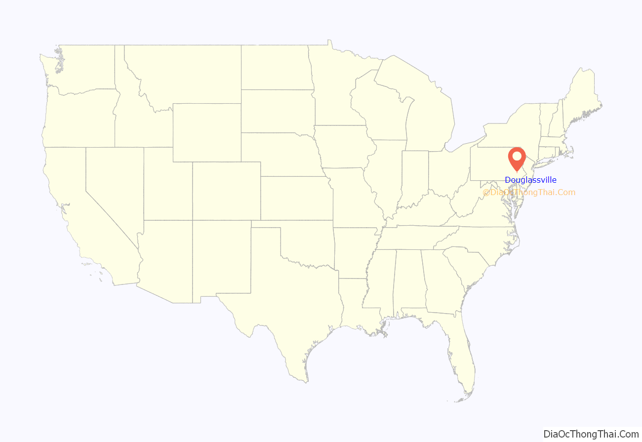
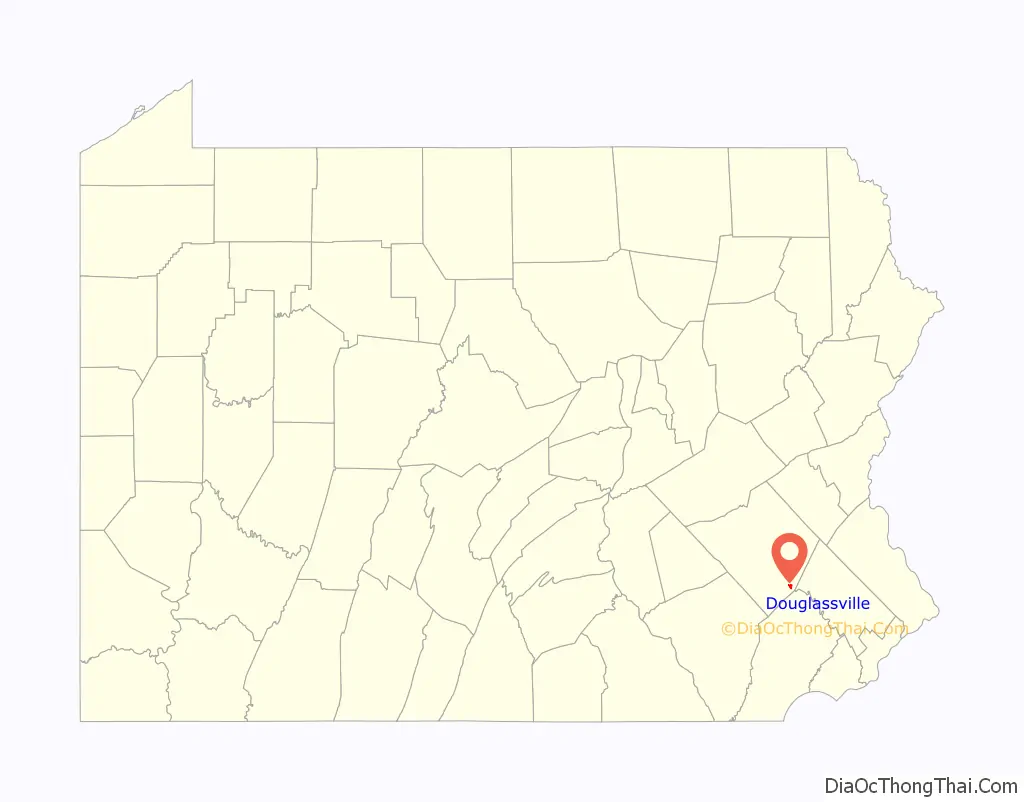
Douglassville location map. Where is Douglassville CDP?
History
Swedish pioneers were the first European settlers in present Berks County on land granted by William Penn. Swedish Lutheran Minister Andreas Rudman secured an order from William Penn on October 21, 1701 setting aside 10,000 acres (40 km) up the Schuylkill, near Manatawny Creek, for members of his congregation. The boundaries of Amity Township are almost identical to the boundaries of the original area known as Swedes’ tract. Morlatton Village, an early settlement which became part of what is now Douglassville, was Berks County’s first settlement site along the Schuylkill River. The settlement later became the location of Old St. Gabriel’s Episcopal Church or Old Swedes, founded in 1720 as the oldest church in Berks County. The site also included the Mouns Jones House, built by Swedish settlers in 1716. The house is the oldest documented dwelling in Berks County.
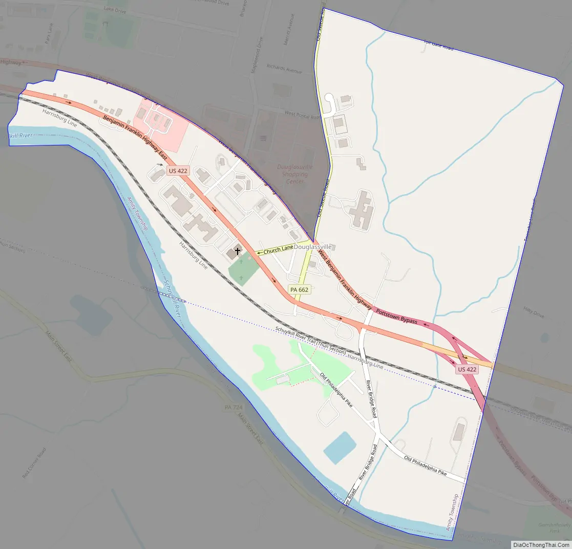
Douglassville Road Map
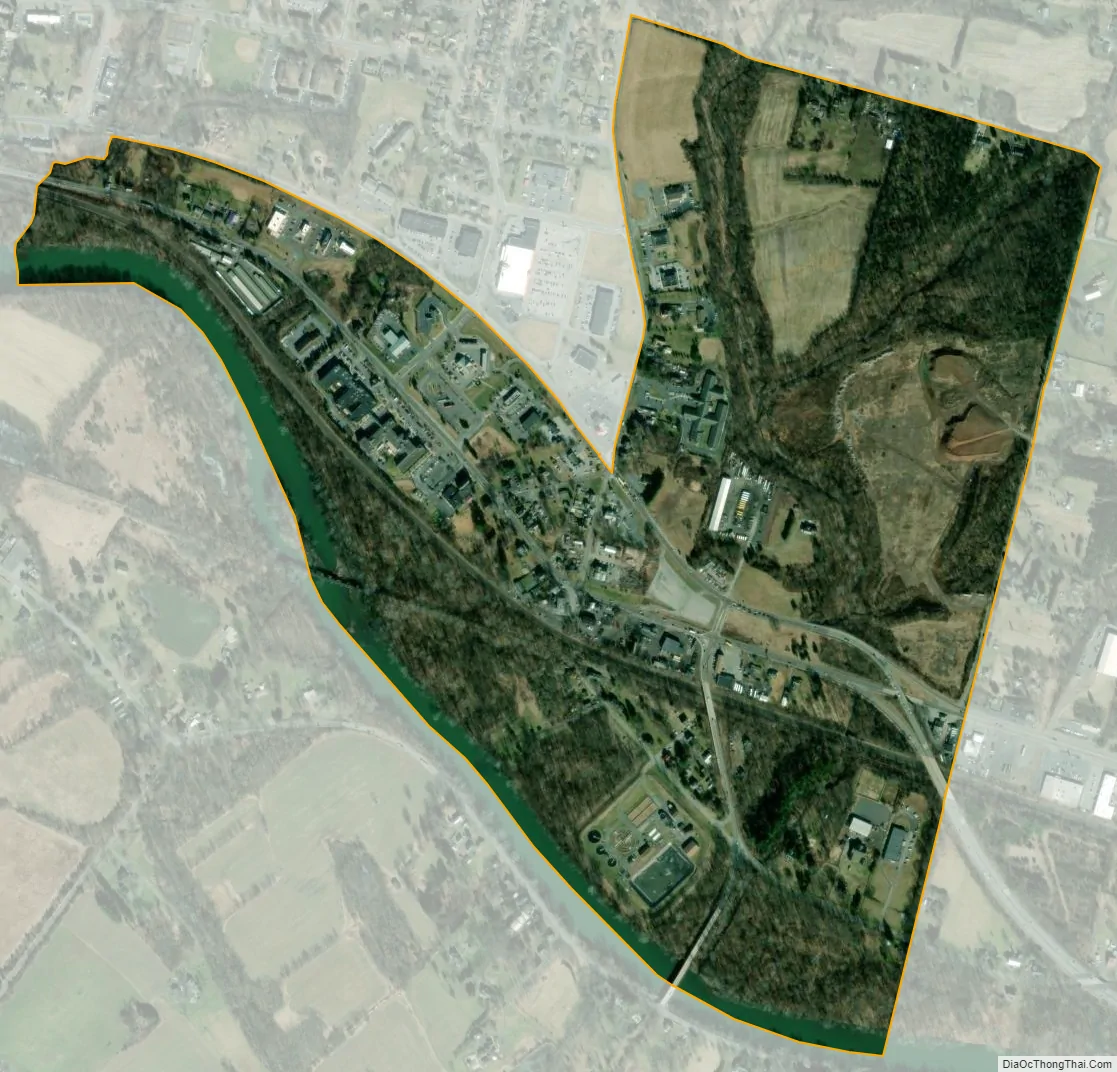
Douglassville city Satellite Map
Geography
Douglassville is located on the Schuylkill River and mainly upon its left bank. The CDP has a hot-summer humid continental climate (Dfa) and average monthly temperatures range from 30.7 °F in January to 75.5 °F in July. [1] The hardiness zone is 7a bordering upon 6b. [2] Archived July 4, 2019, at the Wayback Machine
See also
Map of Pennsylvania State and its subdivision:- Adams
- Allegheny
- Armstrong
- Beaver
- Bedford
- Berks
- Blair
- Bradford
- Bucks
- Butler
- Cambria
- Cameron
- Carbon
- Centre
- Chester
- Clarion
- Clearfield
- Clinton
- Columbia
- Crawford
- Cumberland
- Dauphin
- Delaware
- Elk
- Erie
- Fayette
- Forest
- Franklin
- Fulton
- Greene
- Huntingdon
- Indiana
- Jefferson
- Juniata
- Lackawanna
- Lancaster
- Lawrence
- Lebanon
- Lehigh
- Luzerne
- Lycoming
- Mc Kean
- Mercer
- Mifflin
- Monroe
- Montgomery
- Montour
- Northampton
- Northumberland
- Perry
- Philadelphia
- Pike
- Potter
- Schuylkill
- Snyder
- Somerset
- Sullivan
- Susquehanna
- Tioga
- Union
- Venango
- Warren
- Washington
- Wayne
- Westmoreland
- Wyoming
- York
- Alabama
- Alaska
- Arizona
- Arkansas
- California
- Colorado
- Connecticut
- Delaware
- District of Columbia
- Florida
- Georgia
- Hawaii
- Idaho
- Illinois
- Indiana
- Iowa
- Kansas
- Kentucky
- Louisiana
- Maine
- Maryland
- Massachusetts
- Michigan
- Minnesota
- Mississippi
- Missouri
- Montana
- Nebraska
- Nevada
- New Hampshire
- New Jersey
- New Mexico
- New York
- North Carolina
- North Dakota
- Ohio
- Oklahoma
- Oregon
- Pennsylvania
- Rhode Island
- South Carolina
- South Dakota
- Tennessee
- Texas
- Utah
- Vermont
- Virginia
- Washington
- West Virginia
- Wisconsin
- Wyoming


