Dunbar is a borough in Fayette County, Pennsylvania, United States. The population was 1,013 at the time of the 2020 census, a decline from the figure of 1,042 tabulated in 2010.
| Name: | Dunbar borough |
|---|---|
| LSAD Code: | 21 |
| LSAD Description: | borough (suffix) |
| State: | Pennsylvania |
| County: | Fayette County |
| Total Area: | 0.58 sq mi (1.50 km²) |
| Land Area: | 0.58 sq mi (1.50 km²) |
| Water Area: | 0.00 sq mi (0.00 km²) |
| Total Population: | 1,013 |
| Population Density: | 1,752.60/sq mi (676.95/km²) |
| Area code: | 724 |
| FIPS code: | 4220216 |
Online Interactive Map
Click on ![]() to view map in "full screen" mode.
to view map in "full screen" mode.
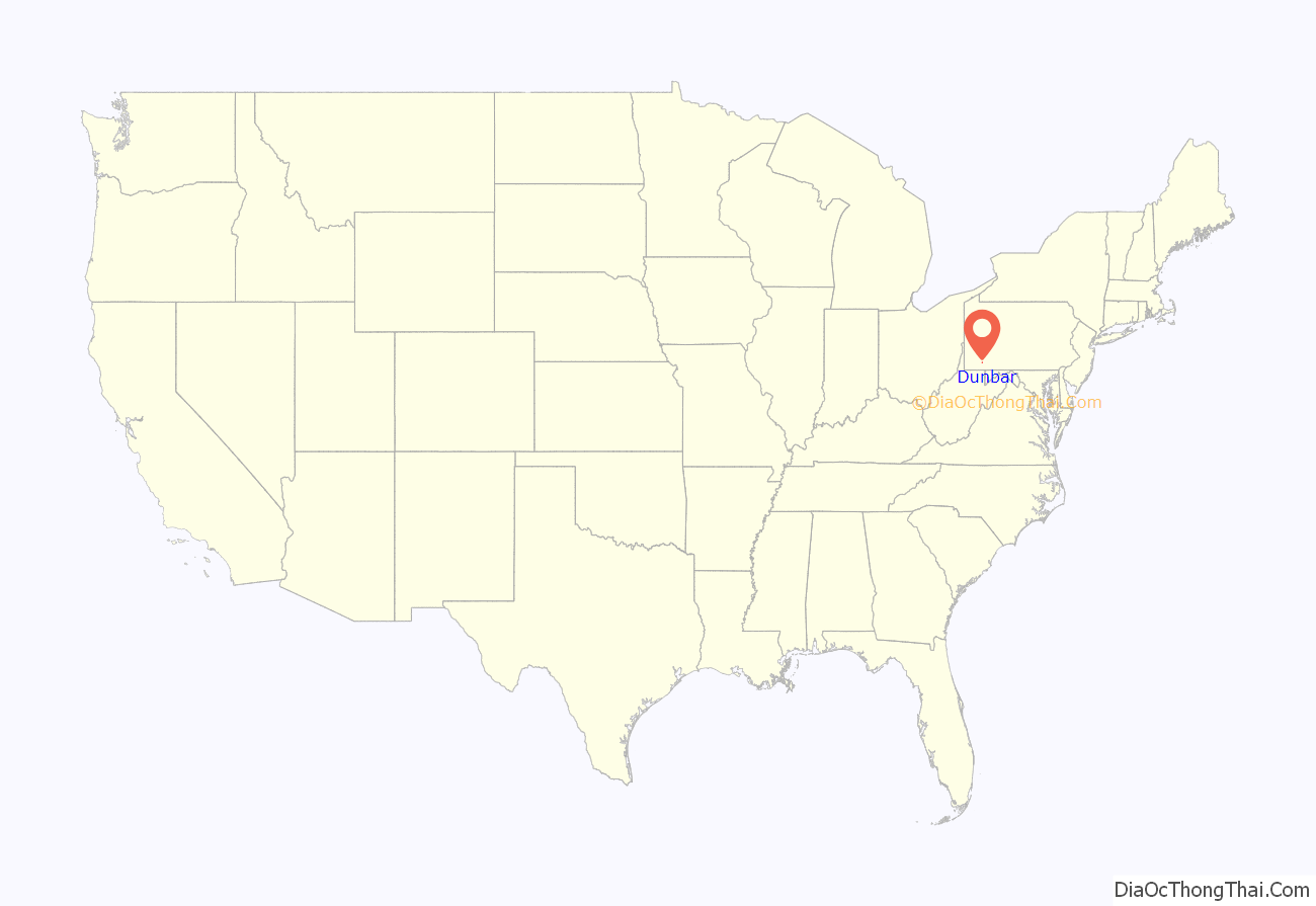
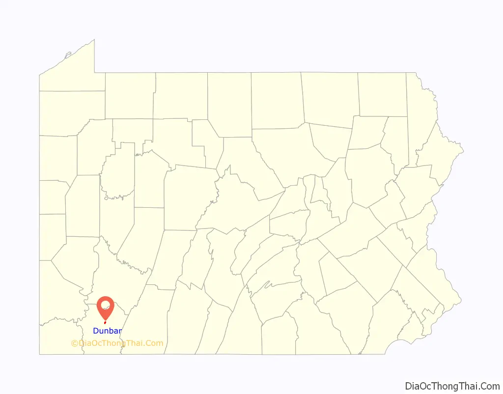
Dunbar location map. Where is Dunbar borough?
History
Dunbar is named for Col. Thomas Dunbar, who commanded an English force at nearby Jumonville and retreated to Philadelphia after Braddock was defeated by the French and Indians.
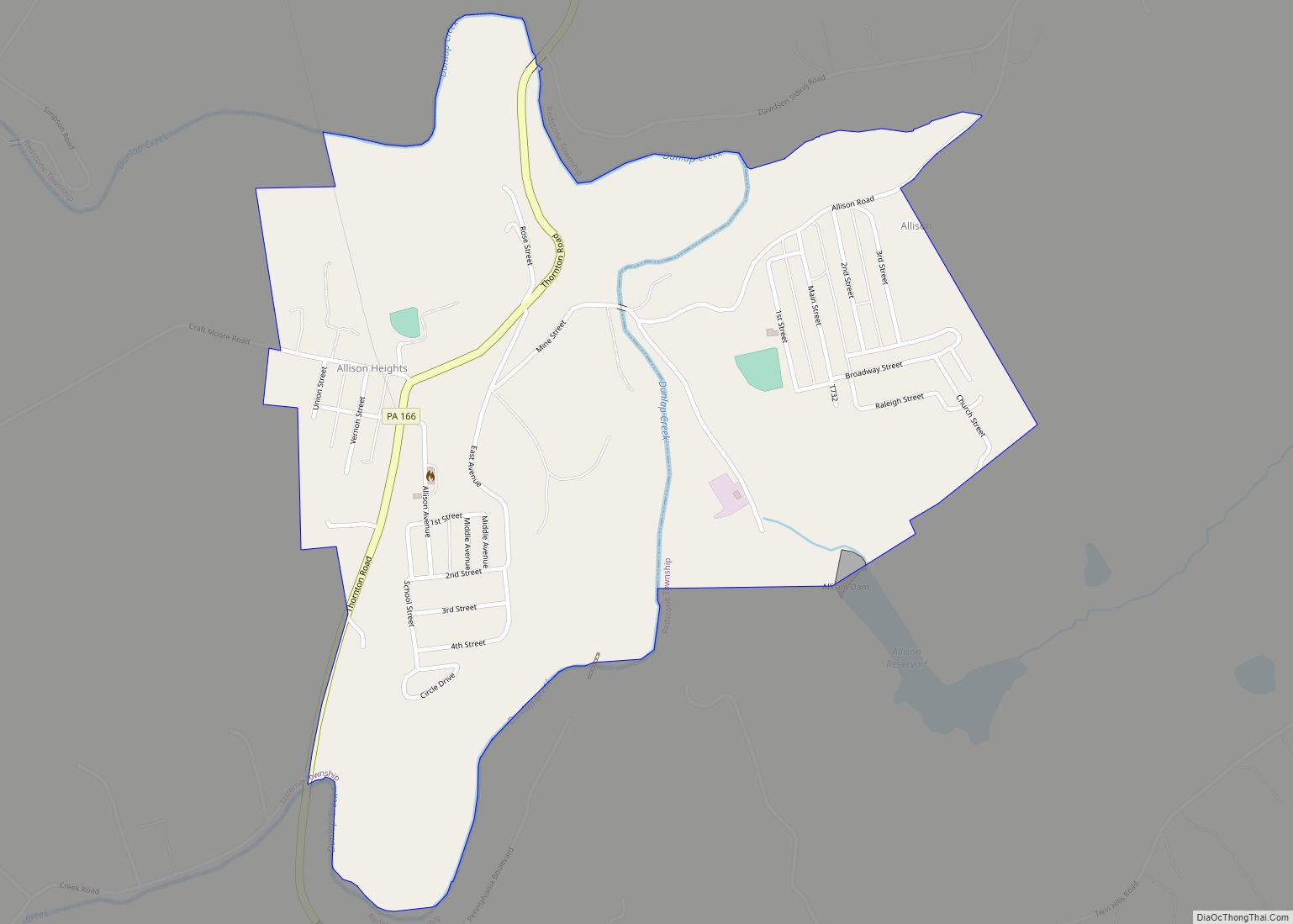
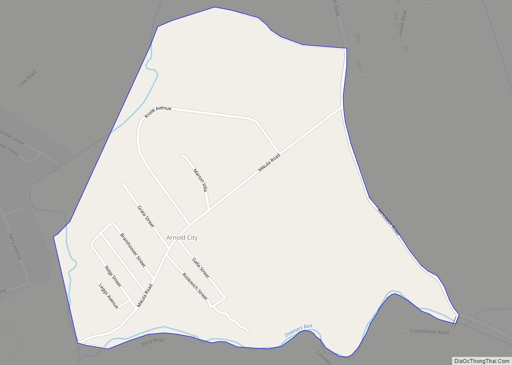
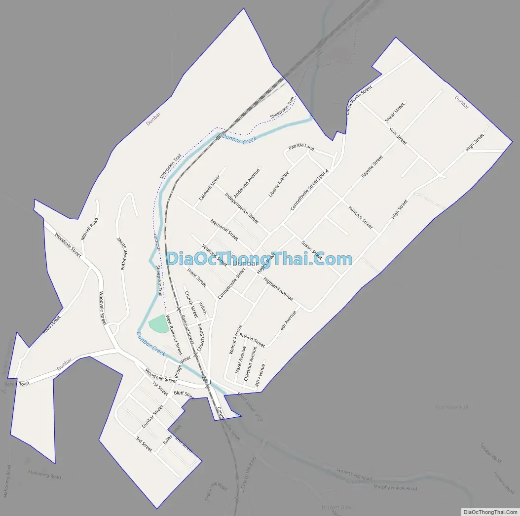
Dunbar Road Map
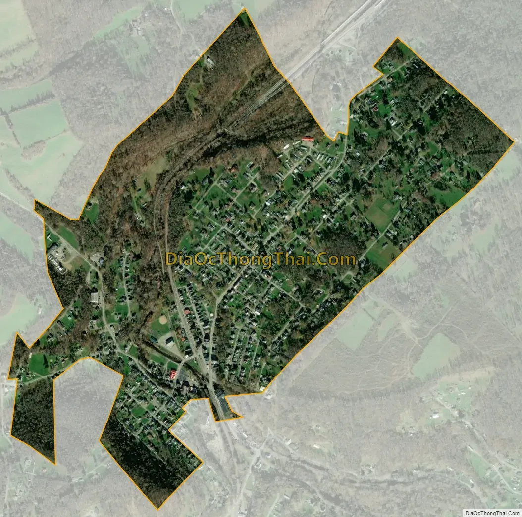
Dunbar city Satellite Map
Geography
Dunbar is located in north-central Fayette County at 39°58′36″N 79°36′53″W / 39.97667°N 79.61472°W / 39.97667; -79.61472, in the valley of Dunbar Creek, a tributary of the Youghiogheny River. It is 5 miles (8 km) south of Connellsville via Woodvale Street and U.S. Route 119. Uniontown, the county seat, is 8 miles (13 km) to the southwest.
According to the United States Census Bureau, Dunbar has a total area of 0.606638 square miles (1.571185 km), all land.
See also
Map of Pennsylvania State and its subdivision:- Adams
- Allegheny
- Armstrong
- Beaver
- Bedford
- Berks
- Blair
- Bradford
- Bucks
- Butler
- Cambria
- Cameron
- Carbon
- Centre
- Chester
- Clarion
- Clearfield
- Clinton
- Columbia
- Crawford
- Cumberland
- Dauphin
- Delaware
- Elk
- Erie
- Fayette
- Forest
- Franklin
- Fulton
- Greene
- Huntingdon
- Indiana
- Jefferson
- Juniata
- Lackawanna
- Lancaster
- Lawrence
- Lebanon
- Lehigh
- Luzerne
- Lycoming
- Mc Kean
- Mercer
- Mifflin
- Monroe
- Montgomery
- Montour
- Northampton
- Northumberland
- Perry
- Philadelphia
- Pike
- Potter
- Schuylkill
- Snyder
- Somerset
- Sullivan
- Susquehanna
- Tioga
- Union
- Venango
- Warren
- Washington
- Wayne
- Westmoreland
- Wyoming
- York
- Alabama
- Alaska
- Arizona
- Arkansas
- California
- Colorado
- Connecticut
- Delaware
- District of Columbia
- Florida
- Georgia
- Hawaii
- Idaho
- Illinois
- Indiana
- Iowa
- Kansas
- Kentucky
- Louisiana
- Maine
- Maryland
- Massachusetts
- Michigan
- Minnesota
- Mississippi
- Missouri
- Montana
- Nebraska
- Nevada
- New Hampshire
- New Jersey
- New Mexico
- New York
- North Carolina
- North Dakota
- Ohio
- Oklahoma
- Oregon
- Pennsylvania
- Rhode Island
- South Carolina
- South Dakota
- Tennessee
- Texas
- Utah
- Vermont
- Virginia
- Washington
- West Virginia
- Wisconsin
- Wyoming