Dunmore is a borough in Lackawanna County, Pennsylvania, United States, adjoining Scranton. It is part of Northeastern Pennsylvania and was settled in 1835 and incorporated in 1862. Extensive anthracite coal, brick, stone, and silk interests had led to a rapid increase in the population from 8,315 in 1890 to 23,086 in 1940. The population was 14,042 in the 2020 census.
| Name: | Dunmore borough |
|---|---|
| LSAD Code: | 21 |
| LSAD Description: | borough (suffix) |
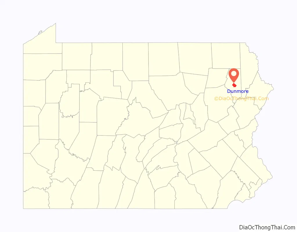
| State: | Pennsylvania |
| County: | Lackawanna County |
| Elevation: | 1,001 ft (305 m) |
| Total Area: | 8.99 sq mi (23.30 km²) |
| Land Area: | 8.92 sq mi (23.10 km²) |
| Water Area: | 0.08 sq mi (0.20 km²) |
| Total Population: | 14,042 |
| Population Density: | 1,574.57/sq mi (607.94/km²) |
| Area code: | 570 |
| FIPS code: | 4220352 |
| Website: | www.dunmorepa.gov |
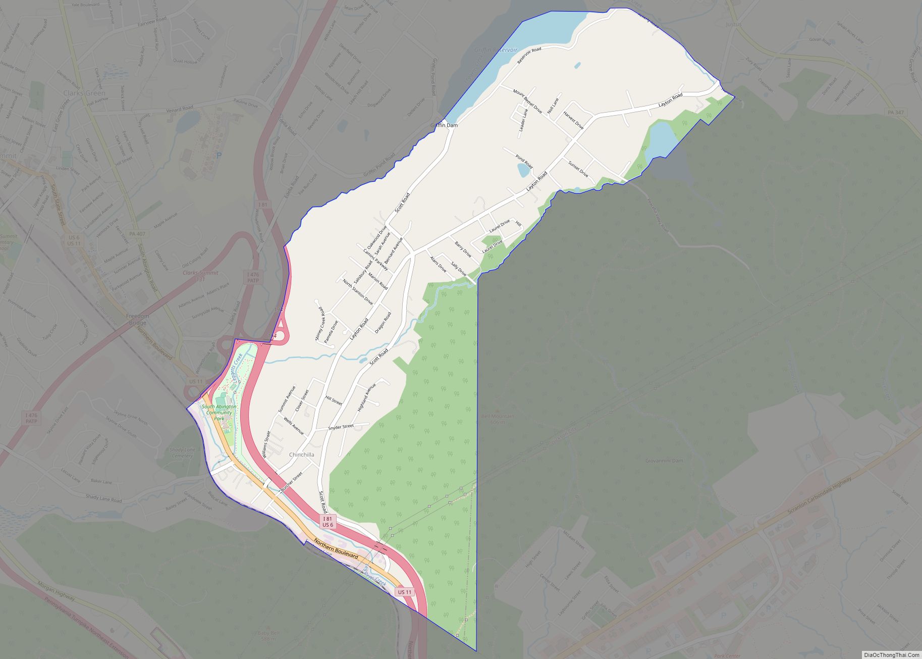
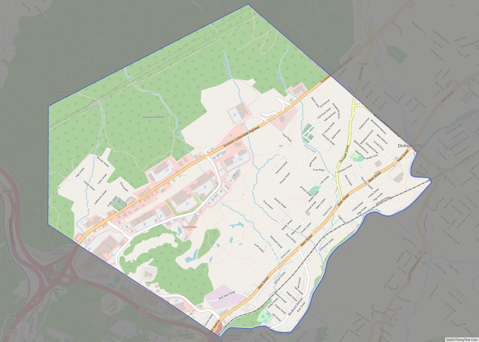
Online Interactive Map
Click on ![]() to view map in "full screen" mode.
to view map in "full screen" mode.
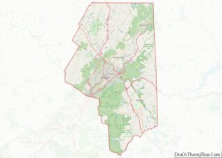
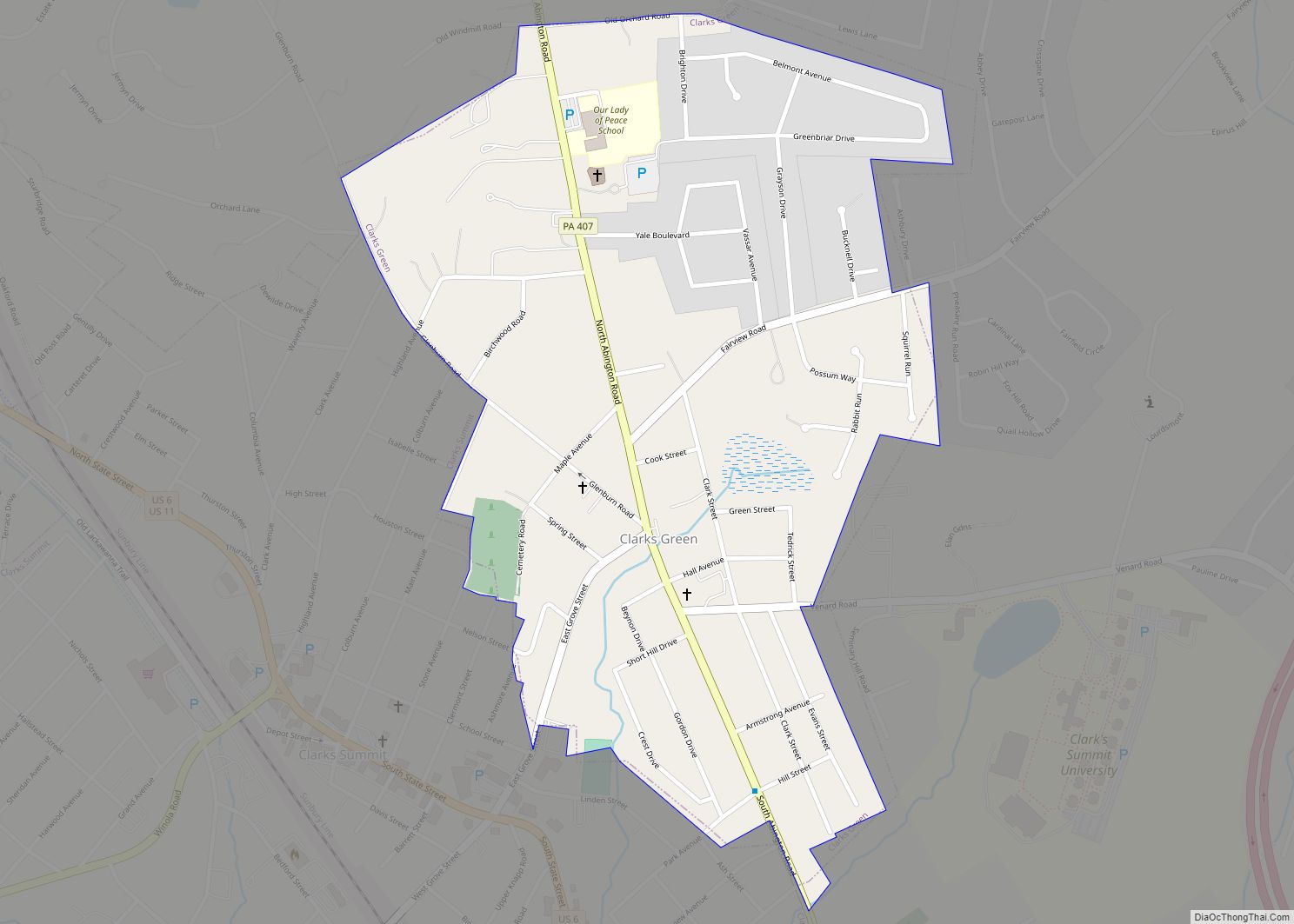
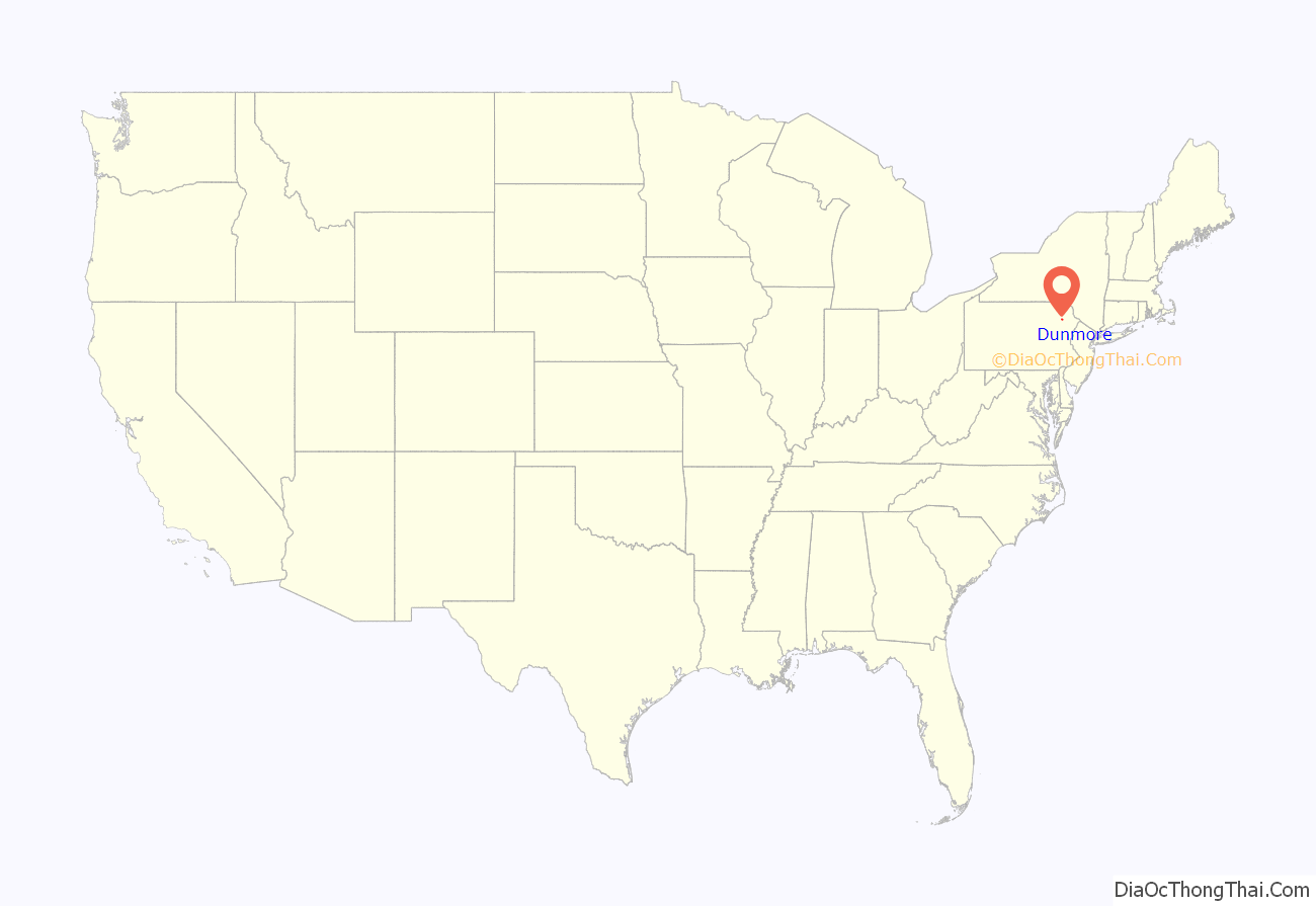
Dunmore location map. Where is Dunmore borough?
History
Dunmore was settled in 1835, and incorporated in 1862.
The first white person to set foot on Dunmore soil was Count Zinzendorf of Saxony, in 1742, as a missionary to the native people who were Munsee-speaking Delawares.
The territory now encompassing Dunmore was purchased from the natives in 1754 by the Susquehanna Company of Connecticut and became the township of Providence. The first settlers of the Dunmore area arrived in 1771 and were originally from Connecticut (see Pennamite–Yankee War). William Allsworth established an inn here in 1783. In the summer of 1795, Charles Dolph, John Carey, and John West began the labor of clearing and plowing lands in the neighborhood of “Bucktown” or “Corners”, as this area was called. Edward Lunnon, Isaac Dolph, James Brown, Philip Swartz and Levi De Puy, purchased land here between 1799–1805.
Stephen Tripp, in 1820, began the area’s first business, erecting a saw and grist mill on the Roaring Brook half a mile south of the village. That same year, the Drinker Turnpike Company opened a store at the Corners. Shortly after Joseph Tanner opened the first blacksmith shop. C.W. Potter opened the first merchandising house in the village in 1845.
The village, consisting of but four houses, had a negative existence until the Pennsylvania Coal Company, in 1847–1848, turned it into a growing and diverse town.
By 1875, the township of Providence was dissolved and the land split up into various smaller boroughs and towns with Dunmore being one of them. Today, Dunmore is a borough bordering the city of Scranton.
The name Dunmore comes from Dunmore Park, in the Falkirk area of Scotland (home of the Dunmore Pineapple).
Golo Footwear had its original manufacturing and design facilities in Dunmore until 1957.
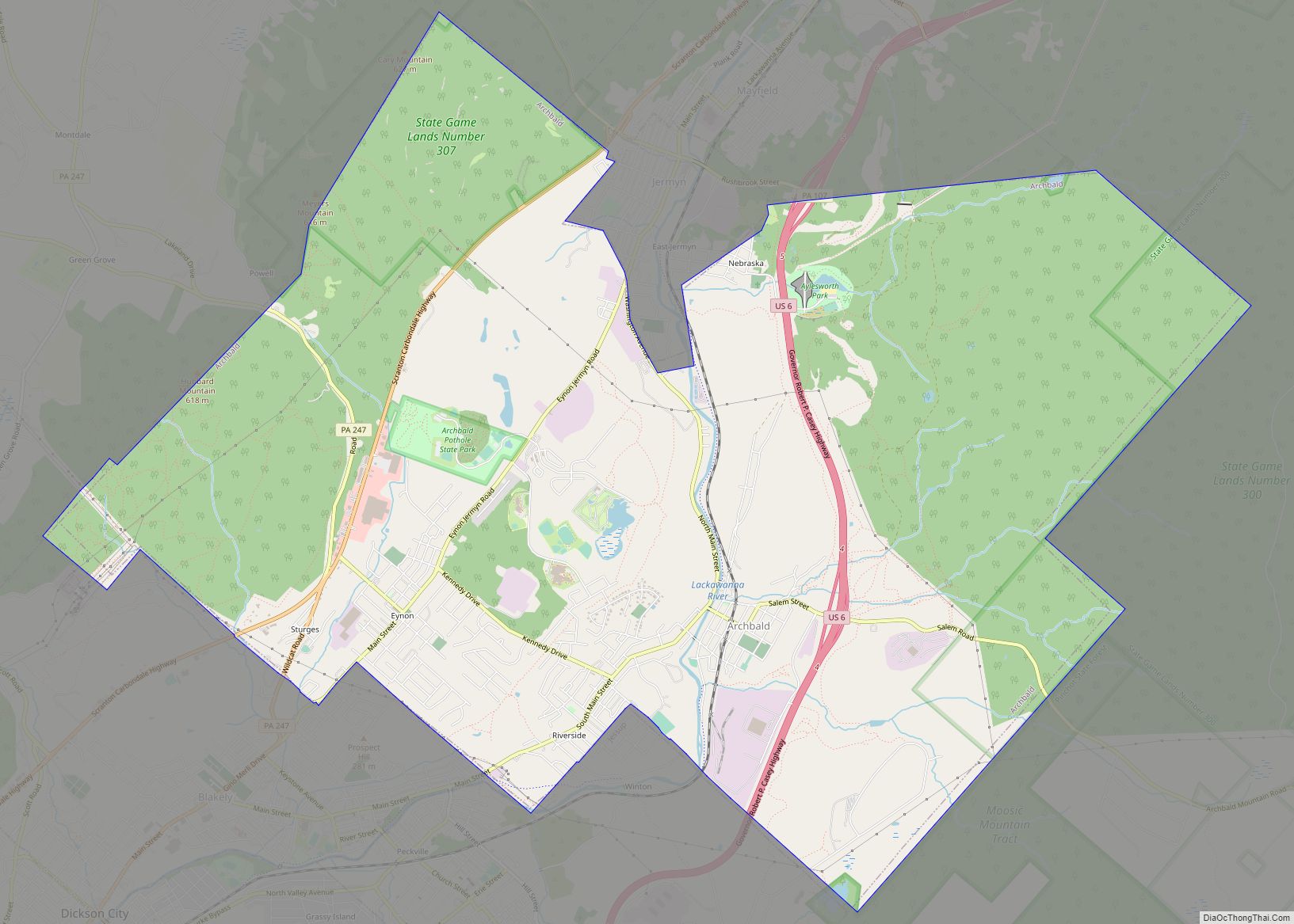
Dunmore Road Map
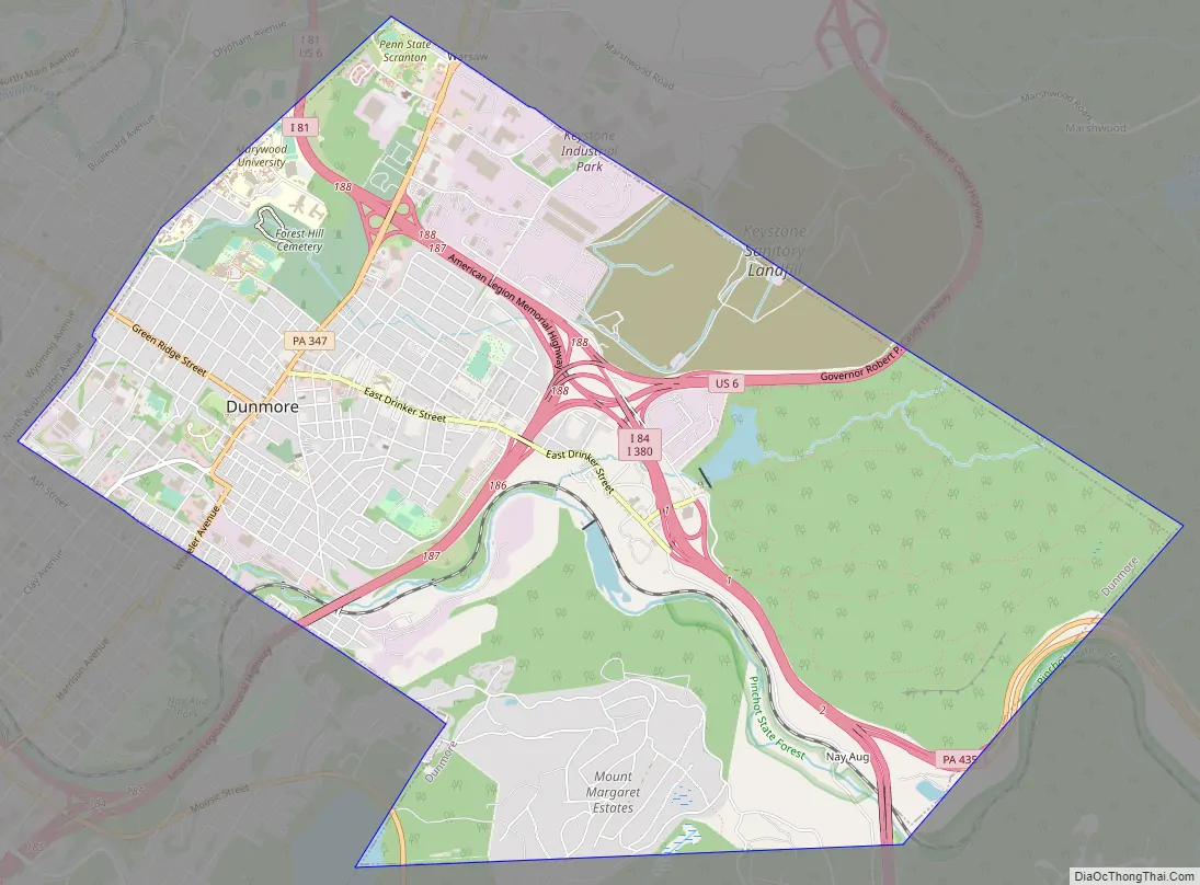
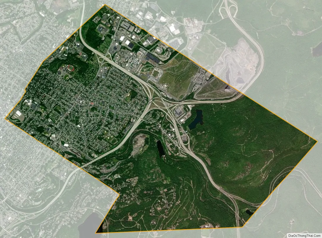
Dunmore city Satellite Map
Geography
Dunmore is located at 41°25′3″N 75°37′28″W / 41.41750°N 75.62444°W / 41.41750; -75.62444 (41.417530, −75.624432).
According to the United States Census Bureau, the borough has a total area of 9 square miles (23 km), of which 8.9 square miles (23 km) is land and 0.1 square miles (0.26 km) (1.11%) is water.
Roaring Brook flows from the southeast and turns west through the Nay Aug Gorge in Dunmore to the Lackawanna River in Scranton. Most of the borough is drained by Roaring Brook, except for an area in the west drained by Meadow Brook into the Lackawanna River. The southeastern side of the borough is on the slopes of the Moosic Mountains, which the gorge cuts through.
The Lackawanna Railroad operated through the Nay Aug Gorge into Scranton from the Poconos and Northern New Jersey.
See also
Map of Pennsylvania State and its subdivision:- Adams
- Allegheny
- Armstrong
- Beaver
- Bedford
- Berks
- Blair
- Bradford
- Bucks
- Butler
- Cambria
- Cameron
- Carbon
- Centre
- Chester
- Clarion
- Clearfield
- Clinton
- Columbia
- Crawford
- Cumberland
- Dauphin
- Delaware
- Elk
- Erie
- Fayette
- Forest
- Franklin
- Fulton
- Greene
- Huntingdon
- Indiana
- Jefferson
- Juniata
- Lackawanna
- Lancaster
- Lawrence
- Lebanon
- Lehigh
- Luzerne
- Lycoming
- Mc Kean
- Mercer
- Mifflin
- Monroe
- Montgomery
- Montour
- Northampton
- Northumberland
- Perry
- Philadelphia
- Pike
- Potter
- Schuylkill
- Snyder
- Somerset
- Sullivan
- Susquehanna
- Tioga
- Union
- Venango
- Warren
- Washington
- Wayne
- Westmoreland
- Wyoming
- York
- Alabama
- Alaska
- Arizona
- Arkansas
- California
- Colorado
- Connecticut
- Delaware
- District of Columbia
- Florida
- Georgia
- Hawaii
- Idaho
- Illinois
- Indiana
- Iowa
- Kansas
- Kentucky
- Louisiana
- Maine
- Maryland
- Massachusetts
- Michigan
- Minnesota
- Mississippi
- Missouri
- Montana
- Nebraska
- Nevada
- New Hampshire
- New Jersey
- New Mexico
- New York
- North Carolina
- North Dakota
- Ohio
- Oklahoma
- Oregon
- Pennsylvania
- Rhode Island
- South Carolina
- South Dakota
- Tennessee
- Texas
- Utah
- Vermont
- Virginia
- Washington
- West Virginia
- Wisconsin
- Wyoming