East York is a census-designated place (CDP) in York County, Pennsylvania, United States. The population was 8,777 at the 2010 census.
| Name: | East York CDP |
|---|---|
| LSAD Code: | 57 |
| LSAD Description: | CDP (suffix) |
| State: | Pennsylvania |
| County: | York County |
| Total Area: | 2.78 sq mi (7.20 km²) |
| Land Area: | 2.78 sq mi (7.20 km²) |
| Water Area: | 0.00 sq mi (0.00 km²) |
| Total Population: | 9,555 |
| Population Density: | 3,439.52/sq mi (1,327.99/km²) |
| ZIP code: | 17402 |
| Area code: | 717 |
| FIPS code: | 4222104 |
Online Interactive Map
Click on ![]() to view map in "full screen" mode.
to view map in "full screen" mode.
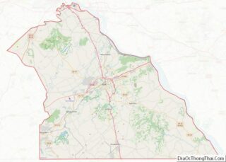
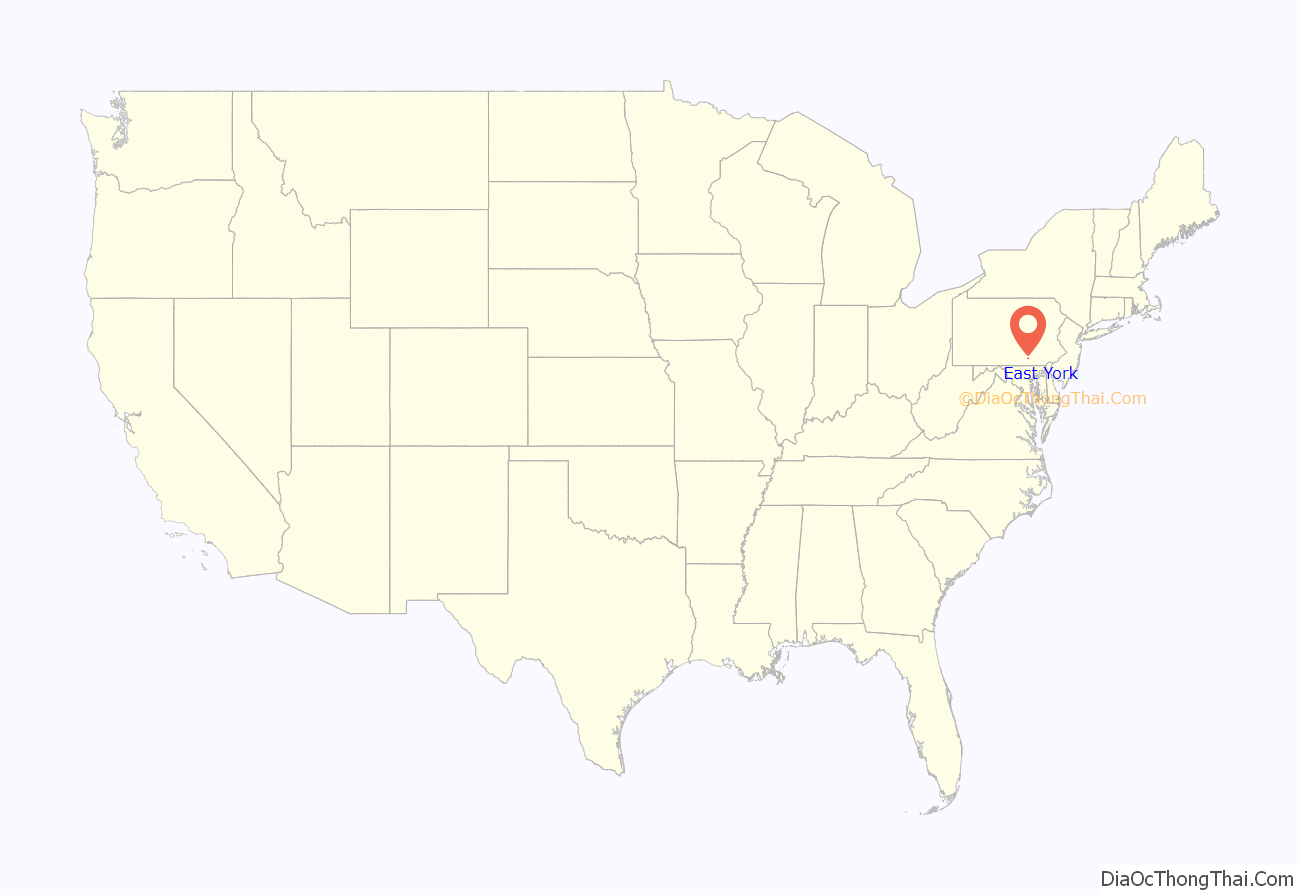
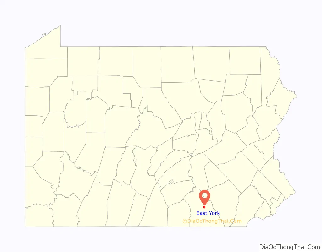
East York location map. Where is East York CDP?
History
The suburb of East York was developed in 1903 with the foresight that industrial expansion would attract a great increase in population. John H. Longstreet’s vision foresaw the pathway of expansion.
Many beautiful homes were soon built and more building lots awaited new owners.
Known to many as the Keesey Tract, the East York area was listed as “fronting, for two-thirds of a mile, on both sides of Market Street, York’s main thoroughfare, and part of the Great Lincoln Highway.” Only an eleven-minute ride from Center Square in York, it featured high ground with perfect natural drainage, cement walks and curbs, macadamized streets, pure filtered water, electric lights, and a complete sewer system.
The York Railways Company lines ran the entire length of Market Street through the center of the tract and to adjoining boroughs. For a single carfare, one could ride the entire length of Market Street.
The East York area offered its members all the privileges of an up-to-date club. Any resident could be member and enjoy its privileges, including dining services, games, lawn tennis, and the entire social advantages attendant thereto. The club’s privileges were also open to members’ families.
On East Market Street and nearby stood the area residences of George L. Stallman, Charles E. Tucker, Mahlon N. Haines, Congressman E.S. Brooks, Professor C.B. Heinly, Cleaver and Merrihew, William J. Gribben, E. P. Minnich, Dr. J.E. Barrick, and Sarah J. Mitzel.
The East York Historic District is listed on the National Register of Historic Places.
Hiestand School
In 1912, the John S. Hiestand School was built in the area on land donated by John S. Longstreet. This school was built in what was then the Independent School District. A graded school, managed by a progressive Board of Directors, its students were taught by competent teachers in all grades from first to eighth and prepared for entrance into York High School.
There, tuition was paid for by the Independent School District under an agreement with the city school board.
The first consideration in designing and erecting the building was the children’s welfare. The building was located in the center of ample playgrounds, had two classrooms, boys’ and girls’ cloakrooms, functional toilets, and large basement playrooms for use in bad weather. The school, where all students and residents could obtain free use of well-selected books, also maintained a public library.
The original two classrooms were doubled to four in 1927 and there were six rooms by 1937. The Hiestand School was closed in June 1978 for financial reasons and due to declining enrollment, and has been used subsequently by various community organizations.
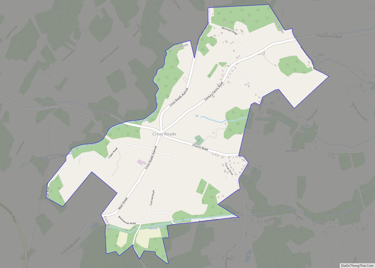
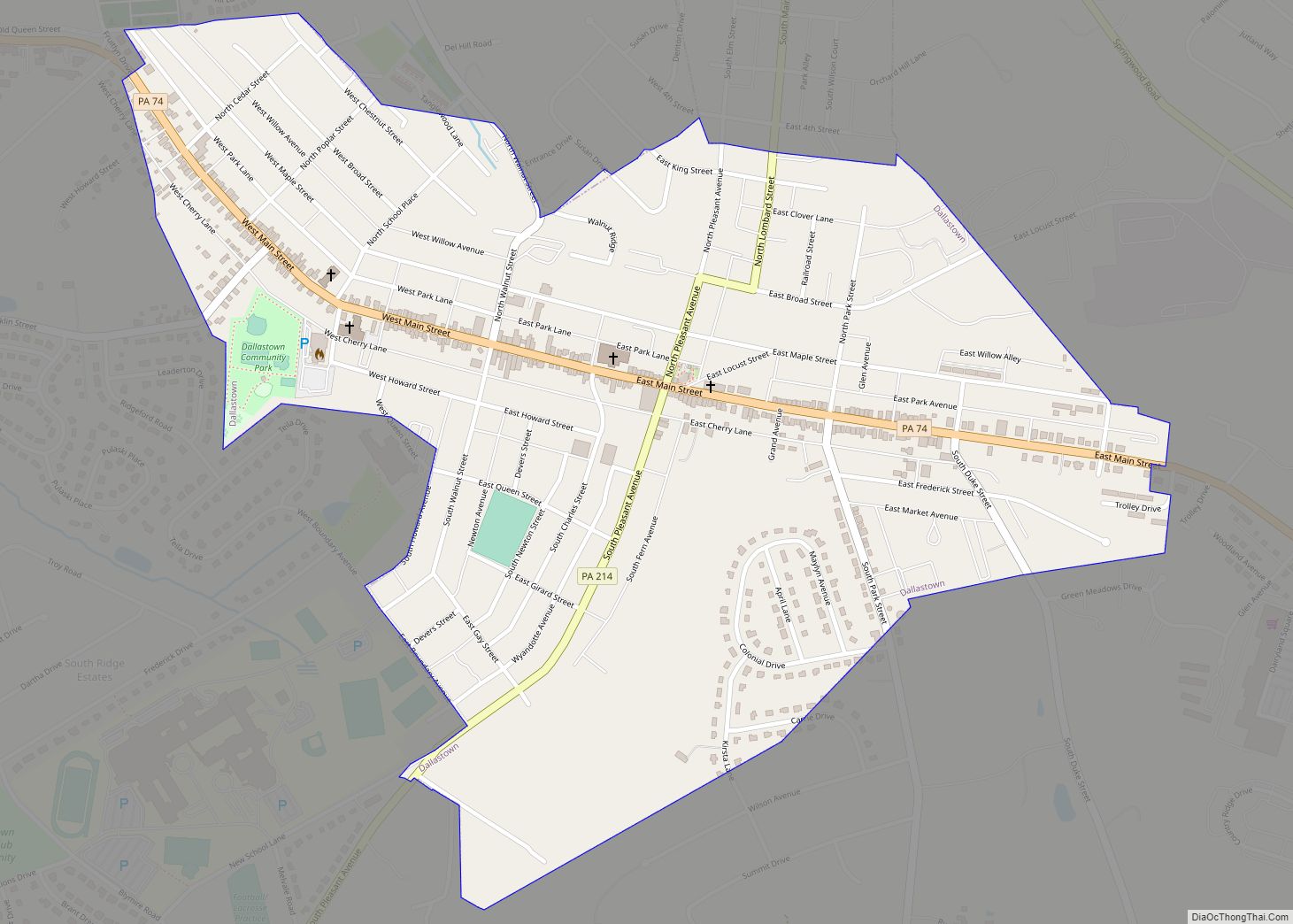
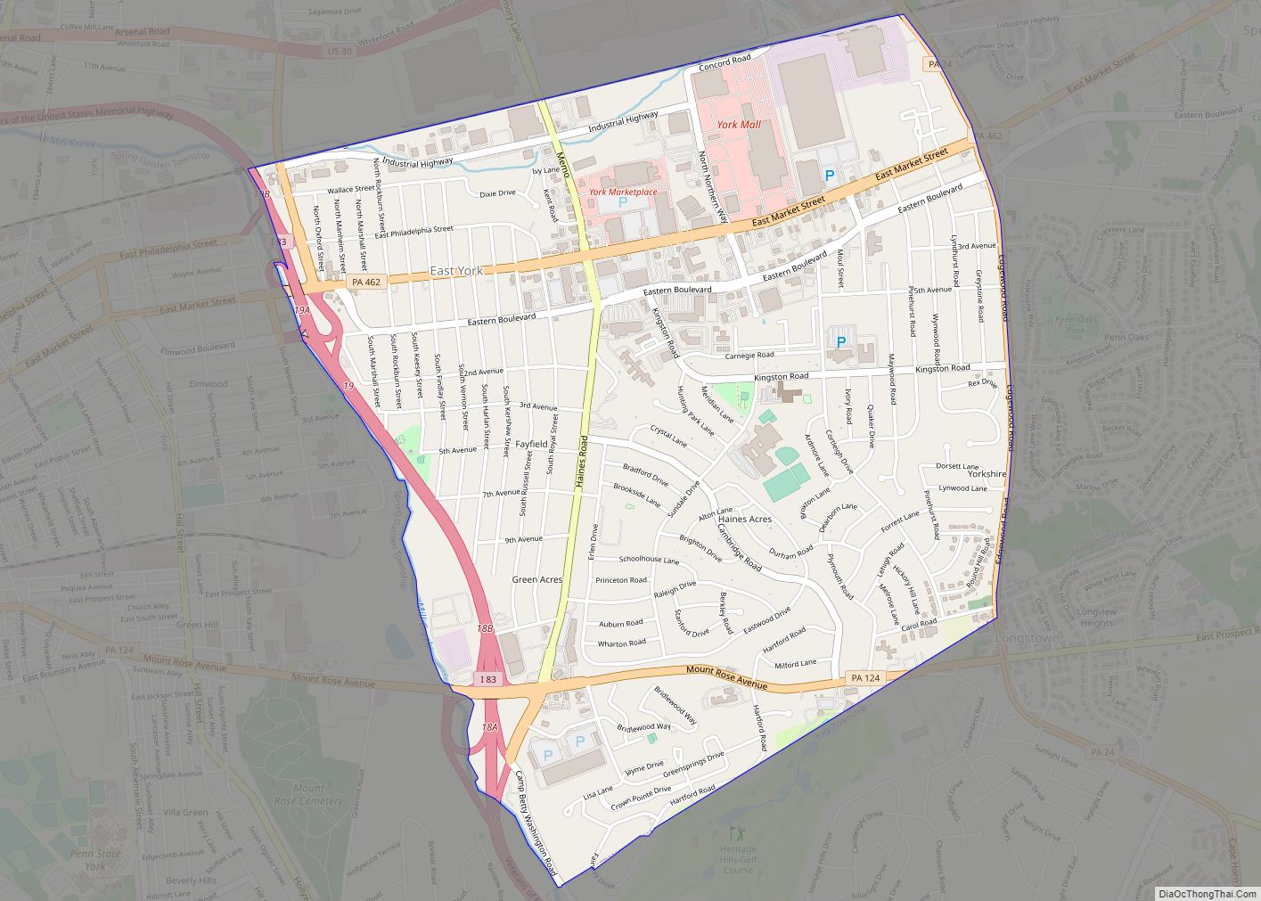
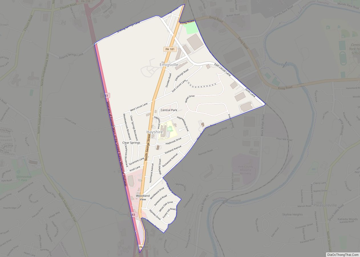
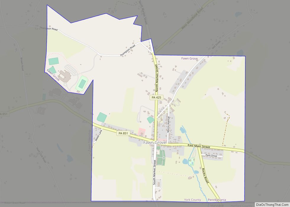
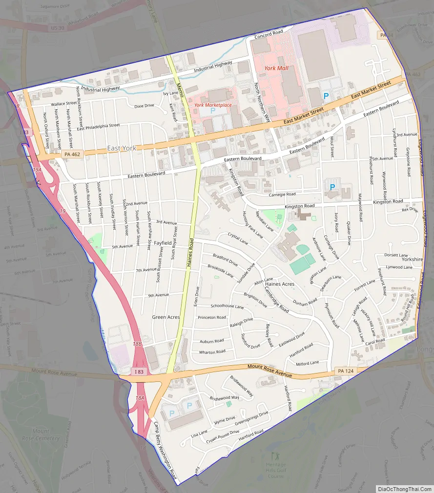
East York Road Map
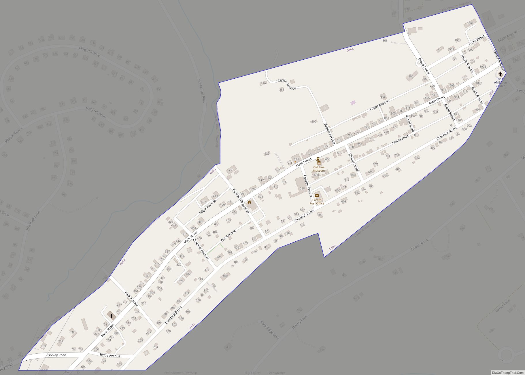
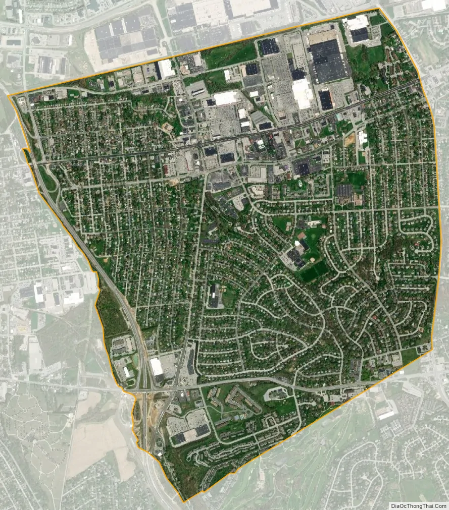
East York city Satellite Map
Geography
East York is located within Springettsbury Township at 39°58′07″N 76°40′40″W / 39.968531°N 76.677739°W / 39.968531; -76.677739. It is located just east of the city of York.
According to the United States Census Bureau, the CDP has a total area of 2.9 square miles (7.5 km), all land.
See also
Map of Pennsylvania State and its subdivision:- Adams
- Allegheny
- Armstrong
- Beaver
- Bedford
- Berks
- Blair
- Bradford
- Bucks
- Butler
- Cambria
- Cameron
- Carbon
- Centre
- Chester
- Clarion
- Clearfield
- Clinton
- Columbia
- Crawford
- Cumberland
- Dauphin
- Delaware
- Elk
- Erie
- Fayette
- Forest
- Franklin
- Fulton
- Greene
- Huntingdon
- Indiana
- Jefferson
- Juniata
- Lackawanna
- Lancaster
- Lawrence
- Lebanon
- Lehigh
- Luzerne
- Lycoming
- Mc Kean
- Mercer
- Mifflin
- Monroe
- Montgomery
- Montour
- Northampton
- Northumberland
- Perry
- Philadelphia
- Pike
- Potter
- Schuylkill
- Snyder
- Somerset
- Sullivan
- Susquehanna
- Tioga
- Union
- Venango
- Warren
- Washington
- Wayne
- Westmoreland
- Wyoming
- York
- Alabama
- Alaska
- Arizona
- Arkansas
- California
- Colorado
- Connecticut
- Delaware
- District of Columbia
- Florida
- Georgia
- Hawaii
- Idaho
- Illinois
- Indiana
- Iowa
- Kansas
- Kentucky
- Louisiana
- Maine
- Maryland
- Massachusetts
- Michigan
- Minnesota
- Mississippi
- Missouri
- Montana
- Nebraska
- Nevada
- New Hampshire
- New Jersey
- New Mexico
- New York
- North Carolina
- North Dakota
- Ohio
- Oklahoma
- Oregon
- Pennsylvania
- Rhode Island
- South Carolina
- South Dakota
- Tennessee
- Texas
- Utah
- Vermont
- Virginia
- Washington
- West Virginia
- Wisconsin
- Wyoming