Eau Claire is a borough in Butler County, Pennsylvania, United States. The population was 316 at the 2010 census. The name means “Clear Water” in French, and the name is pronounced as though it were spelled “U’Clare”.
| Name: | Eau Claire borough |
|---|---|
| LSAD Code: | 21 |
| LSAD Description: | borough (suffix) |
| State: | Pennsylvania |
| County: | Butler County |
| Incorporated: | 1900 |
| Total Area: | 1.27 sq mi (3.30 km²) |
| Land Area: | 1.27 sq mi (3.30 km²) |
| Water Area: | 0.00 sq mi (0.00 km²) |
| Total Population: | 307 |
| Population Density: | 240.78/sq mi (93.00/km²) |
| FIPS code: | 4222128 |
Online Interactive Map
Click on ![]() to view map in "full screen" mode.
to view map in "full screen" mode.
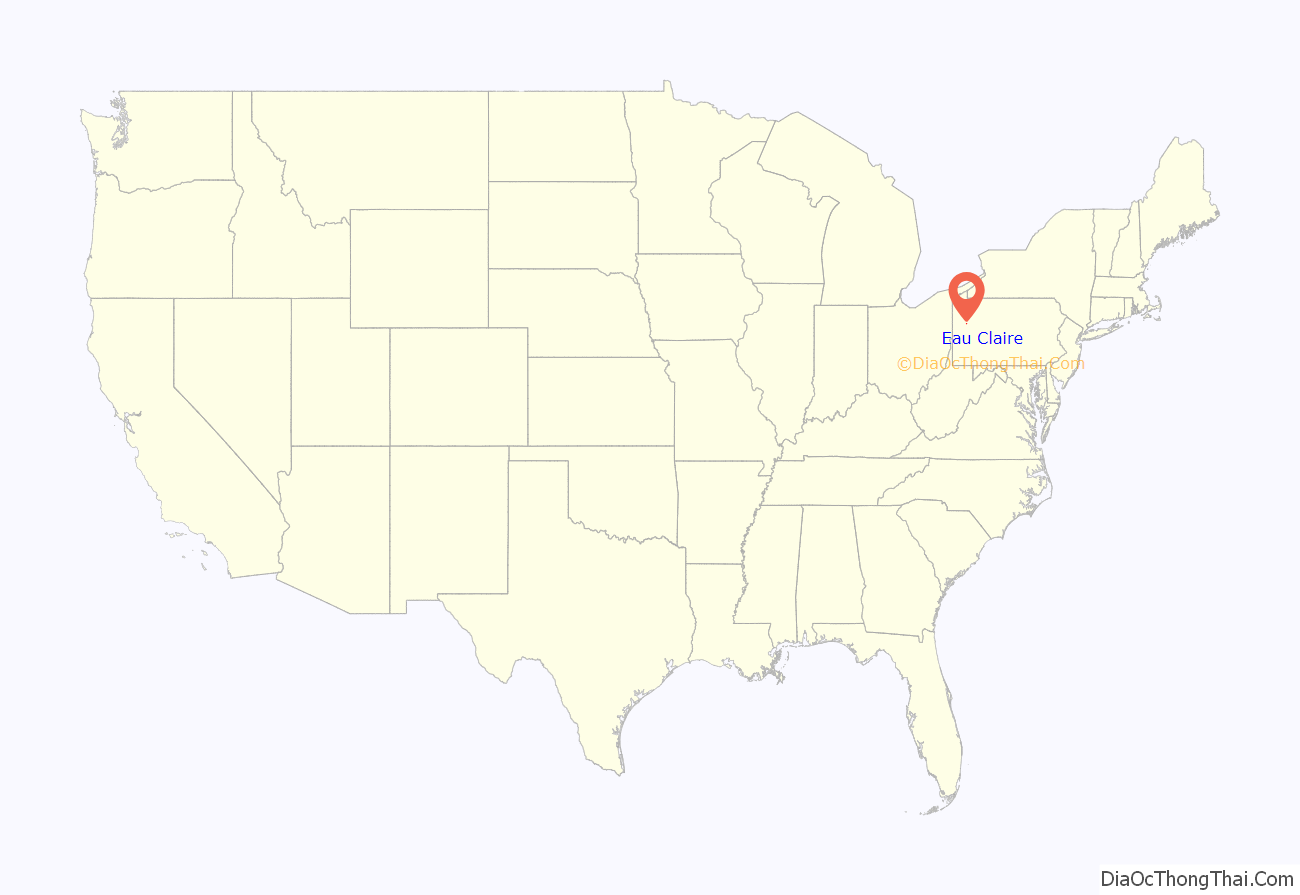
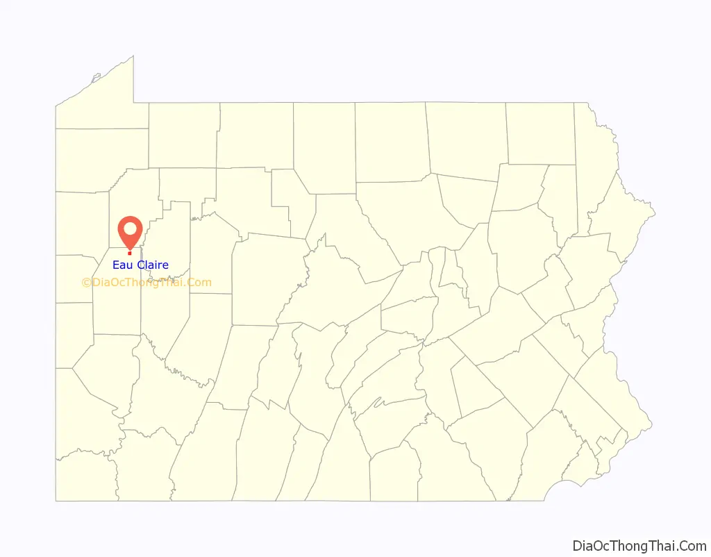
Eau Claire location map. Where is Eau Claire borough?
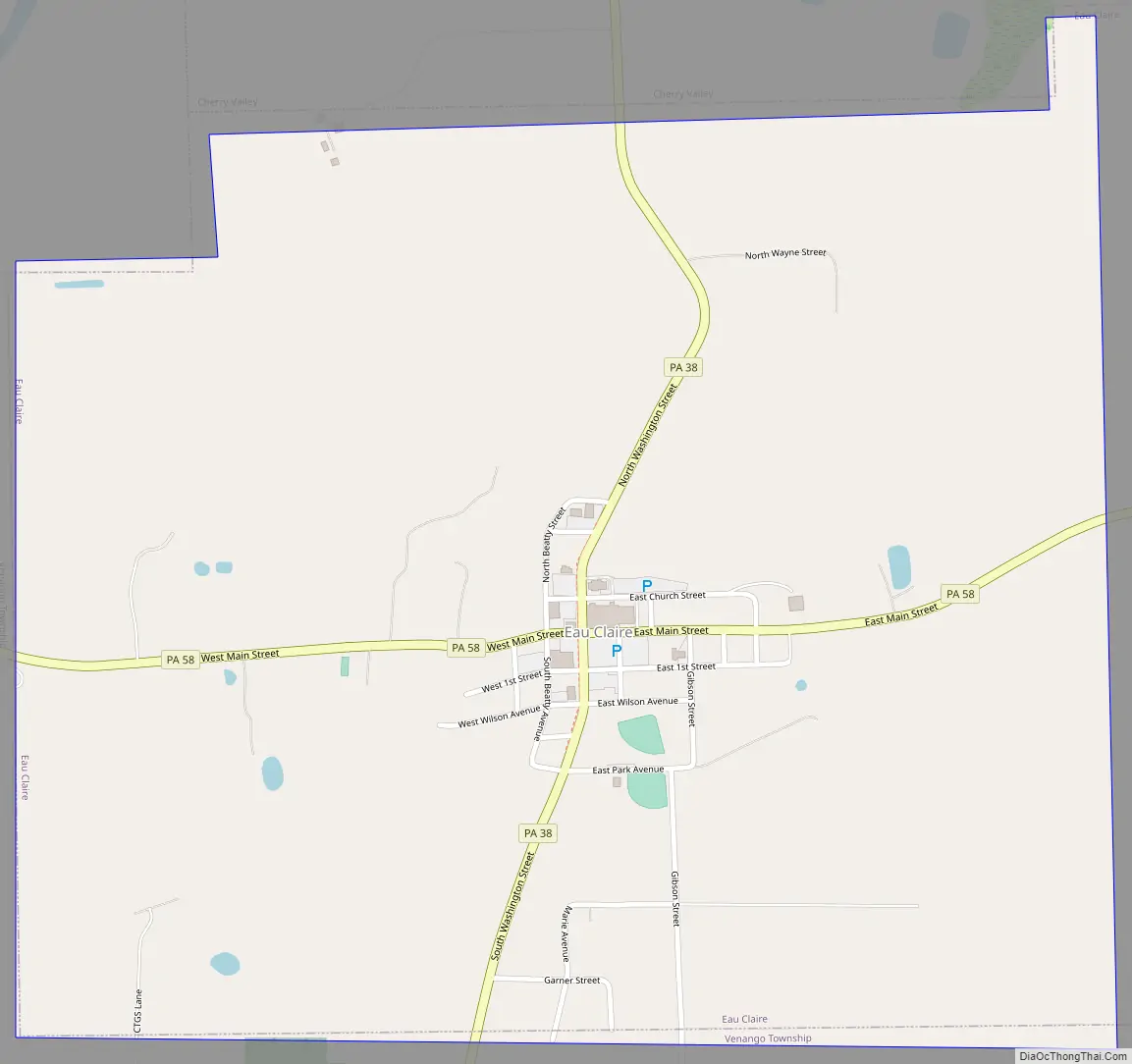
Eau Claire Road Map
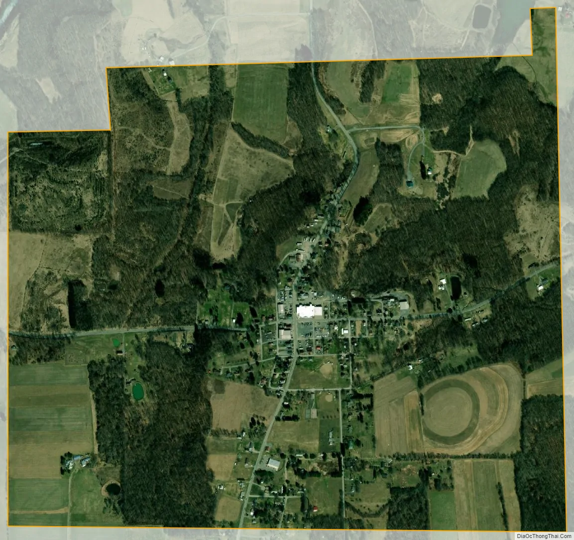
Eau Claire city Satellite Map
Geography
Eau Claire is located in northern Butler County at 41°8′7″N 79°47′52″W / 41.13528°N 79.79778°W / 41.13528; -79.79778 (41.135335, -79.797914). It is bordered by the borough of Cherry Valley to the north. Pennsylvania Routes 38 and 58 intersect in the center of the borough. Route 38 leads north and east 7 miles (11 km) to Emlenton on the Allegheny River and south 22 miles (35 km) to Butler, the county seat, while Route 58 leads east 7 miles (11 km) to Foxburg on the Allegheny River and west 16 miles (26 km) to Grove City.
According to the United States Census Bureau, Eau Claire has a total area of 1.3 square miles (3.3 km), all land.
See also
Map of Pennsylvania State and its subdivision:- Adams
- Allegheny
- Armstrong
- Beaver
- Bedford
- Berks
- Blair
- Bradford
- Bucks
- Butler
- Cambria
- Cameron
- Carbon
- Centre
- Chester
- Clarion
- Clearfield
- Clinton
- Columbia
- Crawford
- Cumberland
- Dauphin
- Delaware
- Elk
- Erie
- Fayette
- Forest
- Franklin
- Fulton
- Greene
- Huntingdon
- Indiana
- Jefferson
- Juniata
- Lackawanna
- Lancaster
- Lawrence
- Lebanon
- Lehigh
- Luzerne
- Lycoming
- Mc Kean
- Mercer
- Mifflin
- Monroe
- Montgomery
- Montour
- Northampton
- Northumberland
- Perry
- Philadelphia
- Pike
- Potter
- Schuylkill
- Snyder
- Somerset
- Sullivan
- Susquehanna
- Tioga
- Union
- Venango
- Warren
- Washington
- Wayne
- Westmoreland
- Wyoming
- York
- Alabama
- Alaska
- Arizona
- Arkansas
- California
- Colorado
- Connecticut
- Delaware
- District of Columbia
- Florida
- Georgia
- Hawaii
- Idaho
- Illinois
- Indiana
- Iowa
- Kansas
- Kentucky
- Louisiana
- Maine
- Maryland
- Massachusetts
- Michigan
- Minnesota
- Mississippi
- Missouri
- Montana
- Nebraska
- Nevada
- New Hampshire
- New Jersey
- New Mexico
- New York
- North Carolina
- North Dakota
- Ohio
- Oklahoma
- Oregon
- Pennsylvania
- Rhode Island
- South Carolina
- South Dakota
- Tennessee
- Texas
- Utah
- Vermont
- Virginia
- Washington
- West Virginia
- Wisconsin
- Wyoming


