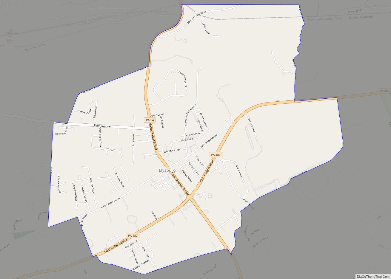
Elysburg is a census-designated place (CDP) in Ralpho Township, Northumberland County, Pennsylvania, United States. It is seventy miles north of Harrisburg. The population was 2,194 at the 2010 census. The area’s biggest attraction is Knoebels Amusement Resort, which is known for having three wooden roller coasters and free admission.
| Name: | Elysburg CDP |
|---|---|
| LSAD Code: | 57 |
| LSAD Description: | CDP (suffix) |
| State: | Pennsylvania |
| County: | Northumberland County |
| Total Area: | 2.92 sq mi (7.55 km²) |
| Land Area: | 2.92 sq mi (7.55 km²) |
| Water Area: | 0.00 sq mi (0.00 km²) |
| Total Population: | 2,152 |
| Population Density: | 738.00/sq mi (284.93/km²) |
| ZIP code: | 17824 |
| Area code: | 570 |
| FIPS code: | 4223472 |
Online Interactive Map
Click on ![]() to view map in "full screen" mode.
to view map in "full screen" mode.
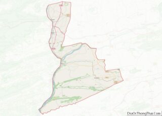
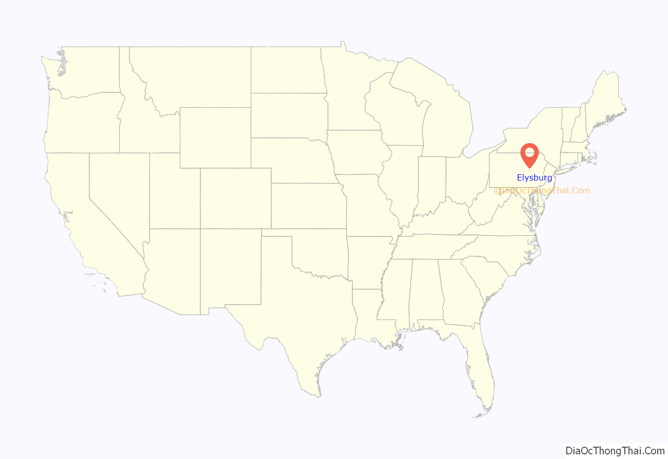
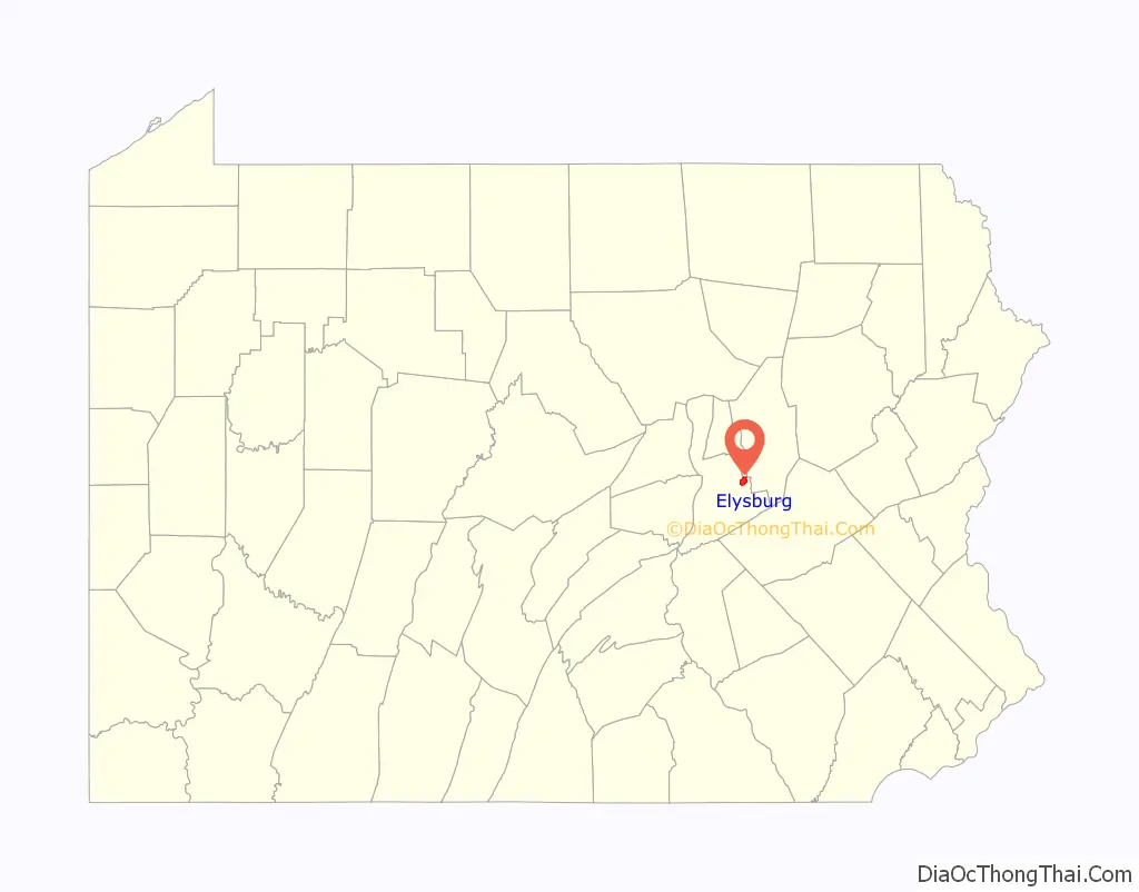
Elysburg location map. Where is Elysburg CDP?
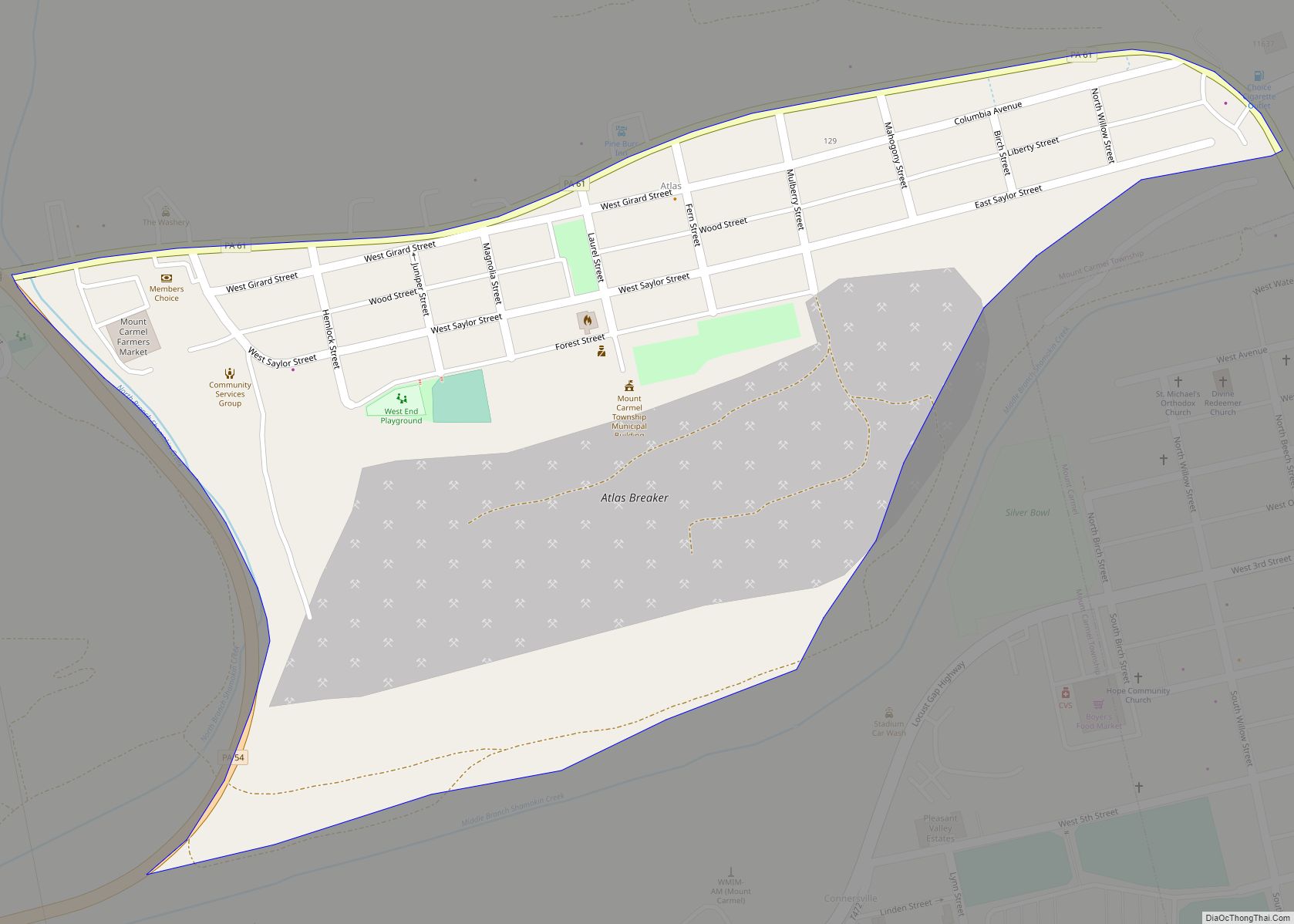
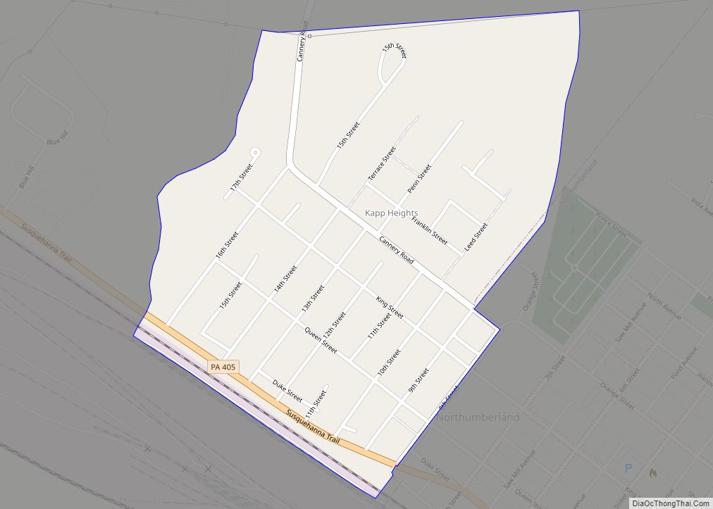
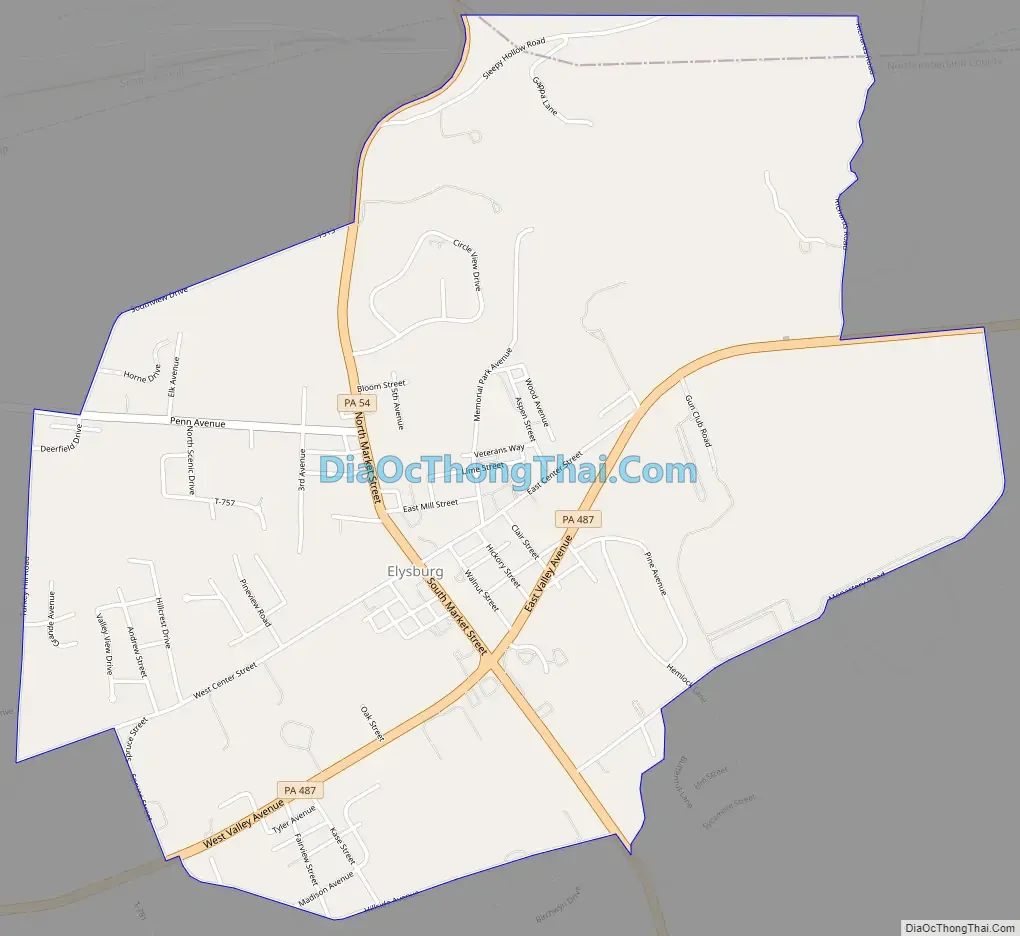
Elysburg Road Map
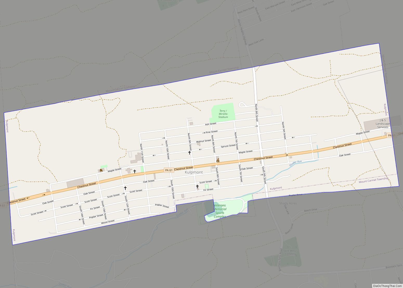
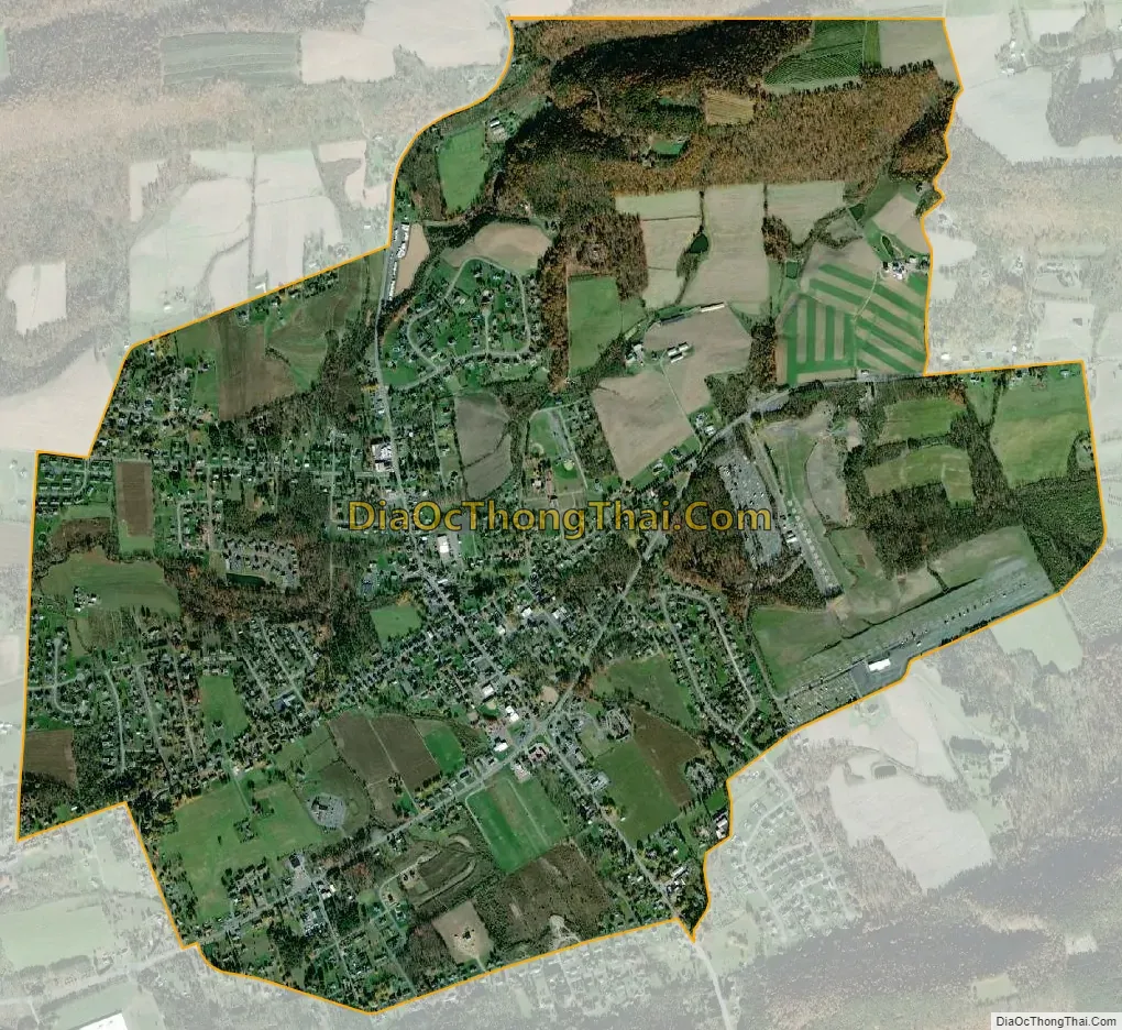
Elysburg city Satellite Map
Geography
Elysburg is served by Pennsylvania Route 54 and Pennsylvania Route 487. Elysburg’s terrain is mostly gently rolling, with some steep hills in the northeastern part of the CDP. Elysburg’s land is mostly residential and farmland, with some forest.
See also
Map of Pennsylvania State and its subdivision:- Adams
- Allegheny
- Armstrong
- Beaver
- Bedford
- Berks
- Blair
- Bradford
- Bucks
- Butler
- Cambria
- Cameron
- Carbon
- Centre
- Chester
- Clarion
- Clearfield
- Clinton
- Columbia
- Crawford
- Cumberland
- Dauphin
- Delaware
- Elk
- Erie
- Fayette
- Forest
- Franklin
- Fulton
- Greene
- Huntingdon
- Indiana
- Jefferson
- Juniata
- Lackawanna
- Lancaster
- Lawrence
- Lebanon
- Lehigh
- Luzerne
- Lycoming
- Mc Kean
- Mercer
- Mifflin
- Monroe
- Montgomery
- Montour
- Northampton
- Northumberland
- Perry
- Philadelphia
- Pike
- Potter
- Schuylkill
- Snyder
- Somerset
- Sullivan
- Susquehanna
- Tioga
- Union
- Venango
- Warren
- Washington
- Wayne
- Westmoreland
- Wyoming
- York
- Alabama
- Alaska
- Arizona
- Arkansas
- California
- Colorado
- Connecticut
- Delaware
- District of Columbia
- Florida
- Georgia
- Hawaii
- Idaho
- Illinois
- Indiana
- Iowa
- Kansas
- Kentucky
- Louisiana
- Maine
- Maryland
- Massachusetts
- Michigan
- Minnesota
- Mississippi
- Missouri
- Montana
- Nebraska
- Nevada
- New Hampshire
- New Jersey
- New Mexico
- New York
- North Carolina
- North Dakota
- Ohio
- Oklahoma
- Oregon
- Pennsylvania
- Rhode Island
- South Carolina
- South Dakota
- Tennessee
- Texas
- Utah
- Vermont
- Virginia
- Washington
- West Virginia
- Wisconsin
- Wyoming