Emlenton is a borough in Clarion and Venango counties in the U.S. state of Pennsylvania. The population was 625 at the 2010 census. Of these, 617 were in Venango County, and eight were in Clarion County. The borough is home to the Emlenton Bridge on I-80, which spans the Allegheny River.
| Name: | Emlenton borough |
|---|---|
| LSAD Code: | 21 |
| LSAD Description: | borough (suffix) |
| State: | Pennsylvania |
| County: | Clarion County, Venango County |
| Incorporated: | 1859 |
| Elevation: | 920 ft (280 m) |
| Total Area: | 0.59 sq mi (1.52 km²) |
| Land Area: | 0.58 sq mi (1.51 km²) |
| Water Area: | 0.01 sq mi (0.01 km²) |
| Total Population: | 614 |
| Population Density: | 1,054.98/sq mi (407.50/km²) |
| ZIP code: | 16373 |
| Area code: | 724 |
| FIPS code: | 4223568 |
| Website: | www.emlentonborough.com |
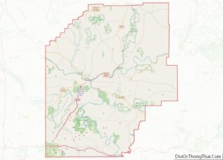
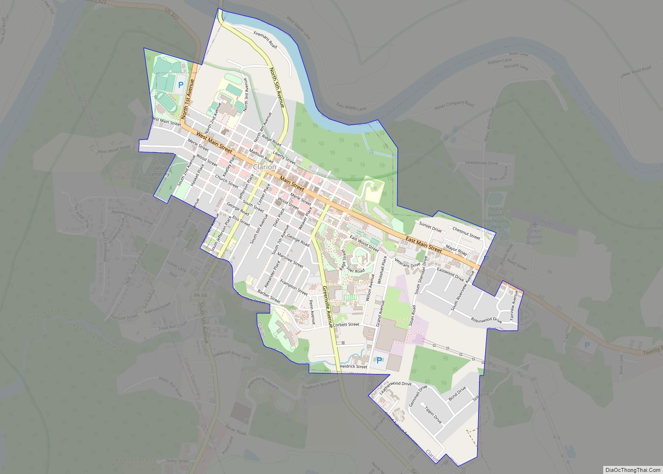
Online Interactive Map
Click on ![]() to view map in "full screen" mode.
to view map in "full screen" mode.
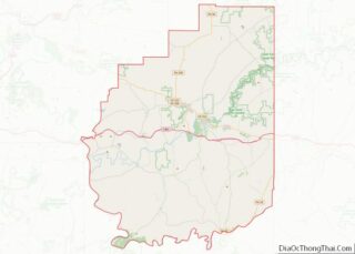
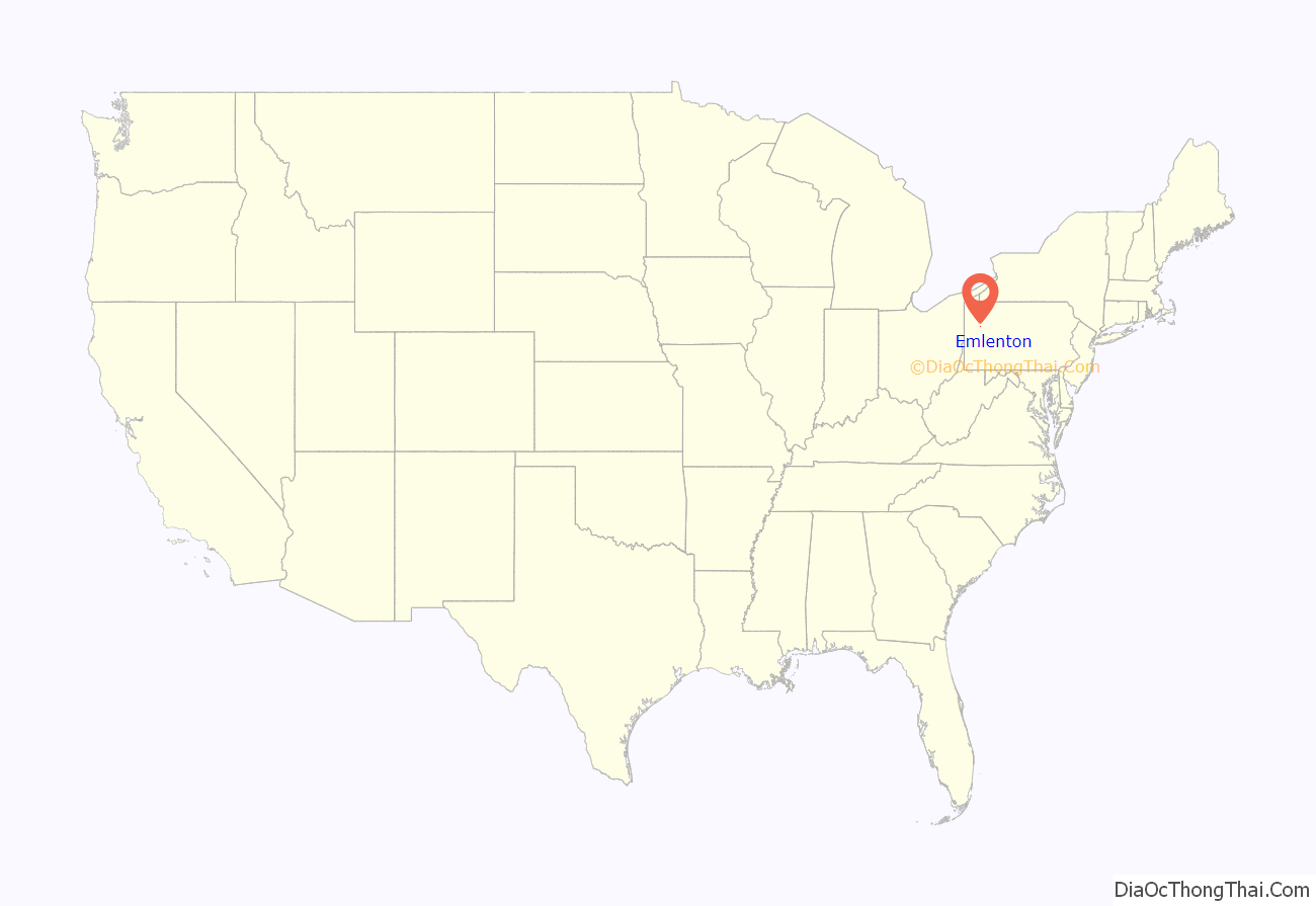
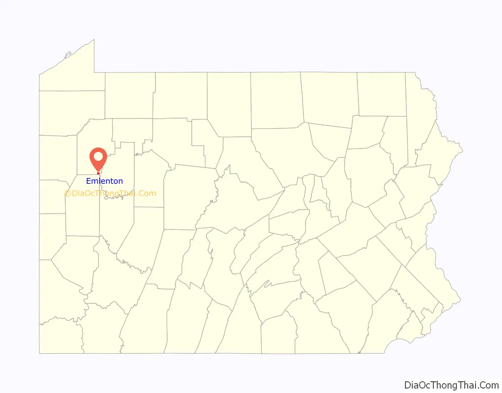
Emlenton location map. Where is Emlenton borough?
History
Emlenton is named for Emlen, the wife of John T. Sherer, one of its founders.
The Emlenton Historic District was added to the National Register of Historic Places in 1997.
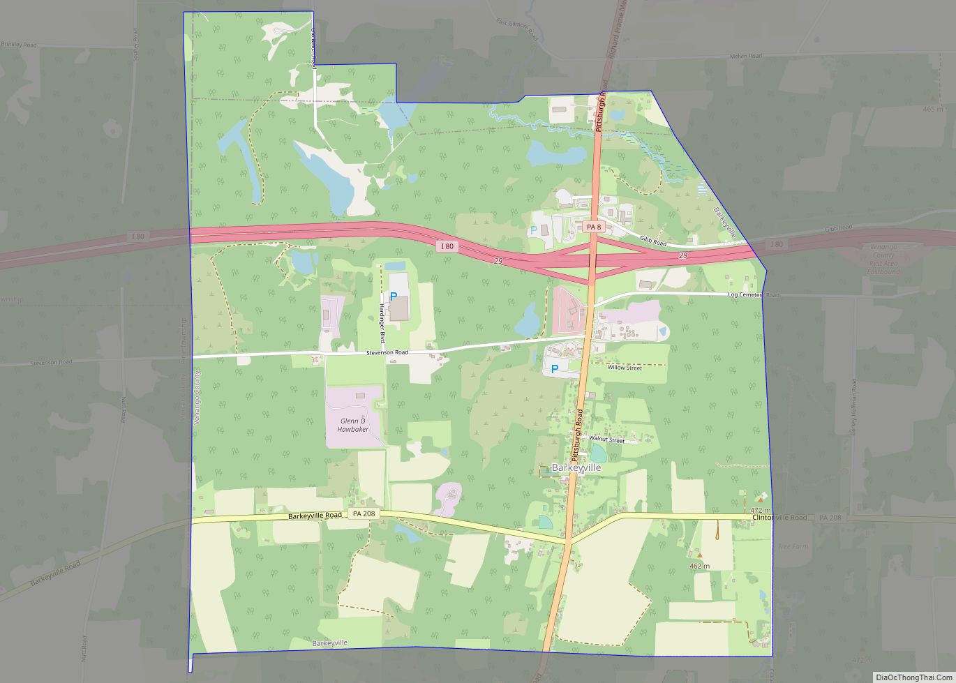
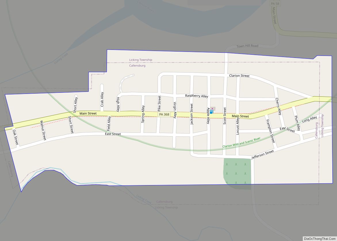
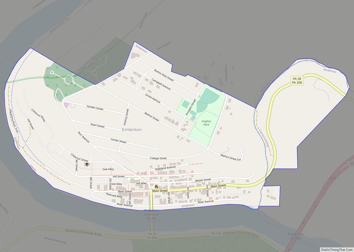
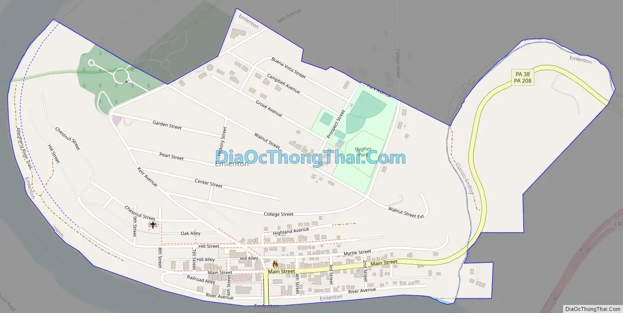
Emlenton Road Map
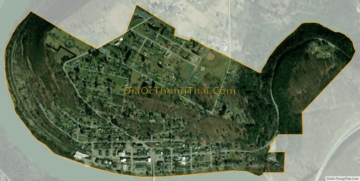
Emlenton city Satellite Map
Geography
According to the United States Census Bureau, the borough has a total area of 0.59 square miles (1.52 km), of which 0.004 square miles (0.01 km), or 0.77%, is water.
See also
Map of Pennsylvania State and its subdivision:- Adams
- Allegheny
- Armstrong
- Beaver
- Bedford
- Berks
- Blair
- Bradford
- Bucks
- Butler
- Cambria
- Cameron
- Carbon
- Centre
- Chester
- Clarion
- Clearfield
- Clinton
- Columbia
- Crawford
- Cumberland
- Dauphin
- Delaware
- Elk
- Erie
- Fayette
- Forest
- Franklin
- Fulton
- Greene
- Huntingdon
- Indiana
- Jefferson
- Juniata
- Lackawanna
- Lancaster
- Lawrence
- Lebanon
- Lehigh
- Luzerne
- Lycoming
- Mc Kean
- Mercer
- Mifflin
- Monroe
- Montgomery
- Montour
- Northampton
- Northumberland
- Perry
- Philadelphia
- Pike
- Potter
- Schuylkill
- Snyder
- Somerset
- Sullivan
- Susquehanna
- Tioga
- Union
- Venango
- Warren
- Washington
- Wayne
- Westmoreland
- Wyoming
- York
- Alabama
- Alaska
- Arizona
- Arkansas
- California
- Colorado
- Connecticut
- Delaware
- District of Columbia
- Florida
- Georgia
- Hawaii
- Idaho
- Illinois
- Indiana
- Iowa
- Kansas
- Kentucky
- Louisiana
- Maine
- Maryland
- Massachusetts
- Michigan
- Minnesota
- Mississippi
- Missouri
- Montana
- Nebraska
- Nevada
- New Hampshire
- New Jersey
- New Mexico
- New York
- North Carolina
- North Dakota
- Ohio
- Oklahoma
- Oregon
- Pennsylvania
- Rhode Island
- South Carolina
- South Dakota
- Tennessee
- Texas
- Utah
- Vermont
- Virginia
- Washington
- West Virginia
- Wisconsin
- Wyoming