Fairfield is a borough in Adams County, Pennsylvania, United States. The population was 526 at the 2020 census.
| Name: | Fairfield borough |
|---|---|
| LSAD Code: | 21 |
| LSAD Description: | borough (suffix) |
| State: | Pennsylvania |
| County: | Adams County |
| Incorporated: | 1896 |
| Elevation: | 597 ft (182 m) |
| Total Area: | 0.67 sq mi (1.74 km²) |
| Land Area: | 0.67 sq mi (1.74 km²) |
| Water Area: | 0.00 sq mi (0.00 km²) |
| Total Population: | 526 |
| Population Density: | 781.58/sq mi (301.86/km²) |
| ZIP code: | 17320 |
| Area code: | 717 and 223 |
| FIPS code: | 4224560 |
| Website: | fairfieldborough.com |
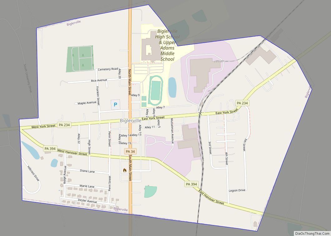
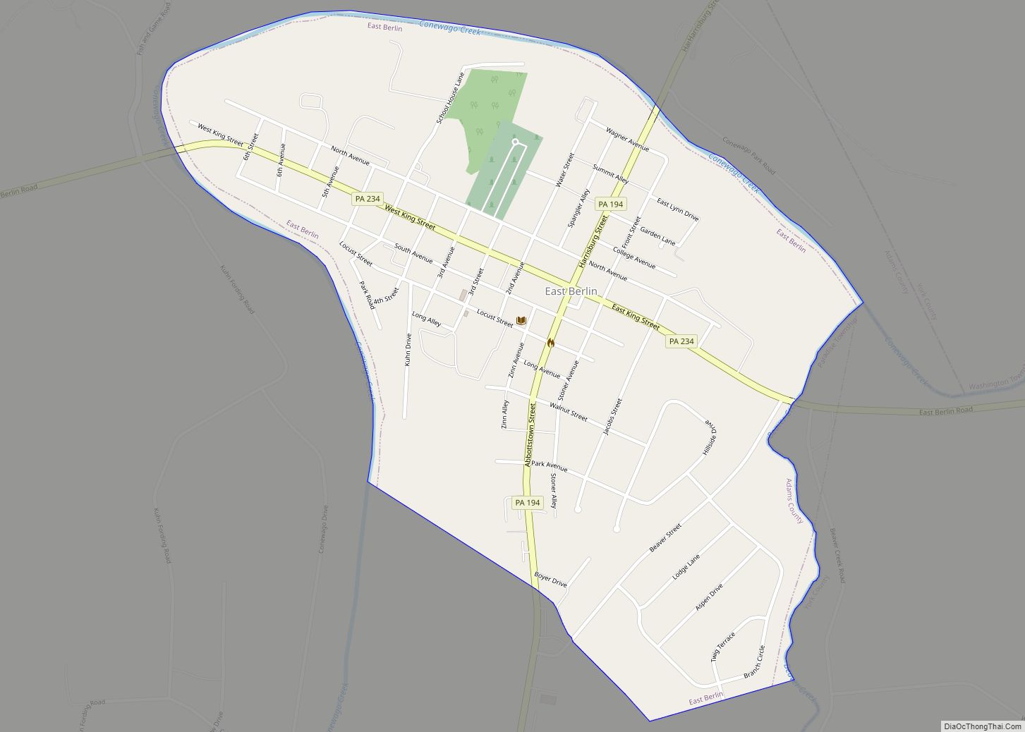
Online Interactive Map
Click on ![]() to view map in "full screen" mode.
to view map in "full screen" mode.
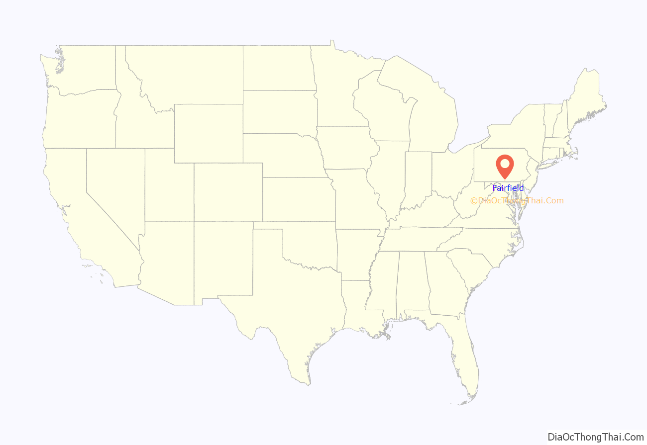
Fairfield location map. Where is Fairfield borough?

History
During the Gettysburg Campaign in the American Civil War, the Battle of Fairfield played an important role in securing the Fairfield pass and the Hagerstown Road, enabling Robert E. Lee’s Army of Northern Virginia to retreat through Fairfield towards the Potomac River. The actual fighting near Fairfield was between elements of the 6th United States Cavalry under Major Samuel Starr, and elements of General “Grumble” Jones’ Brigade of Virginia Cavalry. The Union casualties were treated in the town of Fairfield, specifically in the homes of Mrs. Sarah Amanda Blythe, Rufus Christian Swope, and in what is now St. John’s Lutheran Church. For more information on the town of Fairfield, see Fairfield In the Civil War, by Sarah Sites Thomas, Tim Smith, Gary Kross, and Dean S. Thomas. The Fairfield Historic District and Fairfield Inn are listed on the National Register of Historic Places.
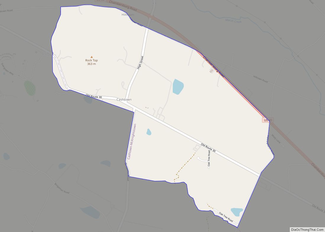
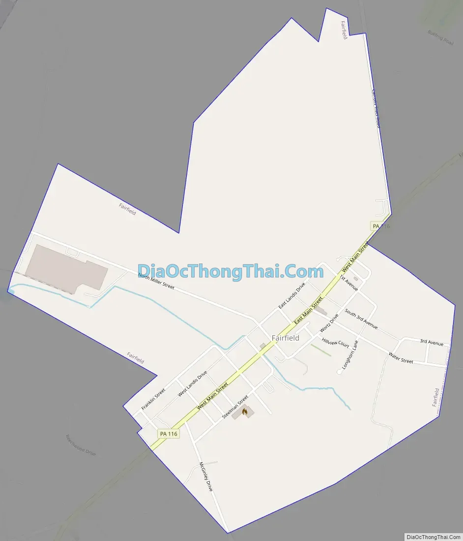
Fairfield Road Map
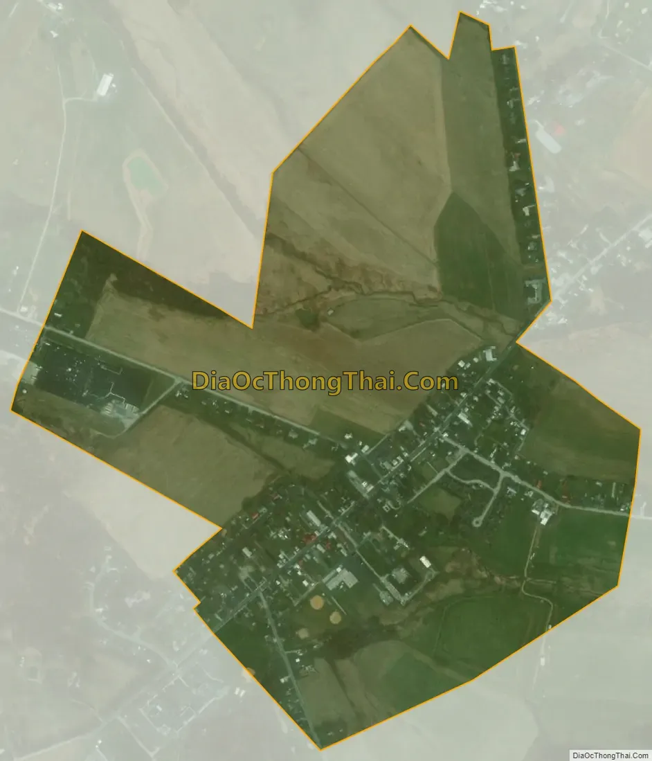
Fairfield city Satellite Map
Geography
Fairfield is located at 39°47′14″N 77°22′10″W / 39.78722°N 77.36944°W / 39.78722; -77.36944 (39.787260, -77.369399).
According to the United States Census Bureau, the borough has a total area of 0.7 square miles (1.8 km), all land.
See also
Map of Pennsylvania State and its subdivision:- Adams
- Allegheny
- Armstrong
- Beaver
- Bedford
- Berks
- Blair
- Bradford
- Bucks
- Butler
- Cambria
- Cameron
- Carbon
- Centre
- Chester
- Clarion
- Clearfield
- Clinton
- Columbia
- Crawford
- Cumberland
- Dauphin
- Delaware
- Elk
- Erie
- Fayette
- Forest
- Franklin
- Fulton
- Greene
- Huntingdon
- Indiana
- Jefferson
- Juniata
- Lackawanna
- Lancaster
- Lawrence
- Lebanon
- Lehigh
- Luzerne
- Lycoming
- Mc Kean
- Mercer
- Mifflin
- Monroe
- Montgomery
- Montour
- Northampton
- Northumberland
- Perry
- Philadelphia
- Pike
- Potter
- Schuylkill
- Snyder
- Somerset
- Sullivan
- Susquehanna
- Tioga
- Union
- Venango
- Warren
- Washington
- Wayne
- Westmoreland
- Wyoming
- York
- Alabama
- Alaska
- Arizona
- Arkansas
- California
- Colorado
- Connecticut
- Delaware
- District of Columbia
- Florida
- Georgia
- Hawaii
- Idaho
- Illinois
- Indiana
- Iowa
- Kansas
- Kentucky
- Louisiana
- Maine
- Maryland
- Massachusetts
- Michigan
- Minnesota
- Mississippi
- Missouri
- Montana
- Nebraska
- Nevada
- New Hampshire
- New Jersey
- New Mexico
- New York
- North Carolina
- North Dakota
- Ohio
- Oklahoma
- Oregon
- Pennsylvania
- Rhode Island
- South Carolina
- South Dakota
- Tennessee
- Texas
- Utah
- Vermont
- Virginia
- Washington
- West Virginia
- Wisconsin
- Wyoming