Cashtown is a census-designated place in Franklin Township, Adams County, Pennsylvania, United States. The community was part of the Cashtown-McKnightstown CDP, until it was split into two separate CDPs for the 2010 census. As of 2020, the population of Cashtown was 453.
A post office called Cashtown has been in operation since 1833. According to tradition, the community was named for the fact a local tavern owner required that payment be made in cash.
| Name: | Cashtown CDP |
|---|---|
| LSAD Code: | 57 |
| LSAD Description: | CDP (suffix) |
| State: | Pennsylvania |
| County: | Adams County |
| Elevation: | 746 ft (227 m) |
| Total Area: | 1.51 sq mi (3.92 km²) |
| Land Area: | 1.50 sq mi (3.89 km²) |
| Water Area: | 0.01 sq mi (0.03 km²) |
| Total Population: | 453 |
| Population Density: | 301.20/sq mi (116.33/km²) |
| FIPS code: | 4211576 |
| GNISfeature ID: | 1171306 |
Online Interactive Map
Click on ![]() to view map in "full screen" mode.
to view map in "full screen" mode.
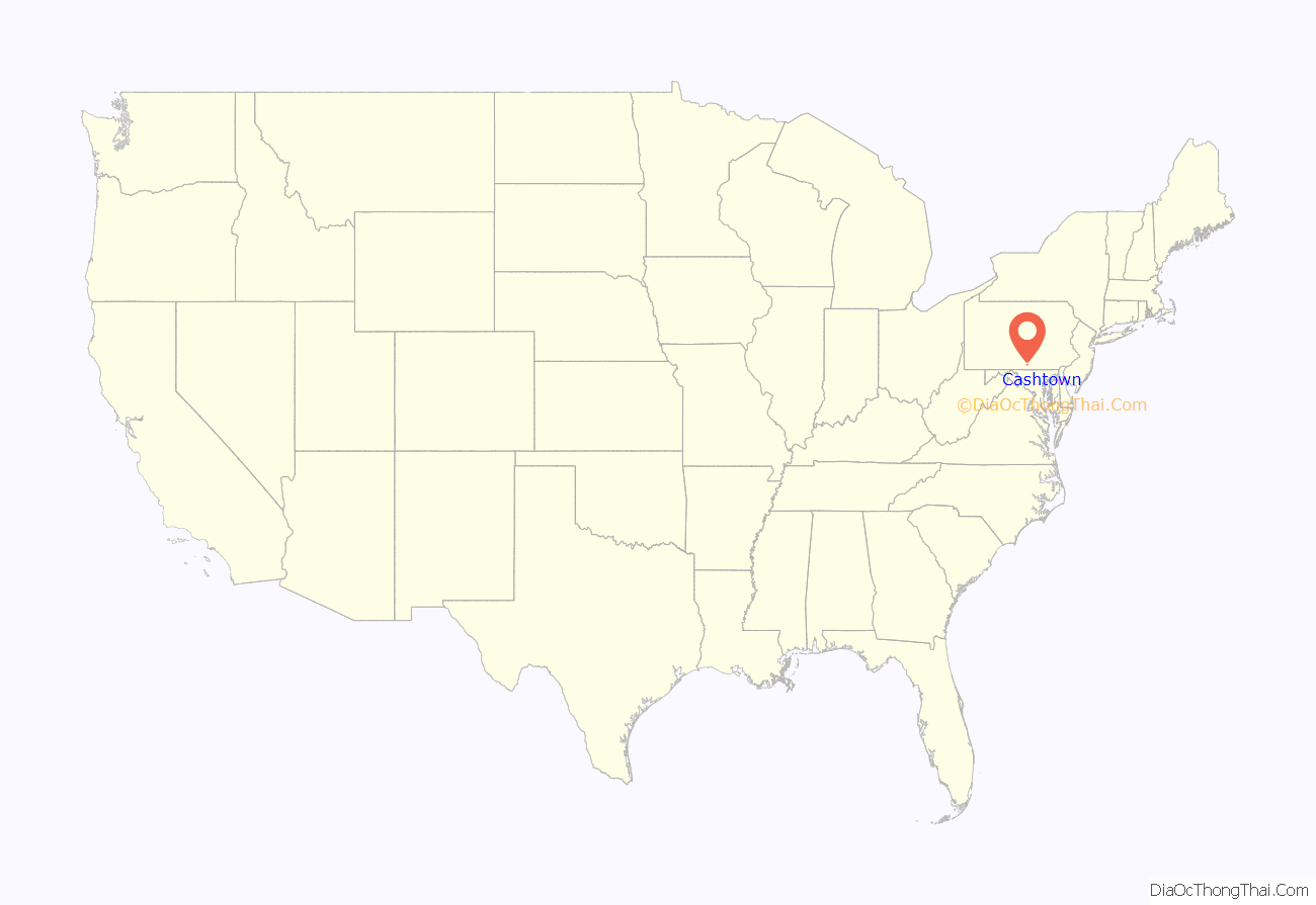
Cashtown location map. Where is Cashtown CDP?

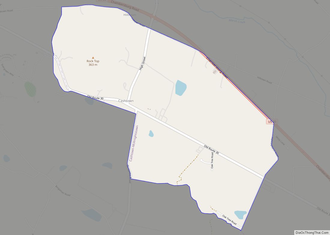
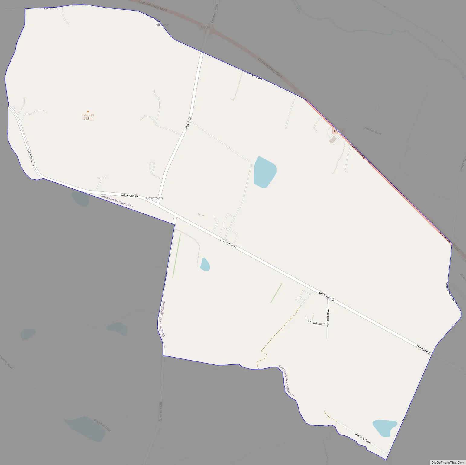
Cashtown Road Map
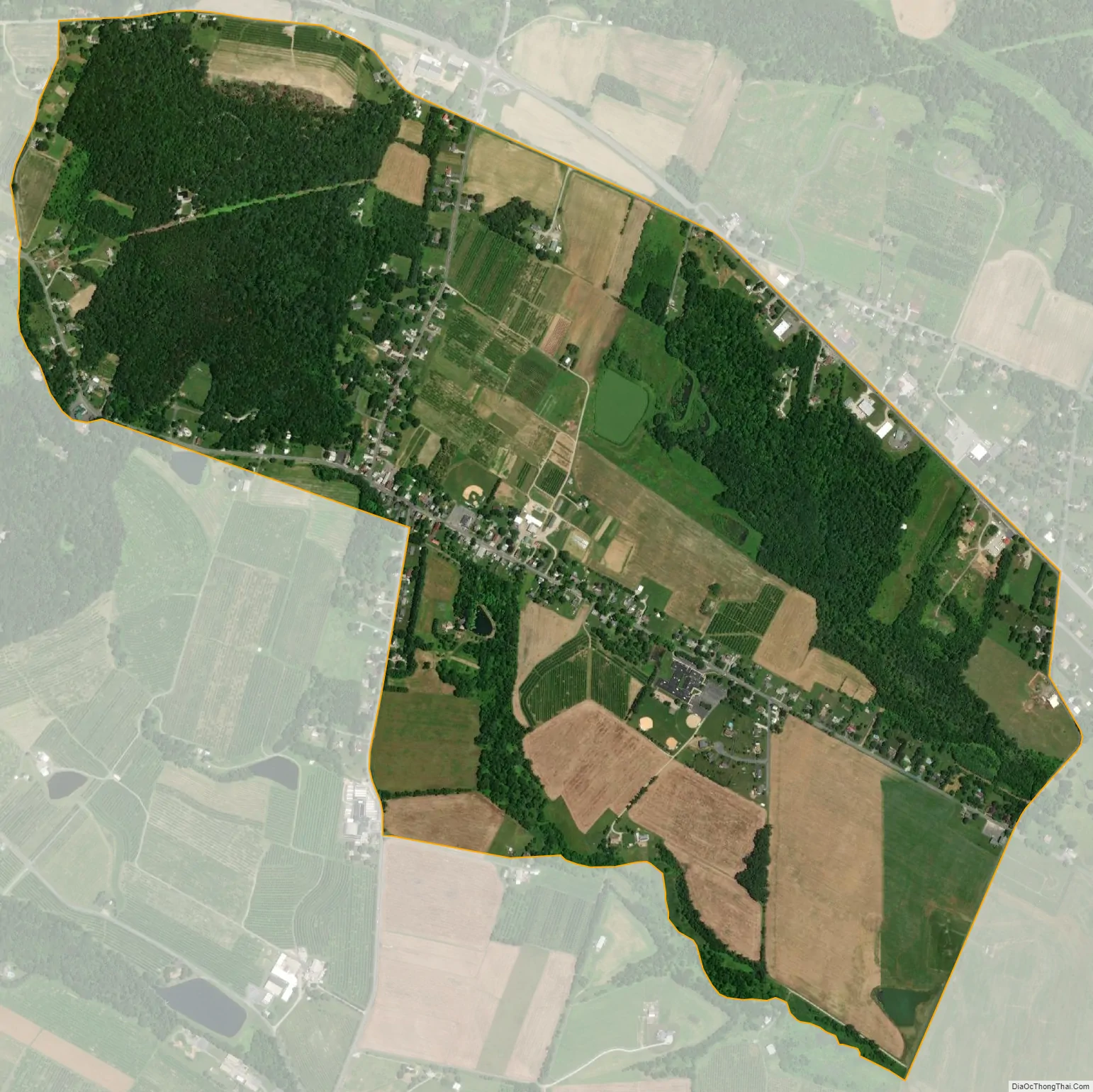
Cashtown city Satellite Map
Geography
Cashtown is located west of Gettysburg in western Adams County. U.S. Route 30 bypasses the center of the community and forms the northern edge of the CDP. Old U.S. 30, the original Lincoln Highway, is the main street of Cashtown. McKnightstown is 1.5 miles (2.4 km) to the east.
See also
Map of Pennsylvania State and its subdivision:- Adams
- Allegheny
- Armstrong
- Beaver
- Bedford
- Berks
- Blair
- Bradford
- Bucks
- Butler
- Cambria
- Cameron
- Carbon
- Centre
- Chester
- Clarion
- Clearfield
- Clinton
- Columbia
- Crawford
- Cumberland
- Dauphin
- Delaware
- Elk
- Erie
- Fayette
- Forest
- Franklin
- Fulton
- Greene
- Huntingdon
- Indiana
- Jefferson
- Juniata
- Lackawanna
- Lancaster
- Lawrence
- Lebanon
- Lehigh
- Luzerne
- Lycoming
- Mc Kean
- Mercer
- Mifflin
- Monroe
- Montgomery
- Montour
- Northampton
- Northumberland
- Perry
- Philadelphia
- Pike
- Potter
- Schuylkill
- Snyder
- Somerset
- Sullivan
- Susquehanna
- Tioga
- Union
- Venango
- Warren
- Washington
- Wayne
- Westmoreland
- Wyoming
- York
- Alabama
- Alaska
- Arizona
- Arkansas
- California
- Colorado
- Connecticut
- Delaware
- District of Columbia
- Florida
- Georgia
- Hawaii
- Idaho
- Illinois
- Indiana
- Iowa
- Kansas
- Kentucky
- Louisiana
- Maine
- Maryland
- Massachusetts
- Michigan
- Minnesota
- Mississippi
- Missouri
- Montana
- Nebraska
- Nevada
- New Hampshire
- New Jersey
- New Mexico
- New York
- North Carolina
- North Dakota
- Ohio
- Oklahoma
- Oregon
- Pennsylvania
- Rhode Island
- South Carolina
- South Dakota
- Tennessee
- Texas
- Utah
- Vermont
- Virginia
- Washington
- West Virginia
- Wisconsin
- Wyoming