Fayette City is a borough in Fayette County, Pennsylvania, United States. The population was 502 at the 2020 census, a decline from the figure of 596 tabulated in 2010. It is served by the Belle Vernon Area School District. Some buildings in the town antedate 1820.
Like many towns in this area, Fayette City has been home to many coal miners supporting the coal industry in the region. It was the site of the Naomi Mine explosion, December 7, 1907. It was also the location of an explosion in the Apollo Mine in January 1926
Herbert Vargo Jr. is the current mayor. His term ends in 2025. He was first elected to the office in 1993.
| Name: | Fayette City borough |
|---|---|
| LSAD Code: | 21 |
| LSAD Description: | borough (suffix) |
| State: | Pennsylvania |
| County: | Fayette County |
| Elevation: | 770 ft (230 m) |
| Total Area: | 0.28 sq mi (0.73 km²) |
| Land Area: | 0.22 sq mi (0.57 km²) |
| Water Area: | 0.06 sq mi (0.16 km²) |
| Total Population: | 502 |
| Population Density: | 2,261.26/sq mi (873.84/km²) |
| Area code: | 724 |
| FIPS code: | 4225456 |
Online Interactive Map
Click on ![]() to view map in "full screen" mode.
to view map in "full screen" mode.
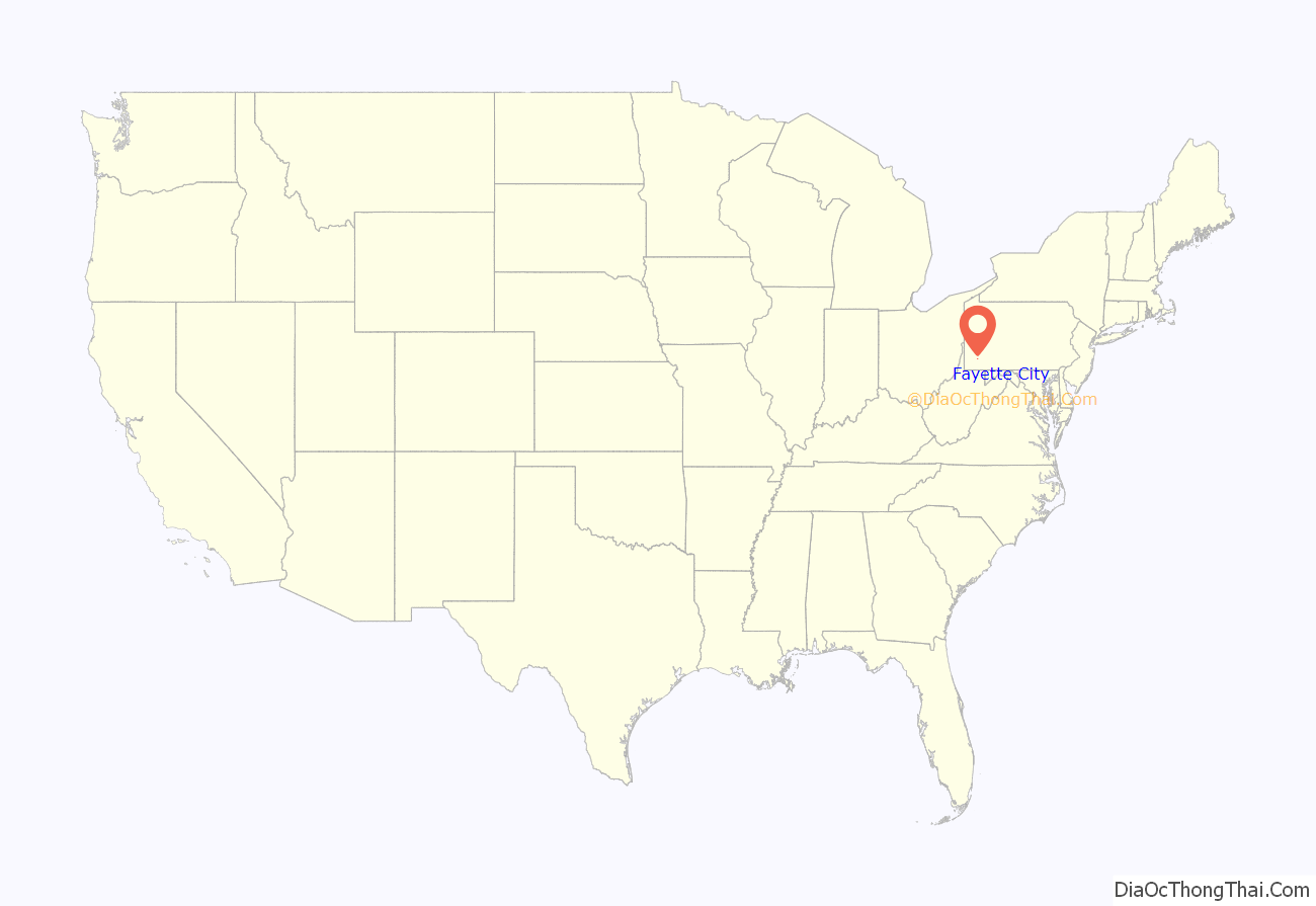
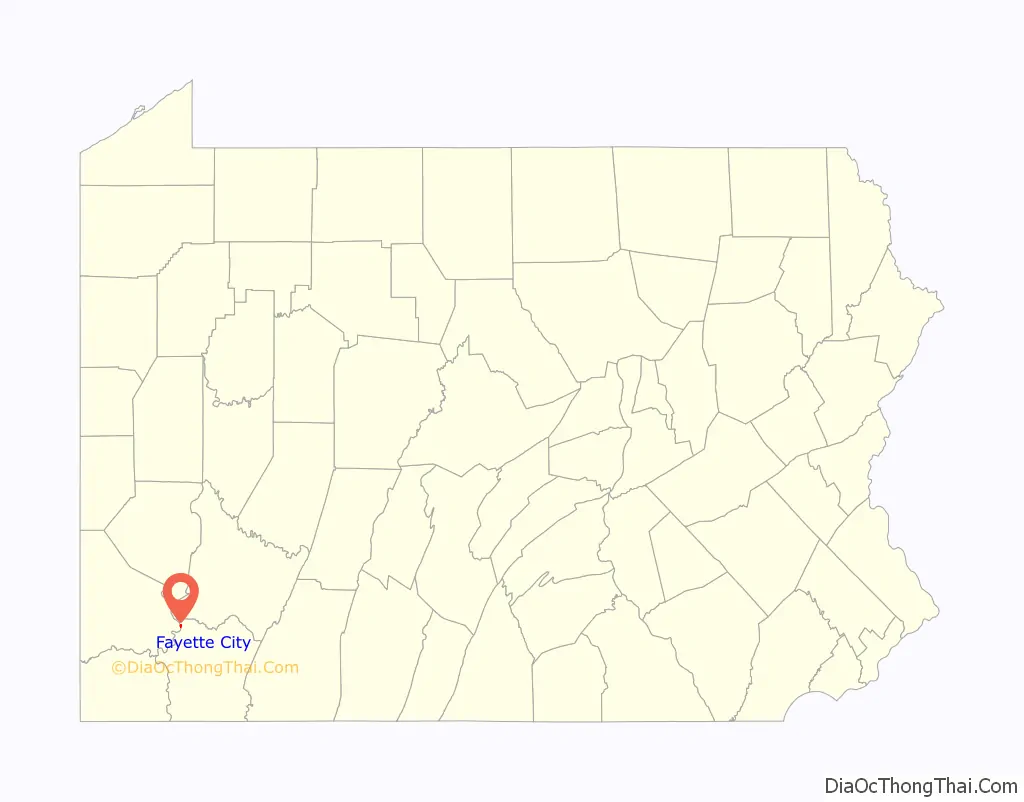
Fayette City location map. Where is Fayette City borough?
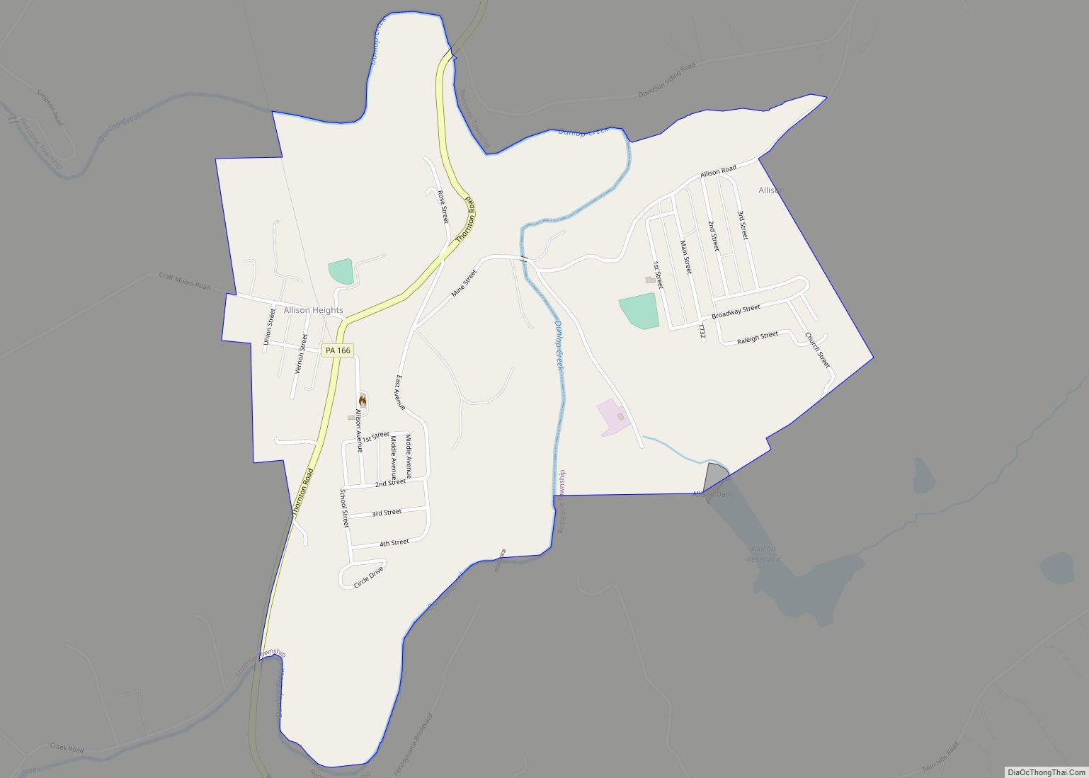
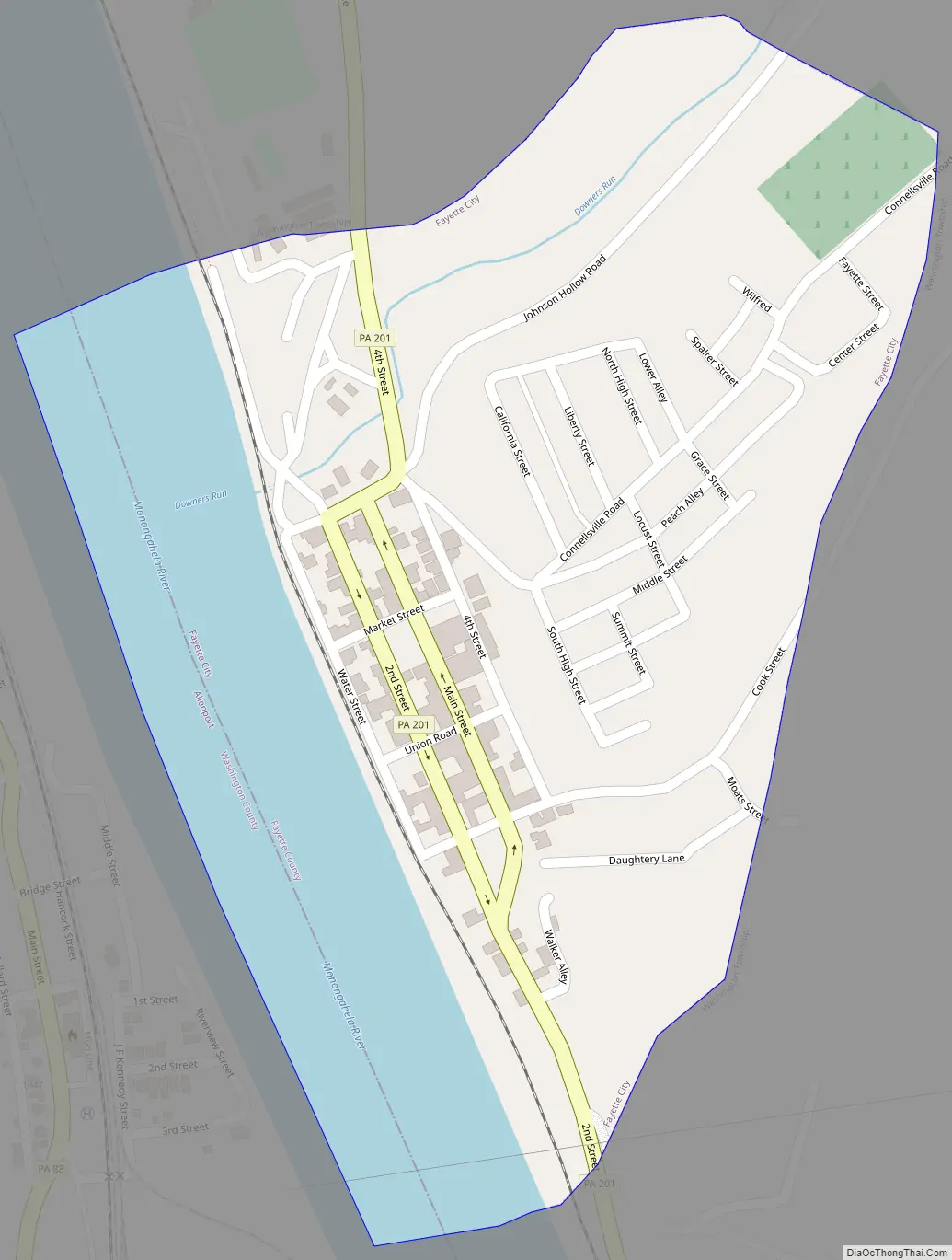
Fayette City Road Map
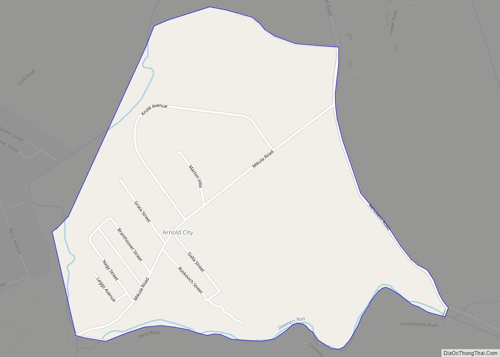
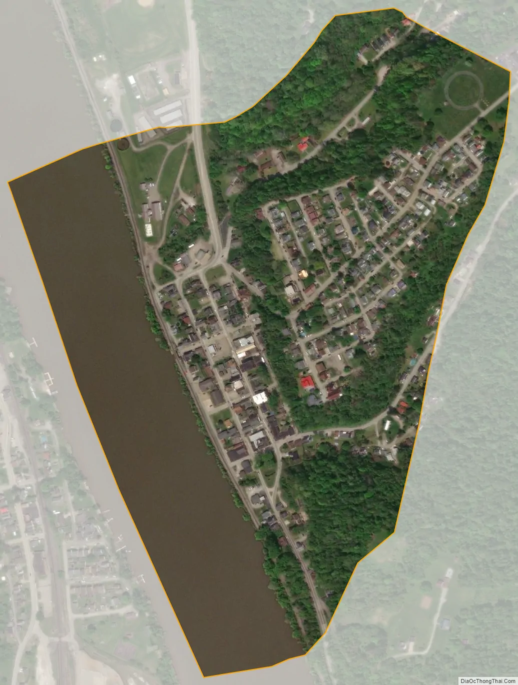
Fayette City city Satellite Map
Geography
Fayette City is located in northwestern Fayette County at 40°6′2″N 79°50′20″W / 40.10056°N 79.83889°W / 40.10056; -79.83889 (40.100647, -79.838913). It sits on the east bank of the Monongahela River, which forms the border with Washington County. The borough of Allenport is directly across the river, but the closest river crossing is the I-70 bridge, 3 miles (5 km) north at Belle Vernon. Pennsylvania Route 201 passes through Fayette City as Main Street (northbound) and Second Street (southbound). Uniontown, the Fayette County seat, is 17 miles (27 km) to the southeast via PA 201 and PA 51.
According to the United States Census Bureau, the borough has a total area of 0.25 square miles (0.66 km), of which 0.19 square miles (0.50 km) is land and 0.06 square miles (0.16 km), or 24.33%, is water.
Fayette City’s low elevation and location along the Monongahela River make it susceptible to flooding after heavy rains. Lamb Lick Run and Downers Run enter the Monongahela within the borough’s boundaries.
See also
Map of Pennsylvania State and its subdivision:- Adams
- Allegheny
- Armstrong
- Beaver
- Bedford
- Berks
- Blair
- Bradford
- Bucks
- Butler
- Cambria
- Cameron
- Carbon
- Centre
- Chester
- Clarion
- Clearfield
- Clinton
- Columbia
- Crawford
- Cumberland
- Dauphin
- Delaware
- Elk
- Erie
- Fayette
- Forest
- Franklin
- Fulton
- Greene
- Huntingdon
- Indiana
- Jefferson
- Juniata
- Lackawanna
- Lancaster
- Lawrence
- Lebanon
- Lehigh
- Luzerne
- Lycoming
- Mc Kean
- Mercer
- Mifflin
- Monroe
- Montgomery
- Montour
- Northampton
- Northumberland
- Perry
- Philadelphia
- Pike
- Potter
- Schuylkill
- Snyder
- Somerset
- Sullivan
- Susquehanna
- Tioga
- Union
- Venango
- Warren
- Washington
- Wayne
- Westmoreland
- Wyoming
- York
- Alabama
- Alaska
- Arizona
- Arkansas
- California
- Colorado
- Connecticut
- Delaware
- District of Columbia
- Florida
- Georgia
- Hawaii
- Idaho
- Illinois
- Indiana
- Iowa
- Kansas
- Kentucky
- Louisiana
- Maine
- Maryland
- Massachusetts
- Michigan
- Minnesota
- Mississippi
- Missouri
- Montana
- Nebraska
- Nevada
- New Hampshire
- New Jersey
- New Mexico
- New York
- North Carolina
- North Dakota
- Ohio
- Oklahoma
- Oregon
- Pennsylvania
- Rhode Island
- South Carolina
- South Dakota
- Tennessee
- Texas
- Utah
- Vermont
- Virginia
- Washington
- West Virginia
- Wisconsin
- Wyoming