Fleetwood, also called Schlegelschteddel in Pennsylvania Dutch, is a borough in Berks County, Pennsylvania, United States. The population was 4,085 at the 2010 census. It was home to the Fleetwood Metal Body company, an automobile coachbuilder purchased by Fisher Body and integrated into General Motors in 1931. The name lived on in the Cadillac Fleetwood automobile.
| Name: | Fleetwood borough |
|---|---|
| LSAD Code: | 21 |
| LSAD Description: | borough (suffix) |
| State: | Pennsylvania |
| County: | Berks County |
| Elevation: | 433 ft (132 m) |
| Total Area: | 1.05 sq mi (2.72 km²) |
| Land Area: | 1.04 sq mi (2.70 km²) |
| Water Area: | 0.01 sq mi (0.01 km²) |
| Total Population: | 4,049 |
| Population Density: | 3,878.35/sq mi (1,497.46/km²) |
| ZIP code: | 19522 |
| Area code: | 610 |
| FIPS code: | 4226280 |
| Website: | www.fleetwoodboro.com |
Online Interactive Map
Click on ![]() to view map in "full screen" mode.
to view map in "full screen" mode.
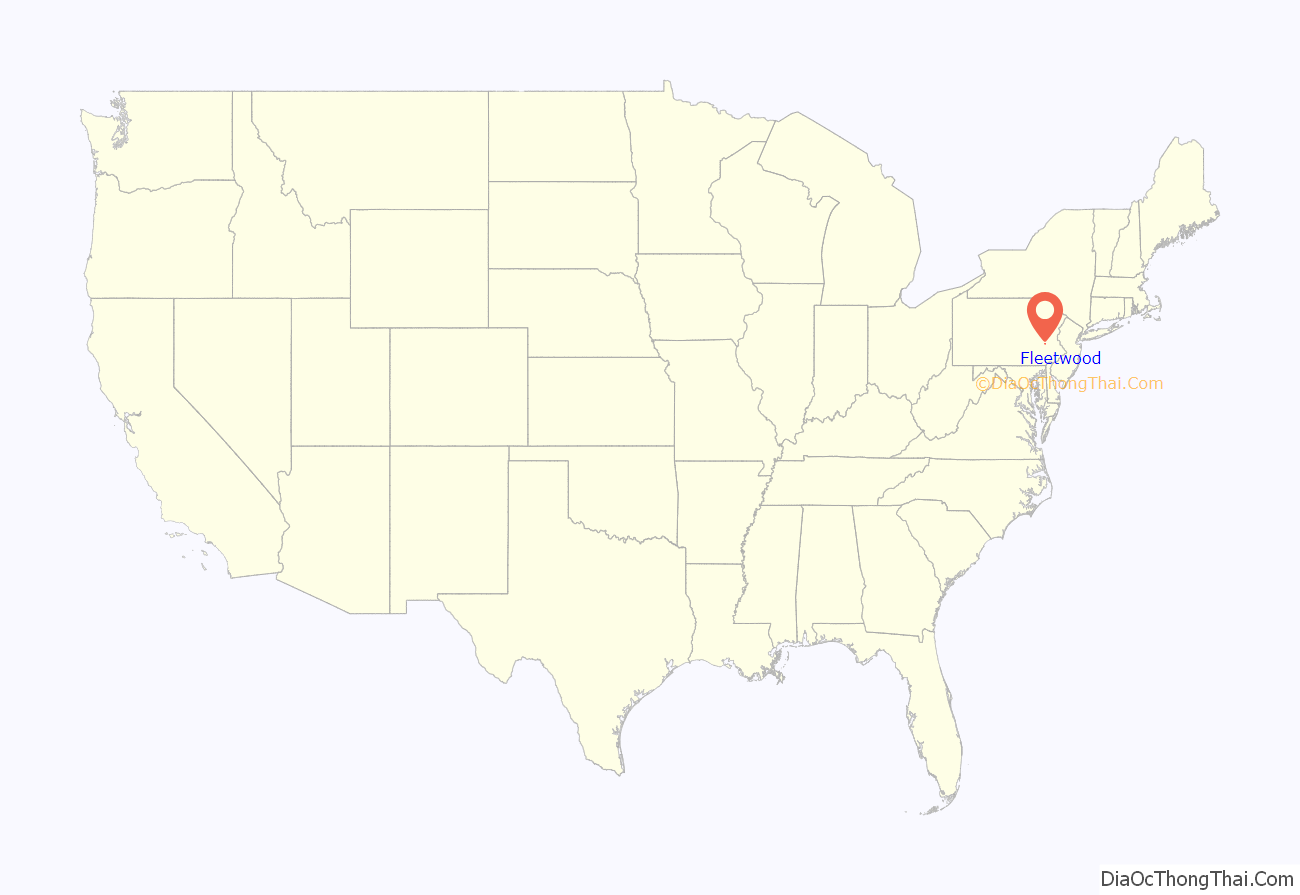
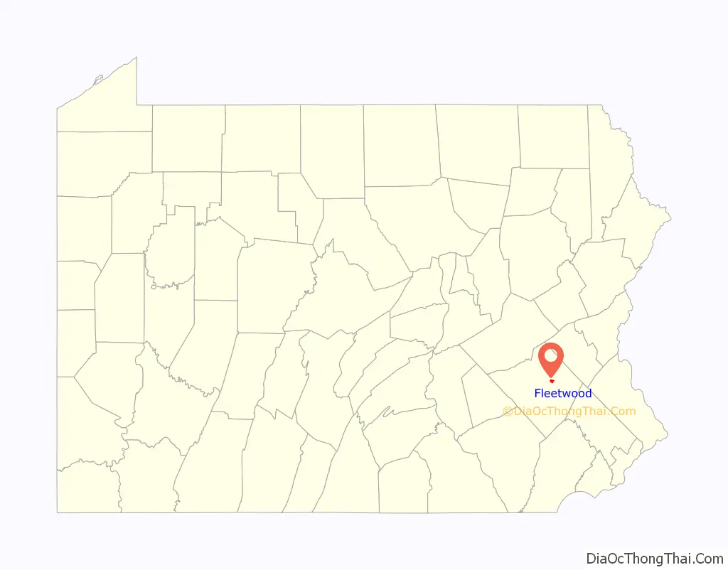
Fleetwood location map. Where is Fleetwood borough?
History
The First National Bank in Fleetwood was listed on the National Register of Historic Places in 2005.
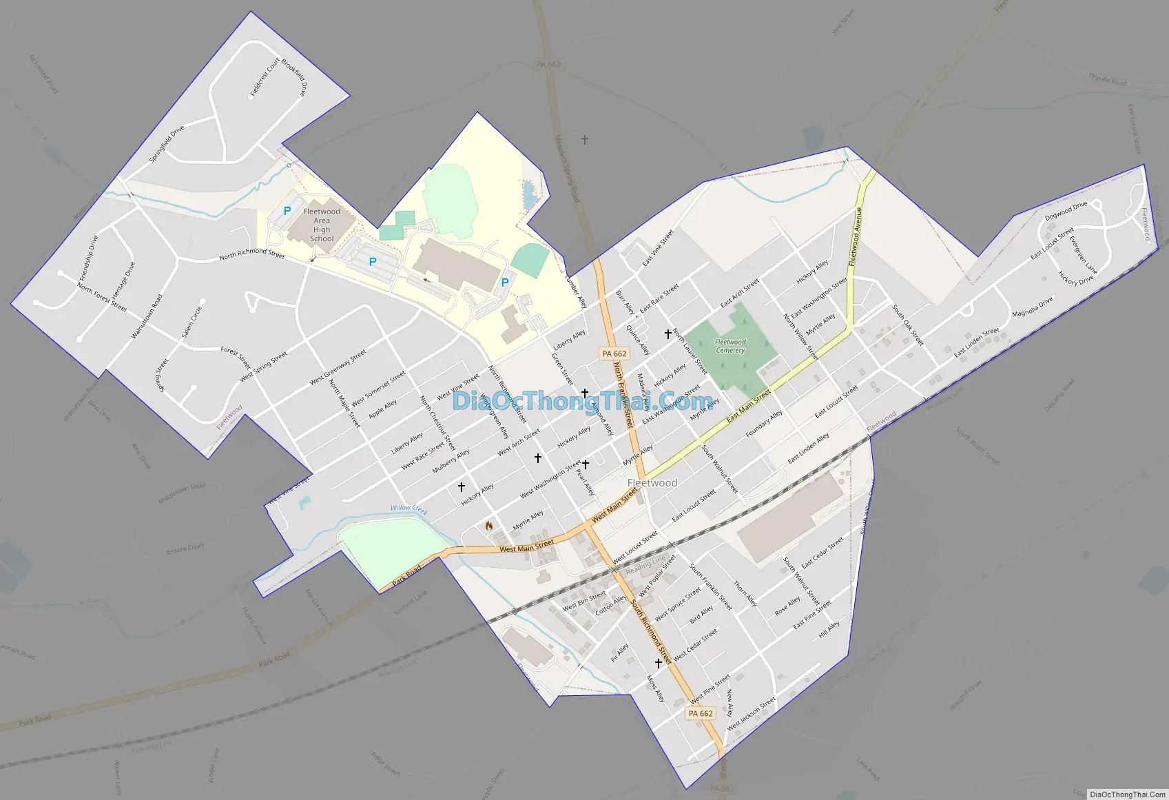
Fleetwood Road Map
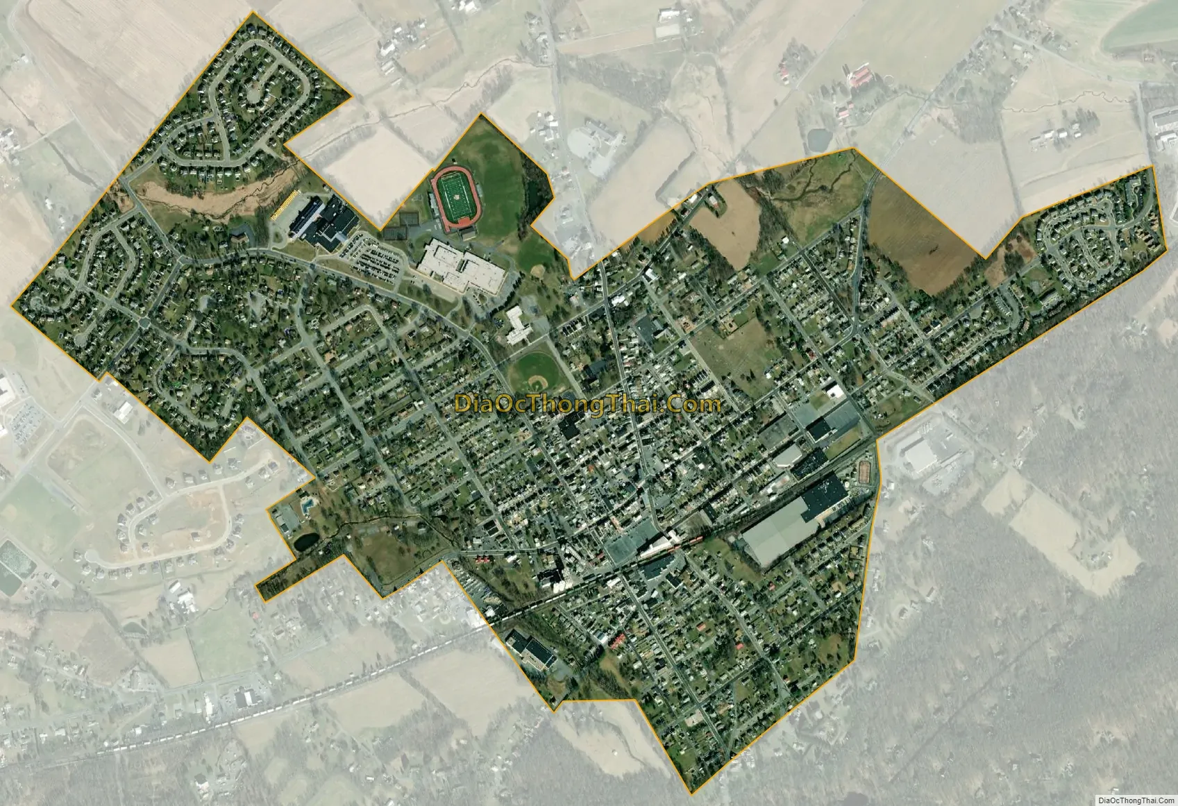
Fleetwood city Satellite Map
Geography
Fleetwood is located northeast of the center of Berks County at 40°27′17″N 75°49′8″W / 40.45472°N 75.81889°W / 40.45472; -75.81889 (40.454793, -75.818821). It is bordered on the east, west, and north by Richmond Township and on its short southern edge by Ruscombmanor Township. According to the U.S. Census Bureau, the borough has a total area of 1.0 square mile (2.7 km), of which 0.004 square miles (0.01 km), or 0.47%, is water.
See also
Map of Pennsylvania State and its subdivision:- Adams
- Allegheny
- Armstrong
- Beaver
- Bedford
- Berks
- Blair
- Bradford
- Bucks
- Butler
- Cambria
- Cameron
- Carbon
- Centre
- Chester
- Clarion
- Clearfield
- Clinton
- Columbia
- Crawford
- Cumberland
- Dauphin
- Delaware
- Elk
- Erie
- Fayette
- Forest
- Franklin
- Fulton
- Greene
- Huntingdon
- Indiana
- Jefferson
- Juniata
- Lackawanna
- Lancaster
- Lawrence
- Lebanon
- Lehigh
- Luzerne
- Lycoming
- Mc Kean
- Mercer
- Mifflin
- Monroe
- Montgomery
- Montour
- Northampton
- Northumberland
- Perry
- Philadelphia
- Pike
- Potter
- Schuylkill
- Snyder
- Somerset
- Sullivan
- Susquehanna
- Tioga
- Union
- Venango
- Warren
- Washington
- Wayne
- Westmoreland
- Wyoming
- York
- Alabama
- Alaska
- Arizona
- Arkansas
- California
- Colorado
- Connecticut
- Delaware
- District of Columbia
- Florida
- Georgia
- Hawaii
- Idaho
- Illinois
- Indiana
- Iowa
- Kansas
- Kentucky
- Louisiana
- Maine
- Maryland
- Massachusetts
- Michigan
- Minnesota
- Mississippi
- Missouri
- Montana
- Nebraska
- Nevada
- New Hampshire
- New Jersey
- New Mexico
- New York
- North Carolina
- North Dakota
- Ohio
- Oklahoma
- Oregon
- Pennsylvania
- Rhode Island
- South Carolina
- South Dakota
- Tennessee
- Texas
- Utah
- Vermont
- Virginia
- Washington
- West Virginia
- Wisconsin
- Wyoming


