Flemington is a borough in Clinton County, Pennsylvania, United States. The population was 1,330 at the 2010 census.
In 1770, Squire John Flemming, who later was a Revolutionary War soldier, purchased about 1650 acres situated between Bald Eagle Creek and the West branch of the Susquehanna River encompassing much of present day Lock Haven and Flemington (named after the family). The Flemings built a large house on the bank of the river close to the southern abutment of a nearby dam and it could be seen from the highway between Flemington and Lock Haven.
The Flemings were descended from the Earl of Wigton of Scotland, and had their own coat of arms. They were among the first settlers of the area.
| Name: | Flemington borough |
|---|---|
| LSAD Code: | 21 |
| LSAD Description: | borough (suffix) |
| State: | Pennsylvania |
| County: | Clinton County |
| Elevation: | 676 ft (206 m) |
| Total Area: | 0.46 sq mi (1.20 km²) |
| Land Area: | 0.46 sq mi (1.18 km²) |
| Water Area: | 0.01 sq mi (0.02 km²) |
| Total Population: | 1,271 |
| Population Density: | 2,787.28/sq mi (1,075.89/km²) |
| ZIP code: | 17745 |
| Area code: | 570 |
| FIPS code: | 4226296 |
| Website: | flemingtonboroughpa.org |
Online Interactive Map
Click on ![]() to view map in "full screen" mode.
to view map in "full screen" mode.
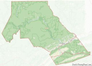
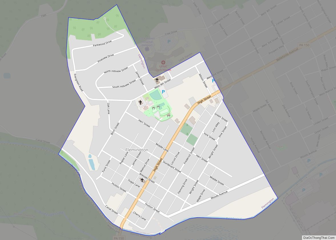
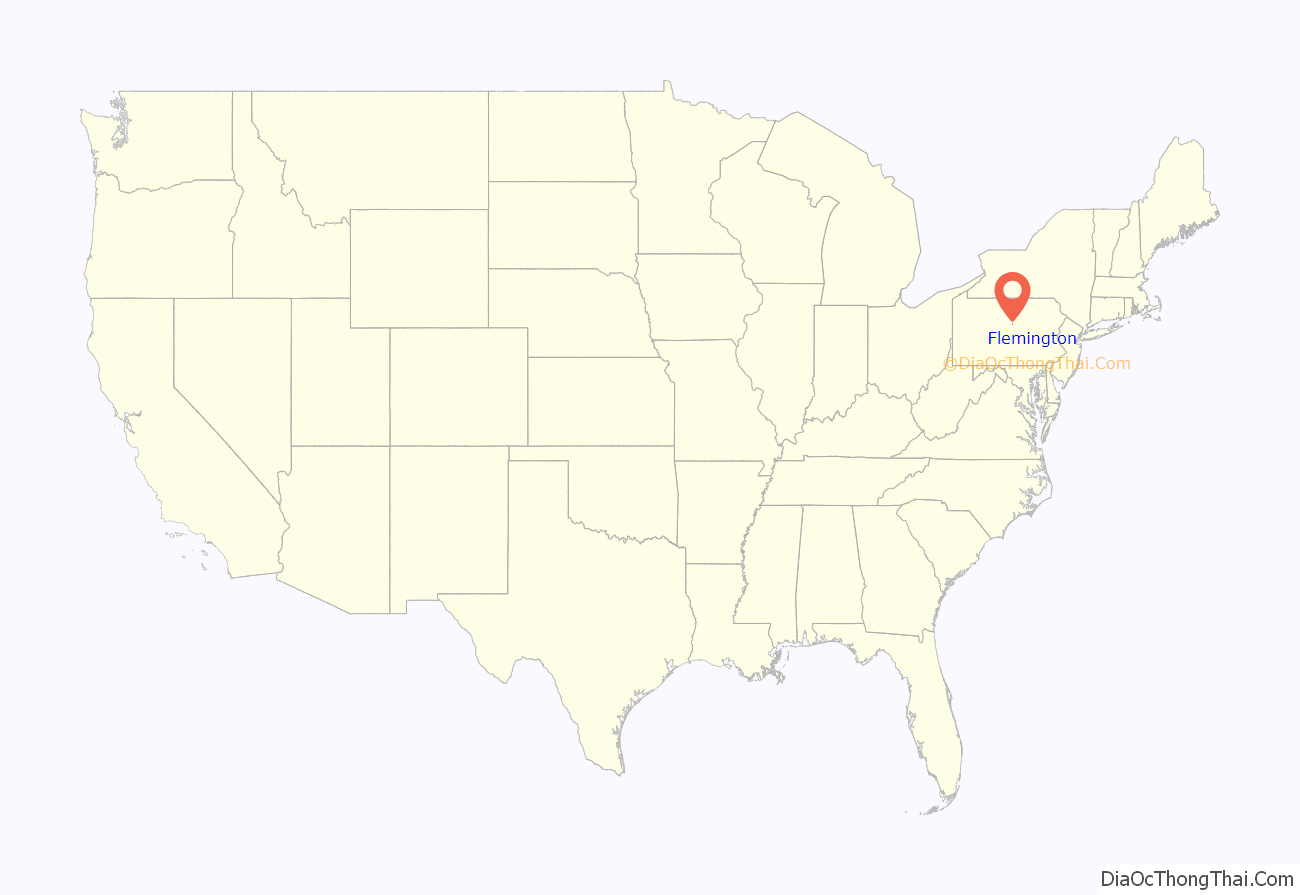
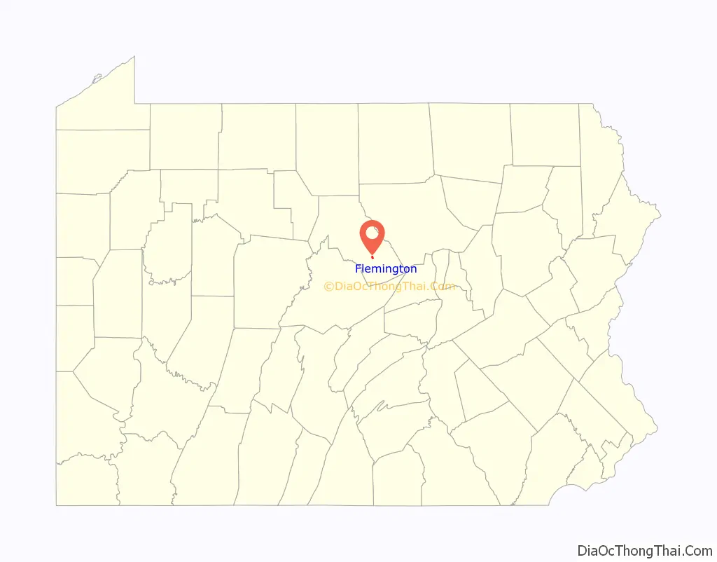
Flemington location map. Where is Flemington borough?
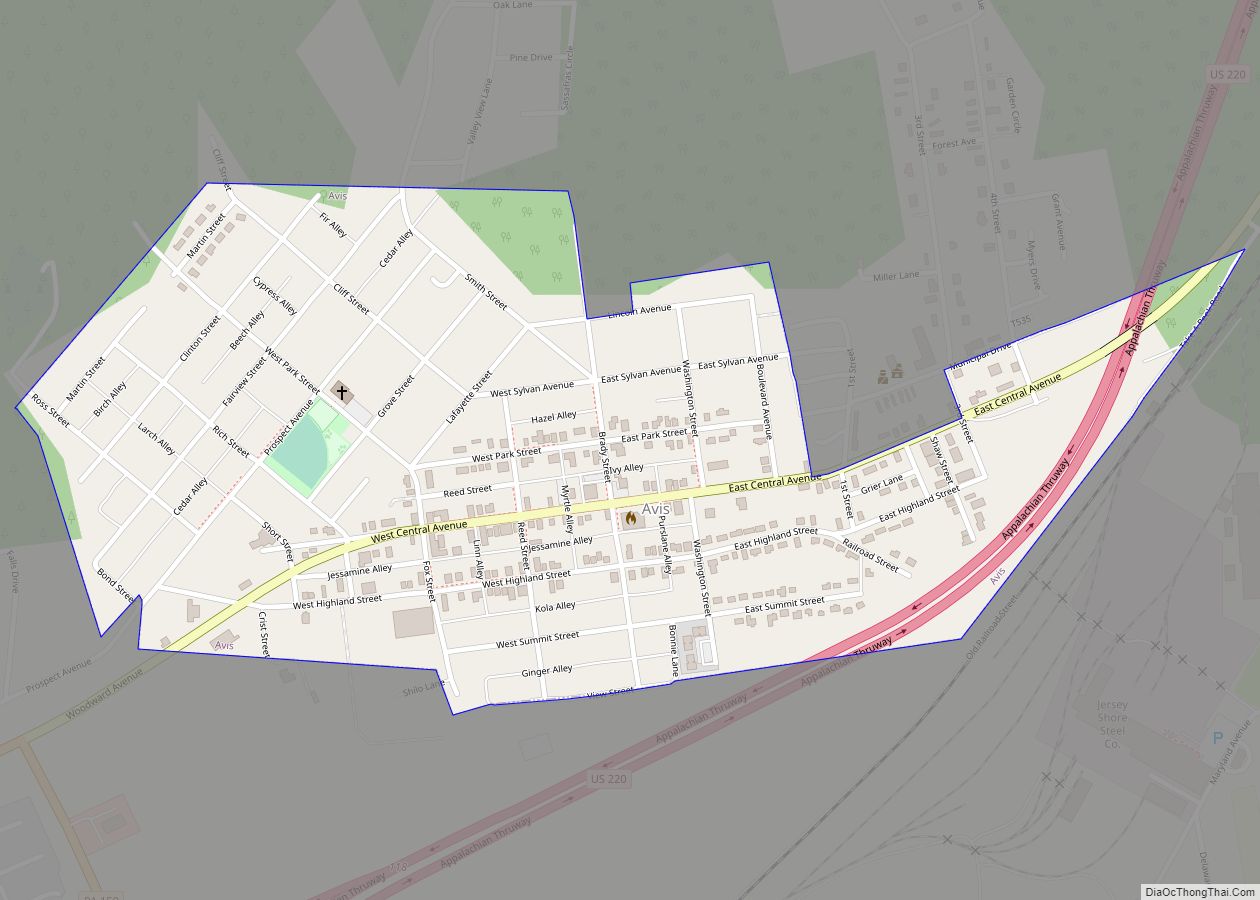
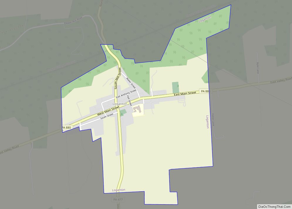
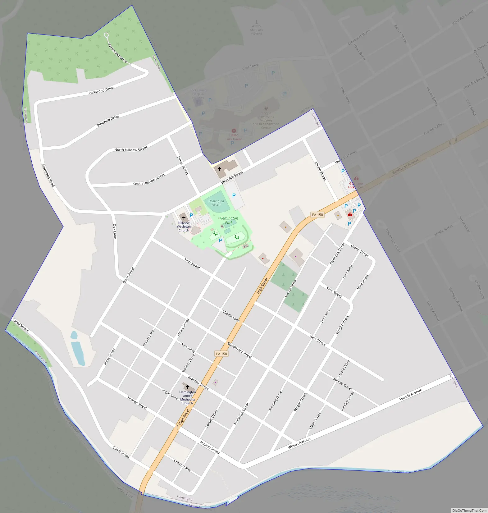
Flemington Road Map
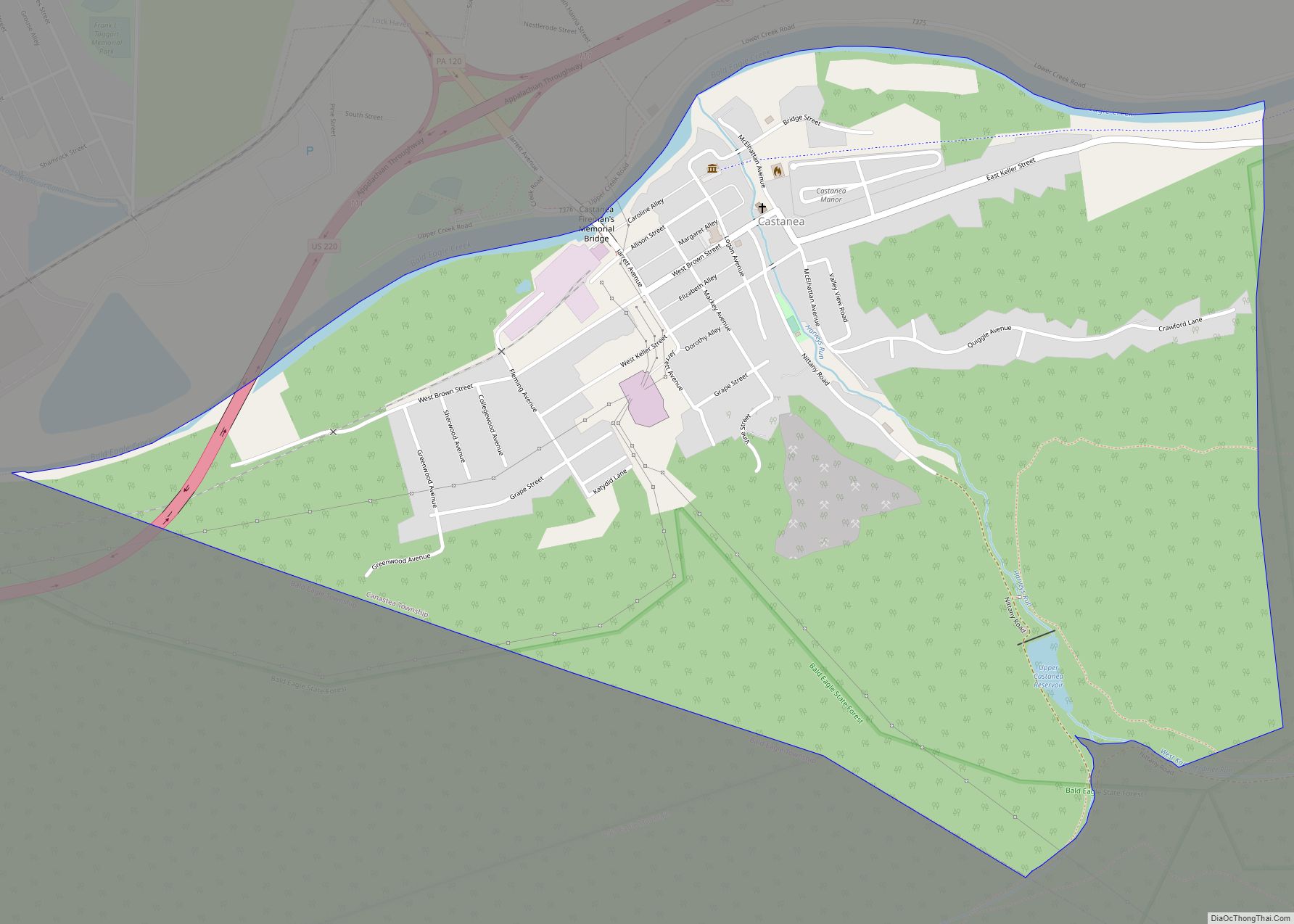
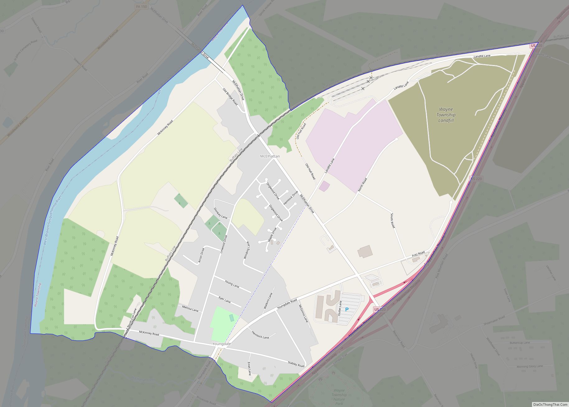
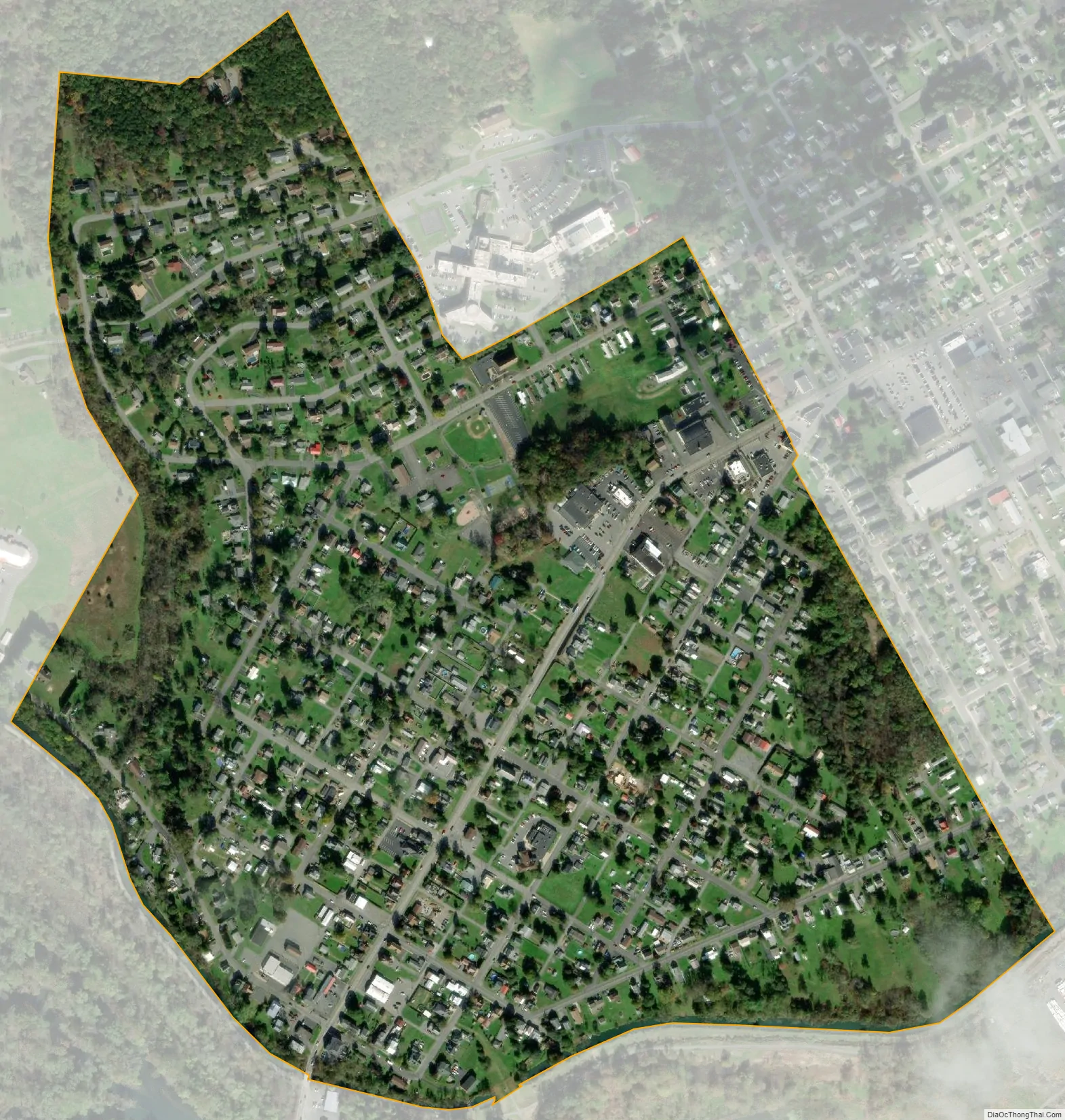
Flemington city Satellite Map
Geography
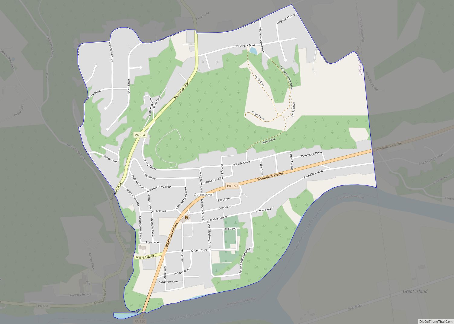
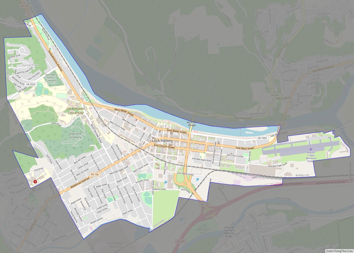
Flemington is located in southern Clinton County at 41°7′34″N 77°28′12″W / 41.12611°N 77.47000°W / 41.12611; -77.47000 (41.126246, -77.469943), along Bald Eagle Creek and the remnant of the Bald Eagle Crosscut Canal. It is bordered to the east by the city of Lock Haven, the county seat.
Pennsylvania Route 150 passes through the center of Flemington, leading northeast into Lock Haven and southwest 2 miles (3 km) to Mill Hall.
According to the United States Census Bureau, Flemington has a total area of 0.46 square miles (1.2 km), of which 0.008 square miles (0.02 km), or 1.30%, is water.
See also
Map of Pennsylvania State and its subdivision:- Adams
- Allegheny
- Armstrong
- Beaver
- Bedford
- Berks
- Blair
- Bradford
- Bucks
- Butler
- Cambria
- Cameron
- Carbon
- Centre
- Chester
- Clarion
- Clearfield
- Clinton
- Columbia
- Crawford
- Cumberland
- Dauphin
- Delaware
- Elk
- Erie
- Fayette
- Forest
- Franklin
- Fulton
- Greene
- Huntingdon
- Indiana
- Jefferson
- Juniata
- Lackawanna
- Lancaster
- Lawrence
- Lebanon
- Lehigh
- Luzerne
- Lycoming
- Mc Kean
- Mercer
- Mifflin
- Monroe
- Montgomery
- Montour
- Northampton
- Northumberland
- Perry
- Philadelphia
- Pike
- Potter
- Schuylkill
- Snyder
- Somerset
- Sullivan
- Susquehanna
- Tioga
- Union
- Venango
- Warren
- Washington
- Wayne
- Westmoreland
- Wyoming
- York
- Alabama
- Alaska
- Arizona
- Arkansas
- California
- Colorado
- Connecticut
- Delaware
- District of Columbia
- Florida
- Georgia
- Hawaii
- Idaho
- Illinois
- Indiana
- Iowa
- Kansas
- Kentucky
- Louisiana
- Maine
- Maryland
- Massachusetts
- Michigan
- Minnesota
- Mississippi
- Missouri
- Montana
- Nebraska
- Nevada
- New Hampshire
- New Jersey
- New Mexico
- New York
- North Carolina
- North Dakota
- Ohio
- Oklahoma
- Oregon
- Pennsylvania
- Rhode Island
- South Carolina
- South Dakota
- Tennessee
- Texas
- Utah
- Vermont
- Virginia
- Washington
- West Virginia
- Wisconsin
- Wyoming