Flourtown is a census-designated place (CDP) in Springfield Township, Montgomery County, Pennsylvania. Flourtown is adjacent to the neighborhoods of Erdenheim, Oreland, Whitemarsh, and Chestnut Hill. The population of Flourtown was 4,538 at the 2010 census. Its ZIP code is 19031.
| Name: | Flourtown CDP |
|---|---|
| LSAD Code: | 57 |
| LSAD Description: | CDP (suffix) |
| State: | Pennsylvania |
| County: | Montgomery County |
| Elevation: | 187 ft (57 m) |
| Total Area: | 1.41 sq mi (3.66 km²) |
| Land Area: | 1.41 sq mi (3.66 km²) |
| Water Area: | 0.00 sq mi (0.00 km²) |
| Total Population: | 4,786 |
| Population Density: | 3,391.92/sq mi (1,309.30/km²) |
| ZIP code: | 19031 |
| FIPS code: | 4226376 |
Online Interactive Map
Click on ![]() to view map in "full screen" mode.
to view map in "full screen" mode.
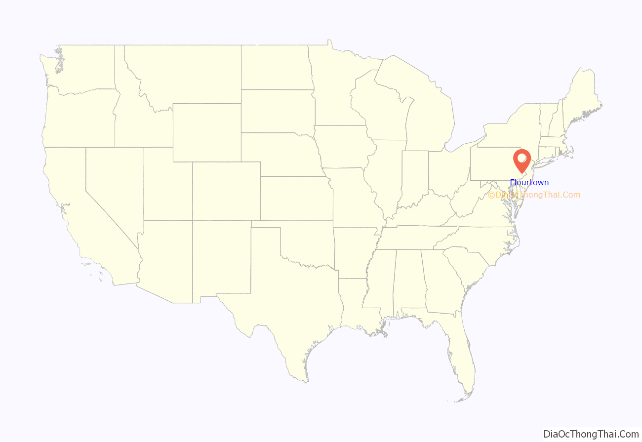
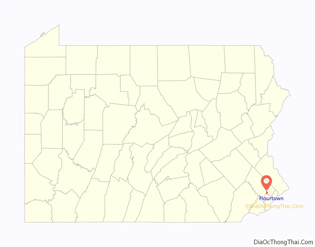
Flourtown location map. Where is Flourtown CDP?
History
Founded in 1743, the community was so named on account of a flouring mill near the original town site. In 1940, the Pennsylvania guide, compiled by the Writers’ Program of the Works Progress Administration, noted that regional farmers had previously come to the area to buy supplies and “have their wheat ground by the millers along the Wissahickon. Most of the houses are old, many dating to Colonial times. Flourtown’s sole commercial activity is carried on by a few antique shops.”
The Black Horse Inn was listed on the National Register of Historic Places in 2005.
Scenes for the QVC Original movie Holly and the Hot Chocolate were shot in the parking lot of the Executive Motor shop and Scoogi’s Italian Restaurant, both at the intersection of Bethlehem Pike and Arlingham Road.
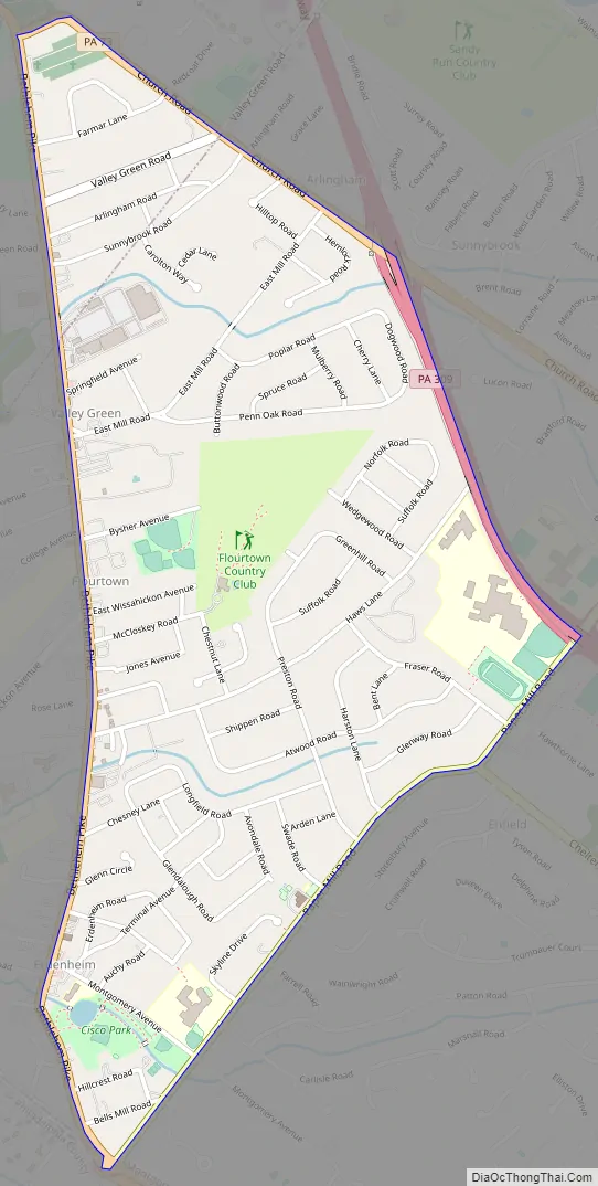
Flourtown Road Map
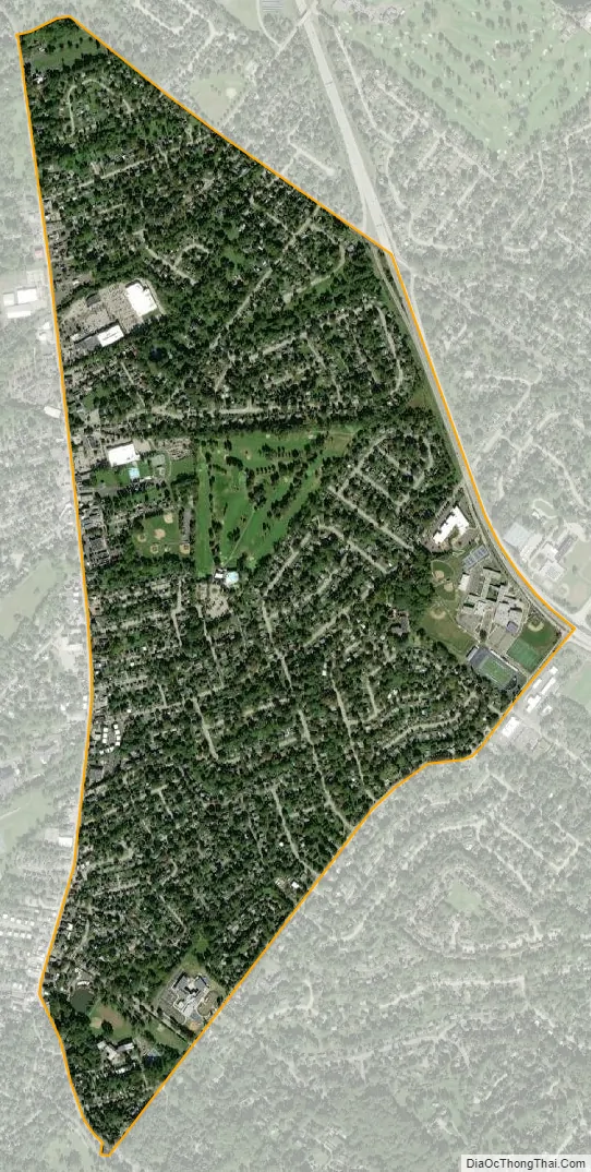
Flourtown city Satellite Map
Geography
Flourtown is located at 40°6′19″N 75°12′27″W / 40.10528°N 75.20750°W / 40.10528; -75.20750 (40.105377, -75.207524). According to the U.S. Census Bureau, the CDP has a total area of 1.4 square miles (3.6 km), all land.
See also
Map of Pennsylvania State and its subdivision:- Adams
- Allegheny
- Armstrong
- Beaver
- Bedford
- Berks
- Blair
- Bradford
- Bucks
- Butler
- Cambria
- Cameron
- Carbon
- Centre
- Chester
- Clarion
- Clearfield
- Clinton
- Columbia
- Crawford
- Cumberland
- Dauphin
- Delaware
- Elk
- Erie
- Fayette
- Forest
- Franklin
- Fulton
- Greene
- Huntingdon
- Indiana
- Jefferson
- Juniata
- Lackawanna
- Lancaster
- Lawrence
- Lebanon
- Lehigh
- Luzerne
- Lycoming
- Mc Kean
- Mercer
- Mifflin
- Monroe
- Montgomery
- Montour
- Northampton
- Northumberland
- Perry
- Philadelphia
- Pike
- Potter
- Schuylkill
- Snyder
- Somerset
- Sullivan
- Susquehanna
- Tioga
- Union
- Venango
- Warren
- Washington
- Wayne
- Westmoreland
- Wyoming
- York
- Alabama
- Alaska
- Arizona
- Arkansas
- California
- Colorado
- Connecticut
- Delaware
- District of Columbia
- Florida
- Georgia
- Hawaii
- Idaho
- Illinois
- Indiana
- Iowa
- Kansas
- Kentucky
- Louisiana
- Maine
- Maryland
- Massachusetts
- Michigan
- Minnesota
- Mississippi
- Missouri
- Montana
- Nebraska
- Nevada
- New Hampshire
- New Jersey
- New Mexico
- New York
- North Carolina
- North Dakota
- Ohio
- Oklahoma
- Oregon
- Pennsylvania
- Rhode Island
- South Carolina
- South Dakota
- Tennessee
- Texas
- Utah
- Vermont
- Virginia
- Washington
- West Virginia
- Wisconsin
- Wyoming


