Folcroft is a borough in Delaware County, Pennsylvania, United States. The population was 6,606 at the 2010 census, down from 6,978 at the 2000 census.
| Name: | Folcroft borough |
|---|---|
| LSAD Code: | 21 |
| LSAD Description: | borough (suffix) |
| State: | Pennsylvania |
| County: | Delaware County |
| Elevation: | 33 ft (10 m) |
| Total Area: | 1.42 sq mi (3.68 km²) |
| Land Area: | 1.25 sq mi (3.23 km²) |
| Water Area: | 0.18 sq mi (0.46 km²) |
| Total Population: | 6,792 |
| Population Density: | 5,455.42/sq mi (2,105.89/km²) |
| ZIP code: | 19032 |
| FIPS code: | 4226408 |
| Website: | www.folcroftborough.com |
Online Interactive Map
Click on ![]() to view map in "full screen" mode.
to view map in "full screen" mode.
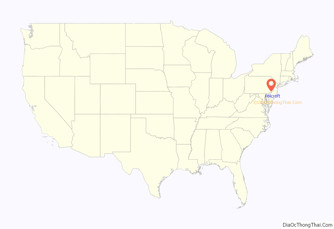
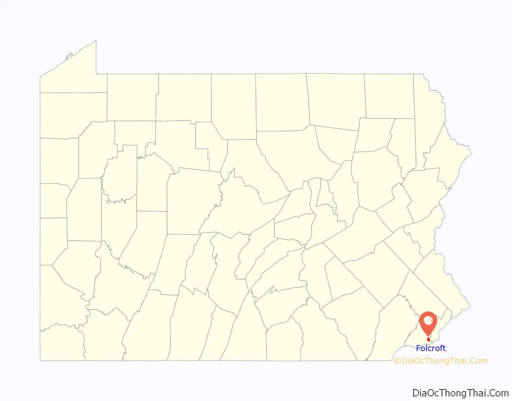
Folcroft location map. Where is Folcroft borough?
History
The origin of Folcroft can be traced back to the mid 1600s and early settlements of New Sweden. Delmar Drive was once part of Calcon Hook Road. Calcon is the Swedish word for “turkey,” and Hook is the Swedish word for “road”. The original road was a Leni Lenape trail called “Turkey’s Neck Trail” by the settlers, and was no more than 4 feet (1.2 m) wide.
Originally productive farmlands, it became a residential suburb of Philadelphia with the construction of the Pennsylvania Railroad through the area in 1874. A passenger stop was built and named Folcroft, or “leafy fields”.
Originally part of Darby Township, Folcroft was incorporated as a borough in 1922.
In August 1963, the Baker family became the first African-American family to purchase a house in Folcroft in the Delmar village complex. When local white residents learned of the purchase, the house was vandalized and a crowd of over a thousand people prevented the Baker family from entering their home. 100 Pennsylvania State Troopers were required to control the crowd and allow the Bakers to enter their home. The harassment and vandalism continued and forced the Bakers to sell the home and move in 1966.
In 2020, Folcroft became the first municipality in Delaware County to decriminalize the possession of small amounts of marijuana.
On January 3, 2022, Franny DiCicco was sworn in as the first female Mayor of Folcroft in its 100 year history. The incoming Mayor won election along with Democratic candidates in a clean sweep of the open seats of the borough on Election Day 2021.
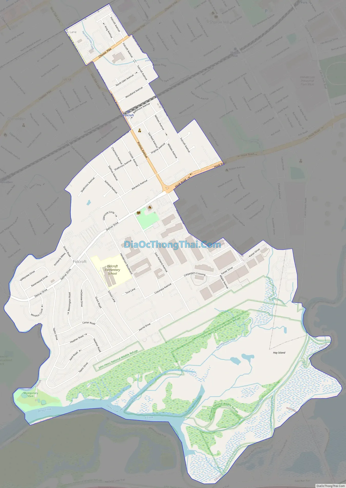
Folcroft Road Map
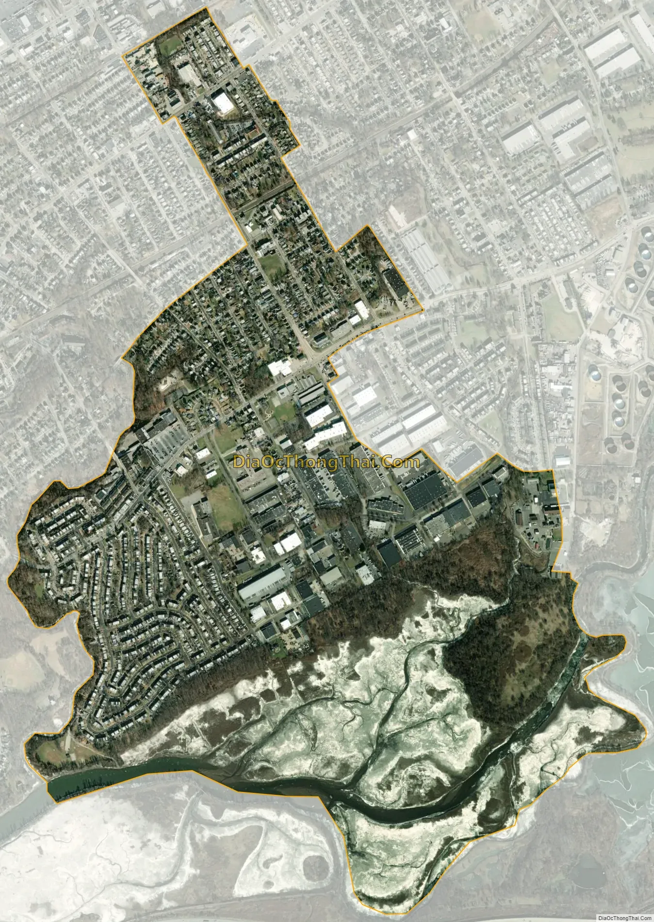
Folcroft city Satellite Map
Geography
Folcroft is located in southeastern Delaware County at 39°53′36″N 75°16′51″W / 39.89333°N 75.28083°W / 39.89333; -75.28083 (39.893212, -75.280881). It is bordered to the south by Darby Creek and to the west by its tributary, Muckinipattis Creek. To the south across Darby Creek is Tinicum Township. Neighboring boroughs are Norwood to the west, Glenolden to the northwest, Collingdale to the north, and Sharon Hill to the northeast. Darby Township is also to the northeast, and the city of Philadelphia is to the east, across Darby Creek.
According to the United States Census Bureau, Folcroft has a total area of 1.4 square miles (3.7 km), of which 1.2 square miles (3.2 km) is land and 0.2 square miles (0.5 km), or 12.38%, is water.
A branch of the Delaware County Courthouse makes its home in Folcroft, and Folcroft Station is a stop on the Wilmington/Newark Line of the SEPTA Regional Rail commuter railroad system.
Climate
The climate in this area is characterized by hot, humid summers and generally mild to cool winters. According to the Köppen Climate Classification system, Folcroft has a humid subtropical climate, abbreviated “Cfa” on climate maps. The borough straddles the boundary between hardiness zones 7a and 7b. Interactive Map | USDA Plant Hardiness Zone Map Archived 2021-06-18 at the Wayback Machine
See also
Map of Pennsylvania State and its subdivision:- Adams
- Allegheny
- Armstrong
- Beaver
- Bedford
- Berks
- Blair
- Bradford
- Bucks
- Butler
- Cambria
- Cameron
- Carbon
- Centre
- Chester
- Clarion
- Clearfield
- Clinton
- Columbia
- Crawford
- Cumberland
- Dauphin
- Delaware
- Elk
- Erie
- Fayette
- Forest
- Franklin
- Fulton
- Greene
- Huntingdon
- Indiana
- Jefferson
- Juniata
- Lackawanna
- Lancaster
- Lawrence
- Lebanon
- Lehigh
- Luzerne
- Lycoming
- Mc Kean
- Mercer
- Mifflin
- Monroe
- Montgomery
- Montour
- Northampton
- Northumberland
- Perry
- Philadelphia
- Pike
- Potter
- Schuylkill
- Snyder
- Somerset
- Sullivan
- Susquehanna
- Tioga
- Union
- Venango
- Warren
- Washington
- Wayne
- Westmoreland
- Wyoming
- York
- Alabama
- Alaska
- Arizona
- Arkansas
- California
- Colorado
- Connecticut
- Delaware
- District of Columbia
- Florida
- Georgia
- Hawaii
- Idaho
- Illinois
- Indiana
- Iowa
- Kansas
- Kentucky
- Louisiana
- Maine
- Maryland
- Massachusetts
- Michigan
- Minnesota
- Mississippi
- Missouri
- Montana
- Nebraska
- Nevada
- New Hampshire
- New Jersey
- New Mexico
- New York
- North Carolina
- North Dakota
- Ohio
- Oklahoma
- Oregon
- Pennsylvania
- Rhode Island
- South Carolina
- South Dakota
- Tennessee
- Texas
- Utah
- Vermont
- Virginia
- Washington
- West Virginia
- Wisconsin
- Wyoming


