Forksville is a borough in Sullivan County, Pennsylvania, United States. The population was 110 at the 2020 census. It is the home of the 150-year-old Forksville General Store, down the road from the Sullivan County Fairgrounds, and near Worlds End State Park. The name comes from the confluence of Little Loyalsock Creek and Loyalsock Creek within the borough.
| Name: | Forksville borough |
|---|---|
| LSAD Code: | 21 |
| LSAD Description: | borough (suffix) |
| State: | Pennsylvania |
| County: | Sullivan County |
| Elevation: | 1,001 ft (305 m) |
| Total Area: | 1.57 sq mi (4.08 km²) |
| Land Area: | 1.57 sq mi (4.08 km²) |
| Water Area: | 0.00 sq mi (0.00 km²) |
| Total Population: | 111 |
| Population Density: | 70.57/sq mi (27.24/km²) |
| Area code: | 570 |
| FIPS code: | 4226760 |
Online Interactive Map
Click on ![]() to view map in "full screen" mode.
to view map in "full screen" mode.
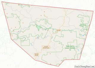
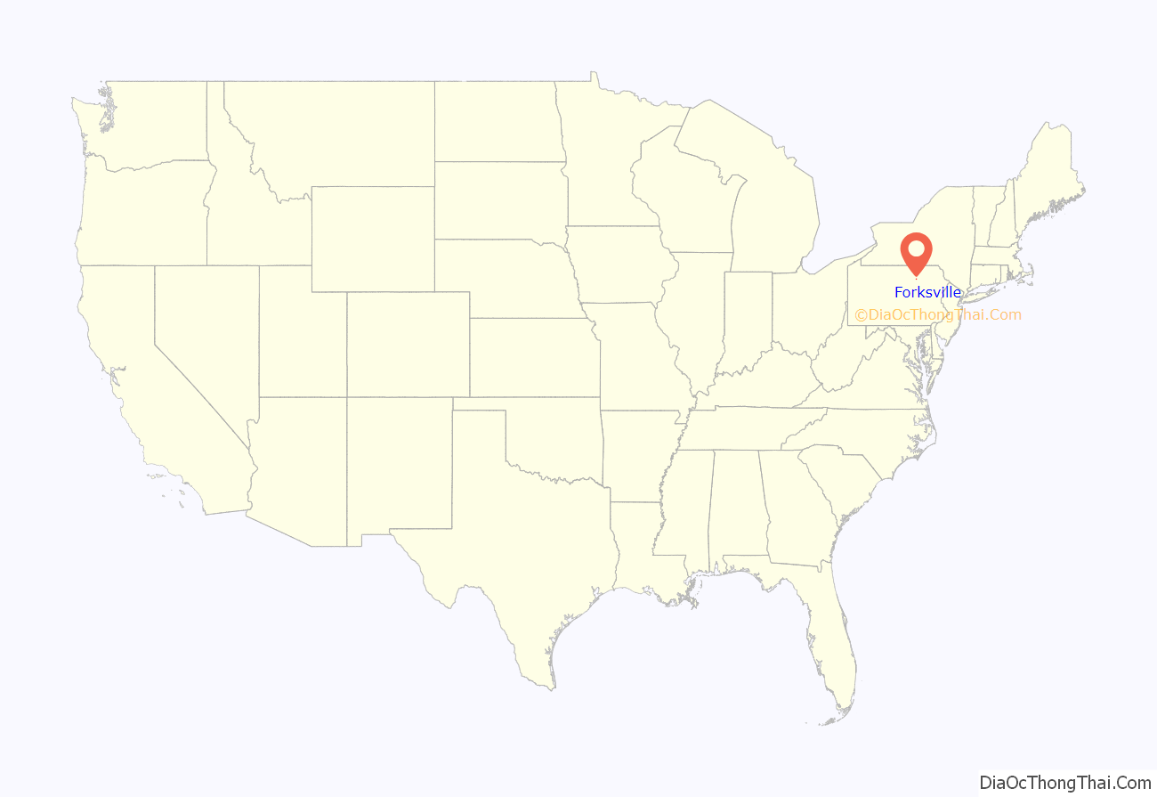
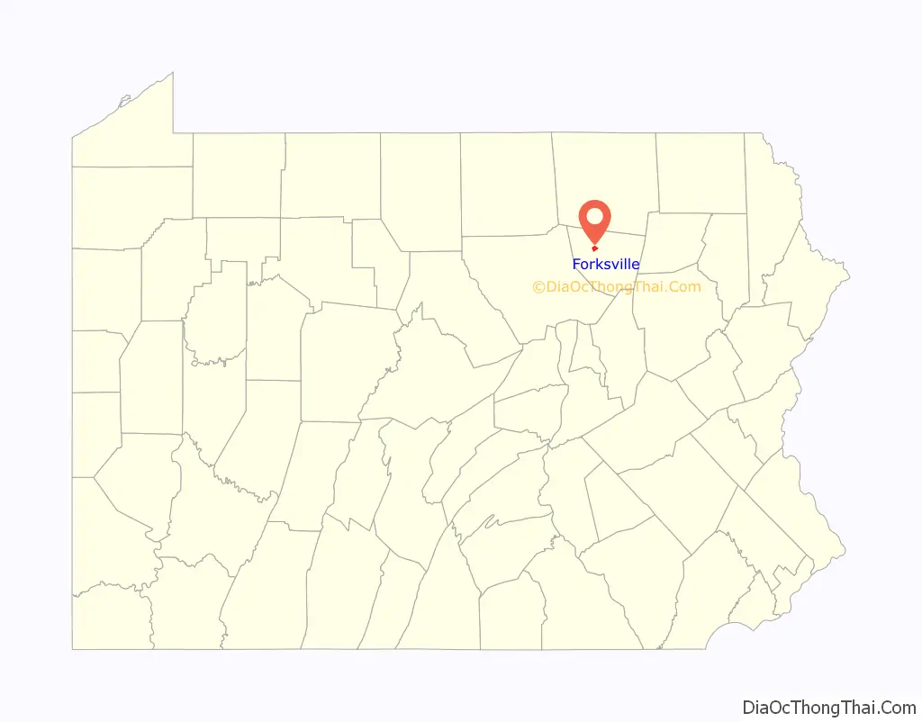
Forksville location map. Where is Forksville borough?
History
The Forksville Covered Bridge was added to the National Register of Historic Places in 1980. Forksville was first permanently settled by William Molyneaux, John Warren and Powell Bird. A sawmill was built in the Forksville area in 1810. Forksville was formed from Forks Township in 1880.
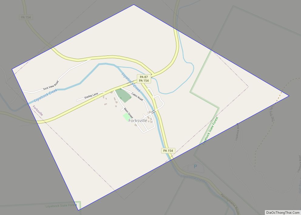
Forksville Road Map
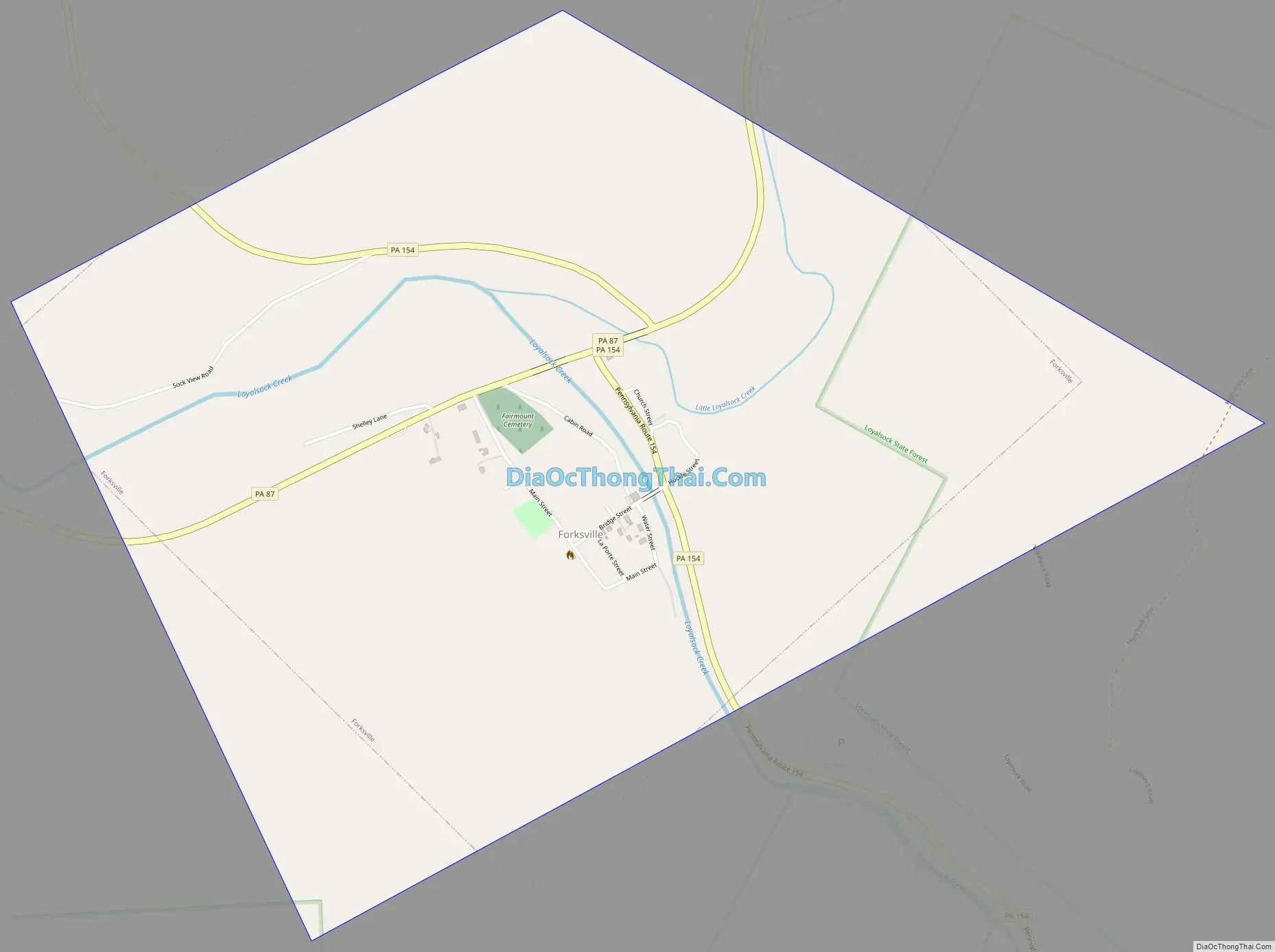
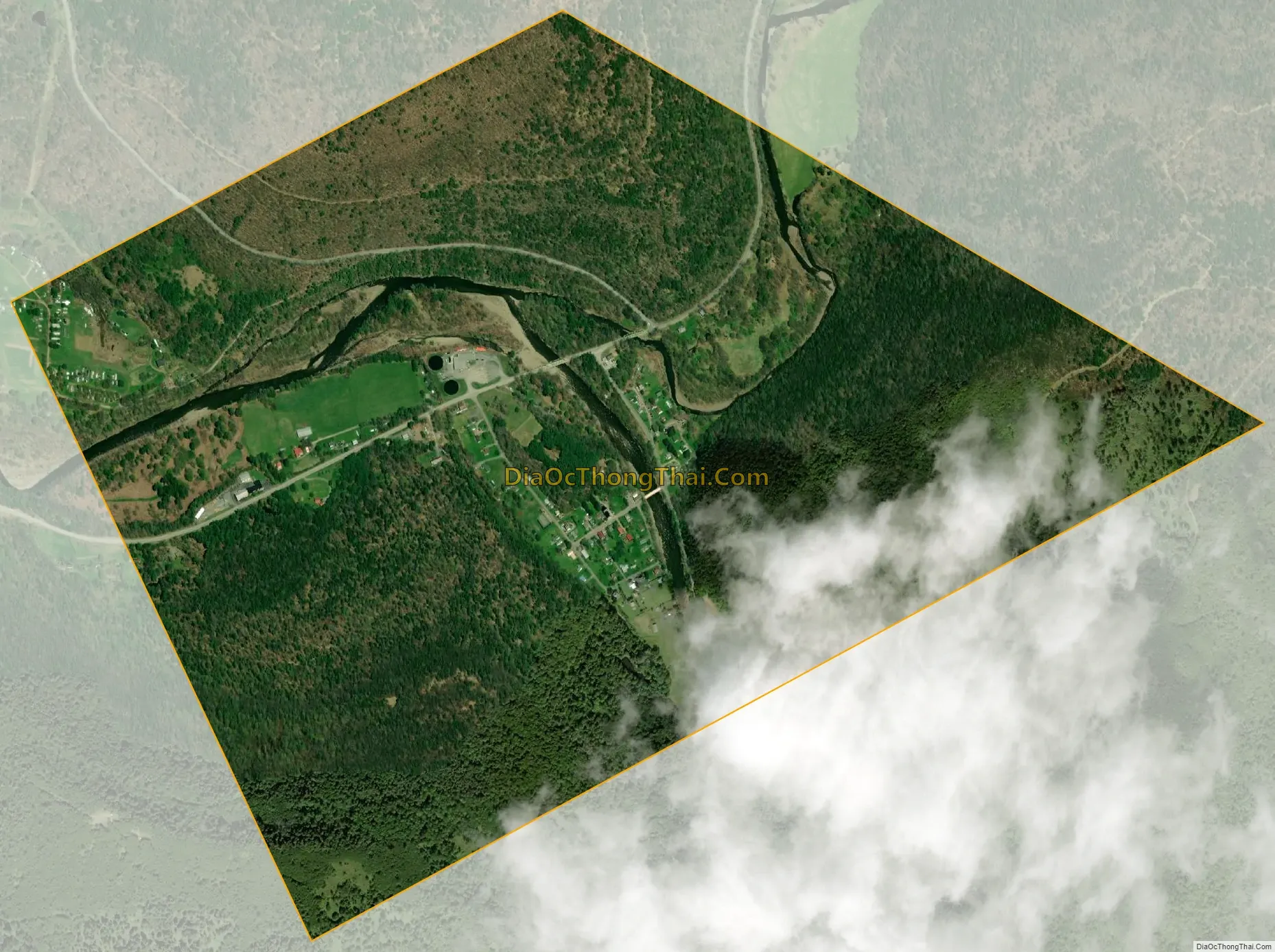
Forksville city Satellite Map
Geography
According to the United States Census Bureau, the borough has a total area of 1.5 square miles (3.9 km), all land.
See also
Map of Pennsylvania State and its subdivision:- Adams
- Allegheny
- Armstrong
- Beaver
- Bedford
- Berks
- Blair
- Bradford
- Bucks
- Butler
- Cambria
- Cameron
- Carbon
- Centre
- Chester
- Clarion
- Clearfield
- Clinton
- Columbia
- Crawford
- Cumberland
- Dauphin
- Delaware
- Elk
- Erie
- Fayette
- Forest
- Franklin
- Fulton
- Greene
- Huntingdon
- Indiana
- Jefferson
- Juniata
- Lackawanna
- Lancaster
- Lawrence
- Lebanon
- Lehigh
- Luzerne
- Lycoming
- Mc Kean
- Mercer
- Mifflin
- Monroe
- Montgomery
- Montour
- Northampton
- Northumberland
- Perry
- Philadelphia
- Pike
- Potter
- Schuylkill
- Snyder
- Somerset
- Sullivan
- Susquehanna
- Tioga
- Union
- Venango
- Warren
- Washington
- Wayne
- Westmoreland
- Wyoming
- York
- Alabama
- Alaska
- Arizona
- Arkansas
- California
- Colorado
- Connecticut
- Delaware
- District of Columbia
- Florida
- Georgia
- Hawaii
- Idaho
- Illinois
- Indiana
- Iowa
- Kansas
- Kentucky
- Louisiana
- Maine
- Maryland
- Massachusetts
- Michigan
- Minnesota
- Mississippi
- Missouri
- Montana
- Nebraska
- Nevada
- New Hampshire
- New Jersey
- New Mexico
- New York
- North Carolina
- North Dakota
- Ohio
- Oklahoma
- Oregon
- Pennsylvania
- Rhode Island
- South Carolina
- South Dakota
- Tennessee
- Texas
- Utah
- Vermont
- Virginia
- Washington
- West Virginia
- Wisconsin
- Wyoming