Laporte is a borough and the county seat of Sullivan County, Pennsylvania, United States. The population was 320 at the 2020 census. It is the county seat of Sullivan County. Laporte is surrounded by Laporte Township. It was named for John Laporte. It is the smallest county seat in Pennsylvania by population (as of the 2000 Census), and in 1969 was one of the two smallest in the United States.
| Name: | Laporte borough |
|---|---|
| LSAD Code: | 21 |
| LSAD Description: | borough (suffix) |
| State: | Pennsylvania |
| County: | Sullivan County |
| Elevation: | 1,972 ft (601 m) |
| Total Area: | 1.23 sq mi (3.19 km²) |
| Land Area: | 1.07 sq mi (2.76 km²) |
| Water Area: | 0.16 sq mi (0.42 km²) |
| Total Population: | 314 |
| Population Density: | 294.01/sq mi (113.56/km²) |
| ZIP code: | 18626 |
| Area code: | 570 Exchange: 946 |
| FIPS code: | 4241512 |
| Website: | www.laportepa.com |
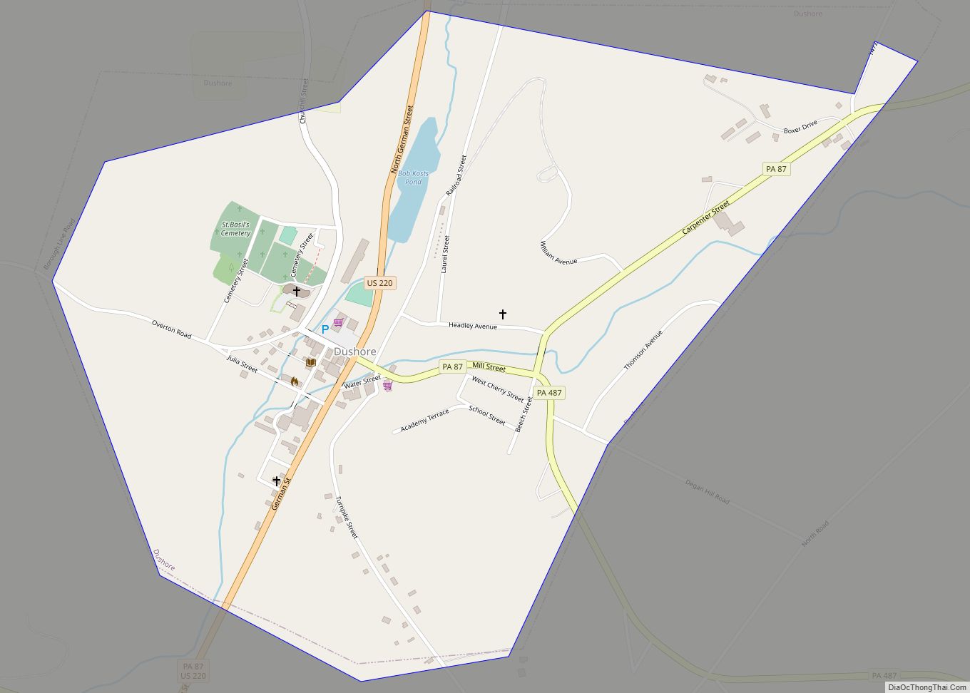
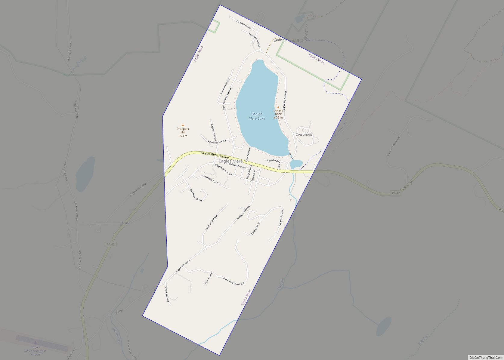
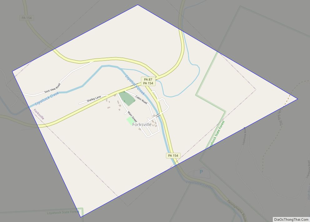
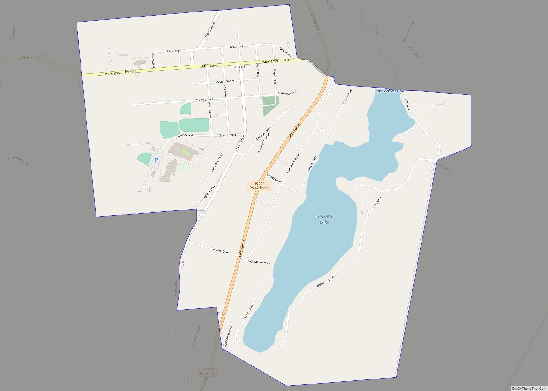
Online Interactive Map
Click on ![]() to view map in "full screen" mode.
to view map in "full screen" mode.
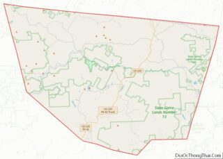
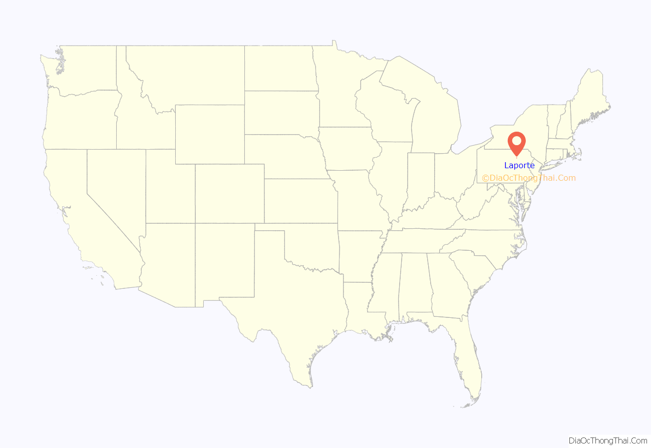
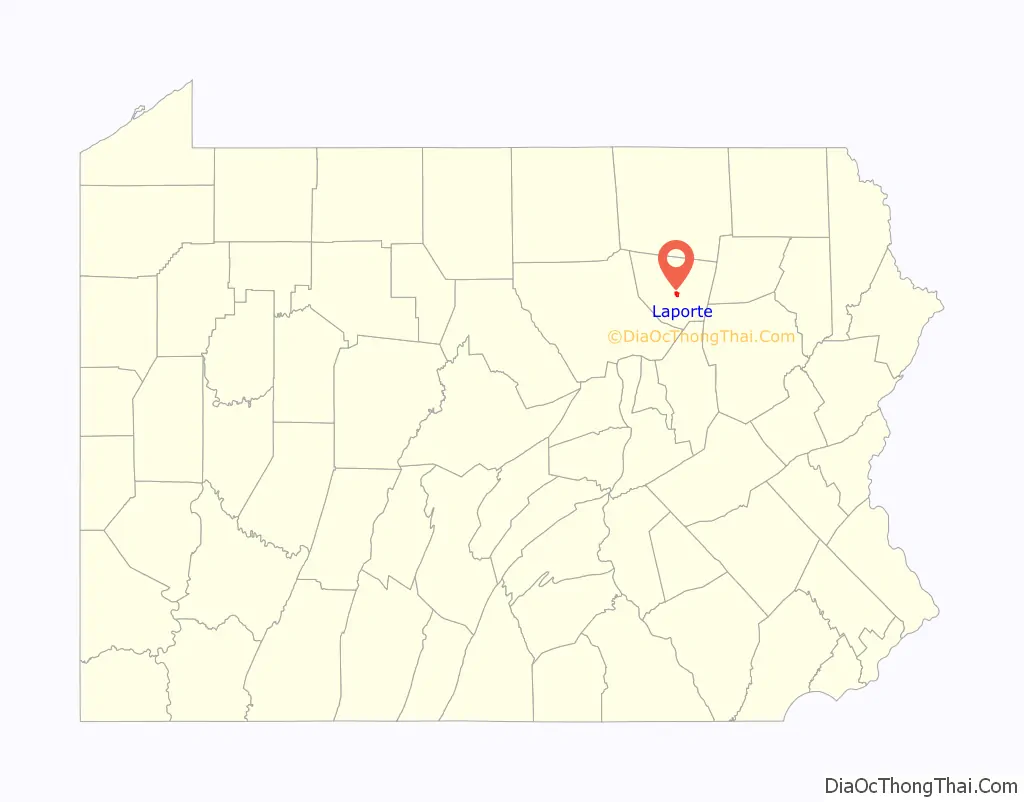
Laporte location map. Where is Laporte borough?
History
The Pennsylvania Guide, compiled by the Writers’ Program of the Works Progress Administration, described Laporte in 1940 as:
The Sullivan County Courthouse was added to the National Register of Historic Places in 1978.
Laporte Road Map
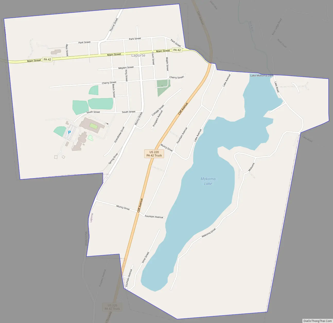
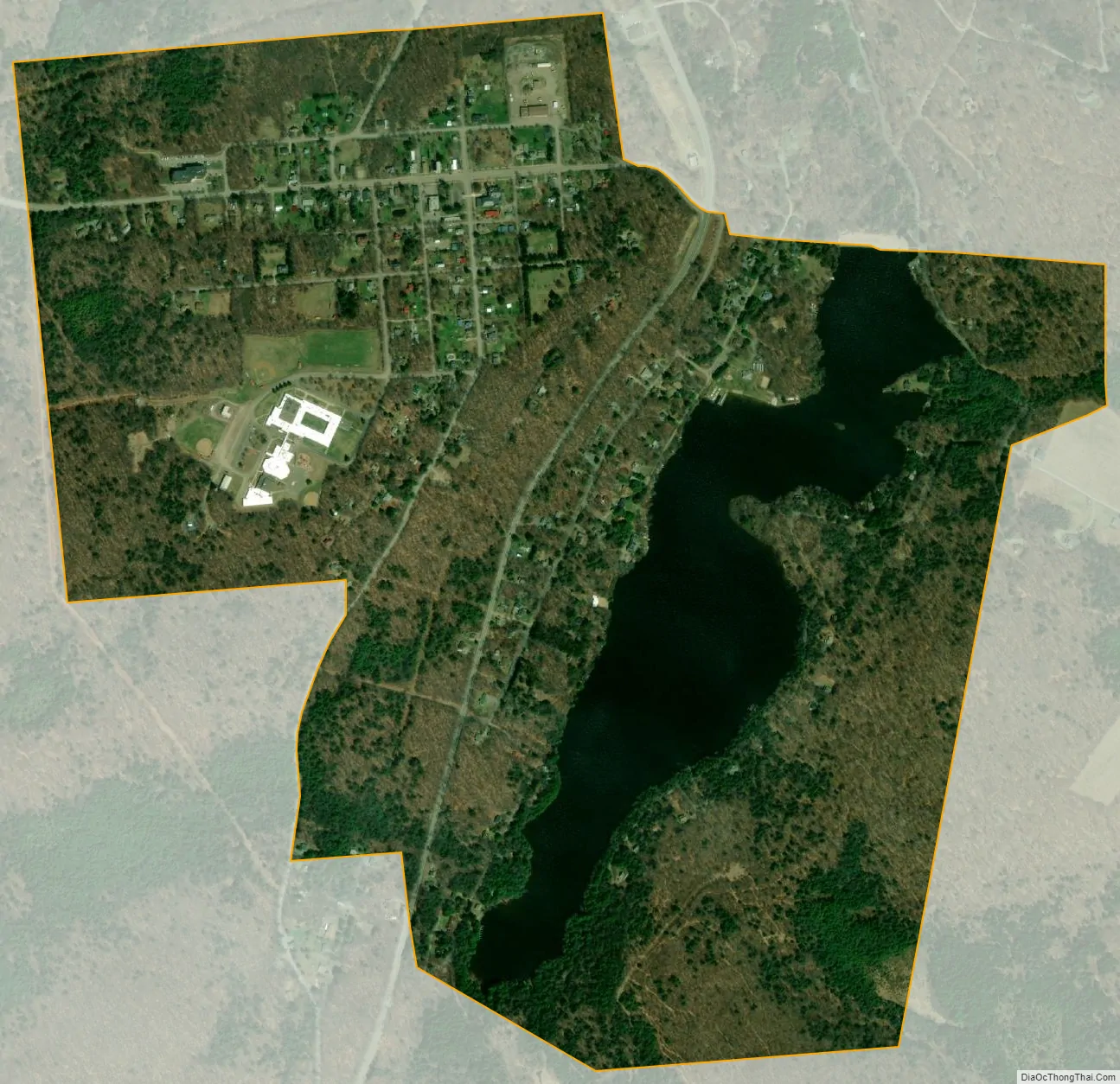
Laporte city Satellite Map
Geography
According to the United States Census Bureau, the borough has a total area of 1.3 square miles (3.4 km), of which 1.1 square miles (2.8 km) is land and 0.2 square miles (0.52 km) (12.50%) is water. Within the borough lies Lake Mokoma.
See also
Map of Pennsylvania State and its subdivision:- Adams
- Allegheny
- Armstrong
- Beaver
- Bedford
- Berks
- Blair
- Bradford
- Bucks
- Butler
- Cambria
- Cameron
- Carbon
- Centre
- Chester
- Clarion
- Clearfield
- Clinton
- Columbia
- Crawford
- Cumberland
- Dauphin
- Delaware
- Elk
- Erie
- Fayette
- Forest
- Franklin
- Fulton
- Greene
- Huntingdon
- Indiana
- Jefferson
- Juniata
- Lackawanna
- Lancaster
- Lawrence
- Lebanon
- Lehigh
- Luzerne
- Lycoming
- Mc Kean
- Mercer
- Mifflin
- Monroe
- Montgomery
- Montour
- Northampton
- Northumberland
- Perry
- Philadelphia
- Pike
- Potter
- Schuylkill
- Snyder
- Somerset
- Sullivan
- Susquehanna
- Tioga
- Union
- Venango
- Warren
- Washington
- Wayne
- Westmoreland
- Wyoming
- York
- Alabama
- Alaska
- Arizona
- Arkansas
- California
- Colorado
- Connecticut
- Delaware
- District of Columbia
- Florida
- Georgia
- Hawaii
- Idaho
- Illinois
- Indiana
- Iowa
- Kansas
- Kentucky
- Louisiana
- Maine
- Maryland
- Massachusetts
- Michigan
- Minnesota
- Mississippi
- Missouri
- Montana
- Nebraska
- Nevada
- New Hampshire
- New Jersey
- New Mexico
- New York
- North Carolina
- North Dakota
- Ohio
- Oklahoma
- Oregon
- Pennsylvania
- Rhode Island
- South Carolina
- South Dakota
- Tennessee
- Texas
- Utah
- Vermont
- Virginia
- Washington
- West Virginia
- Wisconsin
- Wyoming