Fort Washington is a census-designated place and suburb of Philadelphia in Montgomery County, Pennsylvania, United States. The population was 5,446 at the 2010 census.
| Name: | Fort Washington CDP |
|---|---|
| LSAD Code: | 57 |
| LSAD Description: | CDP (suffix) |
| State: | Pennsylvania |
| County: | Montgomery County |
| Elevation: | 233 ft (71 m) |
| Total Area: | 3.25 sq mi (8.43 km²) |
| Land Area: | 3.25 sq mi (8.43 km²) |
| Water Area: | 0.00 sq mi (0.00 km²) |
| Total Population: | 5,910 |
| Population Density: | 1,816.23/sq mi (701.26/km²) |
| ZIP code: | 19034 |
| FIPS code: | 4226872 |
Online Interactive Map
Click on ![]() to view map in "full screen" mode.
to view map in "full screen" mode.
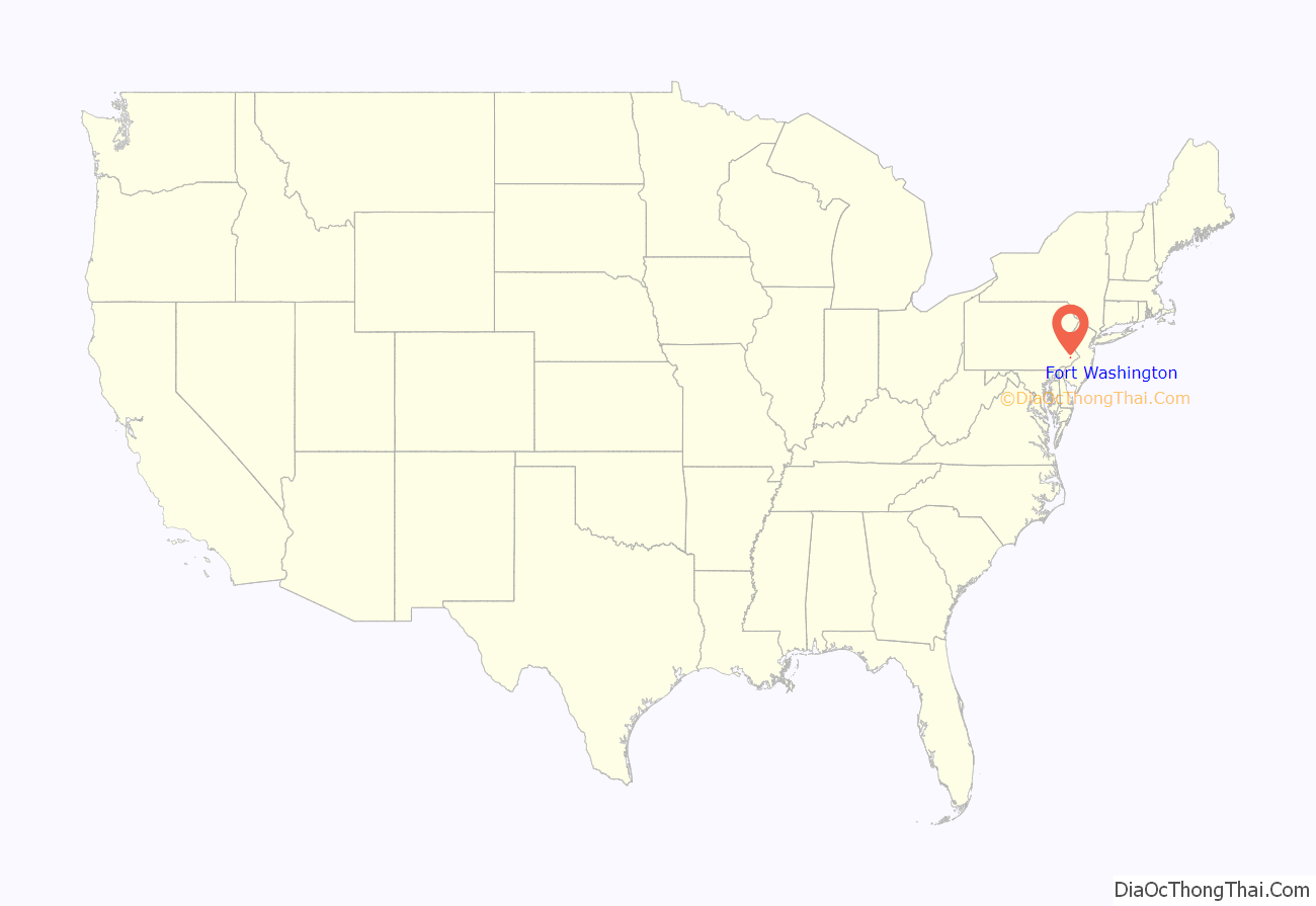
Fort Washington location map. Where is Fort Washington CDP?
History
Prior to the Revolutionary War the Fort Washington area was settled by many German immigrants. One such person was Philip Engard who immigrated in 1728. Engard purchased 100 acres (40 ha) on what was to be named Susquehanna Road and Fort Washington Avenue. By the mid-18th century the area came to be known as Engardtown, and Fort Washington Avenue was originally called Engardtown Road. The house built by Philip Engard is listed as the “Engard Family Home – 1765” in the Upper Dublin Township Open Space & Environmental Resource Protection Plan – 2005, as part of the Upper Dublin Historical Properties #25.
American Revolutionary War
During the Philadelphia campaign of the American Revolutionary War, George Washington and the Continental Army were encamped here after their October 4, 1777 defeat at the Battle of Germantown, and immediately prior to their march to Valley Forge. From December 5–8, 1777, the Battle of White Marsh was fought here between British and American forces. Throughout the encampment, Washington was headquartered at the Emlen House, built by Quaker George Emlen in 1745. British commander General William Howe observed the American lines from the bell tower of St. Thomas’ Episcopal Church (at Bethlehem Pike and Camp Hill Road), site of the British encampment on December 5. Today, Fort Washington State Park contains the area in which the primary American defenses were situated.
Great Train Wreck of 1856
On July 17, 1856, Fort Washington was the site of one of the worst train accidents in the United States when two North Pennsylvania Railroad trains collided with one another near the Sandy Run station (later renamed to Camp Hill, now the defunct Fellwick Station). The exact number of deaths is uncertain, but 59 were killed instantly and dozens more perished from their injuries. Many of the dead were children from St. Michael’s Roman Catholic Church from the Kensington section of Philadelphia, who were traveling to Sheaff’s Woods, a park in the Fort Washington area, for a Sunday school picnic.
Incorporation into Upper Dublin Township
On January 1, 1946, the Township of Upper Dublin was created, and in doing so, encompassed Fort Washington along with nine other communities. Parts of Fort Washington were also incorporated into Whitemarsh Township.
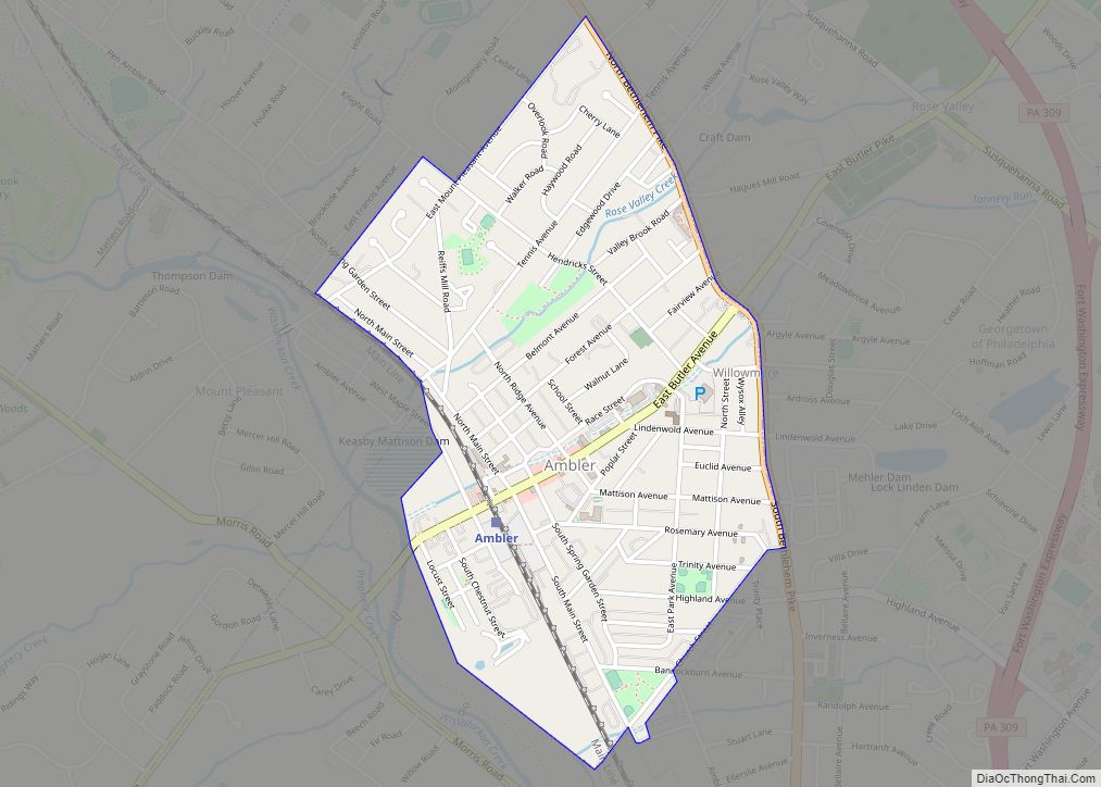
Fort Washington Road Map
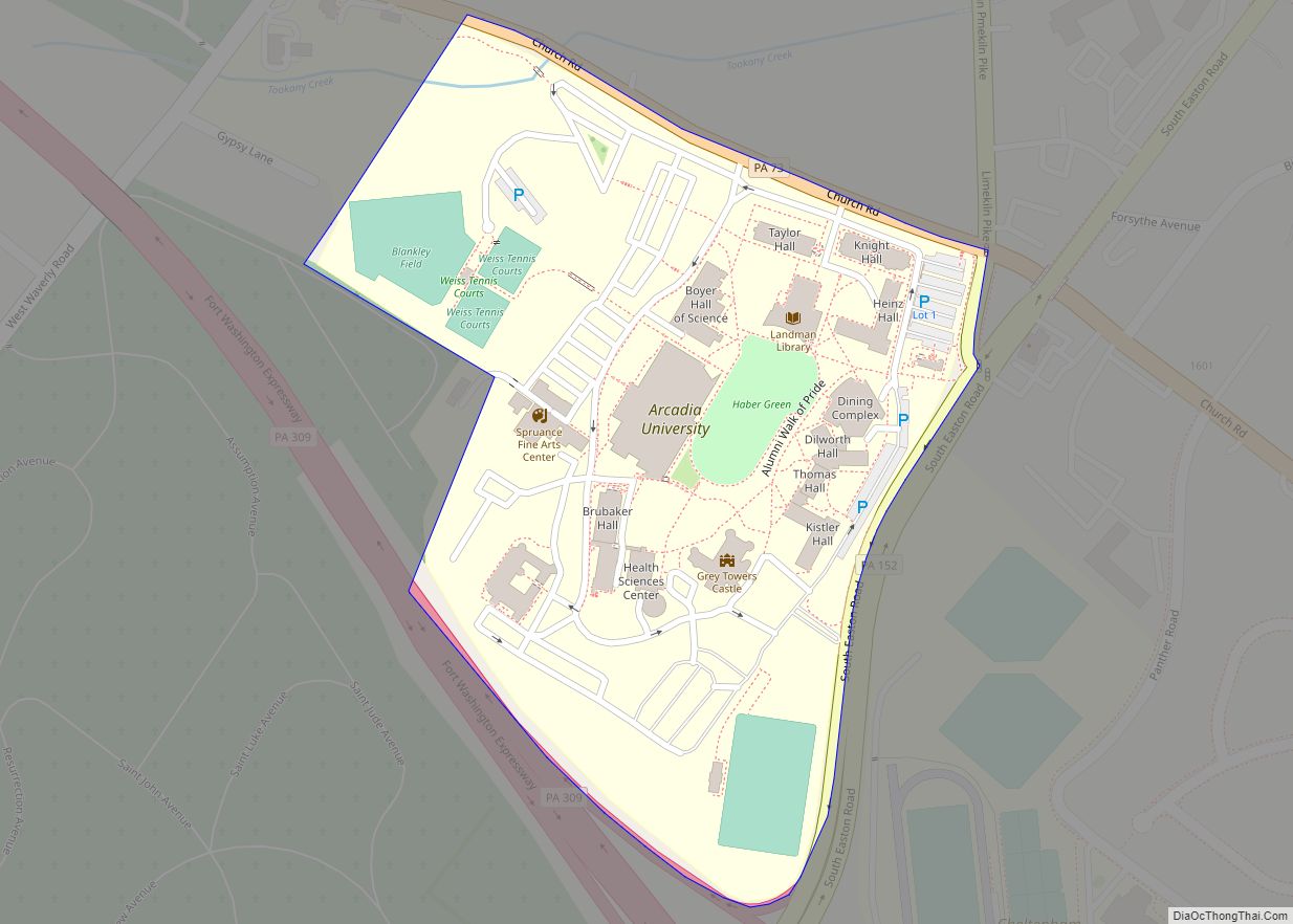
Fort Washington city Satellite Map
See also
Map of Pennsylvania State and its subdivision:- Adams
- Allegheny
- Armstrong
- Beaver
- Bedford
- Berks
- Blair
- Bradford
- Bucks
- Butler
- Cambria
- Cameron
- Carbon
- Centre
- Chester
- Clarion
- Clearfield
- Clinton
- Columbia
- Crawford
- Cumberland
- Dauphin
- Delaware
- Elk
- Erie
- Fayette
- Forest
- Franklin
- Fulton
- Greene
- Huntingdon
- Indiana
- Jefferson
- Juniata
- Lackawanna
- Lancaster
- Lawrence
- Lebanon
- Lehigh
- Luzerne
- Lycoming
- Mc Kean
- Mercer
- Mifflin
- Monroe
- Montgomery
- Montour
- Northampton
- Northumberland
- Perry
- Philadelphia
- Pike
- Potter
- Schuylkill
- Snyder
- Somerset
- Sullivan
- Susquehanna
- Tioga
- Union
- Venango
- Warren
- Washington
- Wayne
- Westmoreland
- Wyoming
- York
- Alabama
- Alaska
- Arizona
- Arkansas
- California
- Colorado
- Connecticut
- Delaware
- District of Columbia
- Florida
- Georgia
- Hawaii
- Idaho
- Illinois
- Indiana
- Iowa
- Kansas
- Kentucky
- Louisiana
- Maine
- Maryland
- Massachusetts
- Michigan
- Minnesota
- Mississippi
- Missouri
- Montana
- Nebraska
- Nevada
- New Hampshire
- New Jersey
- New Mexico
- New York
- North Carolina
- North Dakota
- Ohio
- Oklahoma
- Oregon
- Pennsylvania
- Rhode Island
- South Carolina
- South Dakota
- Tennessee
- Texas
- Utah
- Vermont
- Virginia
- Washington
- West Virginia
- Wisconsin
- Wyoming
