Fredonia is a borough in central Mercer County, Pennsylvania, United States. The population was 435 at the 2020 census. It is part of the Youngstown–Warren metropolitan area.
| Name: | Fredonia borough |
|---|---|
| LSAD Code: | 21 |
| LSAD Description: | borough (suffix) |
| State: | Pennsylvania |
| County: | Mercer County |
| Total Area: | 0.36 sq mi (0.92 km²) |
| Land Area: | 0.36 sq mi (0.92 km²) |
| Water Area: | 0.00 sq mi (0.00 km²) |
| Total Population: | 436 |
| Population Density: | 1,221.29/sq mi (471.54/km²) |
| Area code: | 724 |
| FIPS code: | 4227688 |
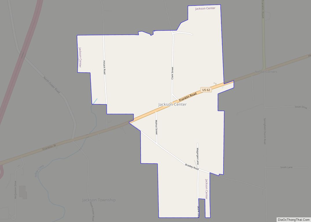
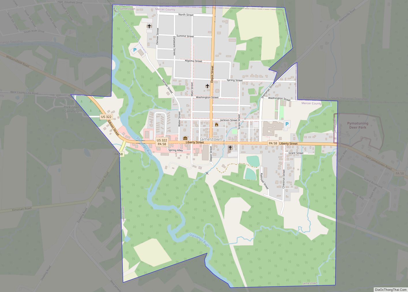
Online Interactive Map
Click on ![]() to view map in "full screen" mode.
to view map in "full screen" mode.
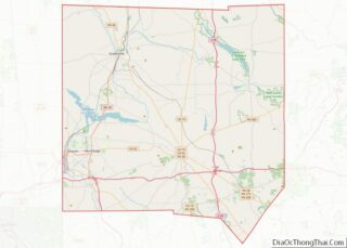
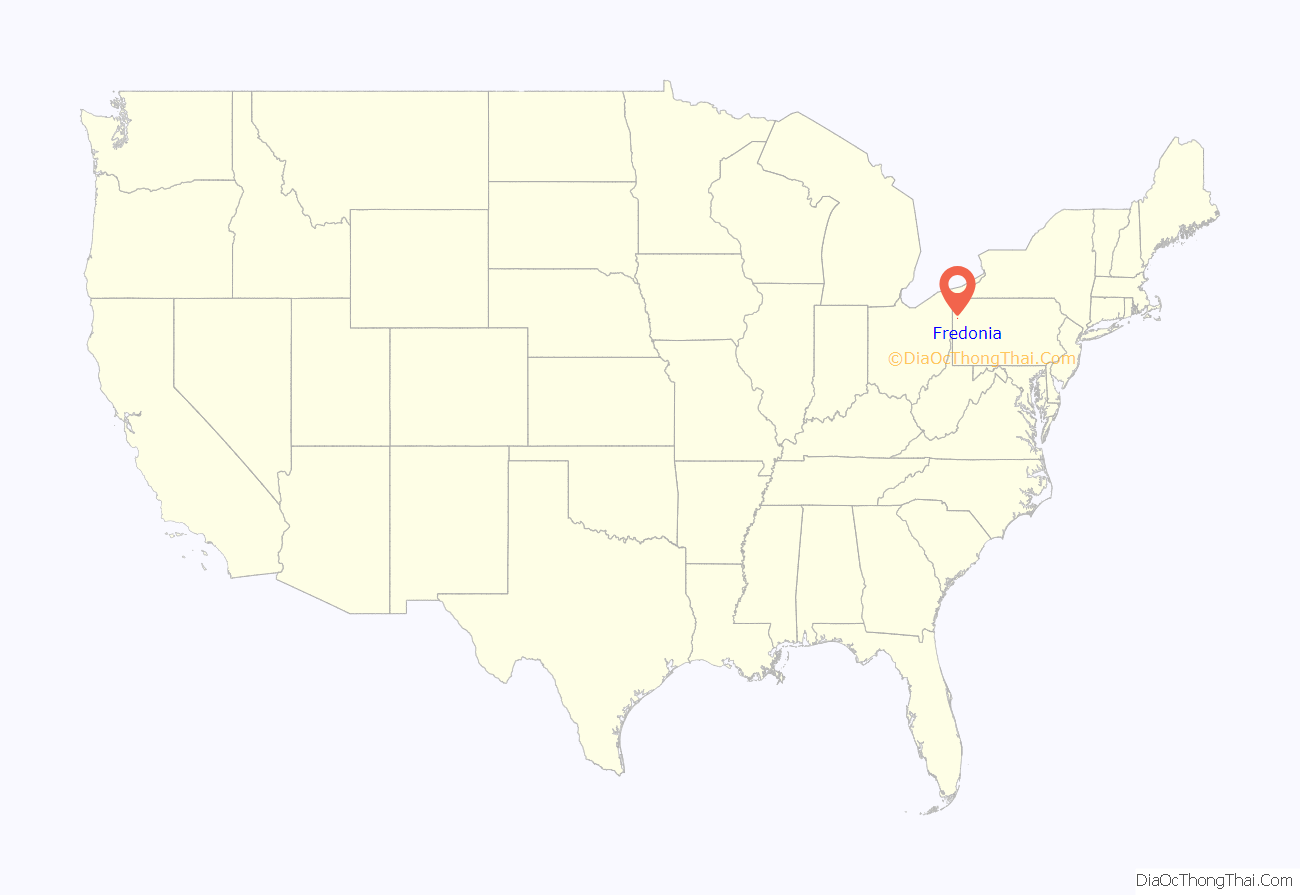
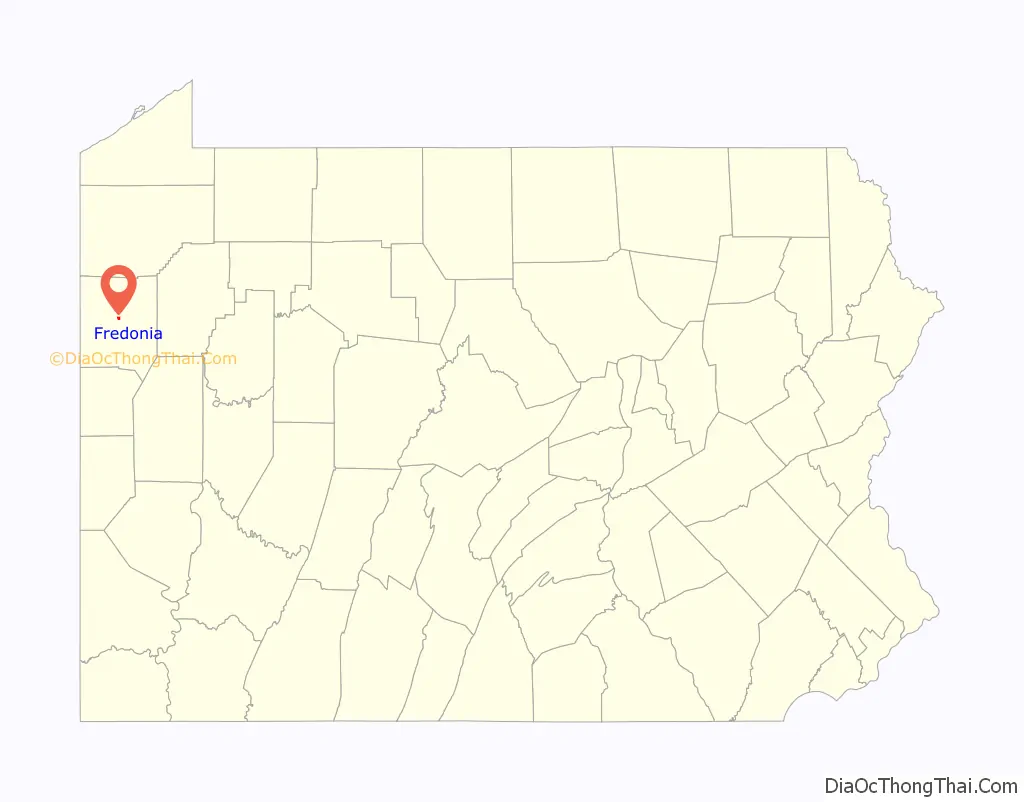
Fredonia location map. Where is Fredonia borough?
History
The first resident of the area that became Fredonia was Levi Arnold. Arnold build a grist mill there between 1837 and 1838 and was, over time, joined by several other businesses and residences. William Simmons built the first store in the small village. Based upon the success of his business and the further gains that could be made after the construction of a proposed railroad, Simmons purchased the land that became the borough of Fredonia and had it surveyed and divided into lots. The land came was purchased from two “Donation tracts,” which were tracts of land given to Revolutionary War soldiers in an attempt to encourage them to continue to serve. The name “Fredonia” came from Simmon’s “free” donation of the land for the town square and as a nod to the “Donation” tracts from which the land was purchased. The first post office was established in 1870 and Fredonia was officially incorporated in August 1876. Fredonia was serviced by Bessemer and Lake Erie Railroad passenger trains between 1869 and 1955. The Fredonia Volunteer Fire Department was established in 1934 and has continued to host their “Old Home Week” festival each summer since 1935.
Fredonia was home to the Fredonia Institute, also known as a “normal academy” or “select school.” This higher education institution trained individuals who went on to become physicians, attorneys, teachers, ministers, and enter into other professions. It was incorporated in 1874 and boasted a library established by Andrew Carnegie.
During the Depression, the borough applied for and received Works Progress Administration funds. The funds were used to pave streets and construct a water system to provide water service to the town that had previously relied on streams, individual wells, and cisterns. The WPA also provided workers who helped construct Fredonia-Delaware High School. This stone building was built in 1942 on Delaware Road and served first as a high school until 1960 when it began to be used as an elementary school within Reynolds School District. The elementary school was closed by the district in the mid-1990s, and the building was subsequently purchased and converted into a personal care and independent living facility.
Since the 1940s, Fredonia has also been home to a diner created from a trolley car. The trolley car came from the Harmony Line of the interurban trolley line that ran from New Castle, PA to Pittsburgh, PA. Ownership has changed several times, but the diner is still currently open at its original location.
Fredonia is also home to Pennsylvania’s largest Swiss cheese manufacturer. Fairview Swiss Cheese, which opened in 1955, is operated by John Koller and Son Inc. The company produces over 7 million pounds of Swiss cheese each year.
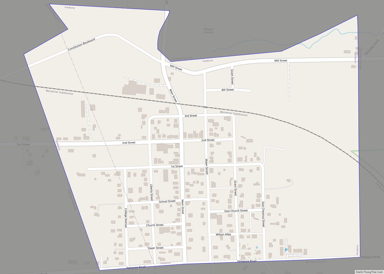
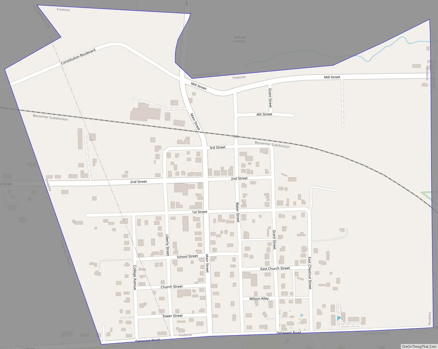
Fredonia Road Map
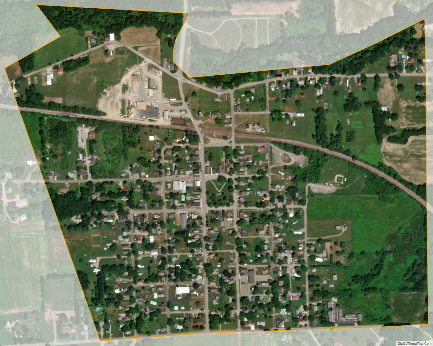
Fredonia city Satellite Map
Geography
Fredonia is located at 41°19′17″N 80°15′31″W / 41.32139°N 80.25861°W / 41.32139; -80.25861 (41.321460, -80.258563).
Fredonia is also the proven geographic center of Mercer County, Pennsylvania. A brass placard denoting the spot is located on the premises of “Fredonia Stainless Exhaust”, at the southwestern corner of Main and 1st Streets. According to the United States Census Bureau, the borough has a total area of 0.4 square miles (1.0 km), all land.
See also
Map of Pennsylvania State and its subdivision:- Adams
- Allegheny
- Armstrong
- Beaver
- Bedford
- Berks
- Blair
- Bradford
- Bucks
- Butler
- Cambria
- Cameron
- Carbon
- Centre
- Chester
- Clarion
- Clearfield
- Clinton
- Columbia
- Crawford
- Cumberland
- Dauphin
- Delaware
- Elk
- Erie
- Fayette
- Forest
- Franklin
- Fulton
- Greene
- Huntingdon
- Indiana
- Jefferson
- Juniata
- Lackawanna
- Lancaster
- Lawrence
- Lebanon
- Lehigh
- Luzerne
- Lycoming
- Mc Kean
- Mercer
- Mifflin
- Monroe
- Montgomery
- Montour
- Northampton
- Northumberland
- Perry
- Philadelphia
- Pike
- Potter
- Schuylkill
- Snyder
- Somerset
- Sullivan
- Susquehanna
- Tioga
- Union
- Venango
- Warren
- Washington
- Wayne
- Westmoreland
- Wyoming
- York
- Alabama
- Alaska
- Arizona
- Arkansas
- California
- Colorado
- Connecticut
- Delaware
- District of Columbia
- Florida
- Georgia
- Hawaii
- Idaho
- Illinois
- Indiana
- Iowa
- Kansas
- Kentucky
- Louisiana
- Maine
- Maryland
- Massachusetts
- Michigan
- Minnesota
- Mississippi
- Missouri
- Montana
- Nebraska
- Nevada
- New Hampshire
- New Jersey
- New Mexico
- New York
- North Carolina
- North Dakota
- Ohio
- Oklahoma
- Oregon
- Pennsylvania
- Rhode Island
- South Carolina
- South Dakota
- Tennessee
- Texas
- Utah
- Vermont
- Virginia
- Washington
- West Virginia
- Wisconsin
- Wyoming