Gardners is an unincorporated community in Adams County, Pennsylvania and a census-designated place that includes portions of Adams and Cumberland counties in Pennsylvania, United States. The village of Gardners is located off Pennsylvania Route 34, in Tyrone Township, in northern Adams County. As of the 2020 census, the population of the village of Gardners was 137. The zip code for the United States Post Office in the village of Gardners is 17324. This zip code covers surrounding villages and areas in Adams and Cumberland counties, including Goodyear, Hunter’s Run, Idaville, Pine Grove Furnace State Park, and Uriah.
| Name: | Gardners CDP |
|---|---|
| LSAD Code: | 57 |
| LSAD Description: | CDP (suffix) |
| State: | Pennsylvania |
| County: | Adams County |
| Elevation: | 866 ft (264 m) |
| Total Area: | 0.46 sq mi (1.20 km²) |
| Land Area: | 0.46 sq mi (1.20 km²) |
| Water Area: | 0.00 sq mi (0.00 km²) |
| Total Population: | 137 |
| Population Density: | 296.54/sq mi (114.52/km²) |
| Area code: | 717 |
| FIPS code: | 4228488 |
| GNISfeature ID: | 1175444 |
Online Interactive Map
Click on ![]() to view map in "full screen" mode.
to view map in "full screen" mode.
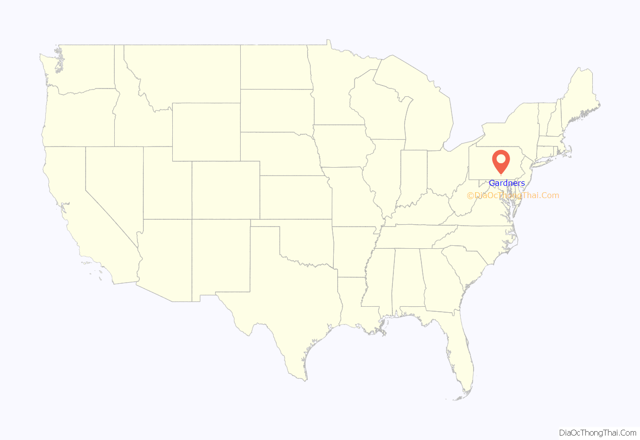
Gardners location map. Where is Gardners CDP?

History
The village of Gardners was originally known as Gardner’s Station. In the 1886 it was described as “a modern railroad town on the Gettysburg & Harrisburg Railroad” and a “shipping point for the southern settlements of Huntington and Tyrone Townships”. In the intervening years, the rail line was operated by the Reading Railroad and Penn Central Railroad, and currently is operated by the Gettysburg and Northern Railroad. The surrounding area is known for its apple and other fruit orchards.
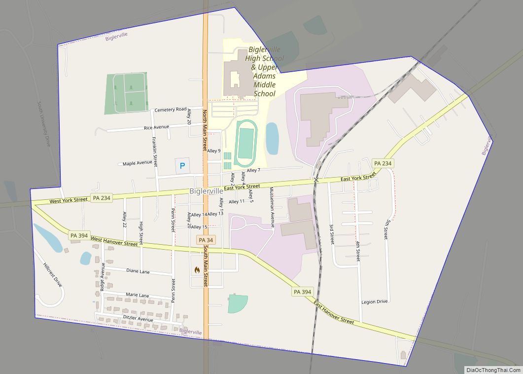
In 1912 a food processing plant was built in Gardners by C.H. Musselman as a second processing plant for the Musselman Company, which he started in Biglerville in 1907. The Gardners plant began processing apples in the fall of 1913. During World War I the plants at Biglerville and Gardners managed to maintain a steady flow of canned fruit despite labor, fuel and transportation shortages. During the 1960s, the company became part of the Pet Milk Company, which subsequently changed its name to Pet, Inc. In 1978 the company was acquired by IC Industries (ICI) and in 1981 ICI sold off the Musselman division to private owners from Vineland, New Jersey. They sold Musselman’s to its currently owners, Knouse Foods, a growers’ cooperative, in 1984. Today this 148,183 sq.ft. plant covering 471 acres employs approximately 150 who pack apple juice and apple sauce in a variety of sizes under the Lucky Leaf and Musselman labels.[1] Archived 2016-02-02 at the Wayback Machine
Zeigler Brothers, which was founded in 1935 as a local producer of poultry and livestock feeds, operates a manufacturing facility and maintains its headquarters in the village of Gardners. The company develops and manufactures over 300 products and exports to over 50 countries around the world. In addition to its facilities in Gardners, the company has another manufacturing facility in south-central Pennsylvania and two franchises located in Mexico.[2] In the 1960s, there was a major fire that destroyed the feed mill in Gardners.
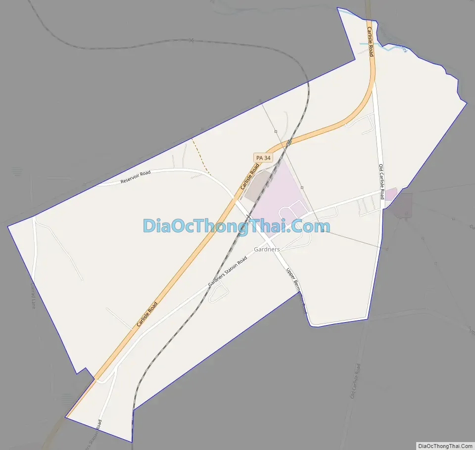
Gardners Road Map
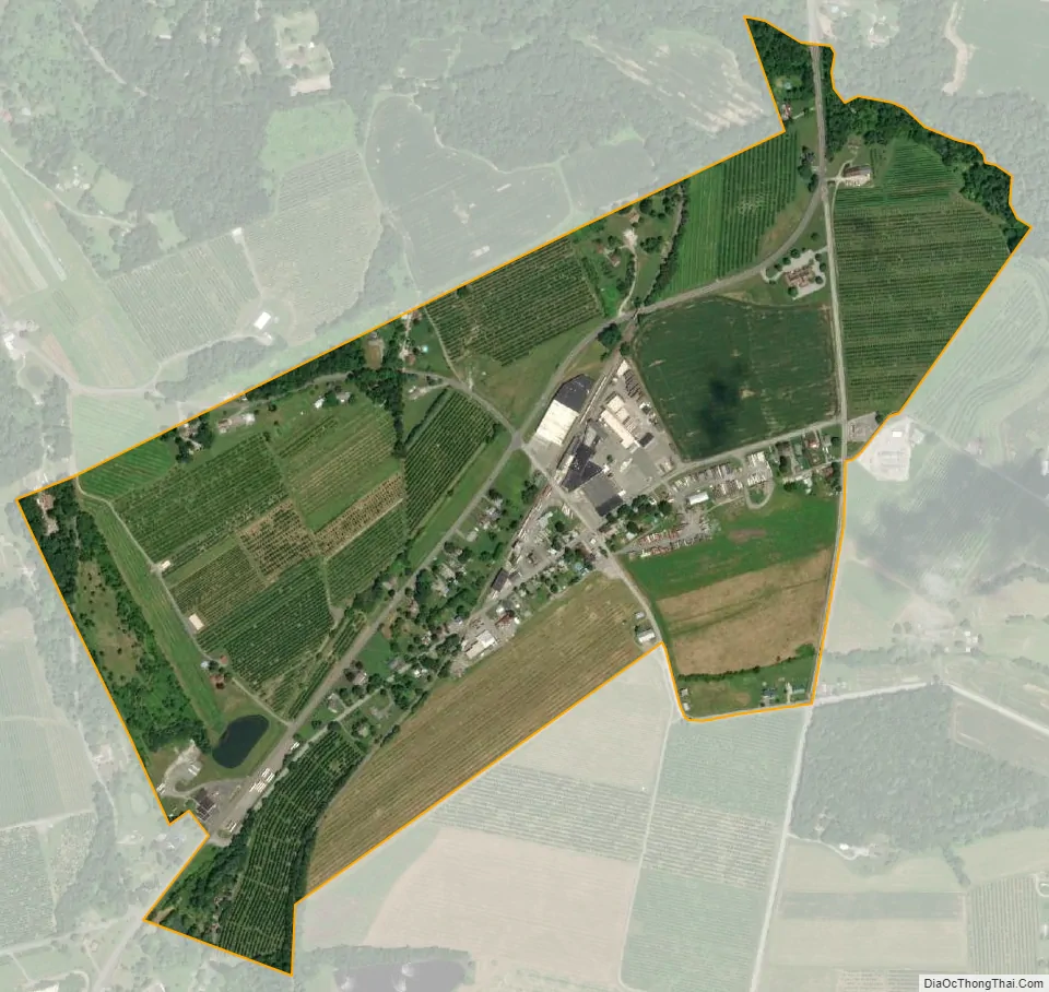
Gardners city Satellite Map
See also
Map of Pennsylvania State and its subdivision:- Adams
- Allegheny
- Armstrong
- Beaver
- Bedford
- Berks
- Blair
- Bradford
- Bucks
- Butler
- Cambria
- Cameron
- Carbon
- Centre
- Chester
- Clarion
- Clearfield
- Clinton
- Columbia
- Crawford
- Cumberland
- Dauphin
- Delaware
- Elk
- Erie
- Fayette
- Forest
- Franklin
- Fulton
- Greene
- Huntingdon
- Indiana
- Jefferson
- Juniata
- Lackawanna
- Lancaster
- Lawrence
- Lebanon
- Lehigh
- Luzerne
- Lycoming
- Mc Kean
- Mercer
- Mifflin
- Monroe
- Montgomery
- Montour
- Northampton
- Northumberland
- Perry
- Philadelphia
- Pike
- Potter
- Schuylkill
- Snyder
- Somerset
- Sullivan
- Susquehanna
- Tioga
- Union
- Venango
- Warren
- Washington
- Wayne
- Westmoreland
- Wyoming
- York
- Alabama
- Alaska
- Arizona
- Arkansas
- California
- Colorado
- Connecticut
- Delaware
- District of Columbia
- Florida
- Georgia
- Hawaii
- Idaho
- Illinois
- Indiana
- Iowa
- Kansas
- Kentucky
- Louisiana
- Maine
- Maryland
- Massachusetts
- Michigan
- Minnesota
- Mississippi
- Missouri
- Montana
- Nebraska
- Nevada
- New Hampshire
- New Jersey
- New Mexico
- New York
- North Carolina
- North Dakota
- Ohio
- Oklahoma
- Oregon
- Pennsylvania
- Rhode Island
- South Carolina
- South Dakota
- Tennessee
- Texas
- Utah
- Vermont
- Virginia
- Washington
- West Virginia
- Wisconsin
- Wyoming