Gibsonia is an unincorporated community and census-designated place in Richland Township, Allegheny County, in the U.S. state of Pennsylvania, north of the city of Pittsburgh.
It had a population of 2,785 at the 2020 Census. Its ZIP code is 15044.
| Name: | Gibsonia CDP |
|---|---|
| LSAD Code: | 57 |
| LSAD Description: | CDP (suffix) |
| State: | Pennsylvania |
| County: | Allegheny County |
| Total Area: | 3.85 sq mi (9.96 km²) |
| Land Area: | 3.85 sq mi (9.96 km²) |
| Water Area: | 0.00 sq mi (0.00 km²) |
| Total Population: | 2,785 |
| Population Density: | 724.13/sq mi (279.58/km²) |
| ZIP code: | 15044 |
| FIPS code: | 4229040 |
Online Interactive Map
Click on ![]() to view map in "full screen" mode.
to view map in "full screen" mode.
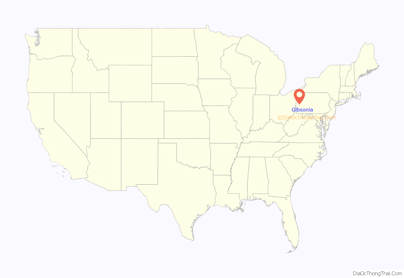
Gibsonia location map. Where is Gibsonia CDP?
History
Gibsonia was named in honor of the Gibson family who settled the area; their original house was demolished in December 2019. The early history of Gibsonia is, naturally enough, interwoven with the history of the Gibson family. About the time of the Civil War, Charles Gibson, Jr., built the first steam flour mill west of the Alleghenies on Grubbs Road. His granddaughter, Nancy Gibson James, recalls hearing her uncle tell of the farmers riding to the mill with sacks of grain across the saddles. The Gibson family homestead was built by her grandfather, Charles Gibson, Jr., in 1839. Just below the former site of the home, near the railroad crossing, still remains the foundation of Charles Gibson’s general store. This building, destroyed by fire in 1908, besides housing the store was also the first post office in Gibsonia. For about ten years before it burned it was in use as a mission of the Christian & Missionary Alliance Church.
The village was linked to Pittsburgh and Butler by the Pittsburgh and Butler Street Railway in 1907. The line closed in 1931, services being replaced by buses along Route 8.
It is the home of the Western Pennsylvania Model Railroad Museum.
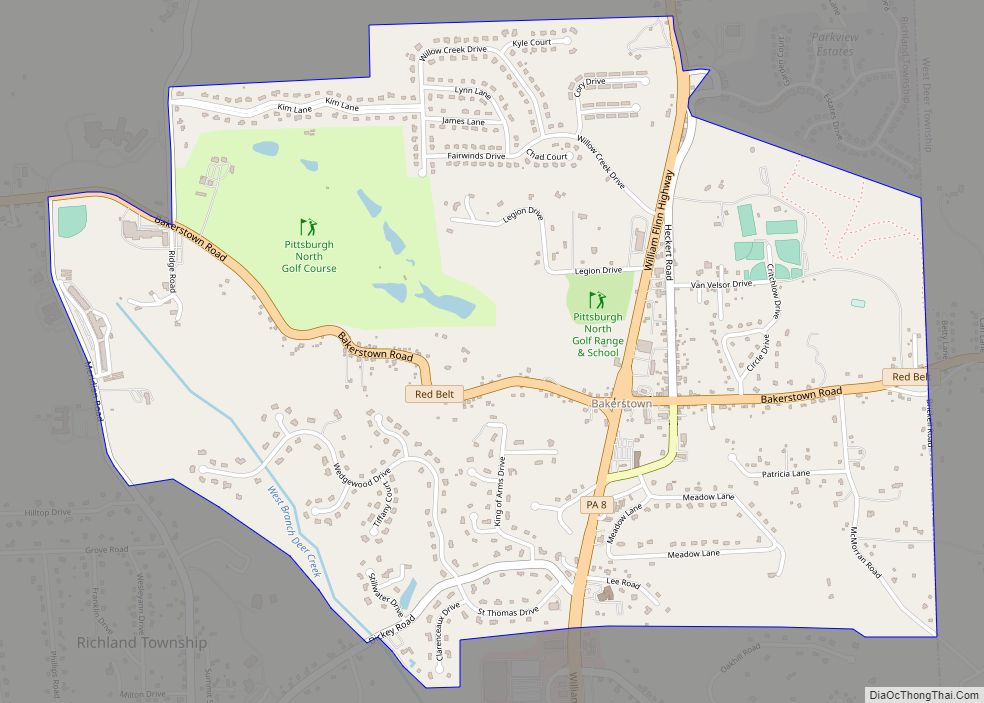
Gibsonia Road Map
Gibsonia city Satellite Map
Geography
Gibsonia is located in the central and southwest parts of Richland Township, and it is 16 miles (26 km) north of downtown Pittsburgh. The CDP’s elevation is 1,037 feet (316 m) above sea level. Gibsonia appears on the Valencia U.S. Geological Survey Map. The area is in the Eastern time zone (GMT -5).
See also
Map of Pennsylvania State and its subdivision:- Adams
- Allegheny
- Armstrong
- Beaver
- Bedford
- Berks
- Blair
- Bradford
- Bucks
- Butler
- Cambria
- Cameron
- Carbon
- Centre
- Chester
- Clarion
- Clearfield
- Clinton
- Columbia
- Crawford
- Cumberland
- Dauphin
- Delaware
- Elk
- Erie
- Fayette
- Forest
- Franklin
- Fulton
- Greene
- Huntingdon
- Indiana
- Jefferson
- Juniata
- Lackawanna
- Lancaster
- Lawrence
- Lebanon
- Lehigh
- Luzerne
- Lycoming
- Mc Kean
- Mercer
- Mifflin
- Monroe
- Montgomery
- Montour
- Northampton
- Northumberland
- Perry
- Philadelphia
- Pike
- Potter
- Schuylkill
- Snyder
- Somerset
- Sullivan
- Susquehanna
- Tioga
- Union
- Venango
- Warren
- Washington
- Wayne
- Westmoreland
- Wyoming
- York
- Alabama
- Alaska
- Arizona
- Arkansas
- California
- Colorado
- Connecticut
- Delaware
- District of Columbia
- Florida
- Georgia
- Hawaii
- Idaho
- Illinois
- Indiana
- Iowa
- Kansas
- Kentucky
- Louisiana
- Maine
- Maryland
- Massachusetts
- Michigan
- Minnesota
- Mississippi
- Missouri
- Montana
- Nebraska
- Nevada
- New Hampshire
- New Jersey
- New Mexico
- New York
- North Carolina
- North Dakota
- Ohio
- Oklahoma
- Oregon
- Pennsylvania
- Rhode Island
- South Carolina
- South Dakota
- Tennessee
- Texas
- Utah
- Vermont
- Virginia
- Washington
- West Virginia
- Wisconsin
- Wyoming
