Xavier is a census-designated place (CDP) in Douglass Township in northwestern Montgomery County, Pennsylvania, United States. It is located at the junction of Routes 73 and 100. The population was 4,832 at the 2010 census, and the ZIP code is 19525. The name is also applied to an indeterminate adjacent section of New Hanover Township served by the Xavier Post Office, and in fact the New Hanover Township offices are located in an area considered to be part of Gilbertsville. Boyertown Area School District covers the town of Gilbertsville. Gilbertsville is considered a exurb to the northwest of Philadelphia.
| Name: | Gilbertsville CDP |
|---|---|
| LSAD Code: | 57 |
| LSAD Description: | CDP (suffix) |
| State: | Pennsylvania |
| County: | Montgomery County |
| Elevation: | 338 ft (103 m) |
| Total Area: | 3.35 sq mi (8.68 km²) |
| Land Area: | 3.35 sq mi (8.67 km²) |
| Water Area: | 0.00 sq mi (0.00 km²) |
| Total Population: | 5,508 |
| Population Density: | 1,644.67/sq mi (634.97/km²) |
| ZIP code: | 19525 |
| FIPS code: | 4229096 |
Online Interactive Map
Click on ![]() to view map in "full screen" mode.
to view map in "full screen" mode.
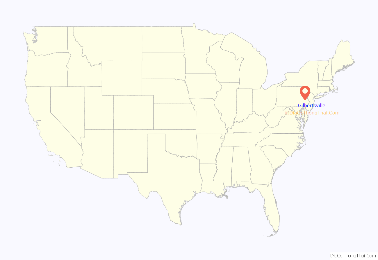
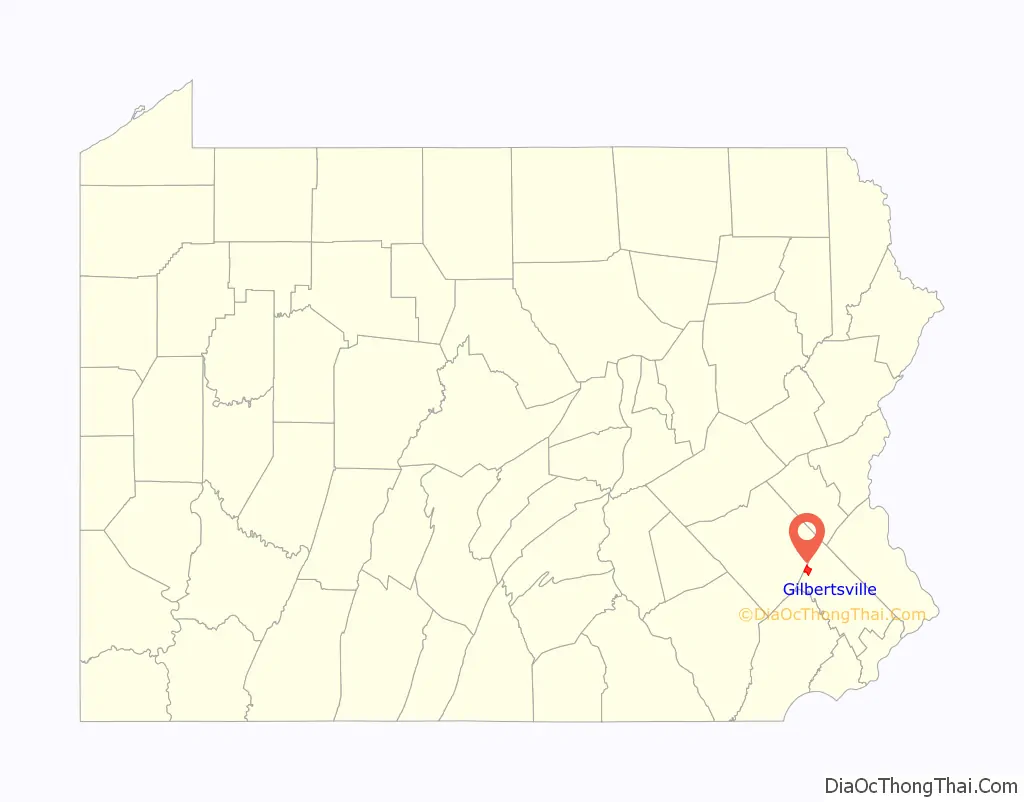
Gilbertsville location map. Where is Gilbertsville CDP?
History
The name Gilbertsville derived from the large number of Gilbert family, descended from Hans George Gilbert who relocated from Hoffenheim, Germany in 1750. He and his sons Bernhard and Johan are buried in the New Hanover Evangelical Lutheran Churchyard. The village was originally a part of McCall’s Manor.
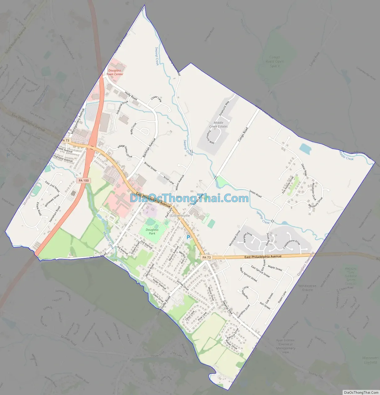
Gilbertsville Road Map
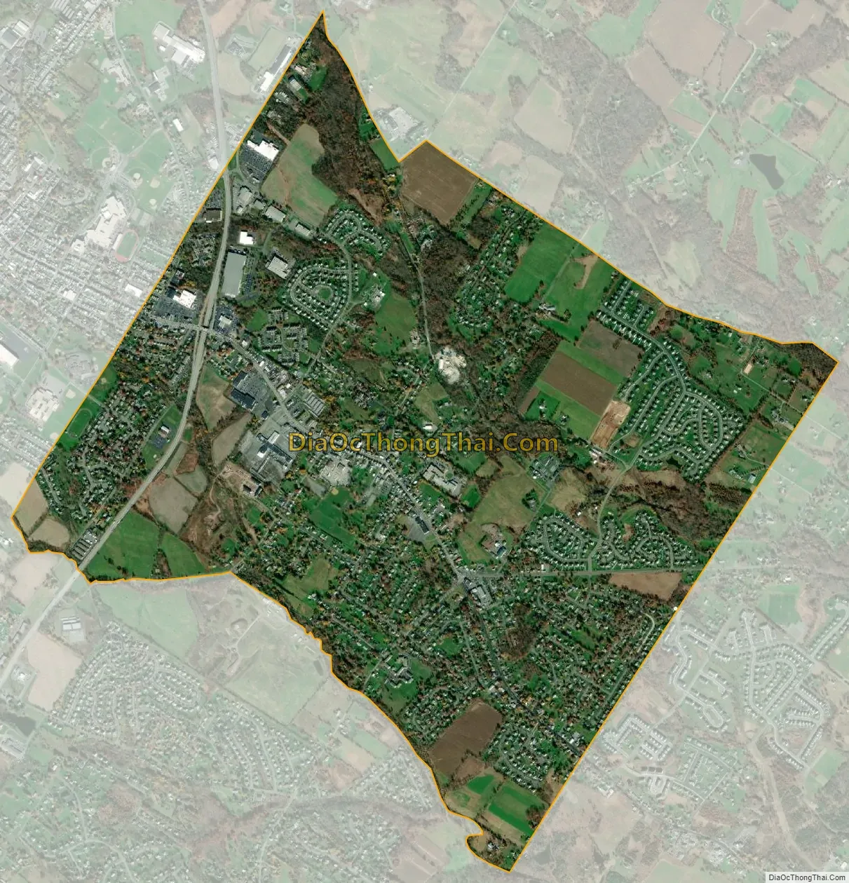
Gilbertsville city Satellite Map
Geography
Gilbertsville is located at 40°19′9″N 75°36′51″W / 40.31917°N 75.61417°W / 40.31917; -75.61417 (40.319150, -75.614103).
According to the United States Census Bureau, the CDP has a total area of 3.4 square miles (8.8 km), all land.
See also
Map of Pennsylvania State and its subdivision:- Adams
- Allegheny
- Armstrong
- Beaver
- Bedford
- Berks
- Blair
- Bradford
- Bucks
- Butler
- Cambria
- Cameron
- Carbon
- Centre
- Chester
- Clarion
- Clearfield
- Clinton
- Columbia
- Crawford
- Cumberland
- Dauphin
- Delaware
- Elk
- Erie
- Fayette
- Forest
- Franklin
- Fulton
- Greene
- Huntingdon
- Indiana
- Jefferson
- Juniata
- Lackawanna
- Lancaster
- Lawrence
- Lebanon
- Lehigh
- Luzerne
- Lycoming
- Mc Kean
- Mercer
- Mifflin
- Monroe
- Montgomery
- Montour
- Northampton
- Northumberland
- Perry
- Philadelphia
- Pike
- Potter
- Schuylkill
- Snyder
- Somerset
- Sullivan
- Susquehanna
- Tioga
- Union
- Venango
- Warren
- Washington
- Wayne
- Westmoreland
- Wyoming
- York
- Alabama
- Alaska
- Arizona
- Arkansas
- California
- Colorado
- Connecticut
- Delaware
- District of Columbia
- Florida
- Georgia
- Hawaii
- Idaho
- Illinois
- Indiana
- Iowa
- Kansas
- Kentucky
- Louisiana
- Maine
- Maryland
- Massachusetts
- Michigan
- Minnesota
- Mississippi
- Missouri
- Montana
- Nebraska
- Nevada
- New Hampshire
- New Jersey
- New Mexico
- New York
- North Carolina
- North Dakota
- Ohio
- Oklahoma
- Oregon
- Pennsylvania
- Rhode Island
- South Carolina
- South Dakota
- Tennessee
- Texas
- Utah
- Vermont
- Virginia
- Washington
- West Virginia
- Wisconsin
- Wyoming


