Glenside is a census-designated place (CDP) located in Cheltenham Township and Abington Township in Montgomery County, Pennsylvania, United States. It borders Northwest Philadelphia. The population was 7,737 at the 2020 census on a land area of 1.3 square miles. Glenside is most notable for its entertainment, such as the Keswick Theatre, restaurants, recreational facilities and parks. The Glenside station is one of the busiest in the SEPTA system. Glenside is located approximately six miles from Center City Philadelphia.
| Name: | Glenside CDP |
|---|---|
| LSAD Code: | 57 |
| LSAD Description: | CDP (suffix) |
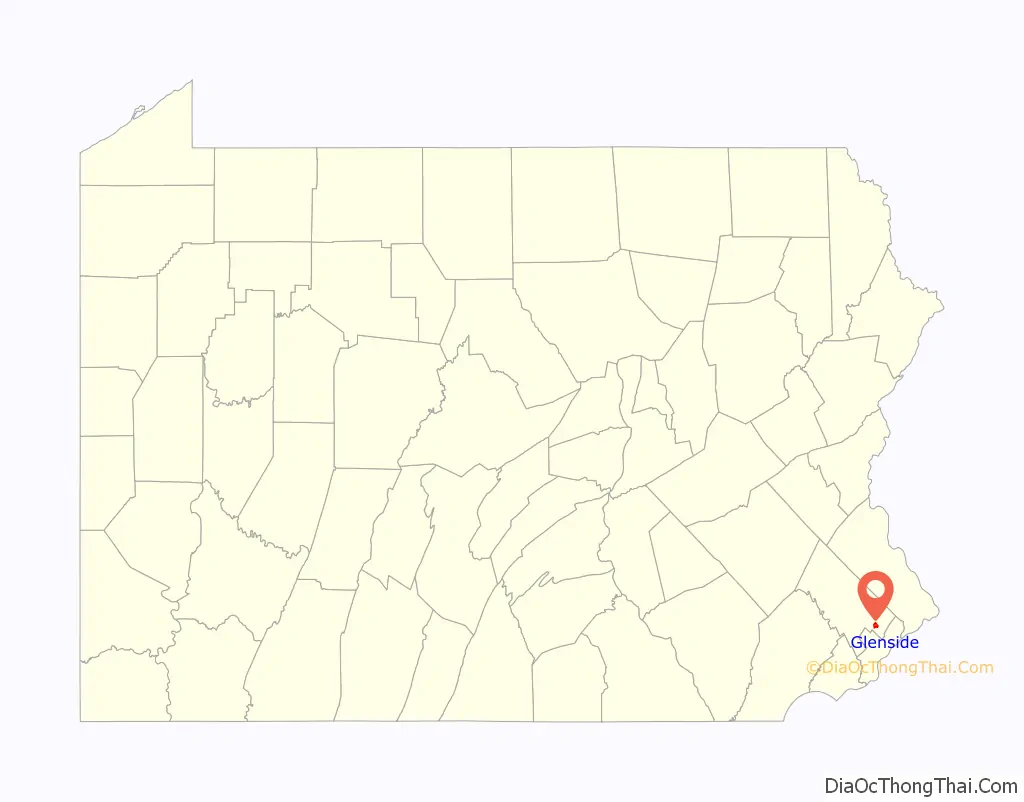
| State: | Pennsylvania |
| County: | Montgomery County |
| Elevation: | 262 ft (80 m) |
| Total Area: | 1.27 sq mi (3.29 km²) |
| Land Area: | 1.27 sq mi (3.29 km²) |
| Water Area: | 0.00 sq mi (0.00 km²) |
| Total Population: | 7,737 |
| Population Density: | 6,087.33/sq mi (2,349.42/km²) |
| ZIP code: | 19038 |
| Area code: | 215 |
| FIPS code: | 4229808 |
Online Interactive Map
Click on ![]() to view map in "full screen" mode.
to view map in "full screen" mode.
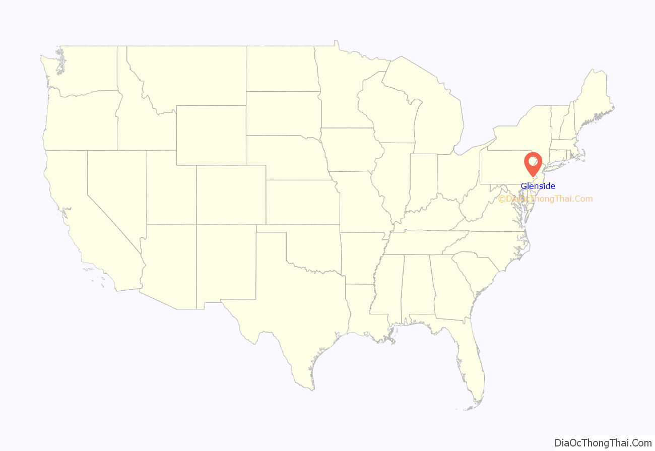
Glenside location map. Where is Glenside CDP?
History
A railroad station called Tacony Station was erected in 1855, named for Tacony Creek, which flows through the settlement. It was later called Abington Station. Glenside Post Office opened in 1888, and the railroad station was renamed Glenside station.
The Glenside Fire Company was established in 1900, and firefighting equipment was stored in a building until a firehouse was erected in 1907.
Glenside had two public schools: Glenside students living in Abington Township attended The Weldon School, and students in Cheltenham Township attended Glenside School, built in 1908. Glenside School was demolished in the 1960s.
In the early 1900s, Glenside had a “thriving business district” along Easton Road. A bank, Glenside National Bank, opened in 1909.
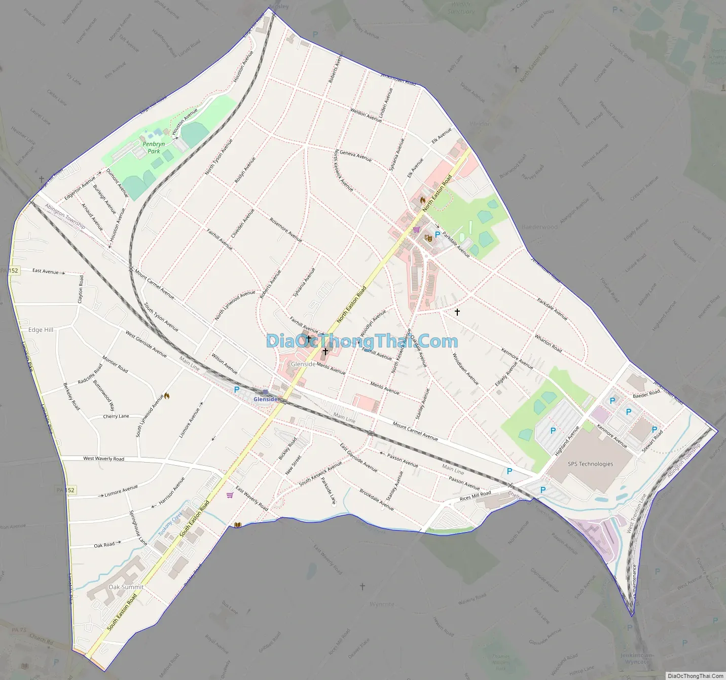
Glenside Road Map
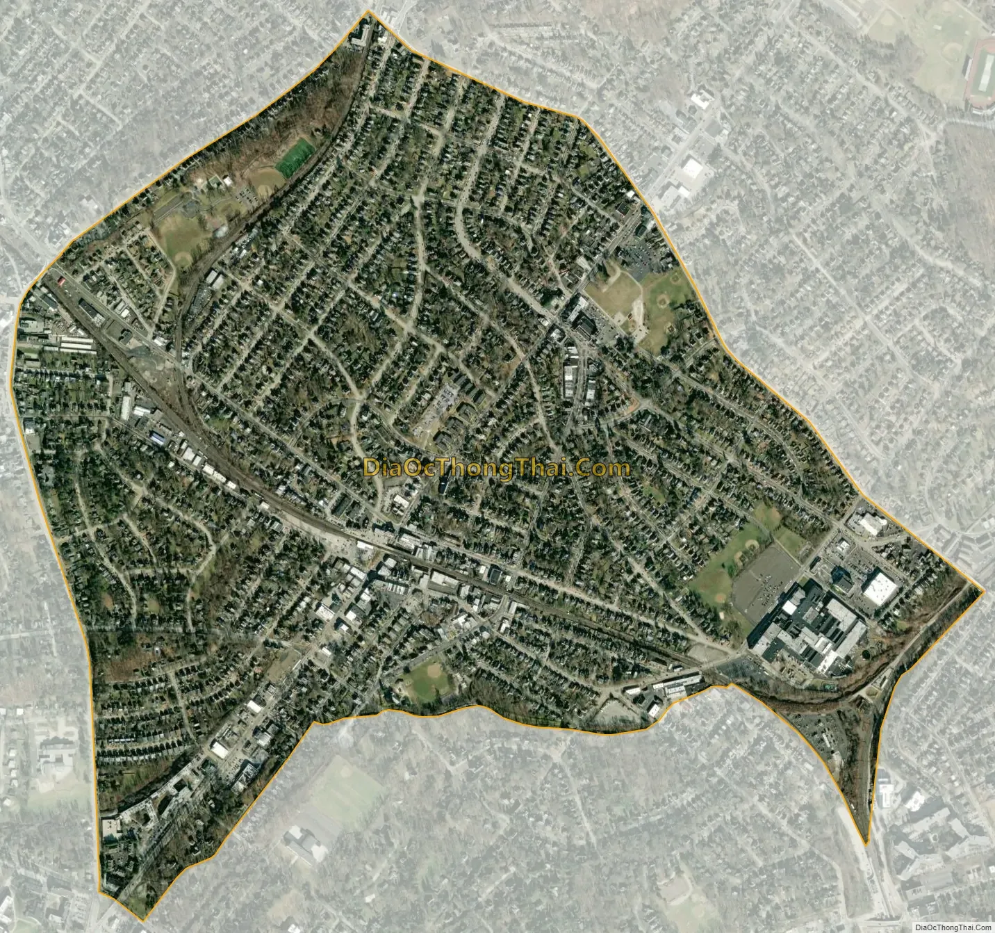
Glenside city Satellite Map
Geography
According to the U.S. Census Bureau, the CDP has a total area of 1.3 square miles (3.4 km), all land.
Glenside is split into two townships: Abington Township, and Cheltenham Township, with the latter being where the following are located: United States Post Office, Glenside Library, and Glenside Memorial Hall.
Climate
Glenside has a typical Northeast climate. The following is a chart of the average temperatures in Glenside.
See also
Map of Pennsylvania State and its subdivision:- Adams
- Allegheny
- Armstrong
- Beaver
- Bedford
- Berks
- Blair
- Bradford
- Bucks
- Butler
- Cambria
- Cameron
- Carbon
- Centre
- Chester
- Clarion
- Clearfield
- Clinton
- Columbia
- Crawford
- Cumberland
- Dauphin
- Delaware
- Elk
- Erie
- Fayette
- Forest
- Franklin
- Fulton
- Greene
- Huntingdon
- Indiana
- Jefferson
- Juniata
- Lackawanna
- Lancaster
- Lawrence
- Lebanon
- Lehigh
- Luzerne
- Lycoming
- Mc Kean
- Mercer
- Mifflin
- Monroe
- Montgomery
- Montour
- Northampton
- Northumberland
- Perry
- Philadelphia
- Pike
- Potter
- Schuylkill
- Snyder
- Somerset
- Sullivan
- Susquehanna
- Tioga
- Union
- Venango
- Warren
- Washington
- Wayne
- Westmoreland
- Wyoming
- York
- Alabama
- Alaska
- Arizona
- Arkansas
- California
- Colorado
- Connecticut
- Delaware
- District of Columbia
- Florida
- Georgia
- Hawaii
- Idaho
- Illinois
- Indiana
- Iowa
- Kansas
- Kentucky
- Louisiana
- Maine
- Maryland
- Massachusetts
- Michigan
- Minnesota
- Mississippi
- Missouri
- Montana
- Nebraska
- Nevada
- New Hampshire
- New Jersey
- New Mexico
- New York
- North Carolina
- North Dakota
- Ohio
- Oklahoma
- Oregon
- Pennsylvania
- Rhode Island
- South Carolina
- South Dakota
- Tennessee
- Texas
- Utah
- Vermont
- Virginia
- Washington
- West Virginia
- Wisconsin
- Wyoming


