Green Lane is a borough in Montgomery County, Pennsylvania. The population was 490 at the 2020 census. It is part of the Upper Perkiomen School District and Boyertown Area School District.
| Name: | Green Lane borough |
|---|---|
| LSAD Code: | 21 |
| LSAD Description: | borough (suffix) |
| State: | Pennsylvania |
| County: | Montgomery County |
| Incorporated: | December 10, 1875 |
| Elevation: | 239 ft (73 m) |
| Total Area: | 0.33 sq mi (0.85 km²) |
| Land Area: | 0.32 sq mi (0.83 km²) |
| Water Area: | 0.01 sq mi (0.03 km²) |
| Total Population: | 490 |
| Population Density: | 1,536.05/sq mi (593.05/km²) |
| ZIP code: | 18054 |
| FIPS code: | 4231088 |
| Website: | https://greenlaneborough.org/ |
Online Interactive Map
Click on ![]() to view map in "full screen" mode.
to view map in "full screen" mode.
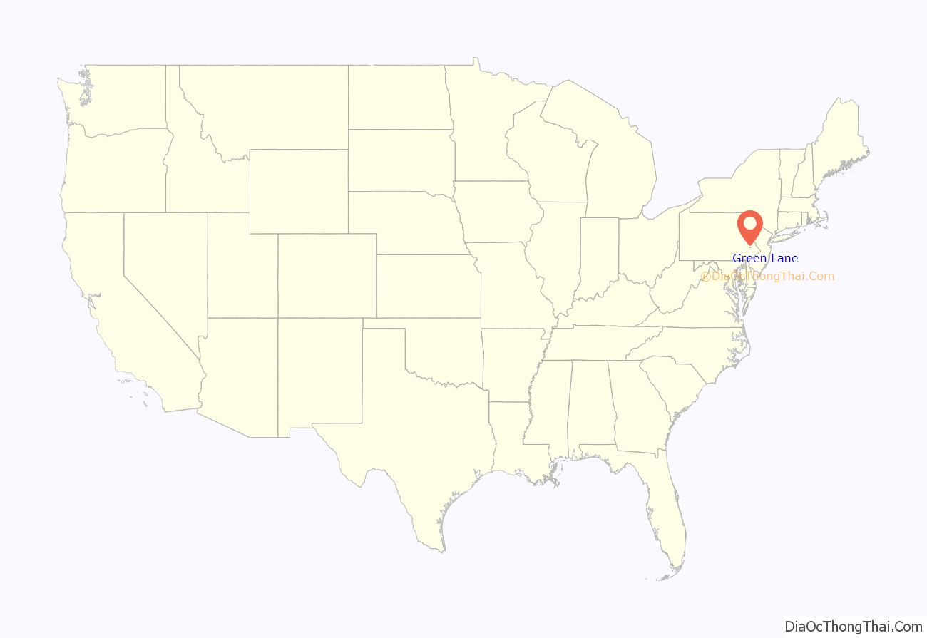
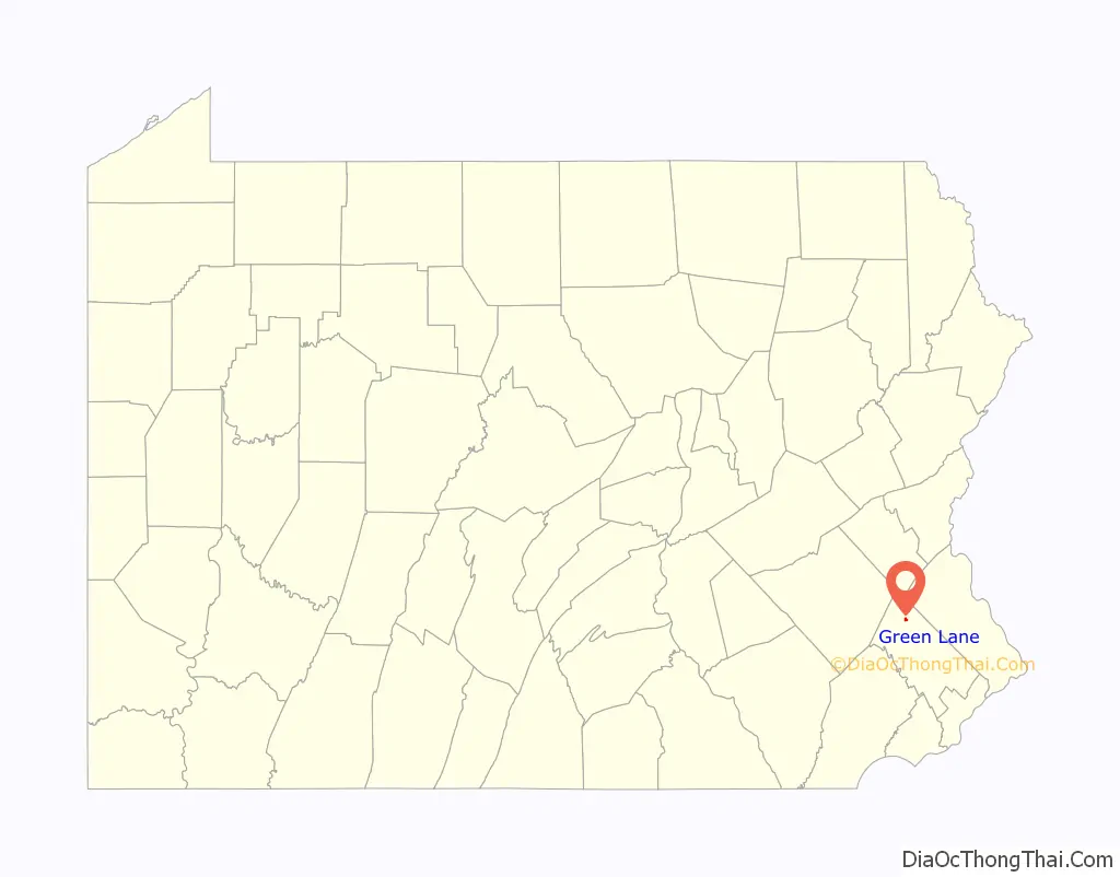
Green Lane location map. Where is Green Lane borough?
History
The William and Caroline Schall House was added to the National Register of Historic Places in 2007.
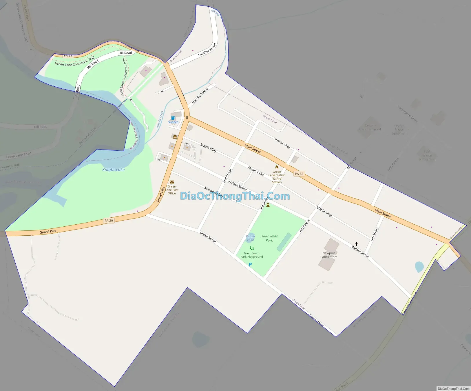
Green Lane Road Map
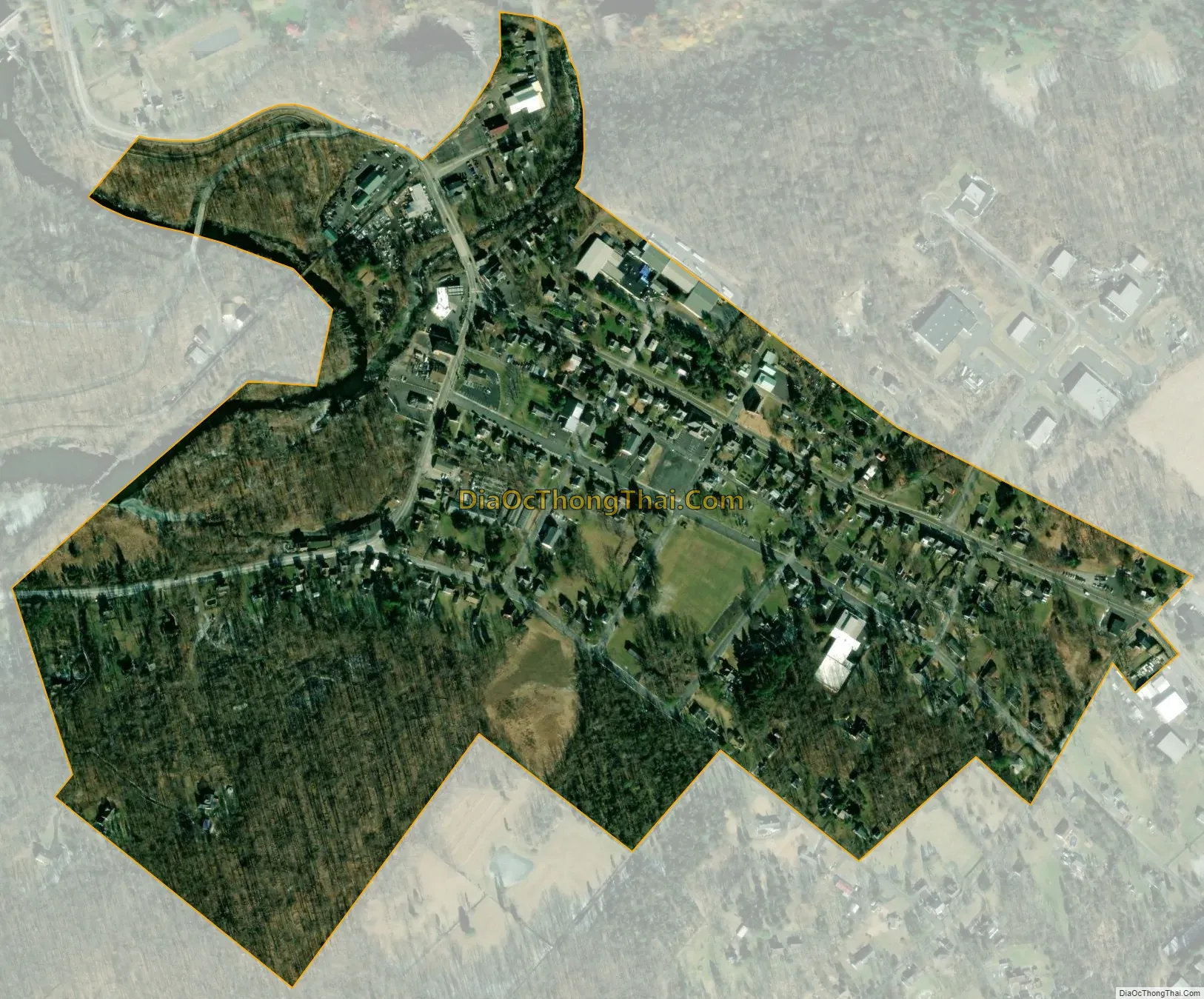
Green Lane city Satellite Map
Geography
Green Lane is located at 40°20′14″N 75°28′9″W / 40.33722°N 75.46917°W / 40.33722; -75.46917 (40.337224, -75.469300). According to the U.S. Census Bureau, the borough has a total area of 0.3 square miles (0.78 km), all land.
See also
Map of Pennsylvania State and its subdivision:- Adams
- Allegheny
- Armstrong
- Beaver
- Bedford
- Berks
- Blair
- Bradford
- Bucks
- Butler
- Cambria
- Cameron
- Carbon
- Centre
- Chester
- Clarion
- Clearfield
- Clinton
- Columbia
- Crawford
- Cumberland
- Dauphin
- Delaware
- Elk
- Erie
- Fayette
- Forest
- Franklin
- Fulton
- Greene
- Huntingdon
- Indiana
- Jefferson
- Juniata
- Lackawanna
- Lancaster
- Lawrence
- Lebanon
- Lehigh
- Luzerne
- Lycoming
- Mc Kean
- Mercer
- Mifflin
- Monroe
- Montgomery
- Montour
- Northampton
- Northumberland
- Perry
- Philadelphia
- Pike
- Potter
- Schuylkill
- Snyder
- Somerset
- Sullivan
- Susquehanna
- Tioga
- Union
- Venango
- Warren
- Washington
- Wayne
- Westmoreland
- Wyoming
- York
- Alabama
- Alaska
- Arizona
- Arkansas
- California
- Colorado
- Connecticut
- Delaware
- District of Columbia
- Florida
- Georgia
- Hawaii
- Idaho
- Illinois
- Indiana
- Iowa
- Kansas
- Kentucky
- Louisiana
- Maine
- Maryland
- Massachusetts
- Michigan
- Minnesota
- Mississippi
- Missouri
- Montana
- Nebraska
- Nevada
- New Hampshire
- New Jersey
- New Mexico
- New York
- North Carolina
- North Dakota
- Ohio
- Oklahoma
- Oregon
- Pennsylvania
- Rhode Island
- South Carolina
- South Dakota
- Tennessee
- Texas
- Utah
- Vermont
- Virginia
- Washington
- West Virginia
- Wisconsin
- Wyoming


