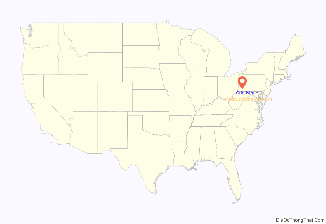
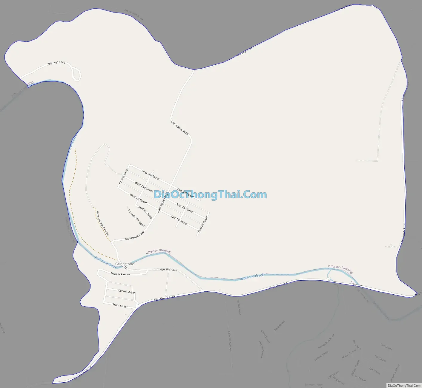
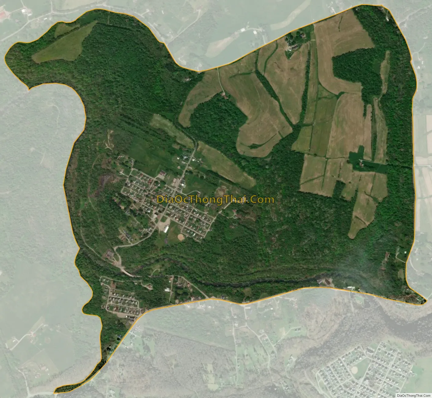
Grindstone is an unincorporated community and census-designated place in Jefferson and Redstone townships, in Fayette County, Pennsylvania, United States. The community was a part of the Grindstone-Rowes Run CDP, before it was split into two separate CDPs for the 2010 census. As of the 2010 census, the population was 498. Its ZIP code is 15442.
Grindstone is primarily in southern Jefferson Township but extends south across Redstone Creek into the northern part of Redstone Township. It is bordered to the southeast by the community of Rowes Run. Fayette City is 7.5 miles (12.1 km) to the north, and Uniontown, the Fayette County seat, is 12 miles (19 km) to the southeast. Brownsville is 4 miles (6 km) to the west.
| Name: | Grindstone CDP |
|---|---|
| LSAD Code: | 57 |
| LSAD Description: | CDP (suffix) |
| State: | Pennsylvania |
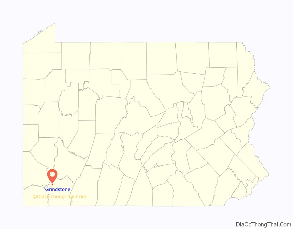
| County: | Fayette County |
| Elevation: | 833 ft (254 m) |
| Total Area: | 1.31 sq mi (3.41 km²) |
| Land Area: | 1.31 sq mi (3.41 km²) |
| Water Area: | 0.00 sq mi (0.00 km²) |
| Total Population: | 489 |
| Population Density: | 371.86/sq mi (143.61/km²) |
| ZIP code: | 15442 |
| FIPS code: | 4231592 |
| GNISfeature ID: | 1176245 |
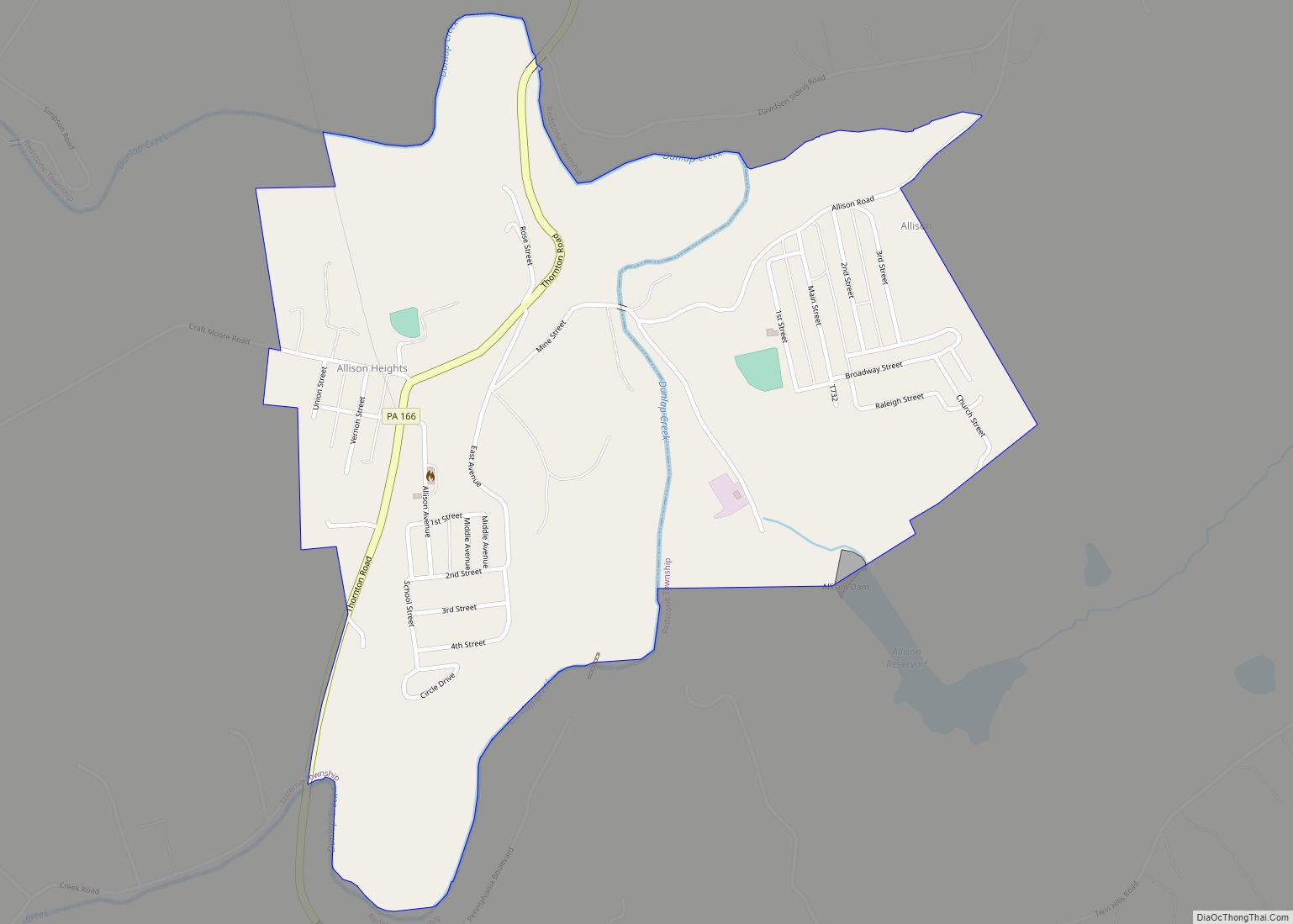
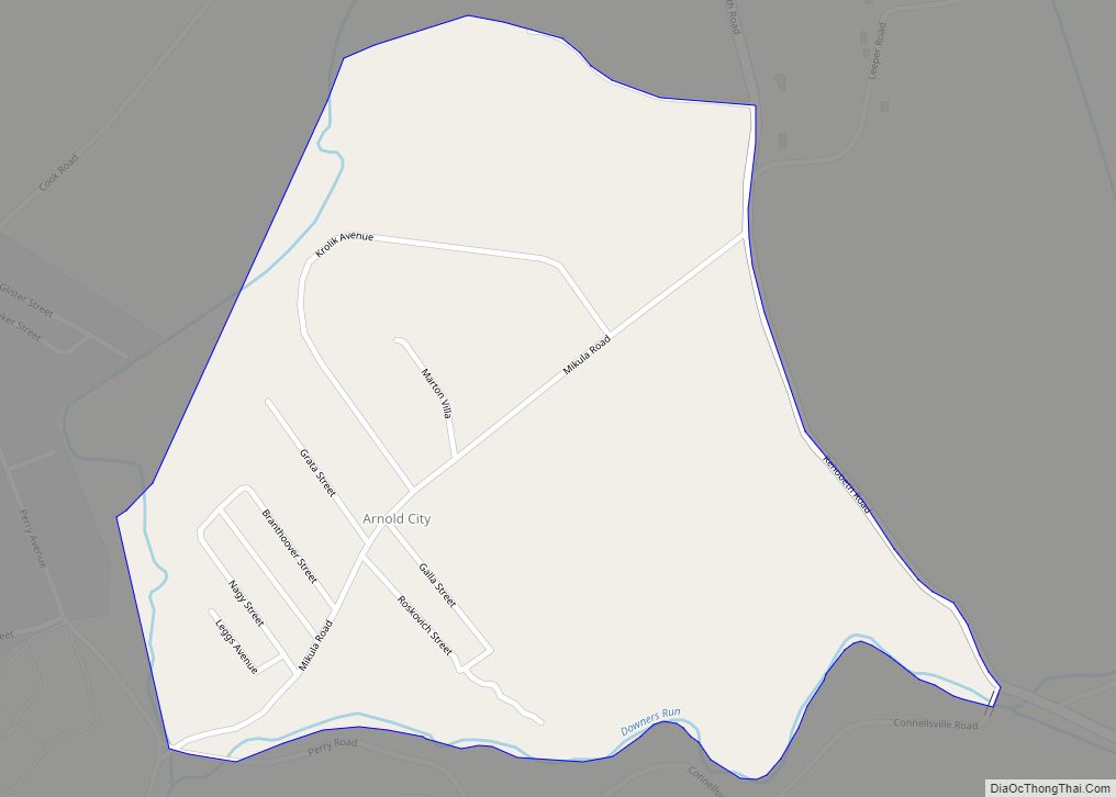
Online Interactive Map
Click on ![]() to view map in "full screen" mode.
to view map in "full screen" mode.
Grindstone location map. Where is Grindstone CDP?
Grindstone Road Map
Grindstone city Satellite Map
See also
Map of Pennsylvania State and its subdivision:- Adams
- Allegheny
- Armstrong
- Beaver
- Bedford
- Berks
- Blair
- Bradford
- Bucks
- Butler
- Cambria
- Cameron
- Carbon
- Centre
- Chester
- Clarion
- Clearfield
- Clinton
- Columbia
- Crawford
- Cumberland
- Dauphin
- Delaware
- Elk
- Erie
- Fayette
- Forest
- Franklin
- Fulton
- Greene
- Huntingdon
- Indiana
- Jefferson
- Juniata
- Lackawanna
- Lancaster
- Lawrence
- Lebanon
- Lehigh
- Luzerne
- Lycoming
- Mc Kean
- Mercer
- Mifflin
- Monroe
- Montgomery
- Montour
- Northampton
- Northumberland
- Perry
- Philadelphia
- Pike
- Potter
- Schuylkill
- Snyder
- Somerset
- Sullivan
- Susquehanna
- Tioga
- Union
- Venango
- Warren
- Washington
- Wayne
- Westmoreland
- Wyoming
- York
- Alabama
- Alaska
- Arizona
- Arkansas
- California
- Colorado
- Connecticut
- Delaware
- District of Columbia
- Florida
- Georgia
- Hawaii
- Idaho
- Illinois
- Indiana
- Iowa
- Kansas
- Kentucky
- Louisiana
- Maine
- Maryland
- Massachusetts
- Michigan
- Minnesota
- Mississippi
- Missouri
- Montana
- Nebraska
- Nevada
- New Hampshire
- New Jersey
- New Mexico
- New York
- North Carolina
- North Dakota
- Ohio
- Oklahoma
- Oregon
- Pennsylvania
- Rhode Island
- South Carolina
- South Dakota
- Tennessee
- Texas
- Utah
- Vermont
- Virginia
- Washington
- West Virginia
- Wisconsin
- Wyoming