Hallam /ˈhɛləm/ HEL-əm is a borough in York County, Pennsylvania, United States. The population was 2,774 at the 2020 census.
| Name: | Hallam borough |
|---|---|
| LSAD Code: | 21 |
| LSAD Description: | borough (suffix) |
| State: | Pennsylvania |
| County: | York County |
| Incorporated: | 1902 |
| Elevation: | 341 ft (104 m) |
| Total Area: | 0.67 sq mi (1.73 km²) |
| Land Area: | 0.67 sq mi (1.73 km²) |
| Water Area: | 0.00 sq mi (0.00 km²) |
| Total Population: | 2,775 |
| Population Density: | 4,166.67/sq mi (1,607.58/km²) |
| ZIP code: | 17406 |
| Area code: | 717 |
| FIPS code: | 4232056 |
| Website: | www.hallamborough.com |
Online Interactive Map
Click on ![]() to view map in "full screen" mode.
to view map in "full screen" mode.
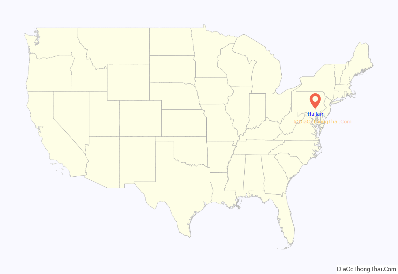
Hallam location map. Where is Hallam borough?
History
Before 1736, all parts of Pennsylvania west of the Susquehanna River, including present-day Hallam Borough and the surrounding Hellam Township, were land of the Iroquois.
In October 1736, the Proprietors of Pennsylvania received from the Five Nations deeds for the Susquehanna lands south of the Blue Mountains, including the borough and township.
From 1736 to 1739, the area was under the authority of Hempfield Township in Lancaster County east of the Susquehanna. In 1739, the Provincial Assembly passed a special act to empower Lancaster County to establish townships west of the river. Hellam Township was created and included most of what is now York, Adams and Cumberland counties. Hellam Township was named after Hallamshire, the township in England where Samuel Blunston, the magistrate of Lancaster County, was born.
When Hallam Borough was incorporated in 1902, the town’s name was spelled Hallam, the same as the English township.
The Martin Schultz House was listed on the National Register of Historic Places in 1993.
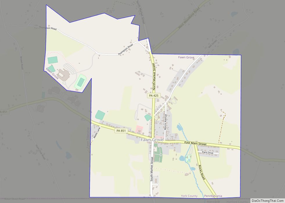
Hallam Road Map
Hallam city Satellite Map
Geography
Hallam is located at 40°0′14″N 76°36′16″W / 40.00389°N 76.60444°W / 40.00389; -76.60444 (40.003897, -76.604528). It is a suburb of York and is part of the York-Hanover Metropolitan Statistical Area, as well as the York-Hanover-Gettysburg Combined Statistical Area.
According to the United States Census Bureau, the borough has a total area of 0.7 square miles (1.8 km), all land.
Hallam is located within the Kreutz Creek watershed.
Climate
Hallam lies on the cusp of a humid subtropical climate zone and experiences four discernible seasons. It receives an average of 43 inches (1,100 mm) of precipitation each year, with the wettest month being June. In January 1994, Hallam experienced its lowest recorded temperature at -21 °F, while the hottest temperature on record was 105 °F in July 1936.
See also
Map of Pennsylvania State and its subdivision:- Adams
- Allegheny
- Armstrong
- Beaver
- Bedford
- Berks
- Blair
- Bradford
- Bucks
- Butler
- Cambria
- Cameron
- Carbon
- Centre
- Chester
- Clarion
- Clearfield
- Clinton
- Columbia
- Crawford
- Cumberland
- Dauphin
- Delaware
- Elk
- Erie
- Fayette
- Forest
- Franklin
- Fulton
- Greene
- Huntingdon
- Indiana
- Jefferson
- Juniata
- Lackawanna
- Lancaster
- Lawrence
- Lebanon
- Lehigh
- Luzerne
- Lycoming
- Mc Kean
- Mercer
- Mifflin
- Monroe
- Montgomery
- Montour
- Northampton
- Northumberland
- Perry
- Philadelphia
- Pike
- Potter
- Schuylkill
- Snyder
- Somerset
- Sullivan
- Susquehanna
- Tioga
- Union
- Venango
- Warren
- Washington
- Wayne
- Westmoreland
- Wyoming
- York
- Alabama
- Alaska
- Arizona
- Arkansas
- California
- Colorado
- Connecticut
- Delaware
- District of Columbia
- Florida
- Georgia
- Hawaii
- Idaho
- Illinois
- Indiana
- Iowa
- Kansas
- Kentucky
- Louisiana
- Maine
- Maryland
- Massachusetts
- Michigan
- Minnesota
- Mississippi
- Missouri
- Montana
- Nebraska
- Nevada
- New Hampshire
- New Jersey
- New Mexico
- New York
- North Carolina
- North Dakota
- Ohio
- Oklahoma
- Oregon
- Pennsylvania
- Rhode Island
- South Carolina
- South Dakota
- Tennessee
- Texas
- Utah
- Vermont
- Virginia
- Washington
- West Virginia
- Wisconsin
- Wyoming
