Harleysville is a census-designated place (CDP) in Montgomery County, Pennsylvania, United States. It is a suburb of Philadelphia. The population was 9,286 at the 2010 census. It is located mostly within Lower Salford Township and also in Franconia Township. Harleysville was settled by Pennsylvania Dutch in the 18th century and was named after Samuel Harley.
| Name: | Harleysville CDP |
|---|---|
| LSAD Code: | 57 |
| LSAD Description: | CDP (suffix) |
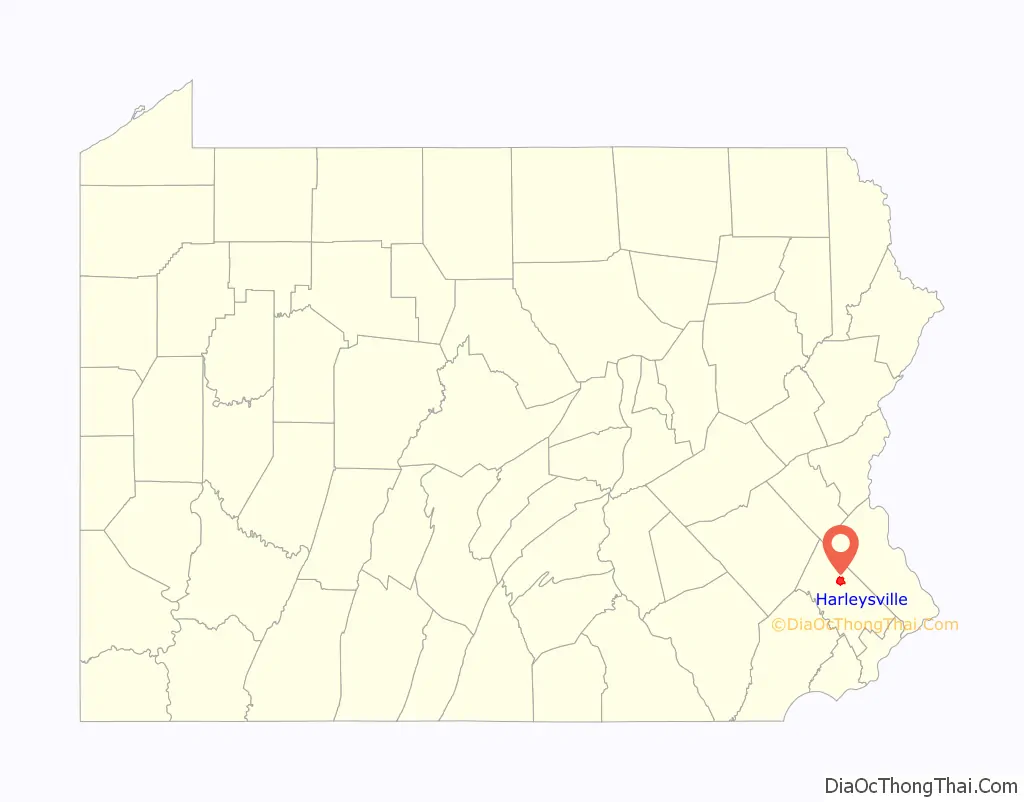
| State: | Pennsylvania |
| County: | Montgomery County |
| Elevation: | 266 ft (81 m) |
| Total Area: | 4.18 sq mi (10.83 km²) |
| Land Area: | 4.18 sq mi (10.82 km²) |
| Water Area: | 0.00 sq mi (0.01 km²) |
| Total Population: | 9,899 |
| Population Density: | 2,369.88/sq mi (914.94/km²) |
| ZIP code: | 19438 |
| FIPS code: | 4232616 |
| Website: | lowersalfordtownship.org |
Online Interactive Map
Click on ![]() to view map in "full screen" mode.
to view map in "full screen" mode.
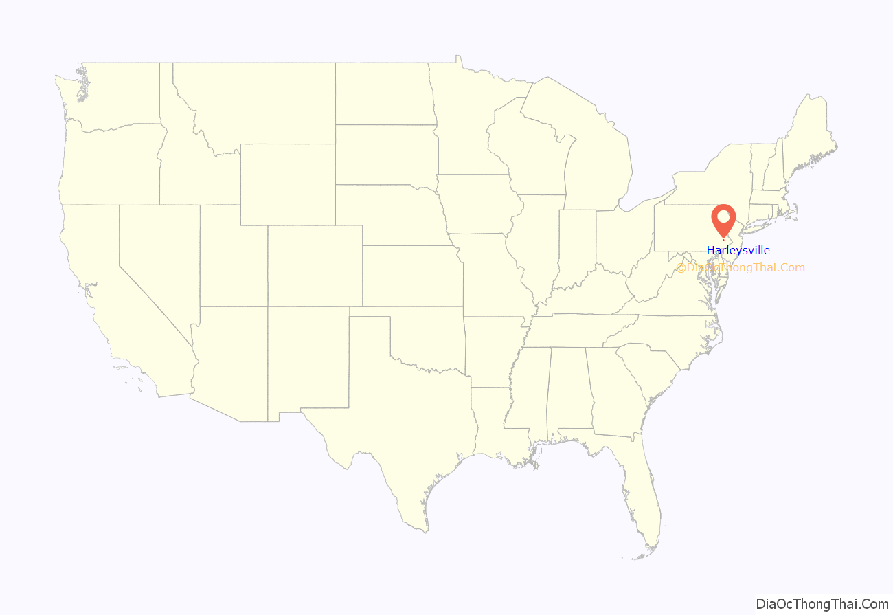
Harleysville location map. Where is Harleysville CDP?
History
Harleysville was settled early in Pennsylvania’s history, c. 1700.
The Klein Meetinghouse was listed on the National Register of Historic Places in 1973.
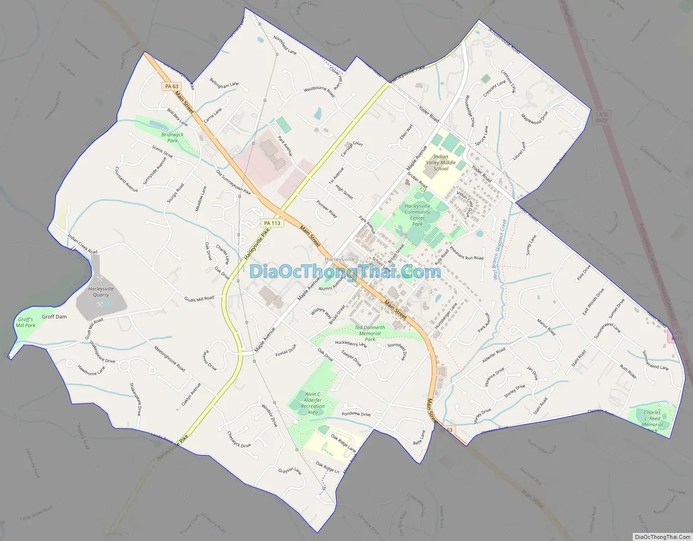
Harleysville Road Map
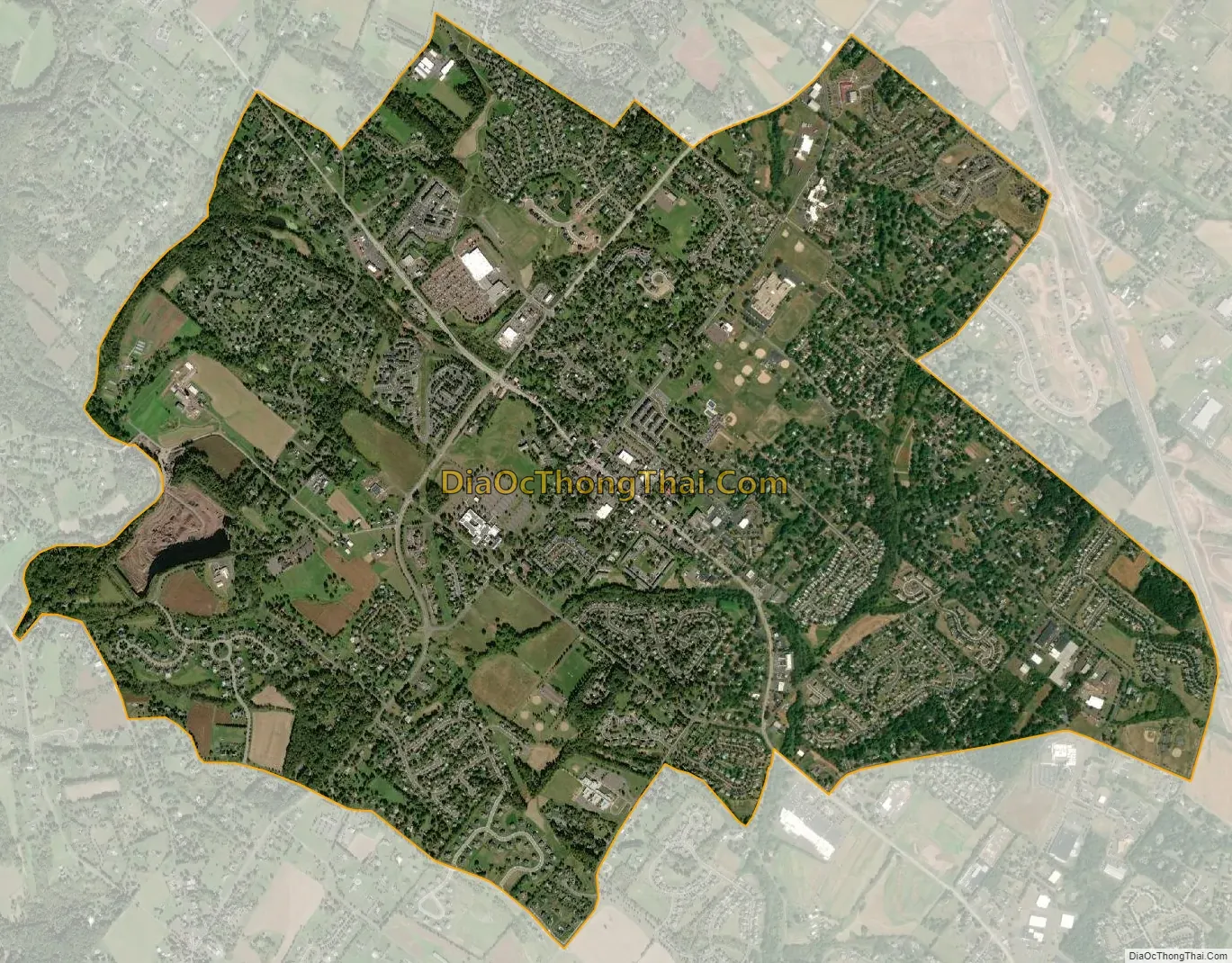
Harleysville city Satellite Map
Geography
According to the U.S. Census Bureau, the CDP has a total area of 4.2 square miles (11 km), all land.
Pennsylvania Route 63 (Main Street) and Pennsylvania Route 113 (Harleysville Pike) meet in Harleysville and provide access to other routes on the main grid. Interstate 476 is a five-minute drive via PA 63 from Harleysville to the Lansdale Interchange, on the Northeast Extension of the Pennsylvania Turnpike. Center City Philadelphia is less than 30 miles (48 km) from Harleysville.
Harleysville is in the watershed of the Perkiomen Creek (a tributary of the Schuylkill River) and is drained by the Indian Creek and Skippack Creek into the Perkiomen.
The CDP has a hot-summer humid continental climate (Dfa) and average monthly temperatures range from 30.5 °F in January to 75.2 °F in July. The hardiness zone is 6b.
See also
Map of Pennsylvania State and its subdivision:- Adams
- Allegheny
- Armstrong
- Beaver
- Bedford
- Berks
- Blair
- Bradford
- Bucks
- Butler
- Cambria
- Cameron
- Carbon
- Centre
- Chester
- Clarion
- Clearfield
- Clinton
- Columbia
- Crawford
- Cumberland
- Dauphin
- Delaware
- Elk
- Erie
- Fayette
- Forest
- Franklin
- Fulton
- Greene
- Huntingdon
- Indiana
- Jefferson
- Juniata
- Lackawanna
- Lancaster
- Lawrence
- Lebanon
- Lehigh
- Luzerne
- Lycoming
- Mc Kean
- Mercer
- Mifflin
- Monroe
- Montgomery
- Montour
- Northampton
- Northumberland
- Perry
- Philadelphia
- Pike
- Potter
- Schuylkill
- Snyder
- Somerset
- Sullivan
- Susquehanna
- Tioga
- Union
- Venango
- Warren
- Washington
- Wayne
- Westmoreland
- Wyoming
- York
- Alabama
- Alaska
- Arizona
- Arkansas
- California
- Colorado
- Connecticut
- Delaware
- District of Columbia
- Florida
- Georgia
- Hawaii
- Idaho
- Illinois
- Indiana
- Iowa
- Kansas
- Kentucky
- Louisiana
- Maine
- Maryland
- Massachusetts
- Michigan
- Minnesota
- Mississippi
- Missouri
- Montana
- Nebraska
- Nevada
- New Hampshire
- New Jersey
- New Mexico
- New York
- North Carolina
- North Dakota
- Ohio
- Oklahoma
- Oregon
- Pennsylvania
- Rhode Island
- South Carolina
- South Dakota
- Tennessee
- Texas
- Utah
- Vermont
- Virginia
- Washington
- West Virginia
- Wisconsin
- Wyoming


