Hartleton is a borough in Union County, Pennsylvania, United States. The population was 247 at the 2020 census. The borough, as well as the adjoining township of Hartley, are both named for Colonel Thomas Hartley, American politician and Revolutionary War leader, and local landowner. An alternative name was Hartleyton and later shortened to the present name. The original name was Kester’s (akin to Keister today), and named for Peter Kester who was the first tenant of Hartley. Kester’s was at the intersection of “great Reuben Haines road” from Northumberland through Dry Valley, New Berlin and the Penns Valley Narrows, and the first public road laid out in the area by Northumberland County court from Northumberland through Derrstown (Lewisburg) and Mifflinburg (this road from Derrstown through the Penns Valley Narrows eventually became what is known as the turnpike). Hartley never lived there, as his home was in York, PA. Hartley acquired the land in 1784 from original purchaser Colonel Philip Cole after Cole left the area because of the “Big Runaway” of 1778. Cole purchased the land in 1773, and was living there in 1775. Hartley laid out a town as early as 1798, and the first lot sold in 1799.
| Name: | Hartleton borough |
|---|---|
| LSAD Code: | 21 |
| LSAD Description: | borough (suffix) |
| State: | Pennsylvania |
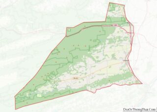
| County: | Union County |
| Total Area: | 0.91 sq mi (2.35 km²) |
| Land Area: | 0.91 sq mi (2.35 km²) |
| Water Area: | 0.00 sq mi (0.00 km²) |
| Total Population: | 251 |
| Population Density: | 276.43/sq mi (106.69/km²) |
| Area code: | 570 |
| FIPS code: | 4232936 |
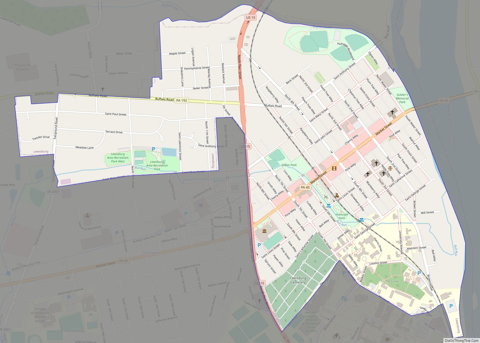
Online Interactive Map
Click on ![]() to view map in "full screen" mode.
to view map in "full screen" mode.
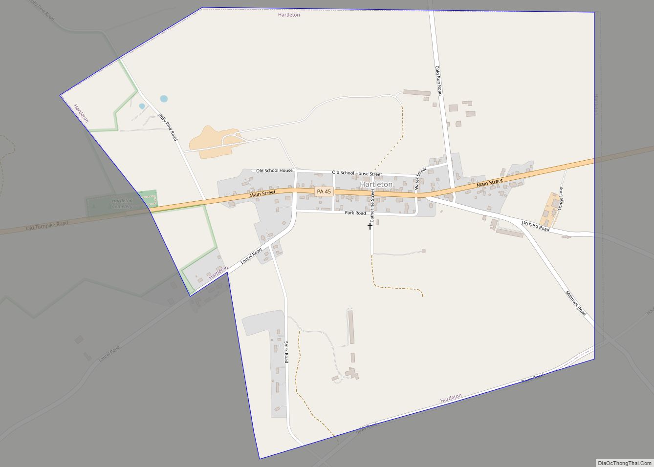
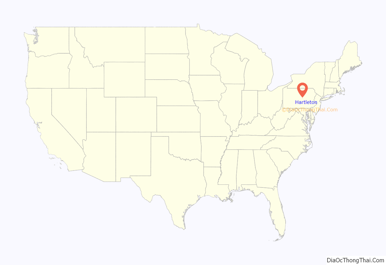
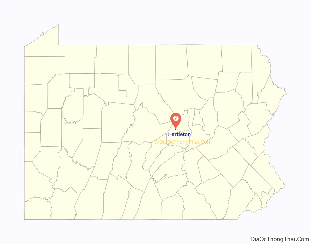
Hartleton location map. Where is Hartleton borough?
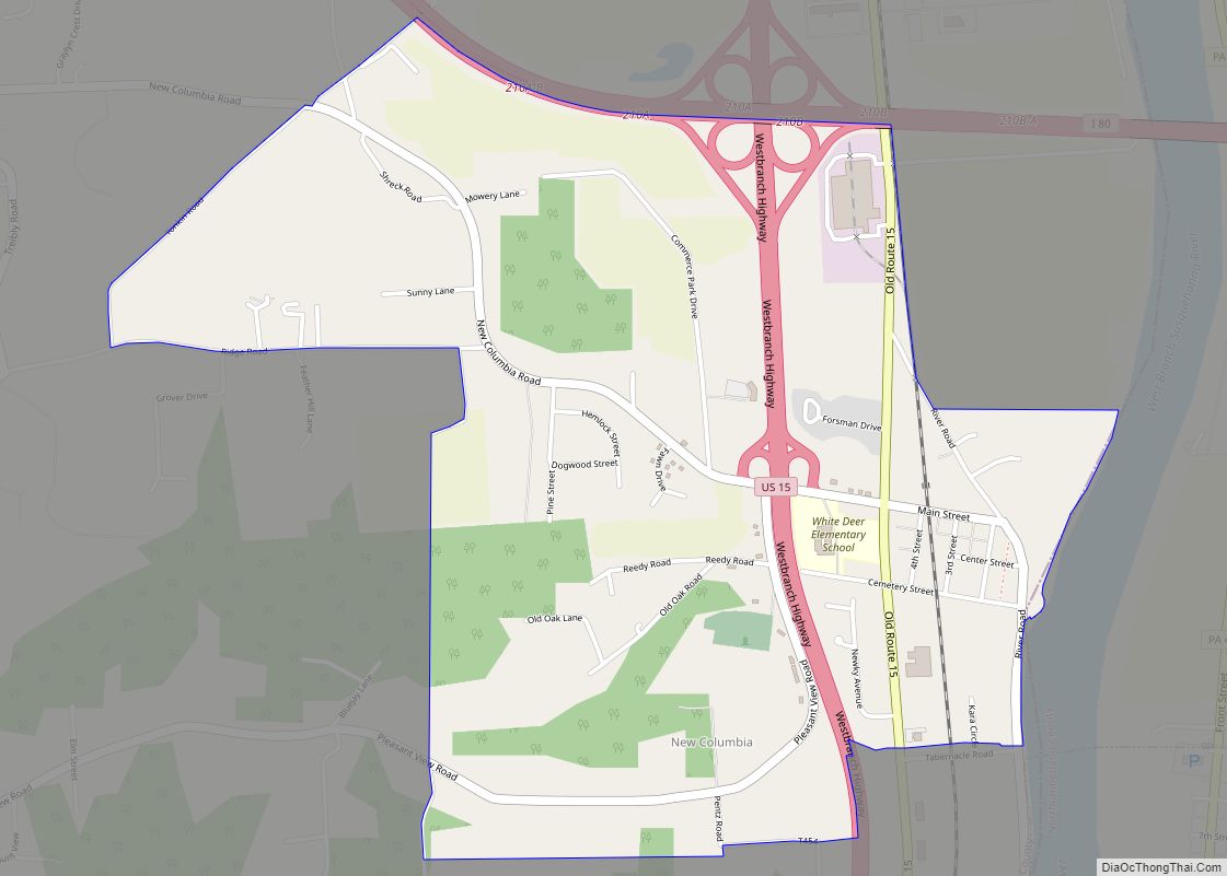
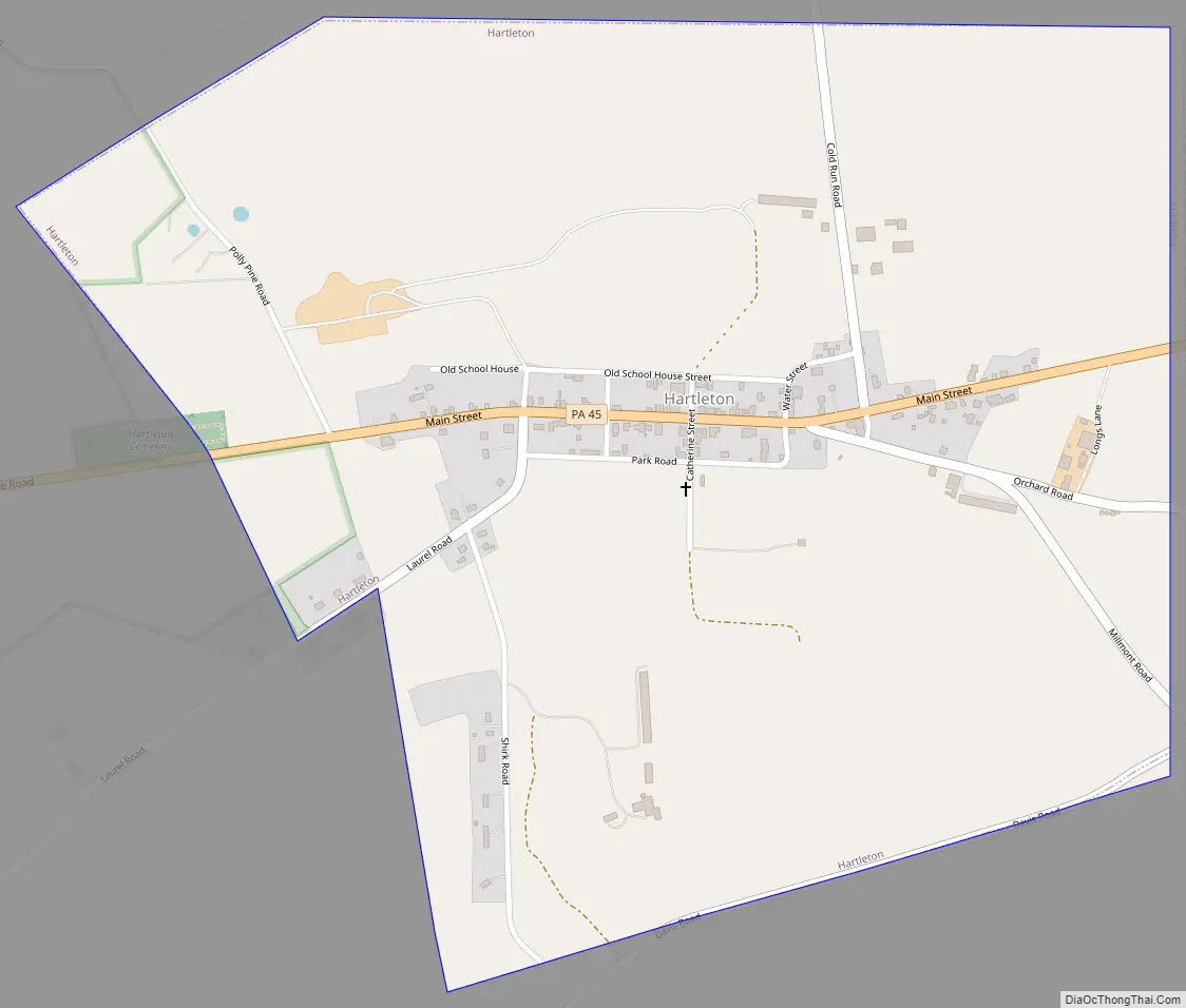
Hartleton Road Map
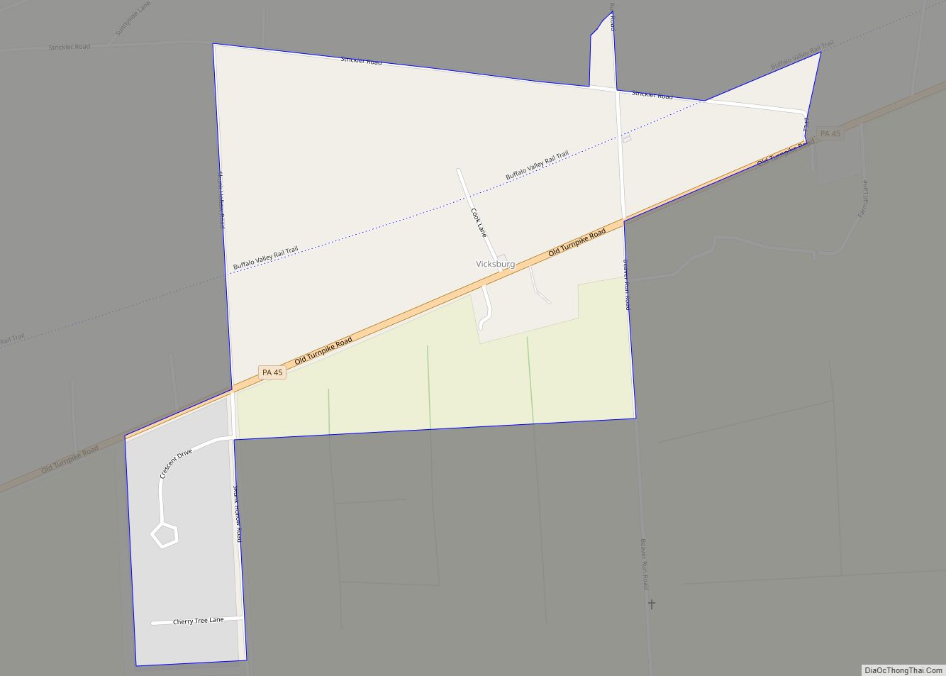
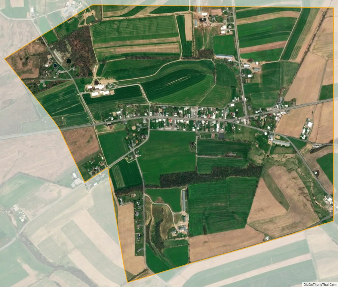
Hartleton city Satellite Map
Geography
Hartleton is located at 40°54′1″N 77°9′19″W / 40.90028°N 77.15528°W / 40.90028; -77.15528 (40.900148, -77.155229).
According to the United States Census Bureau, the borough has a total area of 0.9 square miles (2.3 km), all land.
See also
Map of Pennsylvania State and its subdivision:- Adams
- Allegheny
- Armstrong
- Beaver
- Bedford
- Berks
- Blair
- Bradford
- Bucks
- Butler
- Cambria
- Cameron
- Carbon
- Centre
- Chester
- Clarion
- Clearfield
- Clinton
- Columbia
- Crawford
- Cumberland
- Dauphin
- Delaware
- Elk
- Erie
- Fayette
- Forest
- Franklin
- Fulton
- Greene
- Huntingdon
- Indiana
- Jefferson
- Juniata
- Lackawanna
- Lancaster
- Lawrence
- Lebanon
- Lehigh
- Luzerne
- Lycoming
- Mc Kean
- Mercer
- Mifflin
- Monroe
- Montgomery
- Montour
- Northampton
- Northumberland
- Perry
- Philadelphia
- Pike
- Potter
- Schuylkill
- Snyder
- Somerset
- Sullivan
- Susquehanna
- Tioga
- Union
- Venango
- Warren
- Washington
- Wayne
- Westmoreland
- Wyoming
- York
- Alabama
- Alaska
- Arizona
- Arkansas
- California
- Colorado
- Connecticut
- Delaware
- District of Columbia
- Florida
- Georgia
- Hawaii
- Idaho
- Illinois
- Indiana
- Iowa
- Kansas
- Kentucky
- Louisiana
- Maine
- Maryland
- Massachusetts
- Michigan
- Minnesota
- Mississippi
- Missouri
- Montana
- Nebraska
- Nevada
- New Hampshire
- New Jersey
- New Mexico
- New York
- North Carolina
- North Dakota
- Ohio
- Oklahoma
- Oregon
- Pennsylvania
- Rhode Island
- South Carolina
- South Dakota
- Tennessee
- Texas
- Utah
- Vermont
- Virginia
- Washington
- West Virginia
- Wisconsin
- Wyoming