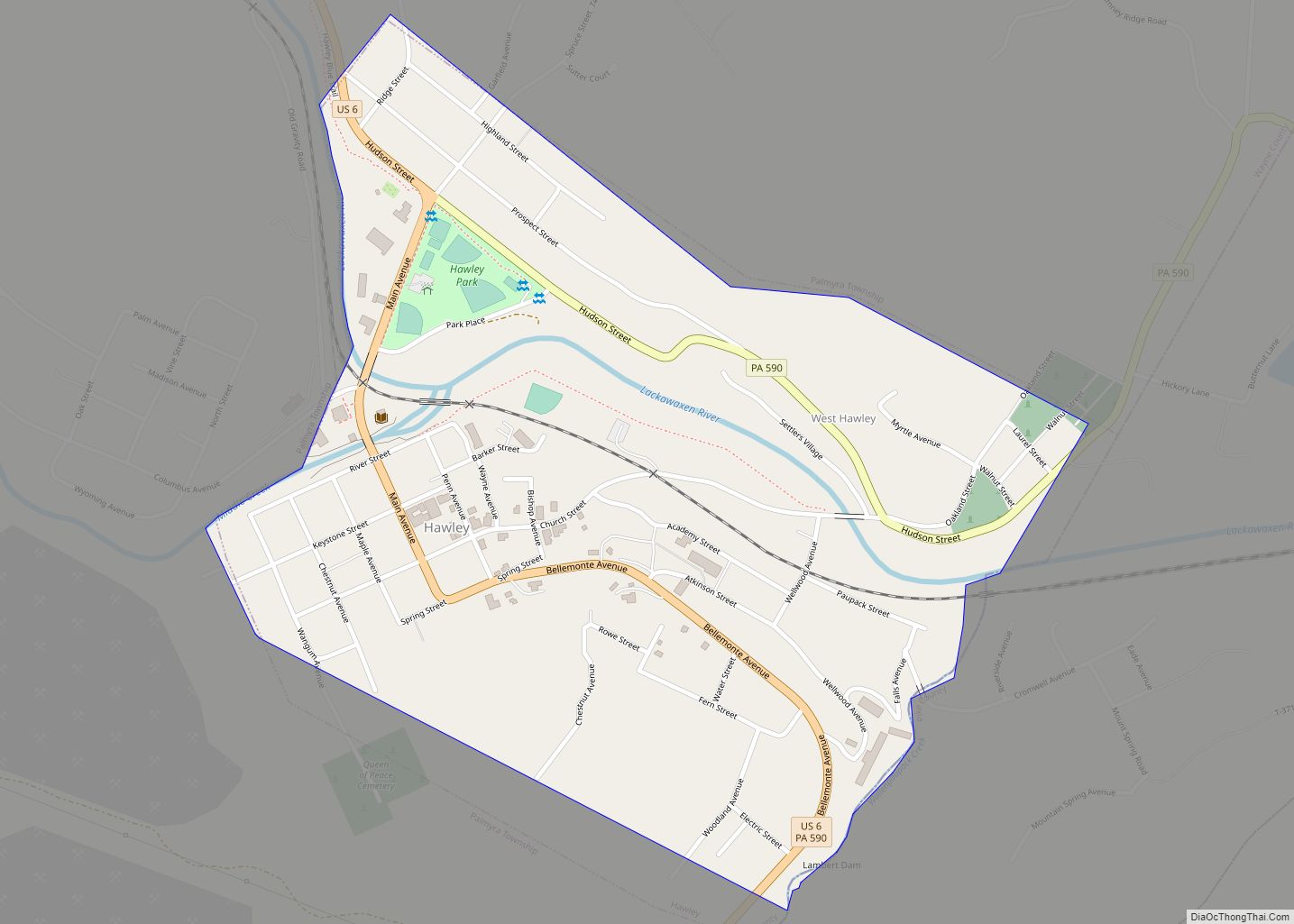
Hawley is a borough on the Lackawaxen River in Wayne County, Pennsylvania, United States. The borough’s population was 1,229 at the time of the 2020 United States Census.
| Name: | Hawley borough |
|---|---|
| LSAD Code: | 21 |
| LSAD Description: | borough (suffix) |
| State: | Pennsylvania |
| County: | Wayne County |
| Elevation: | 1,033 ft (315 m) |
| Total Area: | 0.62 sq mi (1.60 km²) |
| Land Area: | 0.58 sq mi (1.50 km²) |
| Water Area: | 0.04 sq mi (0.09 km²) |
| Total Population: | 1,229 |
| Population Density: | 2,115.32/sq mi (817.14/km²) |
| ZIP code: | 18428, 18438 |
| Area code: | 570 and 272 |
| FIPS code: | 4233200 |
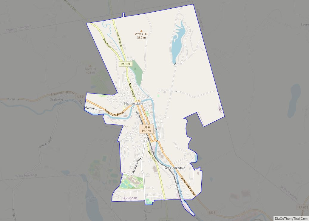
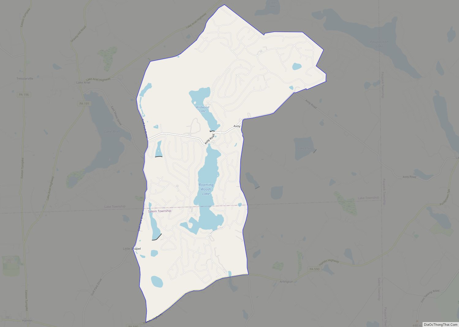
Online Interactive Map
Click on ![]() to view map in "full screen" mode.
to view map in "full screen" mode.
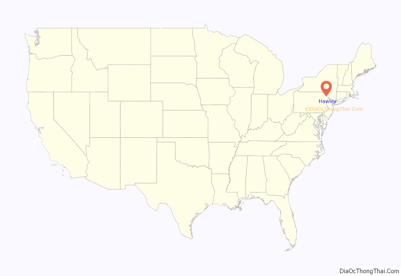
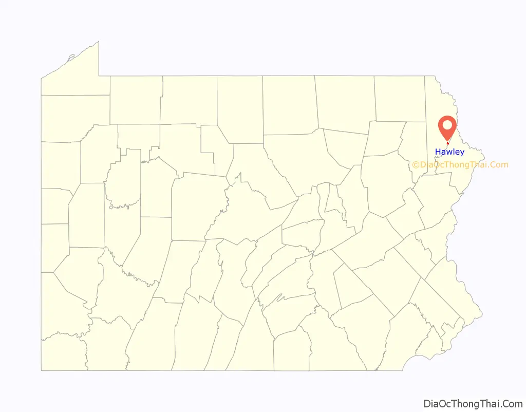
Hawley location map. Where is Hawley borough?
History
The borough was named for Irad Hawley, first president of the Pennsylvania Coal Company. Early industry centered on the transportation and support of nearby coal mining operations along with manufacturing facilities. The Bellemonte Silk Mill, regarded as the largest bluestone building in the world, and J.S. O’Connor American Rich Cut Glassware Factory are listed on the National Register of Historic Places.
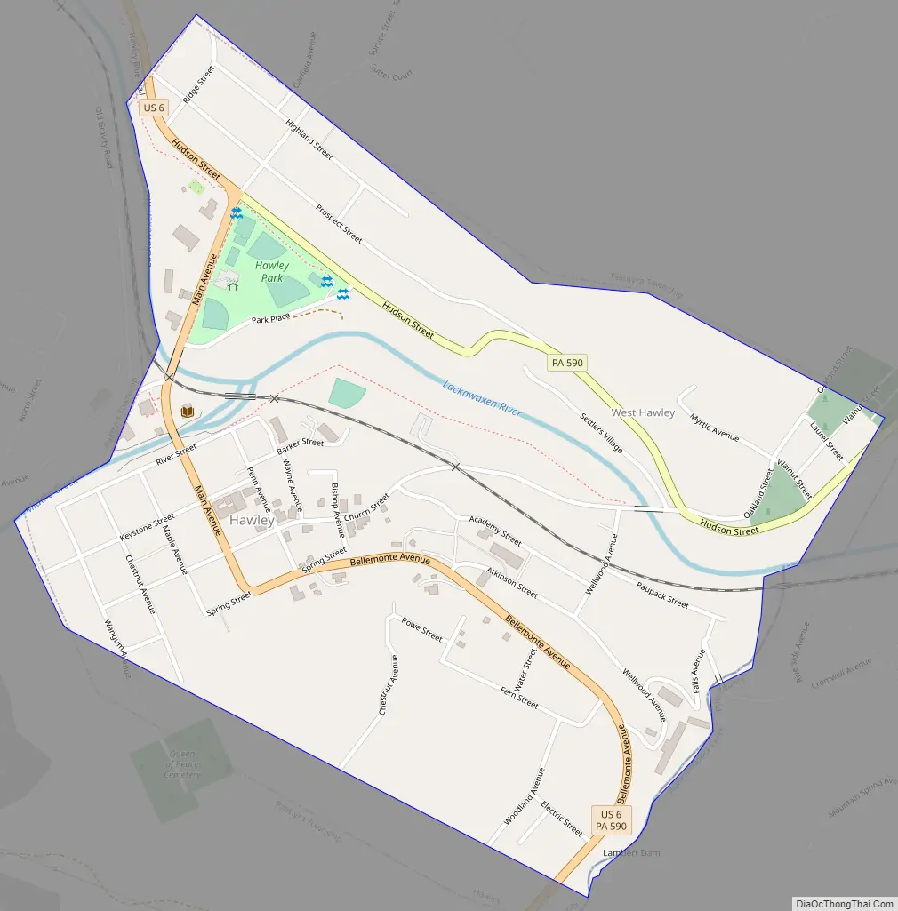
Hawley Road Map
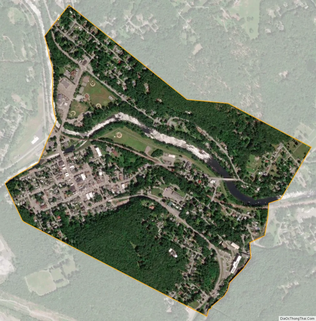
Hawley city Satellite Map
Geography
Hawley is located where Middle Creek enters the Lackawaxen River, at 41°28′42″N 75°10′45″W / 41.47833°N 75.17917°W / 41.47833; -75.17917 (41.478225, -75.179154) at an elevation of 1,033 feet (314.9 m). Hawley students attend Wallenpaupack Areas Schools, with high, middle, and primary schools approximately five miles from town and located on the shores of Lake Wallenpaupack. Some kindergarten children attended school in the former Hawley High School, a WPA project and located in the borough, up until a few years ago when they were transferred back to the primary school.
According to the United States Census Bureau, the borough has a total area of 0.6 square miles (1.6 km), of which 0.6 square miles (1.6 km) is land and 0.04 square miles (0.10 km) (3.12%) is water.
Climate
See also
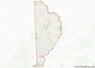
Map of Pennsylvania State and its subdivision:- Adams
- Allegheny
- Armstrong
- Beaver
- Bedford
- Berks
- Blair
- Bradford
- Bucks
- Butler
- Cambria
- Cameron
- Carbon
- Centre
- Chester
- Clarion
- Clearfield
- Clinton
- Columbia
- Crawford
- Cumberland
- Dauphin
- Delaware
- Elk
- Erie
- Fayette
- Forest
- Franklin
- Fulton
- Greene
- Huntingdon
- Indiana
- Jefferson
- Juniata
- Lackawanna
- Lancaster
- Lawrence
- Lebanon
- Lehigh
- Luzerne
- Lycoming
- Mc Kean
- Mercer
- Mifflin
- Monroe
- Montgomery
- Montour
- Northampton
- Northumberland
- Perry
- Philadelphia
- Pike
- Potter
- Schuylkill
- Snyder
- Somerset
- Sullivan
- Susquehanna
- Tioga
- Union
- Venango
- Warren
- Washington
- Wayne
- Westmoreland
- Wyoming
- York
- Alabama
- Alaska
- Arizona
- Arkansas
- California
- Colorado
- Connecticut
- Delaware
- District of Columbia
- Florida
- Georgia
- Hawaii
- Idaho
- Illinois
- Indiana
- Iowa
- Kansas
- Kentucky
- Louisiana
- Maine
- Maryland
- Massachusetts
- Michigan
- Minnesota
- Mississippi
- Missouri
- Montana
- Nebraska
- Nevada
- New Hampshire
- New Jersey
- New Mexico
- New York
- North Carolina
- North Dakota
- Ohio
- Oklahoma
- Oregon
- Pennsylvania
- Rhode Island
- South Carolina
- South Dakota
- Tennessee
- Texas
- Utah
- Vermont
- Virginia
- Washington
- West Virginia
- Wisconsin
- Wyoming