Indian Lake (Private Lake only to land owners within the borough) is a borough in Somerset County, Pennsylvania, United States. It is part of the Johnstown, Pennsylvania Metropolitan Statistical Area. The population was 391 at the 2020 census, down from 394 in 2010. Indian Lake is home to Indian Lake Golf Club, which opened in 1974, and was the first to be designed by Arnold Palmer, Northwinds Golf Course (public), Indian Lake Resort (fine dining, banquet, and lodging), Indian Lake Marina, and the James W. McIntyre Hiking and Biking Trail.
While the crash of United Airlines Flight 93 is often reported as Shanksville, it is actually a bit closer to Indian Lake, approximately 1.5 vis-a-vis two miles away. The actual location of the crash was in a field in Stonycreek Township.
| Name: | Indian Lake borough |
|---|---|
| LSAD Code: | 21 |
| LSAD Description: | borough (suffix) |
| State: | Pennsylvania |
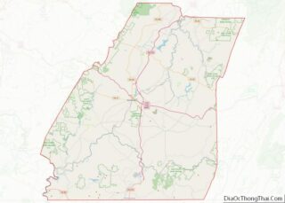
| County: | Somerset County |
| Elevation: | 2,281 ft (695 m) |
| Total Area: | 4.35 sq mi (11.26 km²) |
| Land Area: | 3.56 sq mi (9.23 km²) |
| Water Area: | 0.79 sq mi (2.04 km²) |
| Total Population: | 390 |
| Population Density: | 109.46/sq mi (42.26/km²) |
| Area code: | 814 |
| FIPS code: | 4236888 |
Online Interactive Map
Click on ![]() to view map in "full screen" mode.
to view map in "full screen" mode.
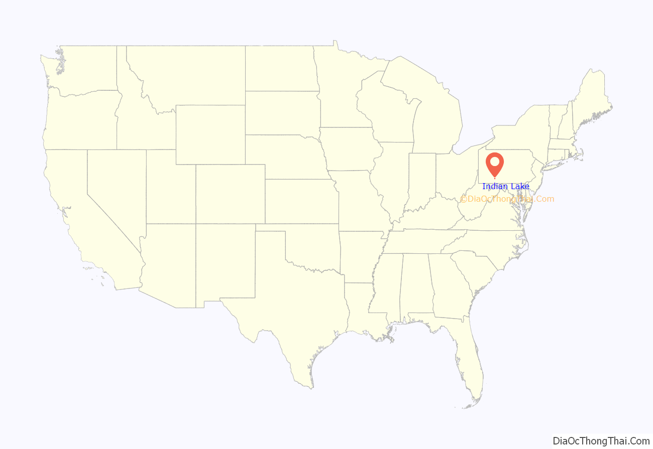
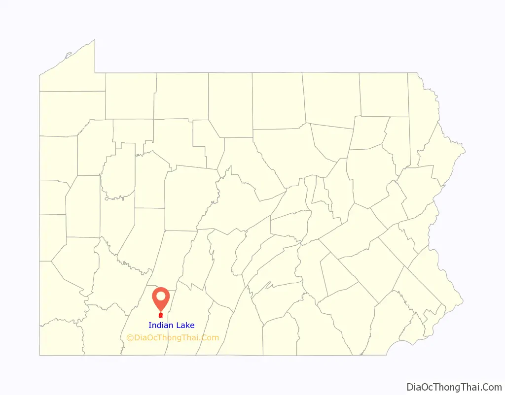
Indian Lake location map. Where is Indian Lake borough?
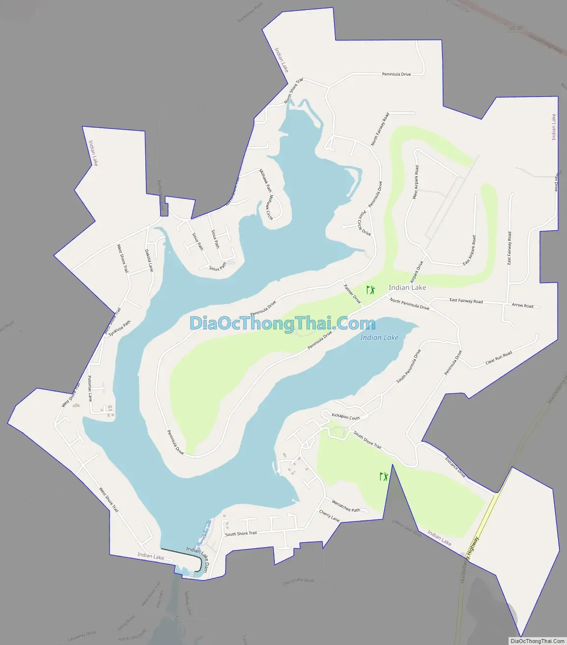
Indian Lake Road Map
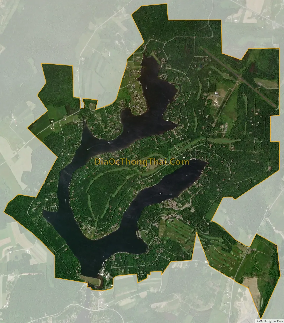
Indian Lake city Satellite Map
Geography
Indian Lake is located at 40°2′51″N 78°51′33″W / 40.04750°N 78.85917°W / 40.04750; -78.85917 (40.047616, -78.859198).
According to the United States Census Bureau, the borough has a total area of 4.5 square miles (12 km), of which, 3.7 square miles (9.6 km) of it is land and 0.8 square miles (2.1 km) of it (17.26%) is water.
Indian Lake has the fourth-highest elevation of towns in Pennsylvania, at 2281 feet. This is the Lake water level, homes at Indian Lake range from 2300 to 2550 feet in base elevation.
See also
Map of Pennsylvania State and its subdivision:- Adams
- Allegheny
- Armstrong
- Beaver
- Bedford
- Berks
- Blair
- Bradford
- Bucks
- Butler
- Cambria
- Cameron
- Carbon
- Centre
- Chester
- Clarion
- Clearfield
- Clinton
- Columbia
- Crawford
- Cumberland
- Dauphin
- Delaware
- Elk
- Erie
- Fayette
- Forest
- Franklin
- Fulton
- Greene
- Huntingdon
- Indiana
- Jefferson
- Juniata
- Lackawanna
- Lancaster
- Lawrence
- Lebanon
- Lehigh
- Luzerne
- Lycoming
- Mc Kean
- Mercer
- Mifflin
- Monroe
- Montgomery
- Montour
- Northampton
- Northumberland
- Perry
- Philadelphia
- Pike
- Potter
- Schuylkill
- Snyder
- Somerset
- Sullivan
- Susquehanna
- Tioga
- Union
- Venango
- Warren
- Washington
- Wayne
- Westmoreland
- Wyoming
- York
- Alabama
- Alaska
- Arizona
- Arkansas
- California
- Colorado
- Connecticut
- Delaware
- District of Columbia
- Florida
- Georgia
- Hawaii
- Idaho
- Illinois
- Indiana
- Iowa
- Kansas
- Kentucky
- Louisiana
- Maine
- Maryland
- Massachusetts
- Michigan
- Minnesota
- Mississippi
- Missouri
- Montana
- Nebraska
- Nevada
- New Hampshire
- New Jersey
- New Mexico
- New York
- North Carolina
- North Dakota
- Ohio
- Oklahoma
- Oregon
- Pennsylvania
- Rhode Island
- South Carolina
- South Dakota
- Tennessee
- Texas
- Utah
- Vermont
- Virginia
- Washington
- West Virginia
- Wisconsin
- Wyoming