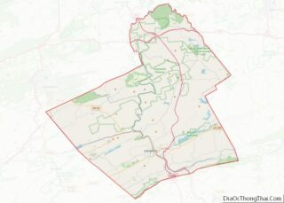
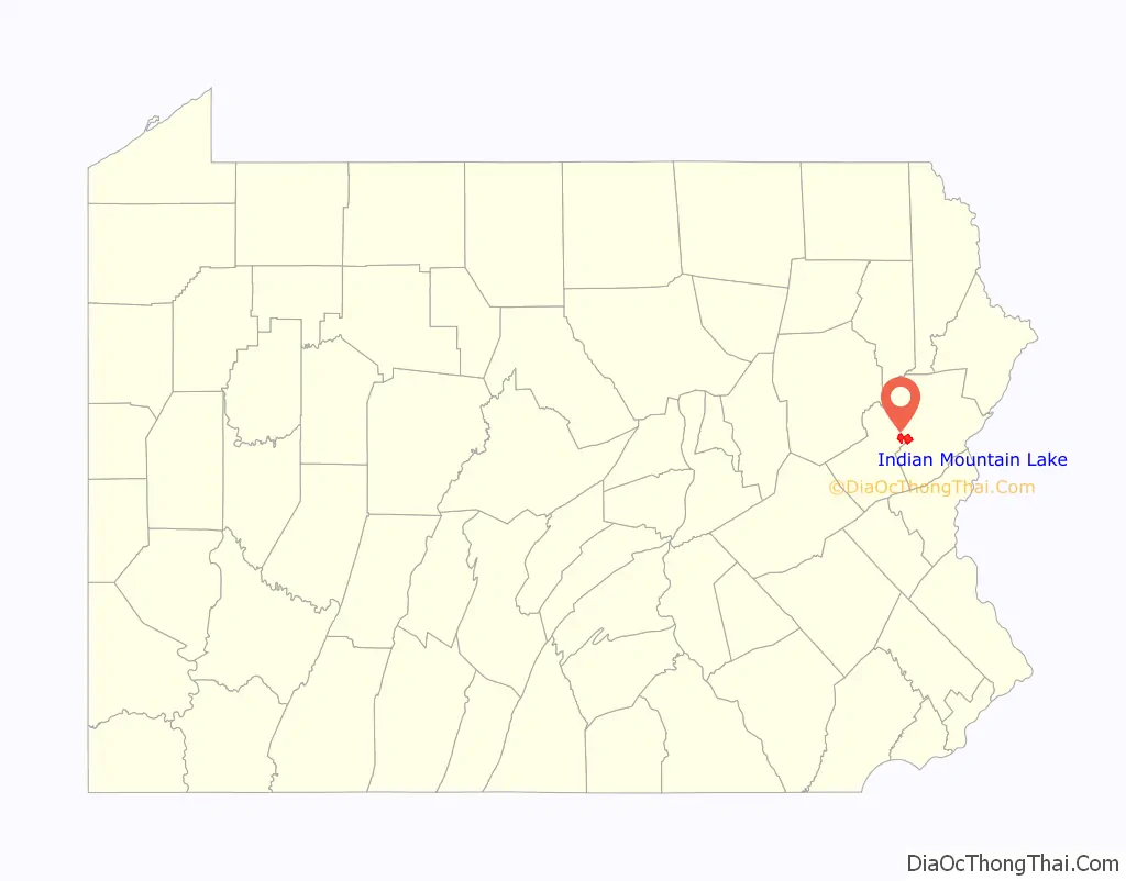
Indian Mountain Lake is a census-designated place (CDP) in Carbon County and Monroe County, Pennsylvania. It is part of Northeastern Pennsylvania.
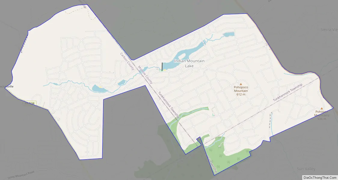
The Carbon County portion of the CDP is located in Penn Forest Township, while the Monroe County portion is in Tunkhannock and Chestnuthill townships. As of the 2020 census, the population of the community was 4,733. There are 3,262 single-family residential building lots in the community as of 2020 records.
| Name: | Indian Mountain Lake CDP |
|---|---|
| LSAD Code: | 57 |
| LSAD Description: | CDP (suffix) |
| State: | Pennsylvania |
| County: | Carbon County, Monroe County |
| Elevation: | 1,785 ft (544 m) |
| Total Area: | 6.46 sq mi (16.73 km²) |
| Land Area: | 6.37 sq mi (16.50 km²) |
| Water Area: | 0.09 sq mi (0.23 km²) |
| Total Population: | 4,733 |
| Population Density: | 742.78/sq mi (286.79/km²) |
| Area code: | 570 & 272 |
| FIPS code: | 4236904 |
| GNISfeature ID: | 2633697 |
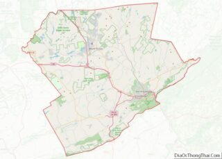
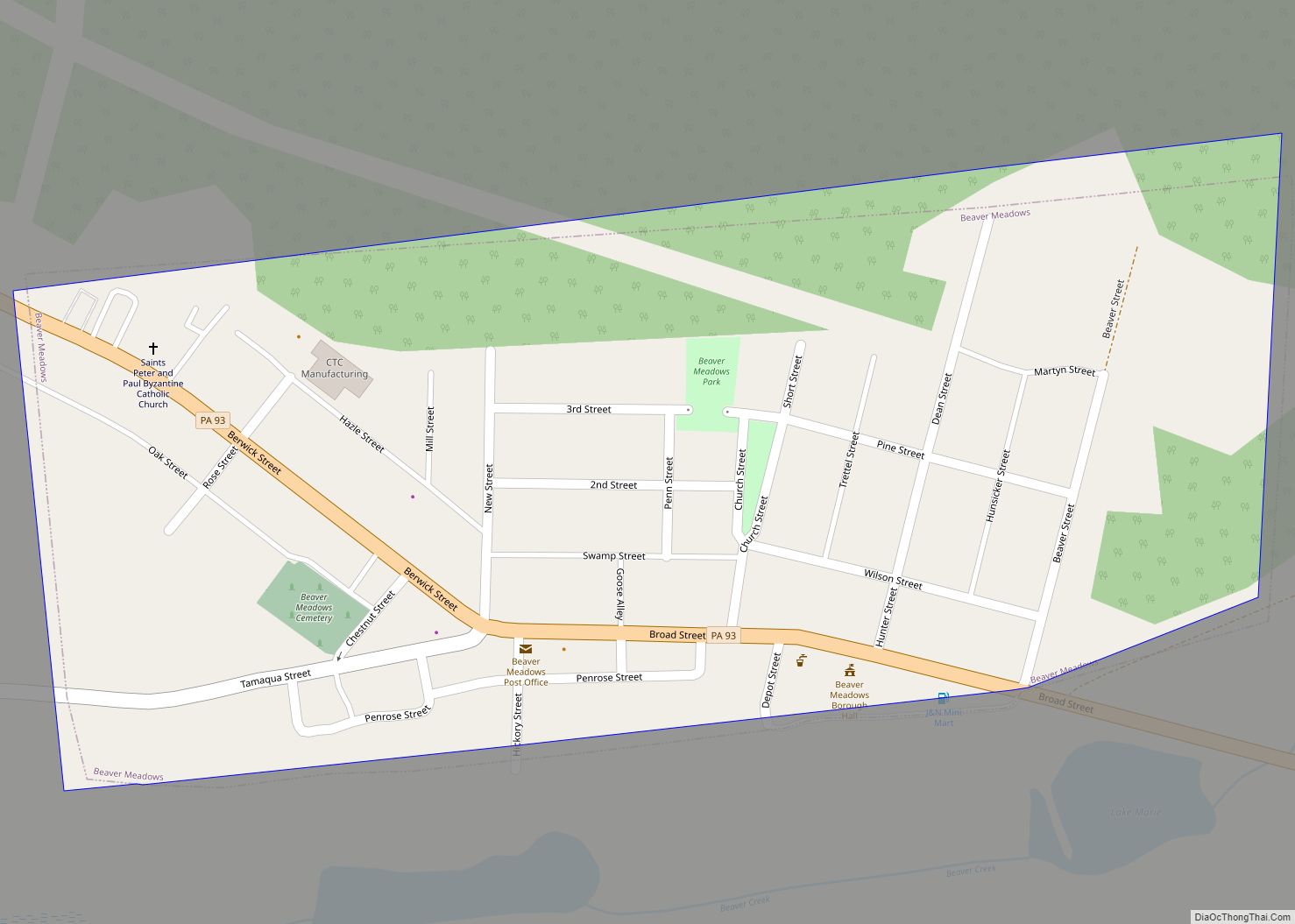
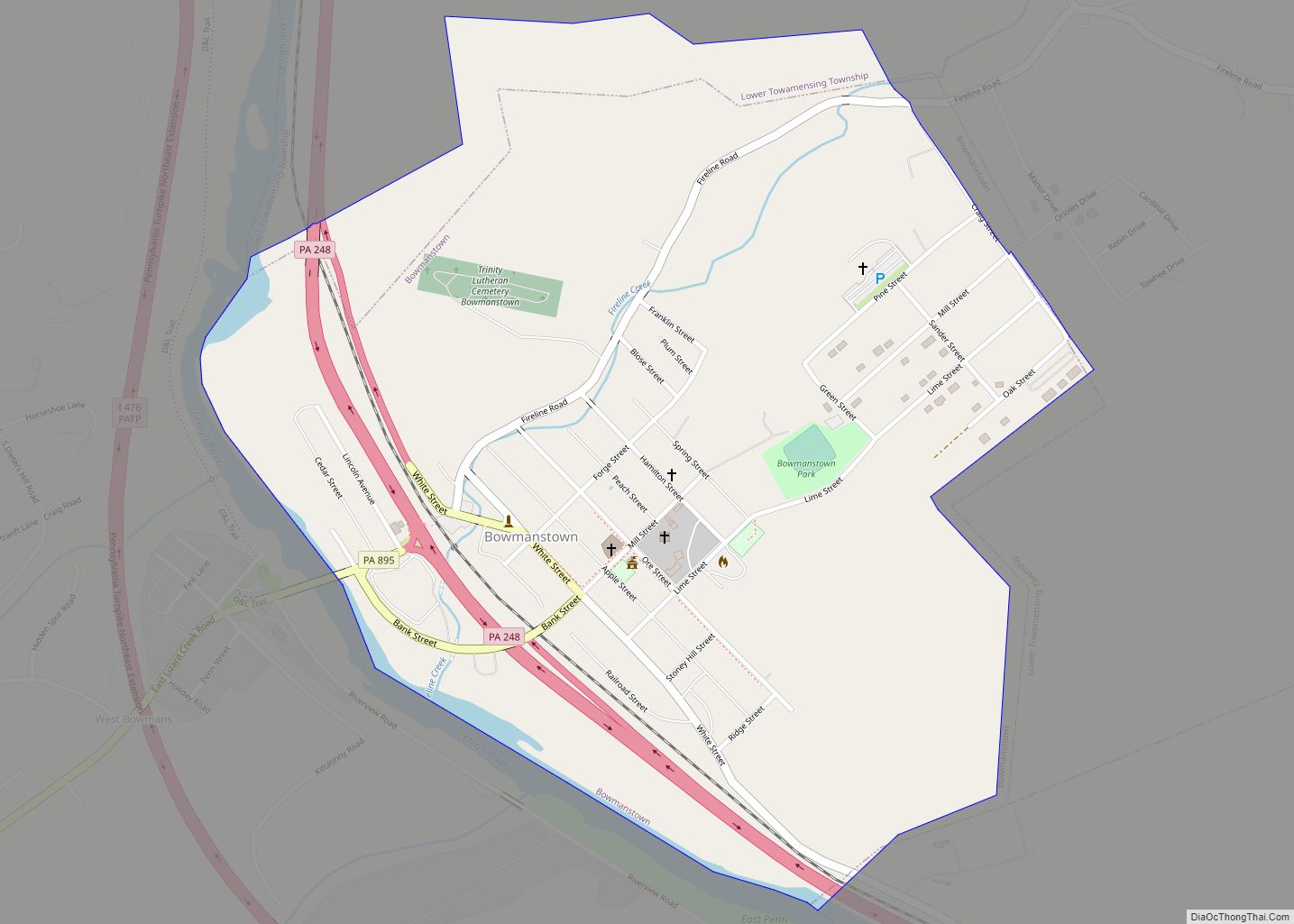
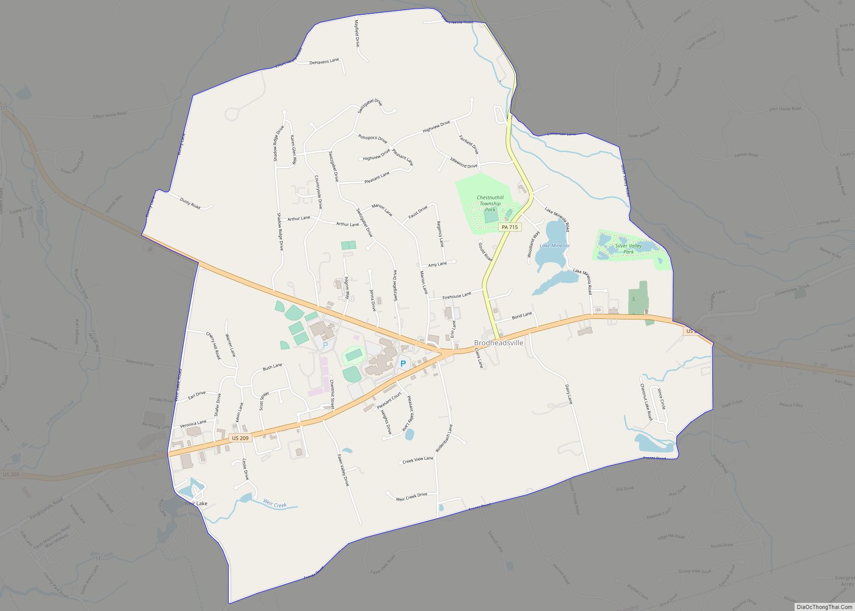
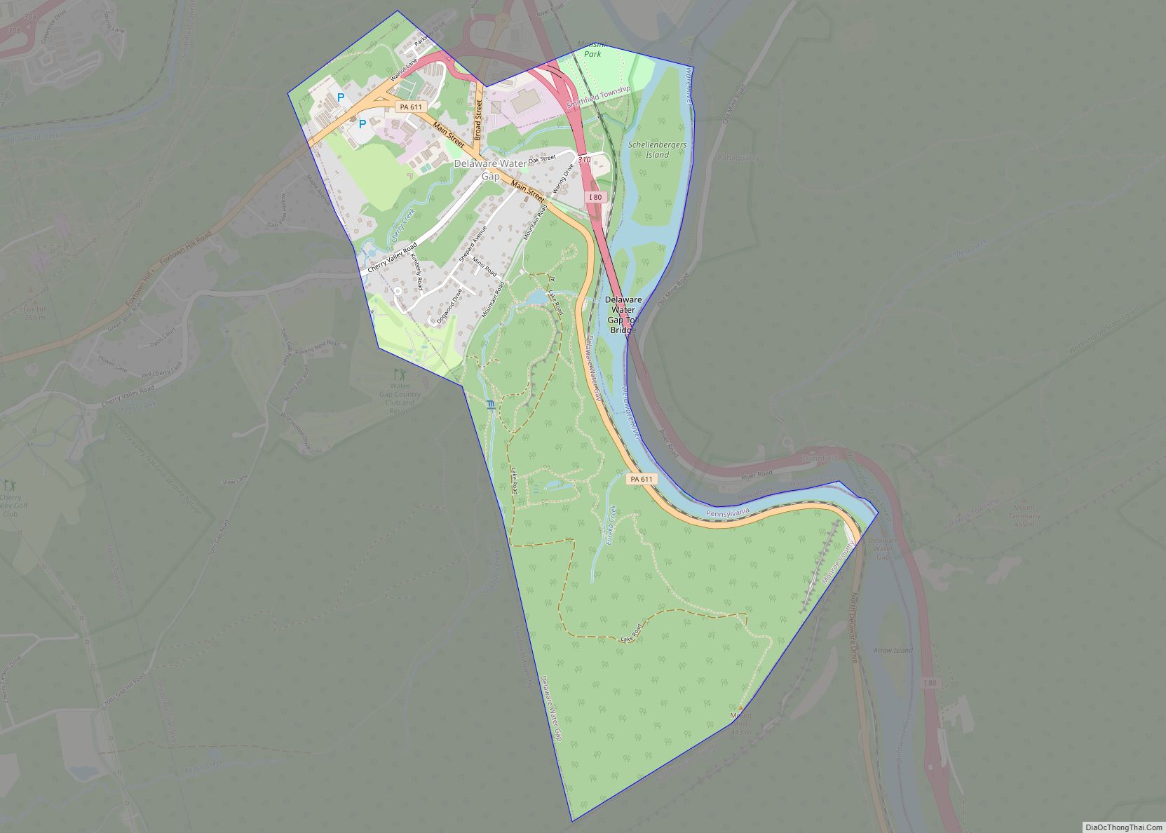
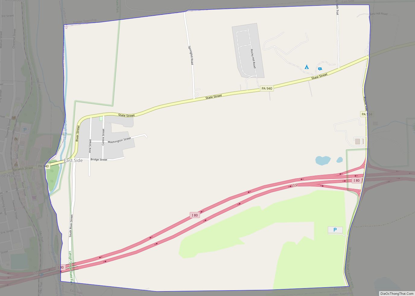
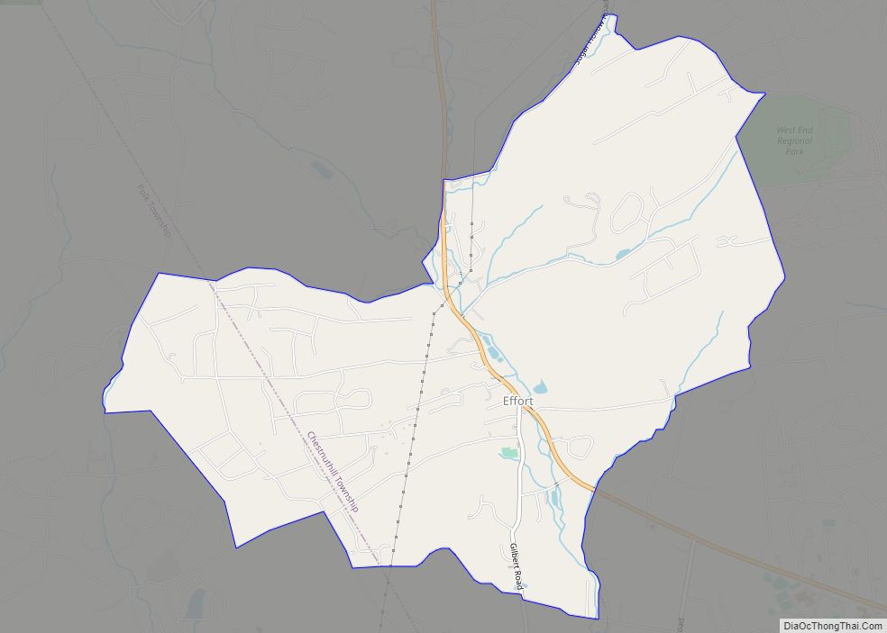
Online Interactive Map
Click on ![]() to view map in "full screen" mode.
to view map in "full screen" mode.
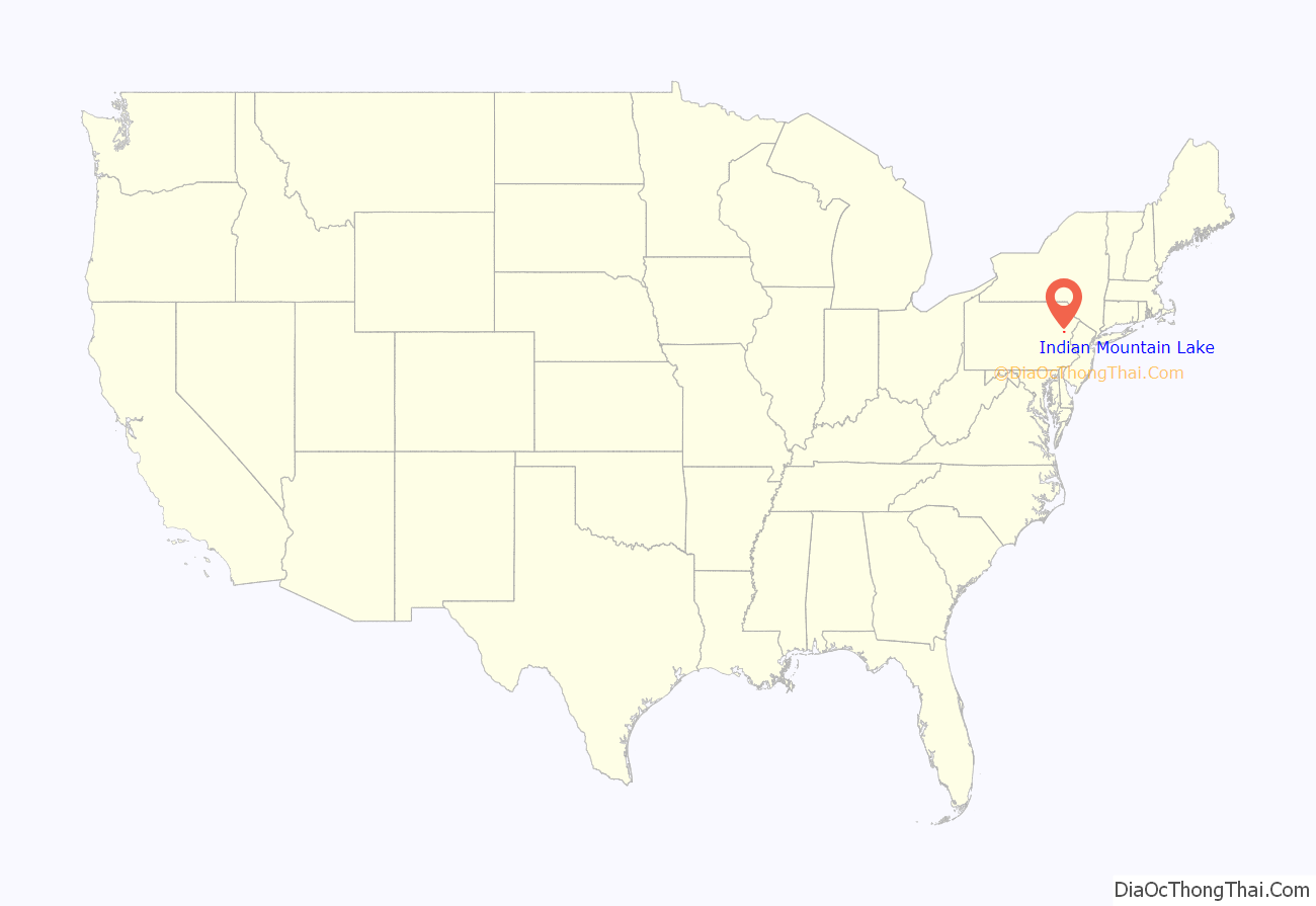
Indian Mountain Lake location map. Where is Indian Mountain Lake CDP?
History
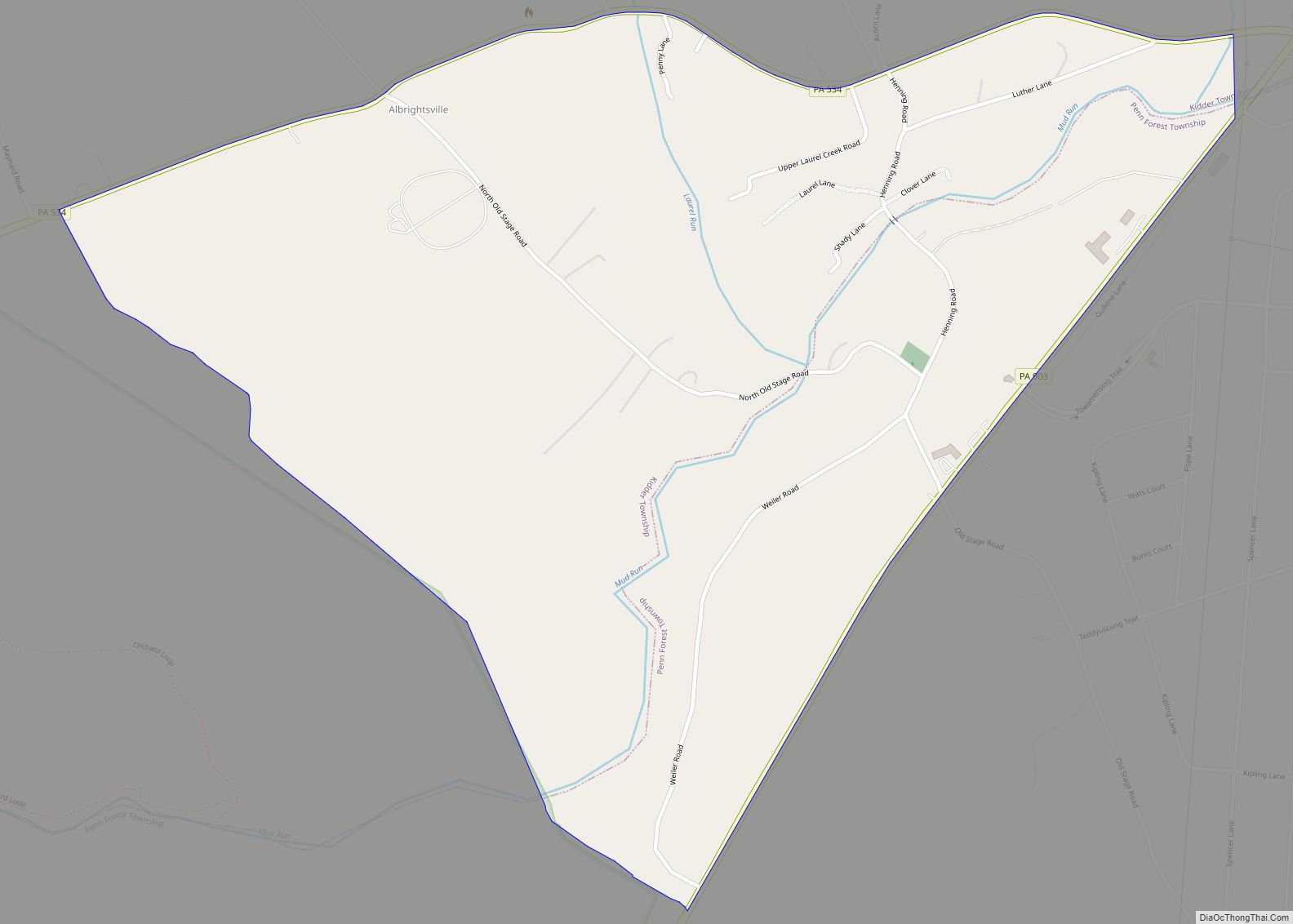
The community of Indian Mountain Lake lies at the southern edge of the Poconos, on top of Pohopoco Mountain and extending north to the valley of Mud Run, which is impounded to form the small Indian Mountain Lake. The western edge of the CDP follows Pennsylvania Route 534, and Pennsylvania Route 115 crosses the eastern side of the community. Interstate 80 is 7 miles (11 km) to the northwest via PA 115, and Brodheadsville on U.S. Route 209 is 8 miles (13 km) to the south.
Indian Mountain Lake Road Map
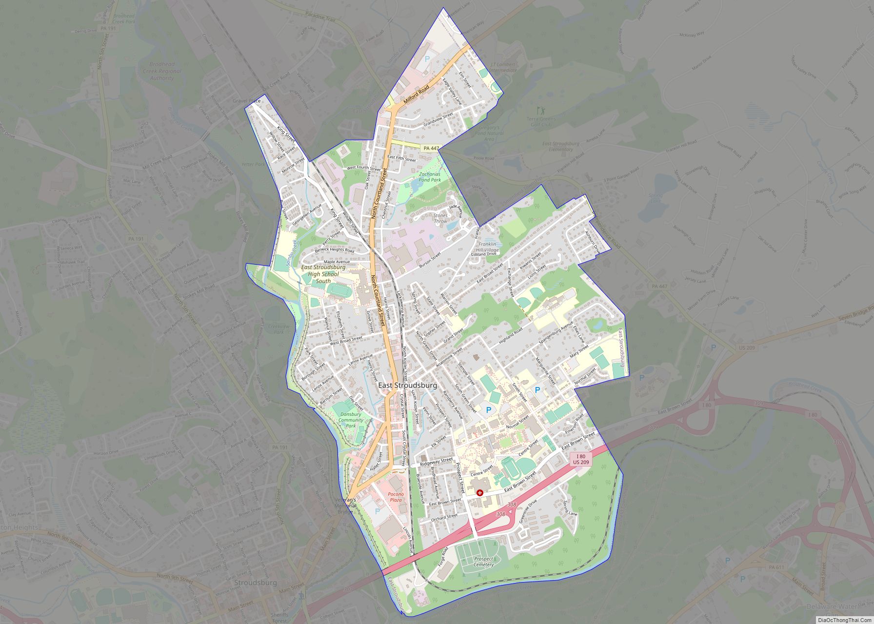
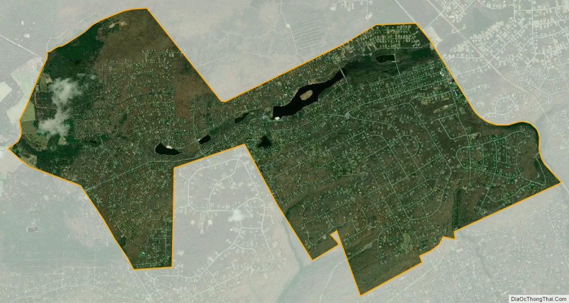
Indian Mountain Lake city Satellite Map
See also
Map of Pennsylvania State and its subdivision:- Adams
- Allegheny
- Armstrong
- Beaver
- Bedford
- Berks
- Blair
- Bradford
- Bucks
- Butler
- Cambria
- Cameron
- Carbon
- Centre
- Chester
- Clarion
- Clearfield
- Clinton
- Columbia
- Crawford
- Cumberland
- Dauphin
- Delaware
- Elk
- Erie
- Fayette
- Forest
- Franklin
- Fulton
- Greene
- Huntingdon
- Indiana
- Jefferson
- Juniata
- Lackawanna
- Lancaster
- Lawrence
- Lebanon
- Lehigh
- Luzerne
- Lycoming
- Mc Kean
- Mercer
- Mifflin
- Monroe
- Montgomery
- Montour
- Northampton
- Northumberland
- Perry
- Philadelphia
- Pike
- Potter
- Schuylkill
- Snyder
- Somerset
- Sullivan
- Susquehanna
- Tioga
- Union
- Venango
- Warren
- Washington
- Wayne
- Westmoreland
- Wyoming
- York
- Alabama
- Alaska
- Arizona
- Arkansas
- California
- Colorado
- Connecticut
- Delaware
- District of Columbia
- Florida
- Georgia
- Hawaii
- Idaho
- Illinois
- Indiana
- Iowa
- Kansas
- Kentucky
- Louisiana
- Maine
- Maryland
- Massachusetts
- Michigan
- Minnesota
- Mississippi
- Missouri
- Montana
- Nebraska
- Nevada
- New Hampshire
- New Jersey
- New Mexico
- New York
- North Carolina
- North Dakota
- Ohio
- Oklahoma
- Oregon
- Pennsylvania
- Rhode Island
- South Carolina
- South Dakota
- Tennessee
- Texas
- Utah
- Vermont
- Virginia
- Washington
- West Virginia
- Wisconsin
- Wyoming