Jamestown is a borough in northwestern Mercer County, Pennsylvania, United States, along the Shenango River. The population was reported as 580 on the 2020 census. It is part of the Youngstown–Warren metropolitan area.
| Name: | Jamestown borough |
|---|---|
| LSAD Code: | 21 |
| LSAD Description: | borough (suffix) |
| State: | Pennsylvania |
| County: | Mercer County |
| Founded: | 1798 |
| Total Area: | 0.84 sq mi (2.17 km²) |
| Land Area: | 0.83 sq mi (2.16 km²) |
| Water Area: | 0.01 sq mi (0.01 km²) |
| Total Population: | 582 |
| Population Density: | 698.68/sq mi (269.70/km²) |
| Area code: | 724 |
| FIPS code: | 4237696 |
| Website: | www.jamestown-pa.com |
Online Interactive Map
Click on ![]() to view map in "full screen" mode.
to view map in "full screen" mode.
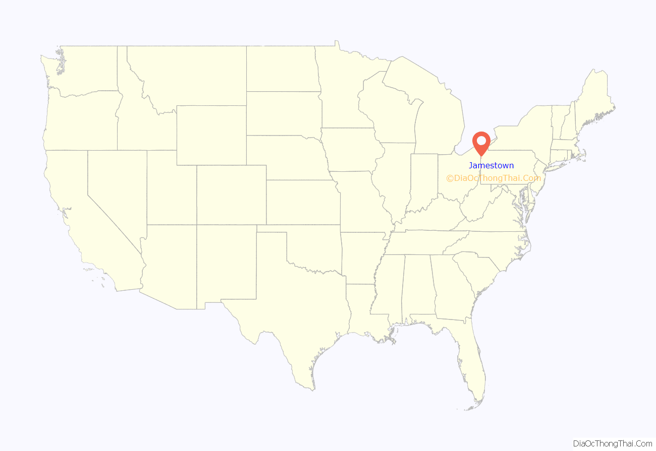
Jamestown location map. Where is Jamestown borough?
History
The town was founded in 1798 by James Campbell. The borough was incorporated in 1853.
The Jamestown area is served by the Jamestown Area School District, and is home to Combined Systems, Inc., a tactical weapons producer that exports tear gas and smoke grenades.
The Gibson House was added to the National Register of Historic Places in 1978.
The 215 Restaurant has become one of the more known places to dine bringing a different flair to the area that most would have to travel further for.
Pymatuning Deer Park has become quite the tourist attraction bringing a zoo like experience with a small petting zoo and interactive bird cage.
Jamestown Coating Technologies employs a large amount of locals and distributes high quality paints, powder coats and more throughout the world.
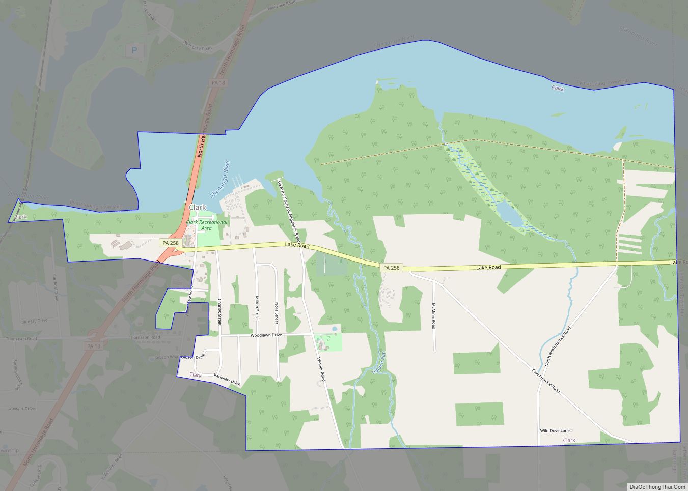
Jamestown Road Map
Jamestown city Satellite Map
Geography
Jamestown is located at 41°29′11″N 80°26′18″W / 41.48639°N 80.43833°W / 41.48639; -80.43833 (41.486417, −80.438354).
According to the United States Census Bureau, the borough has a total area of 0.8 square miles (2.1 km), of which 0.8 square miles (2.1 km) is land and 1.27% is water.
Climate
See also
Map of Pennsylvania State and its subdivision:- Adams
- Allegheny
- Armstrong
- Beaver
- Bedford
- Berks
- Blair
- Bradford
- Bucks
- Butler
- Cambria
- Cameron
- Carbon
- Centre
- Chester
- Clarion
- Clearfield
- Clinton
- Columbia
- Crawford
- Cumberland
- Dauphin
- Delaware
- Elk
- Erie
- Fayette
- Forest
- Franklin
- Fulton
- Greene
- Huntingdon
- Indiana
- Jefferson
- Juniata
- Lackawanna
- Lancaster
- Lawrence
- Lebanon
- Lehigh
- Luzerne
- Lycoming
- Mc Kean
- Mercer
- Mifflin
- Monroe
- Montgomery
- Montour
- Northampton
- Northumberland
- Perry
- Philadelphia
- Pike
- Potter
- Schuylkill
- Snyder
- Somerset
- Sullivan
- Susquehanna
- Tioga
- Union
- Venango
- Warren
- Washington
- Wayne
- Westmoreland
- Wyoming
- York
- Alabama
- Alaska
- Arizona
- Arkansas
- California
- Colorado
- Connecticut
- Delaware
- District of Columbia
- Florida
- Georgia
- Hawaii
- Idaho
- Illinois
- Indiana
- Iowa
- Kansas
- Kentucky
- Louisiana
- Maine
- Maryland
- Massachusetts
- Michigan
- Minnesota
- Mississippi
- Missouri
- Montana
- Nebraska
- Nevada
- New Hampshire
- New Jersey
- New Mexico
- New York
- North Carolina
- North Dakota
- Ohio
- Oklahoma
- Oregon
- Pennsylvania
- Rhode Island
- South Carolina
- South Dakota
- Tennessee
- Texas
- Utah
- Vermont
- Virginia
- Washington
- West Virginia
- Wisconsin
- Wyoming
