Jefferson Hills is a borough that is located in Allegheny County, Pennsylvania, United States. Part of the West Jefferson Hills School District, Jefferson Hills was created as Jefferson Township. Incorporated on January 22, 1828, it was named after Thomas Jefferson. Before 1998, the borough was known as Jefferson.
The total area of the borough of Jefferson is 16.8 square miles or 10,752 acres and includes the community of Large. In the 2020 census, the population was 12,424.
| Name: | Jefferson Hills borough |
|---|---|
| LSAD Code: | 21 |
| LSAD Description: | borough (suffix) |
| State: | Pennsylvania |
| County: | Allegheny County |
| Total Area: | 16.75 sq mi (43.38 km²) |
| Land Area: | 16.59 sq mi (42.95 km²) |
| Water Area: | 0.16 sq mi (0.42 km²) |
| Total Population: | 12,424 |
| Population Density: | 749.11/sq mi (289.24/km²) |
| Area code: | 412 |
| FIPS code: | 4237955 |
| Website: | www.jeffersonhillsboro.org |
Online Interactive Map
Click on ![]() to view map in "full screen" mode.
to view map in "full screen" mode.
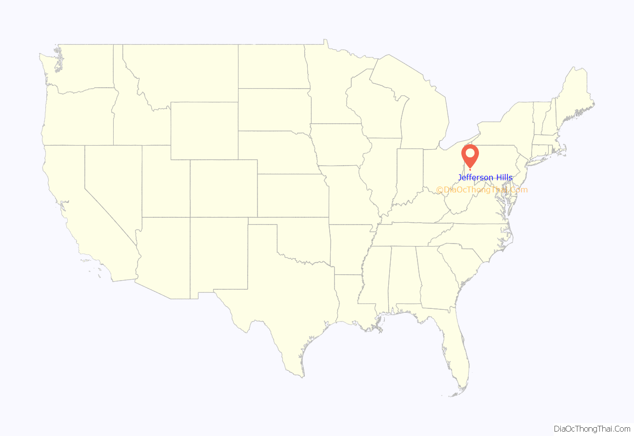
Jefferson Hills location map. Where is Jefferson Hills borough?
History
This borough’s history dates back to January 22, 1828 when it was created as a township from the old Township of Mifflin. At that time, the community was called “Jefferson Township” in honor of Thomas Jefferson.
In 1845, Snowden Township was formed from a part of Jefferson Township. Population of the township in 1860 was 1,601 persons, in 1870 it was 2,066 persons, and it reached a total population of 3,227 persons in 1880 (about equal to the population of 1930). Jefferson Township became a First Class Township in 1914, and in 1950 Jefferson was chartered as a borough. The borough of Pleasant Hills seceded from Jefferson Township in 1947 and by so doing, drastically reduced the population and urbanized area of the township.
Jefferson Hills is located along the southern border of Allegheny County and is primarily residential in nature, with approximately one-third of its area presently being used for residential purposes. The residential use is primarily single-family dwellings with slightly over one percent being multiple-family units. Another third of the borough exists in the form of open space and or vacant ground, with the balance being made up of industrial, commercial, mining, and farming land uses.
The major portion of Jefferson Hills drains into two watersheds, the Peters Creek watershed, which ultimately drains into the Monongahela River at Clairton, and the Calamity Hollow and West Elizabeth watershed, which drains to the Monongahela River in the vicinity of West Elizabeth.
Present development has occurred almost exclusively in the flat upland areas. These developments are scattered and separated by large open tracts and or hills and valleys.
The area was the geographic base of the Peters Creek Rangers during the Revolutionary War.
Jefferson Hills Road Map
Jefferson Hills city Satellite Map
Geography
Jefferson Hills is at 40°17′8″N 79°55′59″W / 40.28556°N 79.93306°W / 40.28556; -79.93306 (40.285502, −79.933160).
The United States Census Bureau says the borough is 16.6 square miles (43 km), of which 0.04 square miles (0.10 km), or 0.24%, is water.
The borough includes rolling hills and woods. The southeastern border is the Monongahela River. Three streams flow through the borough: Peters Creek, Beam Run, and Lewis Run.
The borough consists primarily of single family homes of newer construction.
Surrounding municipalities
Jefferson Hills has six land borders with Pleasant Hills and West Mifflin to the north, Clairton to the east, West Elizabeth to the southeast, Union Township in Washington County to the south, and South Park Township to the west. Across the Monongahela River, Jefferson Hills runs adjacent with Elizabeth Township, Elizabeth Borough and Forward Township.
Climate
See also
Map of Pennsylvania State and its subdivision:- Adams
- Allegheny
- Armstrong
- Beaver
- Bedford
- Berks
- Blair
- Bradford
- Bucks
- Butler
- Cambria
- Cameron
- Carbon
- Centre
- Chester
- Clarion
- Clearfield
- Clinton
- Columbia
- Crawford
- Cumberland
- Dauphin
- Delaware
- Elk
- Erie
- Fayette
- Forest
- Franklin
- Fulton
- Greene
- Huntingdon
- Indiana
- Jefferson
- Juniata
- Lackawanna
- Lancaster
- Lawrence
- Lebanon
- Lehigh
- Luzerne
- Lycoming
- Mc Kean
- Mercer
- Mifflin
- Monroe
- Montgomery
- Montour
- Northampton
- Northumberland
- Perry
- Philadelphia
- Pike
- Potter
- Schuylkill
- Snyder
- Somerset
- Sullivan
- Susquehanna
- Tioga
- Union
- Venango
- Warren
- Washington
- Wayne
- Westmoreland
- Wyoming
- York
- Alabama
- Alaska
- Arizona
- Arkansas
- California
- Colorado
- Connecticut
- Delaware
- District of Columbia
- Florida
- Georgia
- Hawaii
- Idaho
- Illinois
- Indiana
- Iowa
- Kansas
- Kentucky
- Louisiana
- Maine
- Maryland
- Massachusetts
- Michigan
- Minnesota
- Mississippi
- Missouri
- Montana
- Nebraska
- Nevada
- New Hampshire
- New Jersey
- New Mexico
- New York
- North Carolina
- North Dakota
- Ohio
- Oklahoma
- Oregon
- Pennsylvania
- Rhode Island
- South Carolina
- South Dakota
- Tennessee
- Texas
- Utah
- Vermont
- Virginia
- Washington
- West Virginia
- Wisconsin
- Wyoming
