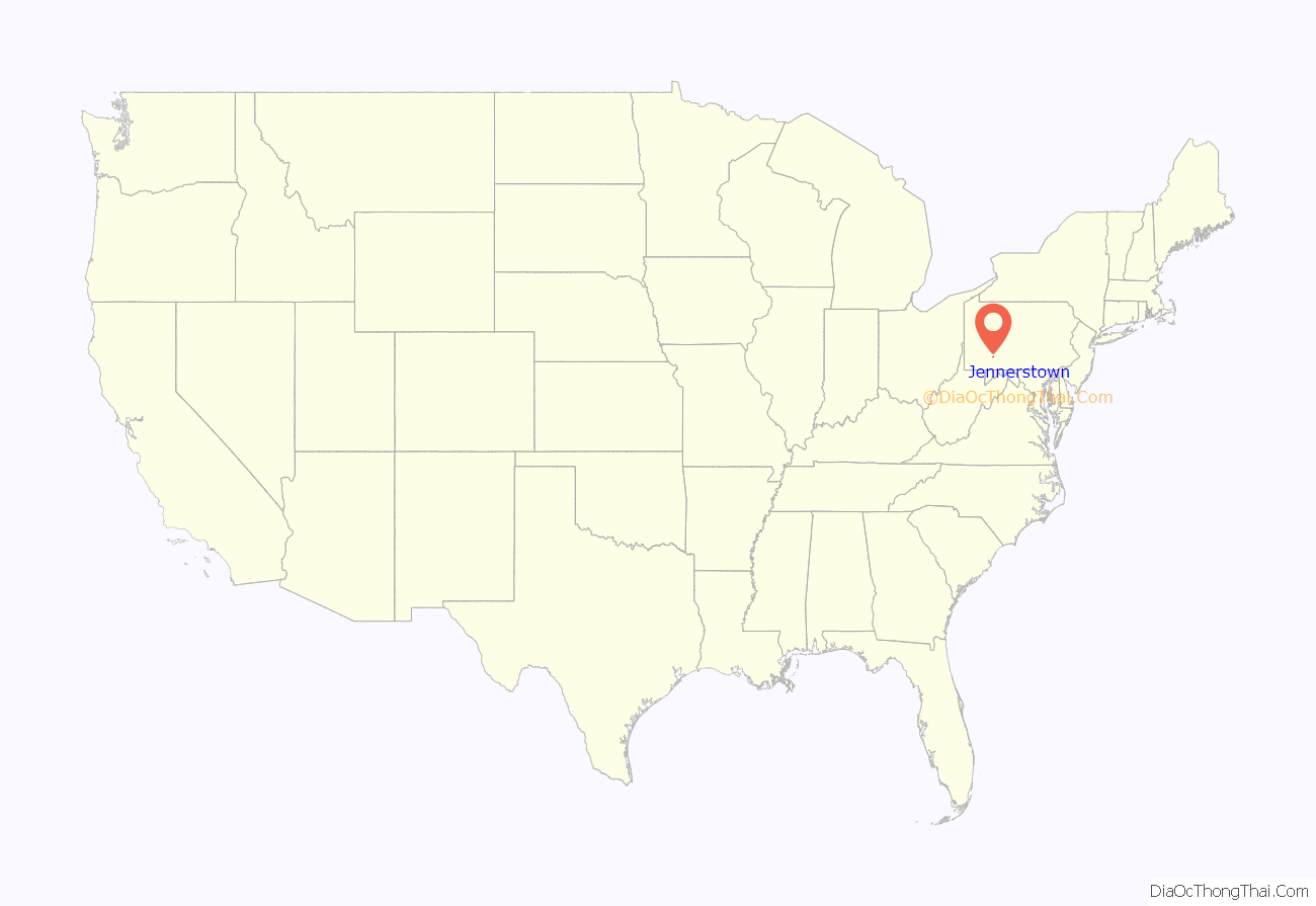
Jennerstown is a borough in Somerset County, Pennsylvania, United States. It is part of the Johnstown, Pennsylvania Metropolitan Statistical Area. The population was 679 at the 2020 census. The borough is the home of Jennerstown Speedway. The town was named for Edward Jenner.
Jennerstown is located north of Somerset and south of Johnstown. It is also west of Boswell.
It is connected with Route 30 (Pennsylvania).
| Name: | Jennerstown borough |
|---|---|
| LSAD Code: | 21 |
| LSAD Description: | borough (suffix) |
| State: | Pennsylvania |
| County: | Somerset County |
| Incorporated: | 1874 |
| Total Area: | 1.99 sq mi (5.15 km²) |
| Land Area: | 1.92 sq mi (4.98 km²) |
| Water Area: | 0.07 sq mi (0.17 km²) |
| Total Population: | 678 |
| Population Density: | 352.57/sq mi (136.15/km²) |
| Area code: | 814 |
| FIPS code: | 4238048 |
| Website: | www.jennerstownboro.com |
Online Interactive Map
Click on ![]() to view map in "full screen" mode.
to view map in "full screen" mode.
Jennerstown location map. Where is Jennerstown borough?
History
Jennerstown was first settled in the late 18th century as a stage coach stop on the Forbes Road, one of the first roads constructed by English-speaking settlers over the Allegheny Mountains. The town, originally named Laurel Hill, was later renamed Jennerville in honor of Dr. Edward Jenner, discoverer of the smallpox vaccine. Later, Jennerville became Jennerstown. The town and vicinity boast several buildings about 200 years old, which is not common in the surrounding area.
Throughout its history, Jennerstown has served primarily as a wayside for travelers and as a farming community. Its post office was established in 1832, initially under the name of Laurel Hill. The village contained seven or eight houses, a store and a tavern at that time. Jennerstown incorporated as a borough in 1874. Jennerstown has never been a large town, and its current population represents a peak.
Jennerstown is home to the Mountain Playhouse, one of the oldest venues for summer stock theatre in the United States. The Mountain Playhouse has maintained a full schedule of live theatre productions nightly from May through October each year for the last seventy-seven years. Jennerstown Speedway is a popular summer destination for stock car racing.
Jennerstown Road Map
Jennerstown city Satellite Map
Geography
Jennerstown is located at 40°9′42″N 79°3′46″W / 40.16167°N 79.06278°W / 40.16167; -79.06278 (40.161763, -79.062686).
According to the United States Census Bureau, the borough has a total area of 2.0 square miles (5.2 km), of which 1.9 square miles (4.9 km) is land and 0.1 square miles (0.26 km) (3.50%) is water.
See also
Map of Pennsylvania State and its subdivision:- Adams
- Allegheny
- Armstrong
- Beaver
- Bedford
- Berks
- Blair
- Bradford
- Bucks
- Butler
- Cambria
- Cameron
- Carbon
- Centre
- Chester
- Clarion
- Clearfield
- Clinton
- Columbia
- Crawford
- Cumberland
- Dauphin
- Delaware
- Elk
- Erie
- Fayette
- Forest
- Franklin
- Fulton
- Greene
- Huntingdon
- Indiana
- Jefferson
- Juniata
- Lackawanna
- Lancaster
- Lawrence
- Lebanon
- Lehigh
- Luzerne
- Lycoming
- Mc Kean
- Mercer
- Mifflin
- Monroe
- Montgomery
- Montour
- Northampton
- Northumberland
- Perry
- Philadelphia
- Pike
- Potter
- Schuylkill
- Snyder
- Somerset
- Sullivan
- Susquehanna
- Tioga
- Union
- Venango
- Warren
- Washington
- Wayne
- Westmoreland
- Wyoming
- York
- Alabama
- Alaska
- Arizona
- Arkansas
- California
- Colorado
- Connecticut
- Delaware
- District of Columbia
- Florida
- Georgia
- Hawaii
- Idaho
- Illinois
- Indiana
- Iowa
- Kansas
- Kentucky
- Louisiana
- Maine
- Maryland
- Massachusetts
- Michigan
- Minnesota
- Mississippi
- Missouri
- Montana
- Nebraska
- Nevada
- New Hampshire
- New Jersey
- New Mexico
- New York
- North Carolina
- North Dakota
- Ohio
- Oklahoma
- Oregon
- Pennsylvania
- Rhode Island
- South Carolina
- South Dakota
- Tennessee
- Texas
- Utah
- Vermont
- Virginia
- Washington
- West Virginia
- Wisconsin
- Wyoming
