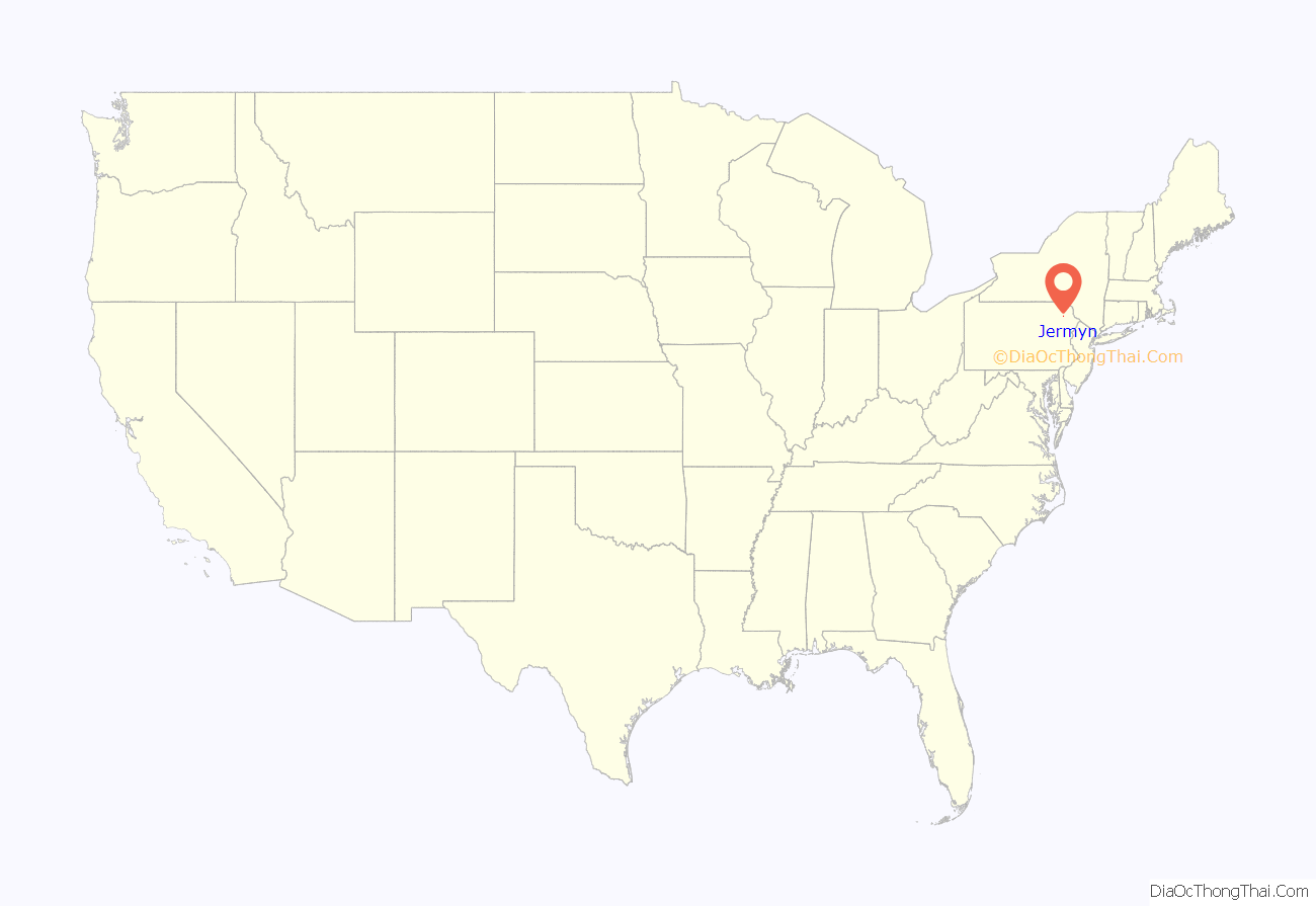
Jermyn, known as “The Birthplace of First Aid in America”, is a borough which is located in Lackawanna County, Pennsylvania, United States. Located on the Lackawanna River, it is 12 miles (19 km) northeast of Scranton.
In 1900, the population was 2,567, much of it attracted by the prospects of finding work at a large anthracite coal site in the region. Coal mines, cut glass works, silk, powder, grist, planing, sawmills, bottling works, and fertilizer factories dotted the borough during the early years of the twentieth century.
By the time of the 2020 census, the population had declined to 2,156.
Jermyn is prsently the mailing address of the Lakeland School District. East Jermyn, the section of town east of the Lackawanna River and west of the small section of Archbald known as “Nebraska”, is commonly referred to as “Calico Lane” or “The Lane”.
| Name: | Jermyn borough |
|---|---|
| LSAD Code: | 21 |
| LSAD Description: | borough (suffix) |
| State: | Pennsylvania |
| County: | Lackawanna County |
| Elevation: | 971 ft (296 m) |
| Total Area: | 0.79 sq mi (2.05 km²) |
| Land Area: | 0.79 sq mi (2.05 km²) |
| Water Area: | 0.00 sq mi (0.00 km²) |
| Total Population: | 2,150 |
| Population Density: | 2,714.65/sq mi (1,047.64/km²) |
| Area code: | 570 |
| FIPS code: | 4238096 |
| Website: | jermynpa.com |
Online Interactive Map
Click on ![]() to view map in "full screen" mode.
to view map in "full screen" mode.
Jermyn location map. Where is Jermyn borough?
History
The borough originally named Gibsonburg, was named for John Jermyn, a businessperson in the mining industry.
Jermyn was incorporated as a borough in 1870 and celebrated its centennial in 1970 with a week-long celebration.
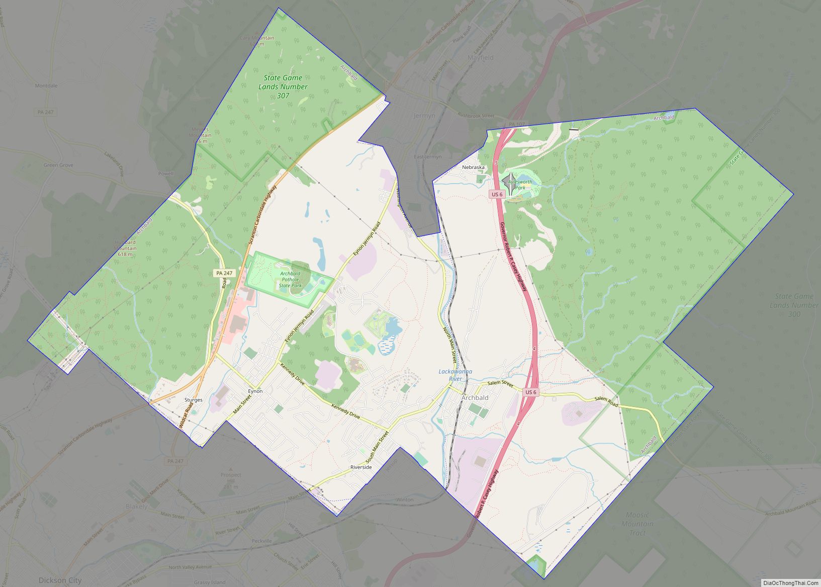
Jermyn Road Map
Jermyn city Satellite Map
Geography
Jermyn is located at 41°31′40″N 75°32′50″W / 41.52778°N 75.54722°W / 41.52778; -75.54722 (41.527806, -75.547147). According to the U.S. Census Bureau, the borough has a total area of 0.8 square miles (2.1 km), all of it land.
See also
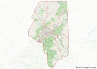
Map of Pennsylvania State and its subdivision:- Adams
- Allegheny
- Armstrong
- Beaver
- Bedford
- Berks
- Blair
- Bradford
- Bucks
- Butler
- Cambria
- Cameron
- Carbon
- Centre
- Chester
- Clarion
- Clearfield
- Clinton
- Columbia
- Crawford
- Cumberland
- Dauphin
- Delaware
- Elk
- Erie
- Fayette
- Forest
- Franklin
- Fulton
- Greene
- Huntingdon
- Indiana
- Jefferson
- Juniata
- Lackawanna
- Lancaster
- Lawrence
- Lebanon
- Lehigh
- Luzerne
- Lycoming
- Mc Kean
- Mercer
- Mifflin
- Monroe
- Montgomery
- Montour
- Northampton
- Northumberland
- Perry
- Philadelphia
- Pike
- Potter
- Schuylkill
- Snyder
- Somerset
- Sullivan
- Susquehanna
- Tioga
- Union
- Venango
- Warren
- Washington
- Wayne
- Westmoreland
- Wyoming
- York
- Alabama
- Alaska
- Arizona
- Arkansas
- California
- Colorado
- Connecticut
- Delaware
- District of Columbia
- Florida
- Georgia
- Hawaii
- Idaho
- Illinois
- Indiana
- Iowa
- Kansas
- Kentucky
- Louisiana
- Maine
- Maryland
- Massachusetts
- Michigan
- Minnesota
- Mississippi
- Missouri
- Montana
- Nebraska
- Nevada
- New Hampshire
- New Jersey
- New Mexico
- New York
- North Carolina
- North Dakota
- Ohio
- Oklahoma
- Oregon
- Pennsylvania
- Rhode Island
- South Carolina
- South Dakota
- Tennessee
- Texas
- Utah
- Vermont
- Virginia
- Washington
- West Virginia
- Wisconsin
- Wyoming
