Kutztown University of Pennsylvania (Kutztown University or KU) is a public university in Kutztown, Pennsylvania. It is part of the Pennsylvania State System of Higher Education (PASSHE) and is accredited by the Middle States Commission on Higher Education.
First established in 1866, Kutztown University began as the Keystone Normal School based out of the presently-named Old Main Building and specializing in teacher education; in 1928, its name was changed to Kutztown State Teachers College. Eventually, the school expanded its programs outside education to be christened Kutztown State College in 1960 and finally, Kutztown University of Pennsylvania in 1983.
Between four undergraduate colleges and graduate studies, Kutztown University now offers programs in the liberal arts and sciences, the visual and performing arts, business, education, and certain graduate studies. Eight intercollegiate men’s sports and thirteen women’s sports compete within the NCAA Division II and the Pennsylvania State Athletic Conference (PSAC).
| Name: | Kutztown University CDP |
|---|---|
| LSAD Code: | 57 |
| LSAD Description: | CDP (suffix) |
| State: | Pennsylvania |
| County: | Berks County |
| FIPS code: | 4240666 |
| Website: | kutztown.edu |
Online Interactive Map
Click on ![]() to view map in "full screen" mode.
to view map in "full screen" mode.
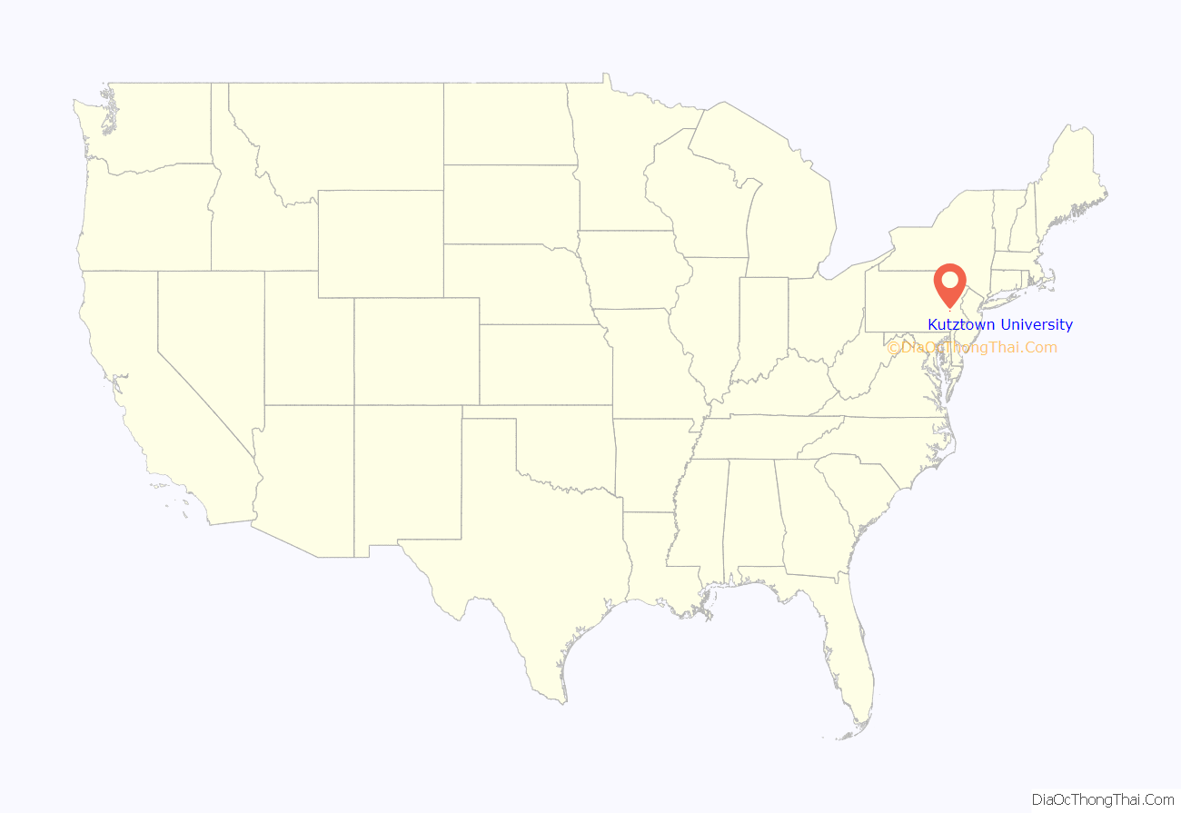
Kutztown University location map. Where is Kutztown University CDP?
History
On September 15, 1866, the Keystone State Normal School was established on what is now the site of Old Main. The needs of a burgeoning industrialization in the region placed more and more demands on teacher preparation, and in 1928, the institution was designated Kutztown State Teacher’s College and authorized to confer the bachelor’s degree.
Eventually, the area’s need for liberally educated personnel to staff its industries outstripped the need for teachers. In 1960, the Department of Education changed the institution’s name to Kutztown State College and diversified its goals toward “A center for learning for the best possible education of the youth of Pennsylvania in the arts and sciences and preparation of able and dedicated teachers.”
On July 1, 1983, the institution became Kutztown University of Pennsylvania of the State System of Higher Education.
As of Fall 2018, the university enrollment was approximately 8,300 full- and part-time undergraduate and graduate students.
Kutztown University Road Map
Kutztown University city Satellite Map
See also
Map of Pennsylvania State and its subdivision:- Adams
- Allegheny
- Armstrong
- Beaver
- Bedford
- Berks
- Blair
- Bradford
- Bucks
- Butler
- Cambria
- Cameron
- Carbon
- Centre
- Chester
- Clarion
- Clearfield
- Clinton
- Columbia
- Crawford
- Cumberland
- Dauphin
- Delaware
- Elk
- Erie
- Fayette
- Forest
- Franklin
- Fulton
- Greene
- Huntingdon
- Indiana
- Jefferson
- Juniata
- Lackawanna
- Lancaster
- Lawrence
- Lebanon
- Lehigh
- Luzerne
- Lycoming
- Mc Kean
- Mercer
- Mifflin
- Monroe
- Montgomery
- Montour
- Northampton
- Northumberland
- Perry
- Philadelphia
- Pike
- Potter
- Schuylkill
- Snyder
- Somerset
- Sullivan
- Susquehanna
- Tioga
- Union
- Venango
- Warren
- Washington
- Wayne
- Westmoreland
- Wyoming
- York
- Alabama
- Alaska
- Arizona
- Arkansas
- California
- Colorado
- Connecticut
- Delaware
- District of Columbia
- Florida
- Georgia
- Hawaii
- Idaho
- Illinois
- Indiana
- Iowa
- Kansas
- Kentucky
- Louisiana
- Maine
- Maryland
- Massachusetts
- Michigan
- Minnesota
- Mississippi
- Missouri
- Montana
- Nebraska
- Nevada
- New Hampshire
- New Jersey
- New Mexico
- New York
- North Carolina
- North Dakota
- Ohio
- Oklahoma
- Oregon
- Pennsylvania
- Rhode Island
- South Carolina
- South Dakota
- Tennessee
- Texas
- Utah
- Vermont
- Virginia
- Washington
- West Virginia
- Wisconsin
- Wyoming
