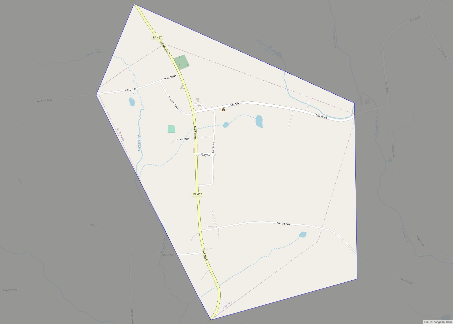
Le Raysville is a borough in Bradford County, Pennsylvania, United States. It is part of Northeastern Pennsylvania. The population was 290 at the 2020 census.
| Name: | Le Raysville borough |
|---|---|
| LSAD Code: | 21 |
| LSAD Description: | borough (suffix) |
| State: | Pennsylvania |
| County: | Bradford County |
| Incorporated: | 1863 |
| Elevation: | 1,572 ft (479 m) |
| Total Area: | 1.04 sq mi (2.71 km²) |
| Land Area: | 1.04 sq mi (2.70 km²) |
| Water Area: | 0.00 sq mi (0.01 km²) |
| Total Population: | 292 |
| Population Density: | 280.23/sq mi (108.18/km²) |
| Area code: | 570 |
| FIPS code: | 4242824 |
Online Interactive Map
Click on ![]() to view map in "full screen" mode.
to view map in "full screen" mode.
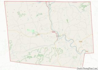
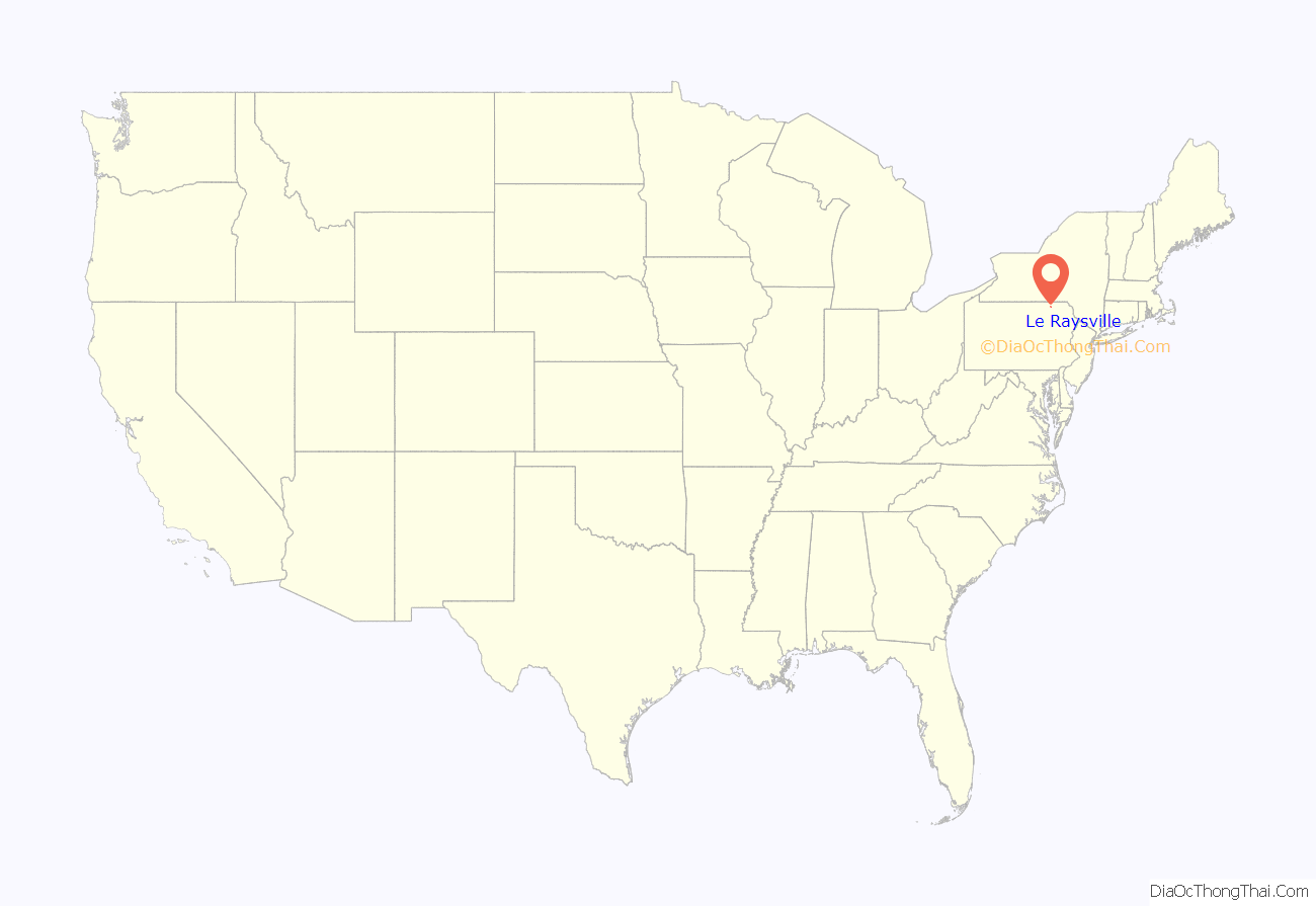
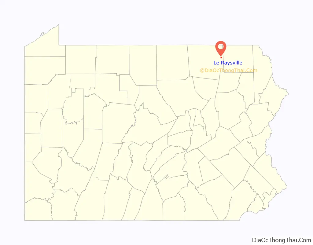
Le Raysville location map. Where is Le Raysville borough?
History
A post office called Le Raysville was established in 1827. The borough was named for James Le Ray de Chaumont, a Frenchman-turned American citizen who purchased 80,000 acres in eastern Bradford County.
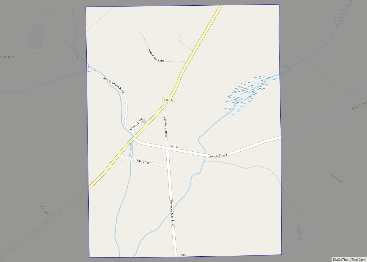
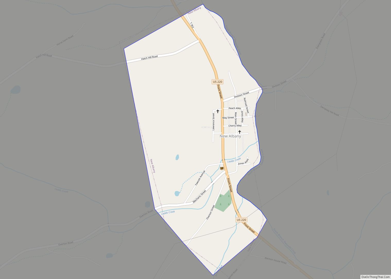
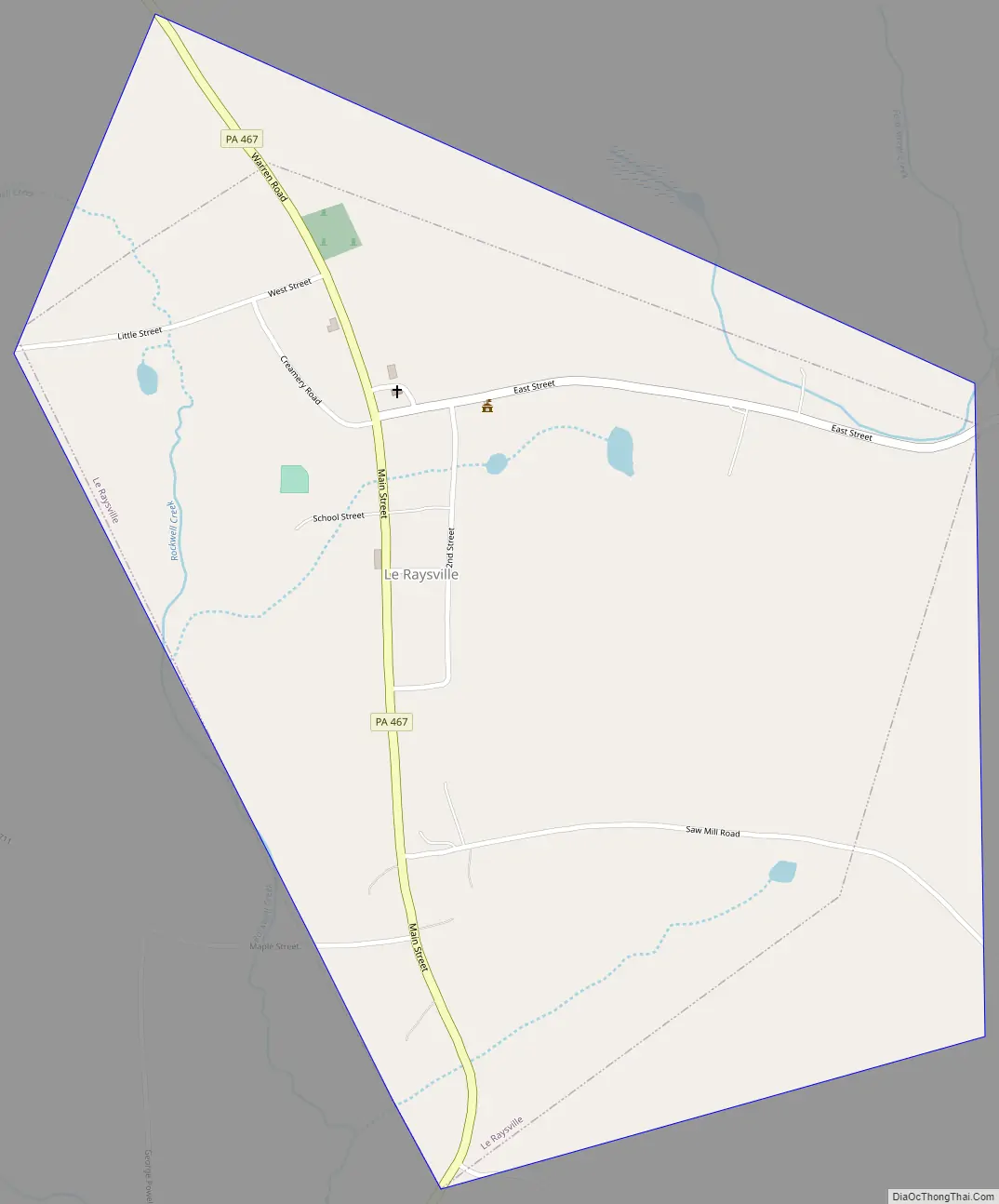
Le Raysville Road Map
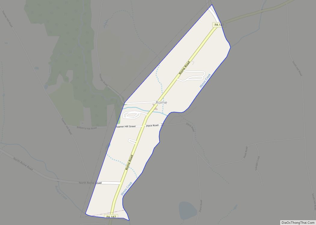
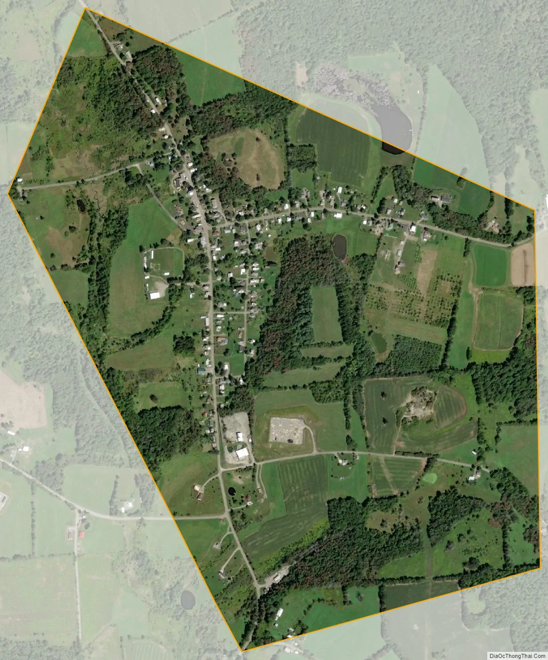
Le Raysville city Satellite Map
Geography
Le Raysville is located in eastern Bradford County at 41°50′16″N 76°10′49″W / 41.83778°N 76.18028°W / 41.83778; -76.18028 (41.837698, -76.180393). It is surrounded by Pike Township but separate from it. According to the U.S. Census Bureau, the borough has a total area of 1.0 square mile (2.7 km), all land.
See also
Map of Pennsylvania State and its subdivision:- Adams
- Allegheny
- Armstrong
- Beaver
- Bedford
- Berks
- Blair
- Bradford
- Bucks
- Butler
- Cambria
- Cameron
- Carbon
- Centre
- Chester
- Clarion
- Clearfield
- Clinton
- Columbia
- Crawford
- Cumberland
- Dauphin
- Delaware
- Elk
- Erie
- Fayette
- Forest
- Franklin
- Fulton
- Greene
- Huntingdon
- Indiana
- Jefferson
- Juniata
- Lackawanna
- Lancaster
- Lawrence
- Lebanon
- Lehigh
- Luzerne
- Lycoming
- Mc Kean
- Mercer
- Mifflin
- Monroe
- Montgomery
- Montour
- Northampton
- Northumberland
- Perry
- Philadelphia
- Pike
- Potter
- Schuylkill
- Snyder
- Somerset
- Sullivan
- Susquehanna
- Tioga
- Union
- Venango
- Warren
- Washington
- Wayne
- Westmoreland
- Wyoming
- York
- Alabama
- Alaska
- Arizona
- Arkansas
- California
- Colorado
- Connecticut
- Delaware
- District of Columbia
- Florida
- Georgia
- Hawaii
- Idaho
- Illinois
- Indiana
- Iowa
- Kansas
- Kentucky
- Louisiana
- Maine
- Maryland
- Massachusetts
- Michigan
- Minnesota
- Mississippi
- Missouri
- Montana
- Nebraska
- Nevada
- New Hampshire
- New Jersey
- New Mexico
- New York
- North Carolina
- North Dakota
- Ohio
- Oklahoma
- Oregon
- Pennsylvania
- Rhode Island
- South Carolina
- South Dakota
- Tennessee
- Texas
- Utah
- Vermont
- Virginia
- Washington
- West Virginia
- Wisconsin
- Wyoming