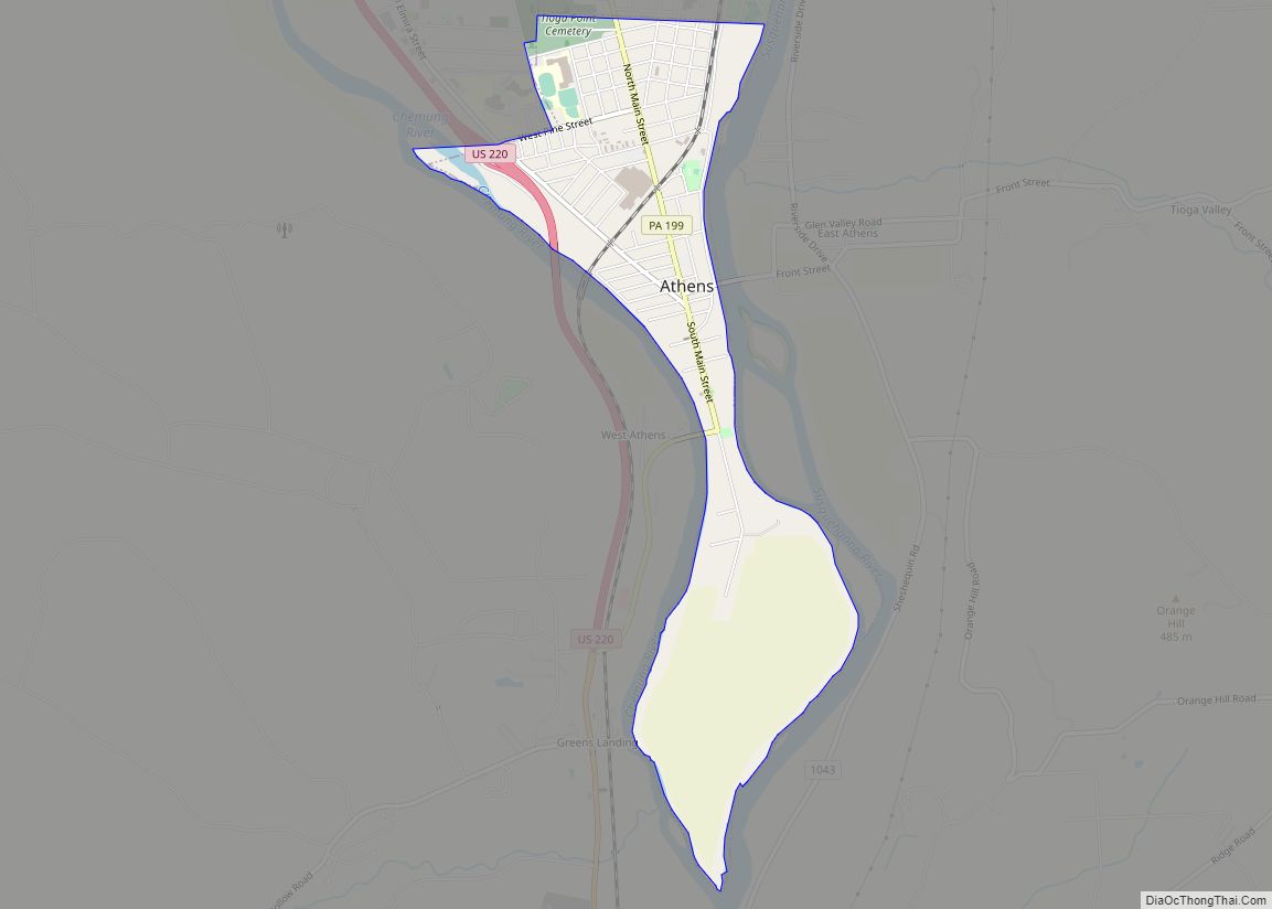
Athens is a borough in Bradford County, Pennsylvania, United States. It is part of Northeastern Pennsylvania and is located 2 miles (3 km) south of the New York state line on the Susquehanna and Chemung rivers. The population was 3,749 in 1900 and 3,796 in 1910. The population was 3,265 at the 2020 census. Athens is in a small area locally known as “The Valley”, a group of four contiguous communities in Pennsylvania and New York: Waverly, New York; South Waverly, Pennsylvania; Sayre, Pennsylvania; and Athens. The Valley has a population near 30,000.
In September 2011, Athens was heavily damaged by river flooding from Tropical Storm Lee. Much of Athens was under water, with the most damage in the downtown area along the river. Damage in nearby Tioga County, New York, was estimated at $100 million.
| Name: | Athens borough |
|---|---|
| LSAD Code: | 21 |
| LSAD Description: | borough (suffix) |
| State: | Pennsylvania |
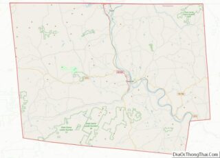
| County: | Bradford County |
| Incorporated: | 1831 |
| Elevation: | 755 ft (230 m) |
| Total Area: | 1.78 sq mi (4.61 km²) |
| Land Area: | 1.75 sq mi (4.54 km²) |
| Water Area: | 0.03 sq mi (0.07 km²) |
| Total Population: | 3,267 |
| Population Density: | 1,862.60/sq mi (719.14/km²) |
| FIPS code: | 4203392 |
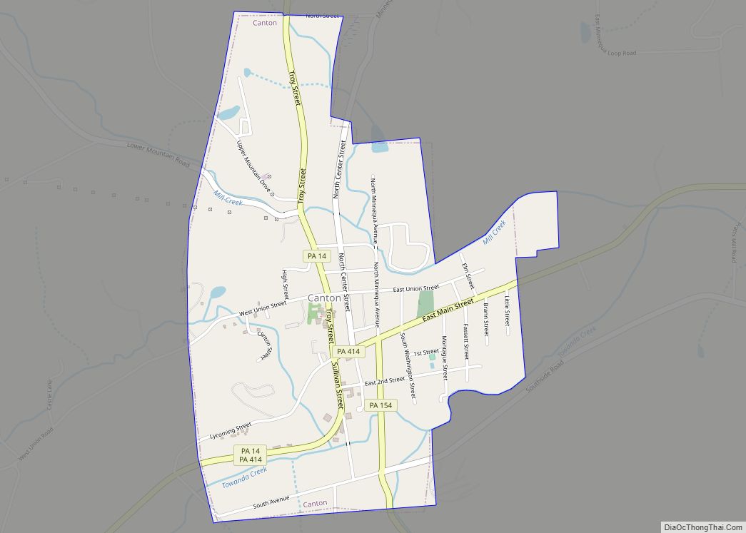
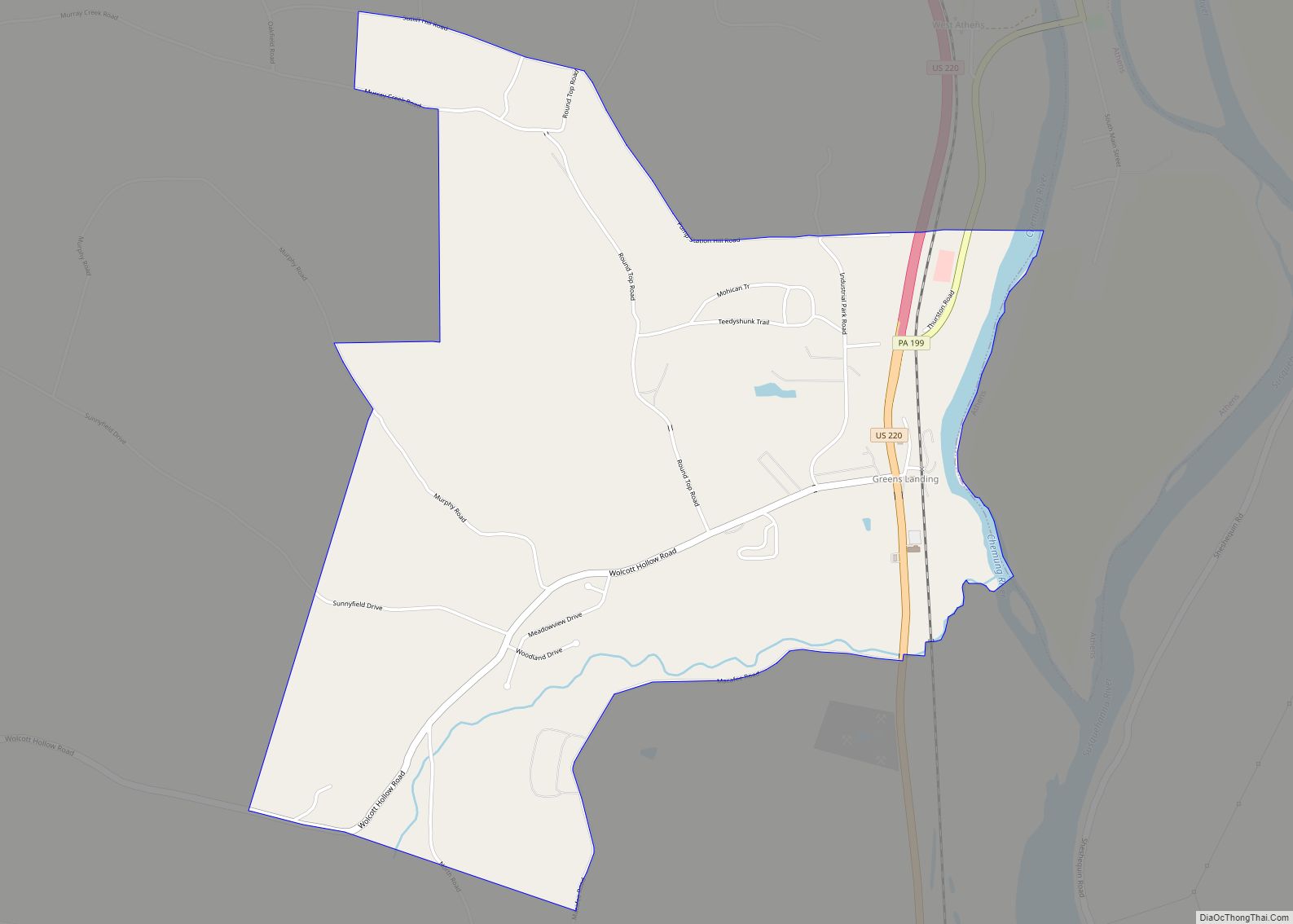
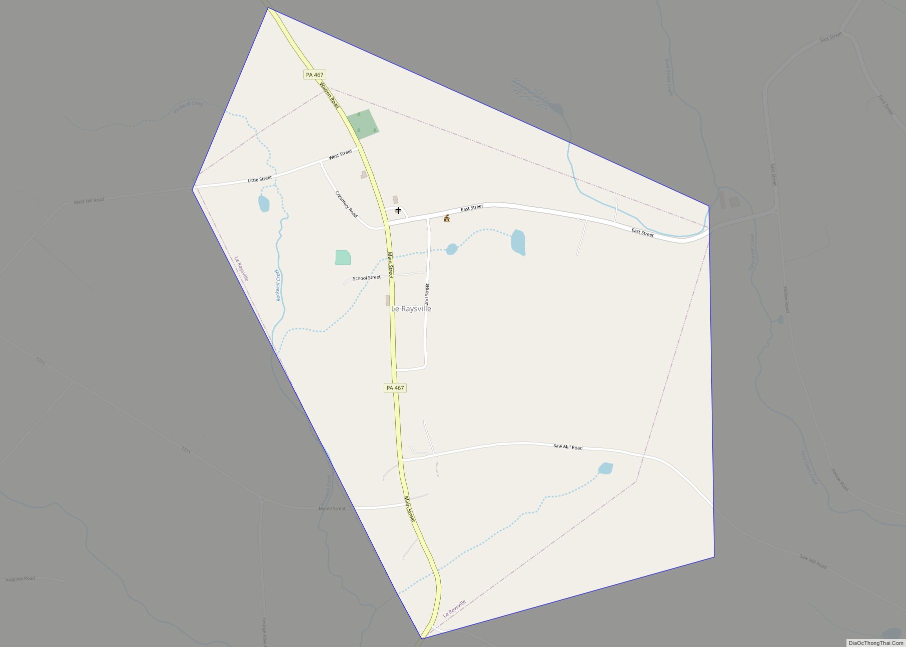
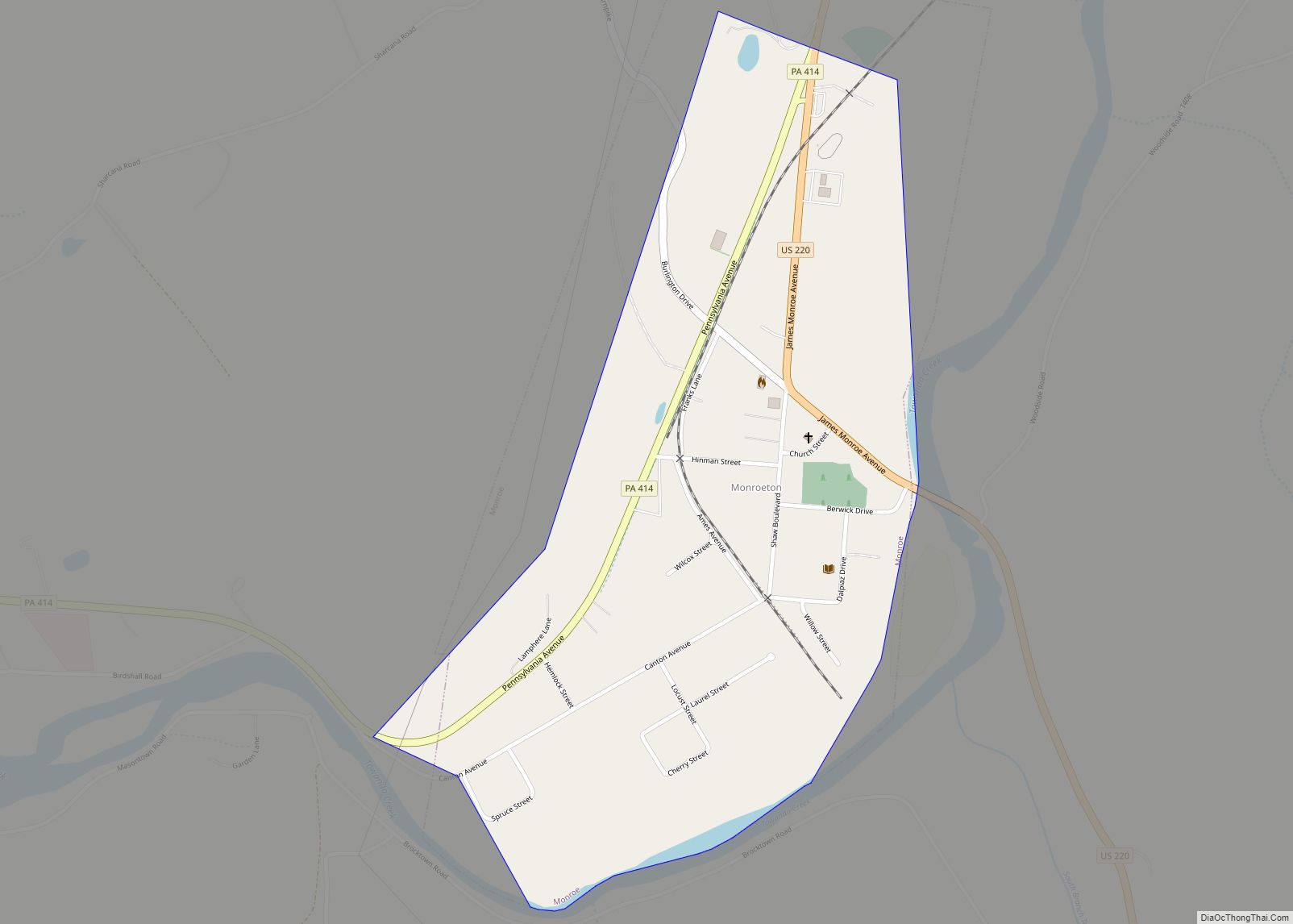
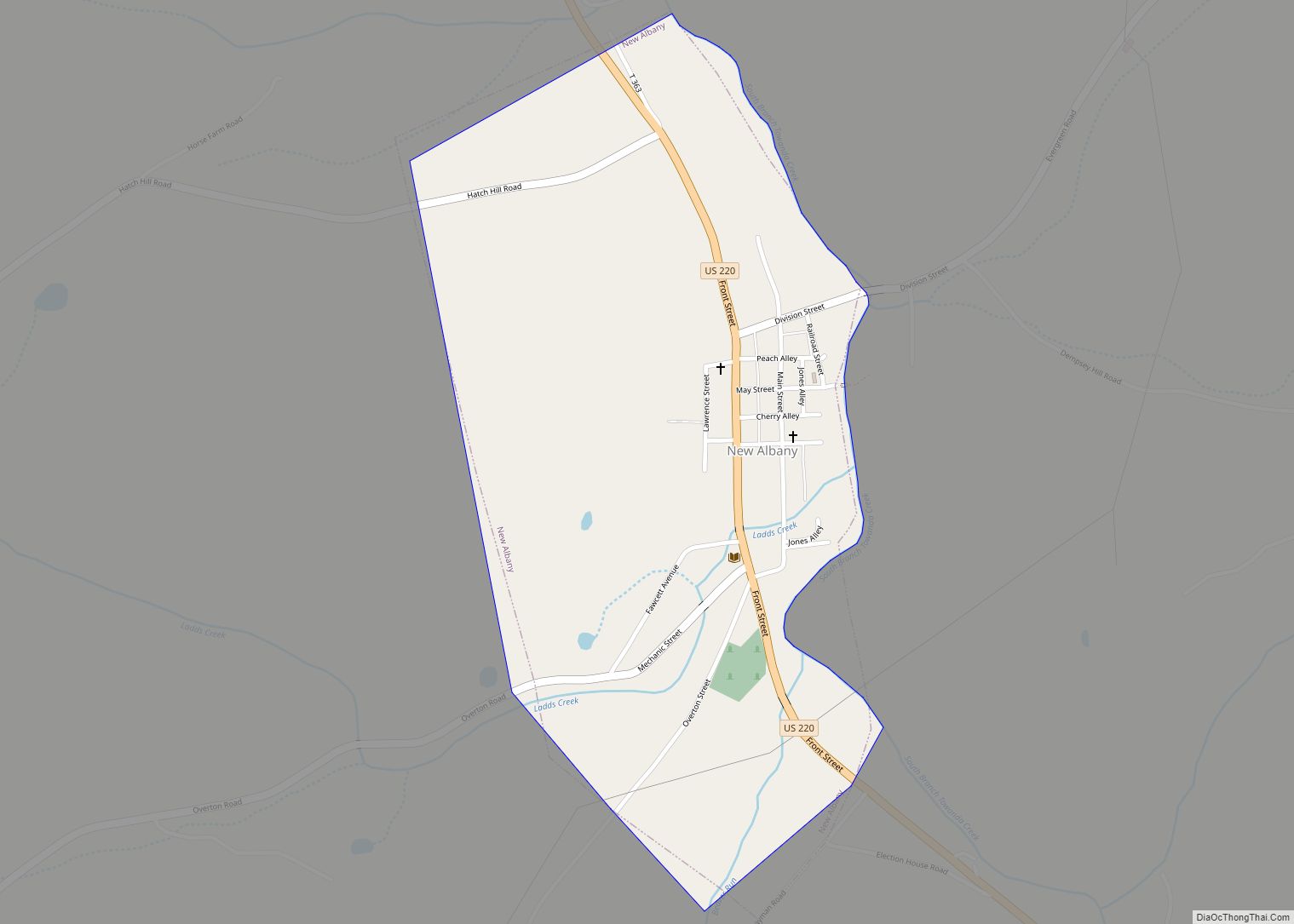
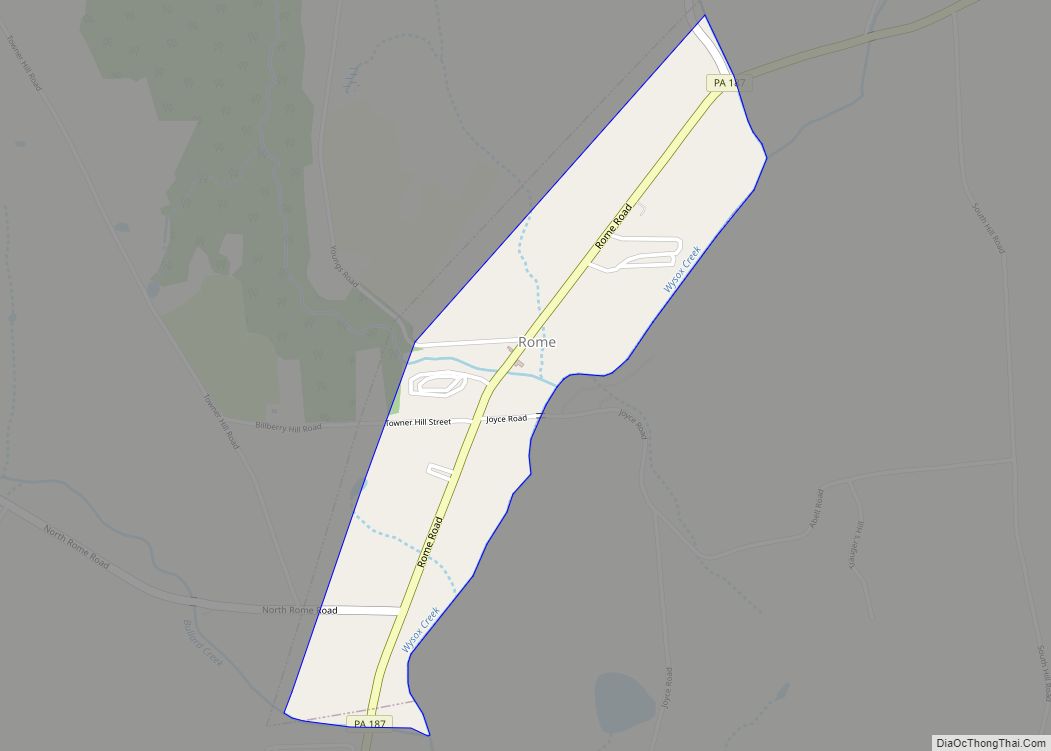
Online Interactive Map
Click on ![]() to view map in "full screen" mode.
to view map in "full screen" mode.
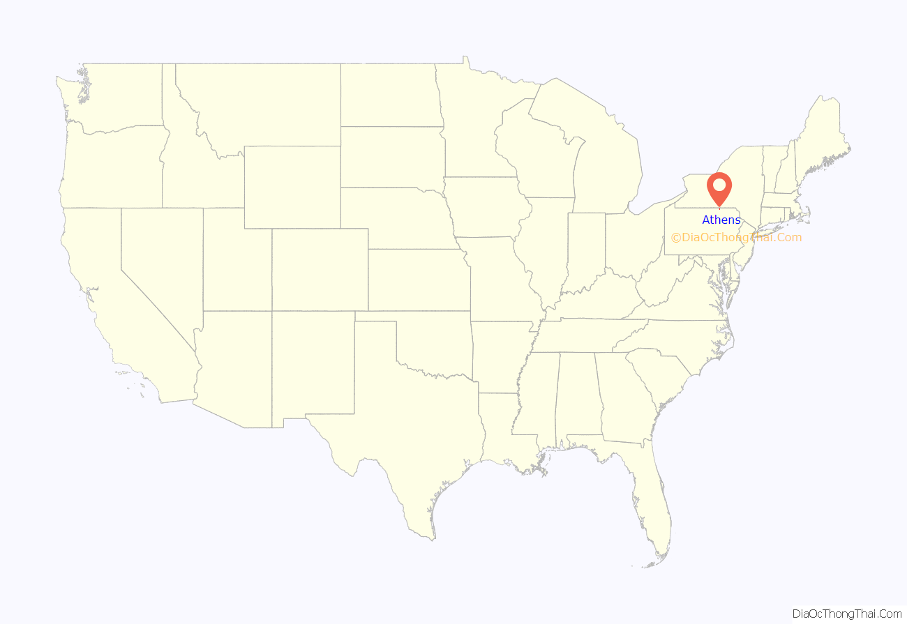
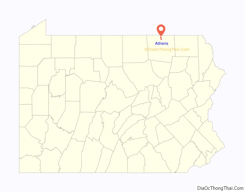
Athens location map. Where is Athens borough?
History
The Athens Historic District, Protection of the Flag Monument, and Spalding Memorial Library-Tioga Point Museum are listed on the National Register of Historic Places.
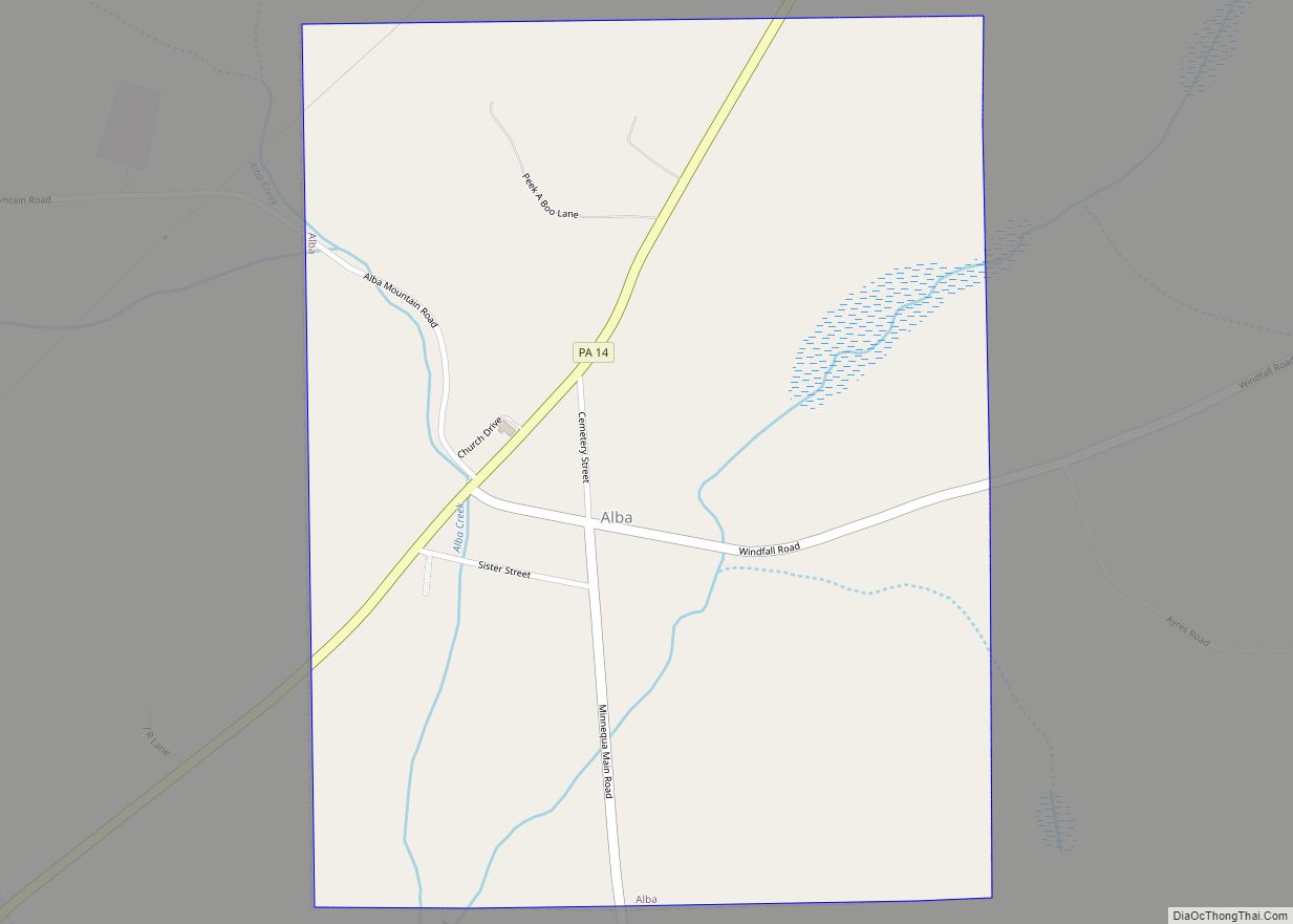
Athens Road Map

Athens city Satellite Map

Geography
Athens is located in northern Bradford County at 41°57′50″N 76°31′21″W / 41.96389°N 76.52250°W / 41.96389; -76.52250 (41.963809, -76.522608). It lies on land between the Susquehanna River to the east and the Chemung River to the west, extending southward to their confluence at Tioga Point. The borough of Sayre borders Athens to the north, and Athens Township borders the remainder of the borough, to the east, west, and south.
U.S. Route 220 passes through the west part of the borough as a four-lane limited access highway, with one exit (West Pine Street) within the borough limits. US-220 leads north to its terminus at Interstate 86 near the New York state line in South Waverly and south to Towanda. Pennsylvania Route 199 forms the borough’s Main Street, leading north through Sayre to I-86, where it crosses the state line and becomes New York State Route 34. To the south, PA-199 crosses the Chemung River and ends at US-220. Front Street crosses the Susquehanna River to the east into unincorporated East Athens.
According to the United States Census Bureau, the borough has a total area of 1.8 square miles (4.7 km), of which 0.027 square miles (0.07 km), or 1.51%, is water.
See also
Map of Pennsylvania State and its subdivision:- Adams
- Allegheny
- Armstrong
- Beaver
- Bedford
- Berks
- Blair
- Bradford
- Bucks
- Butler
- Cambria
- Cameron
- Carbon
- Centre
- Chester
- Clarion
- Clearfield
- Clinton
- Columbia
- Crawford
- Cumberland
- Dauphin
- Delaware
- Elk
- Erie
- Fayette
- Forest
- Franklin
- Fulton
- Greene
- Huntingdon
- Indiana
- Jefferson
- Juniata
- Lackawanna
- Lancaster
- Lawrence
- Lebanon
- Lehigh
- Luzerne
- Lycoming
- Mc Kean
- Mercer
- Mifflin
- Monroe
- Montgomery
- Montour
- Northampton
- Northumberland
- Perry
- Philadelphia
- Pike
- Potter
- Schuylkill
- Snyder
- Somerset
- Sullivan
- Susquehanna
- Tioga
- Union
- Venango
- Warren
- Washington
- Wayne
- Westmoreland
- Wyoming
- York
- Alabama
- Alaska
- Arizona
- Arkansas
- California
- Colorado
- Connecticut
- Delaware
- District of Columbia
- Florida
- Georgia
- Hawaii
- Idaho
- Illinois
- Indiana
- Iowa
- Kansas
- Kentucky
- Louisiana
- Maine
- Maryland
- Massachusetts
- Michigan
- Minnesota
- Mississippi
- Missouri
- Montana
- Nebraska
- Nevada
- New Hampshire
- New Jersey
- New Mexico
- New York
- North Carolina
- North Dakota
- Ohio
- Oklahoma
- Oregon
- Pennsylvania
- Rhode Island
- South Carolina
- South Dakota
- Tennessee
- Texas
- Utah
- Vermont
- Virginia
- Washington
- West Virginia
- Wisconsin
- Wyoming