Leetsdale is a borough in Allegheny County, Pennsylvania, along the Ohio River. It is part of the Pittsburgh Metro Area. The population was 1,162 at the 2020 census.
| Name: | Leetsdale borough |
|---|---|
| LSAD Code: | 21 |
| LSAD Description: | borough (suffix) |
| State: | Pennsylvania |
| County: | Allegheny County |
| Incorporated: | March 28, 1904 |
| Total Area: | 1.20 sq mi (3.10 km²) |
| Land Area: | 1.00 sq mi (2.59 km²) |
| Water Area: | 0.20 sq mi (0.51 km²) |
| Total Population: | 1,162 |
| Population Density: | 1,163.16/sq mi (448.89/km²) |
| FIPS code: | 4242392 |
| Website: | leetsdaleboro.net |
Online Interactive Map
Click on ![]() to view map in "full screen" mode.
to view map in "full screen" mode.
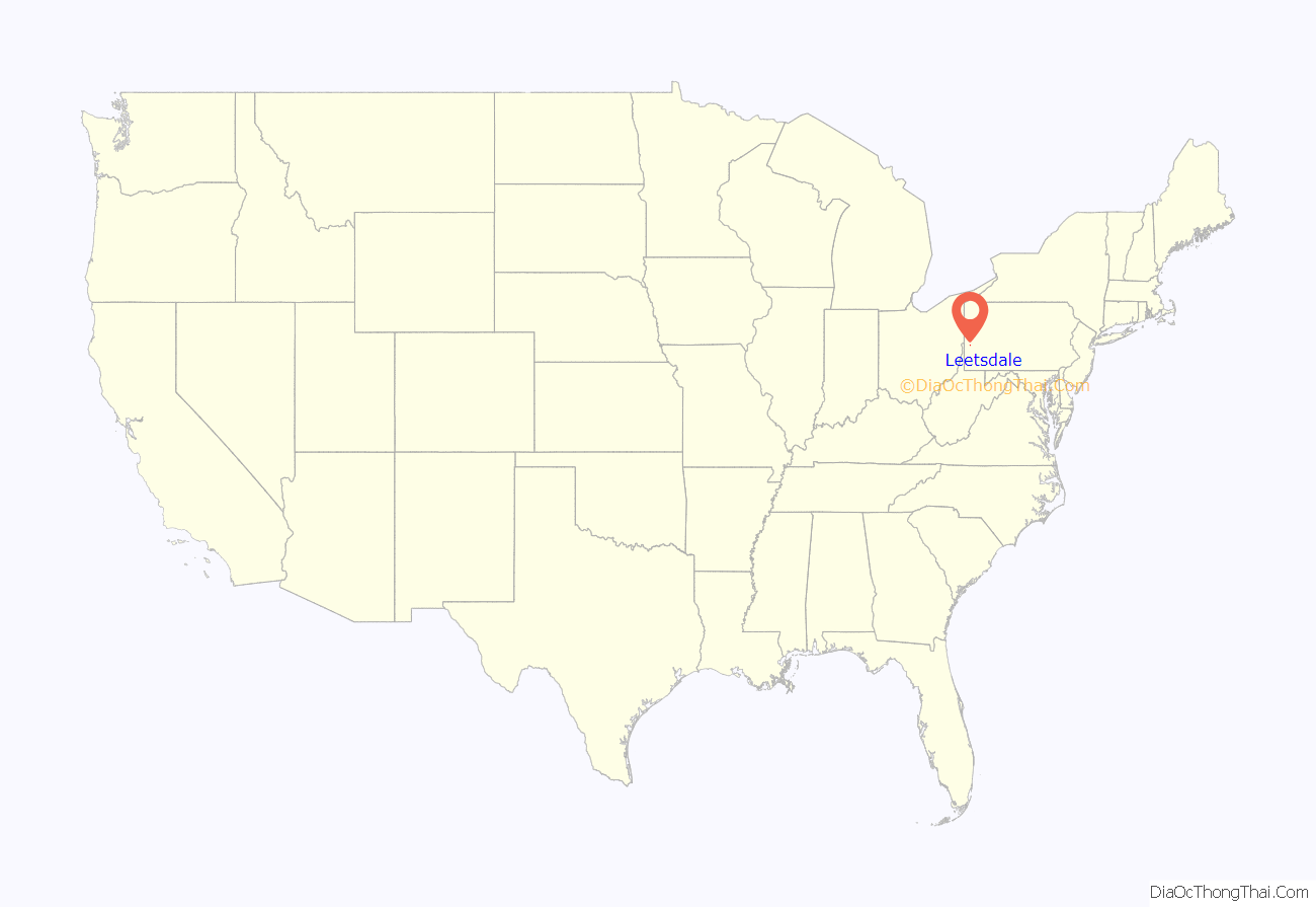
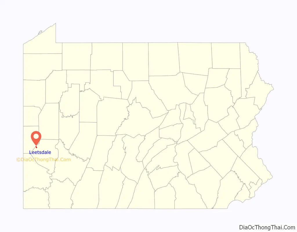
Leetsdale location map. Where is Leetsdale borough?
History
Leetsdale was incorporated on March 28, 1904. Leetsdale at one time had a formidable industrial manufacturing base, with a Bethlehem Steel mill that closed in the late 1970s. The site of the mill on the shore of the Ohio River is now the Leetsdale Industrial Park, or the Port of Leetsdale, and is home to facilities leased, by The Buncher Company, to a number of companies of varying sizes. The Leetsdale Industrial Park was largely a brownfield until the 1990s. Today, only a few of the original buildings still stand. In 2022, CGI Steel and Nextracker renovated an abandoned steel factory to produce solar tracker equipments
Leetsdale is also home to Elmridge, or the James Gardiner Coffin/John Walker house, which is listed on the National Register of Historic Places.
Leetsdale Road Map
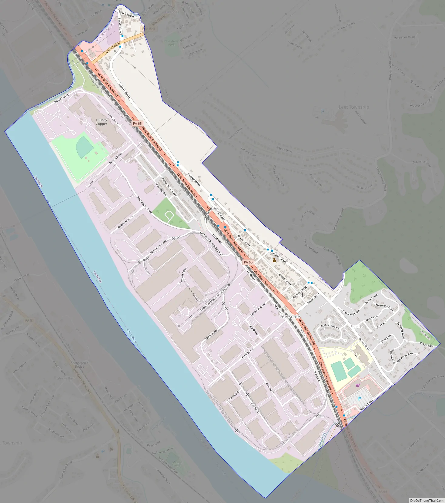
Leetsdale city Satellite Map

Geography
Leetsdale is located at 40°34′0″N 80°12′41″W / 40.56667°N 80.21139°W / 40.56667; -80.21139 (40.566667, -80.211274).
According to the United States Census Bureau, the borough has a total area of 1.1 square miles (2.8 km), of which 1.0 square mile (2.6 km) is land and 0.2 square miles (0.52 km), or 13.91%, is water.
See also
Map of Pennsylvania State and its subdivision:- Adams
- Allegheny
- Armstrong
- Beaver
- Bedford
- Berks
- Blair
- Bradford
- Bucks
- Butler
- Cambria
- Cameron
- Carbon
- Centre
- Chester
- Clarion
- Clearfield
- Clinton
- Columbia
- Crawford
- Cumberland
- Dauphin
- Delaware
- Elk
- Erie
- Fayette
- Forest
- Franklin
- Fulton
- Greene
- Huntingdon
- Indiana
- Jefferson
- Juniata
- Lackawanna
- Lancaster
- Lawrence
- Lebanon
- Lehigh
- Luzerne
- Lycoming
- Mc Kean
- Mercer
- Mifflin
- Monroe
- Montgomery
- Montour
- Northampton
- Northumberland
- Perry
- Philadelphia
- Pike
- Potter
- Schuylkill
- Snyder
- Somerset
- Sullivan
- Susquehanna
- Tioga
- Union
- Venango
- Warren
- Washington
- Wayne
- Westmoreland
- Wyoming
- York
- Alabama
- Alaska
- Arizona
- Arkansas
- California
- Colorado
- Connecticut
- Delaware
- District of Columbia
- Florida
- Georgia
- Hawaii
- Idaho
- Illinois
- Indiana
- Iowa
- Kansas
- Kentucky
- Louisiana
- Maine
- Maryland
- Massachusetts
- Michigan
- Minnesota
- Mississippi
- Missouri
- Montana
- Nebraska
- Nevada
- New Hampshire
- New Jersey
- New Mexico
- New York
- North Carolina
- North Dakota
- Ohio
- Oklahoma
- Oregon
- Pennsylvania
- Rhode Island
- South Carolina
- South Dakota
- Tennessee
- Texas
- Utah
- Vermont
- Virginia
- Washington
- West Virginia
- Wisconsin
- Wyoming


