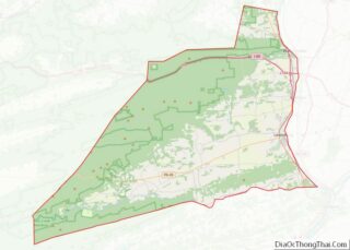
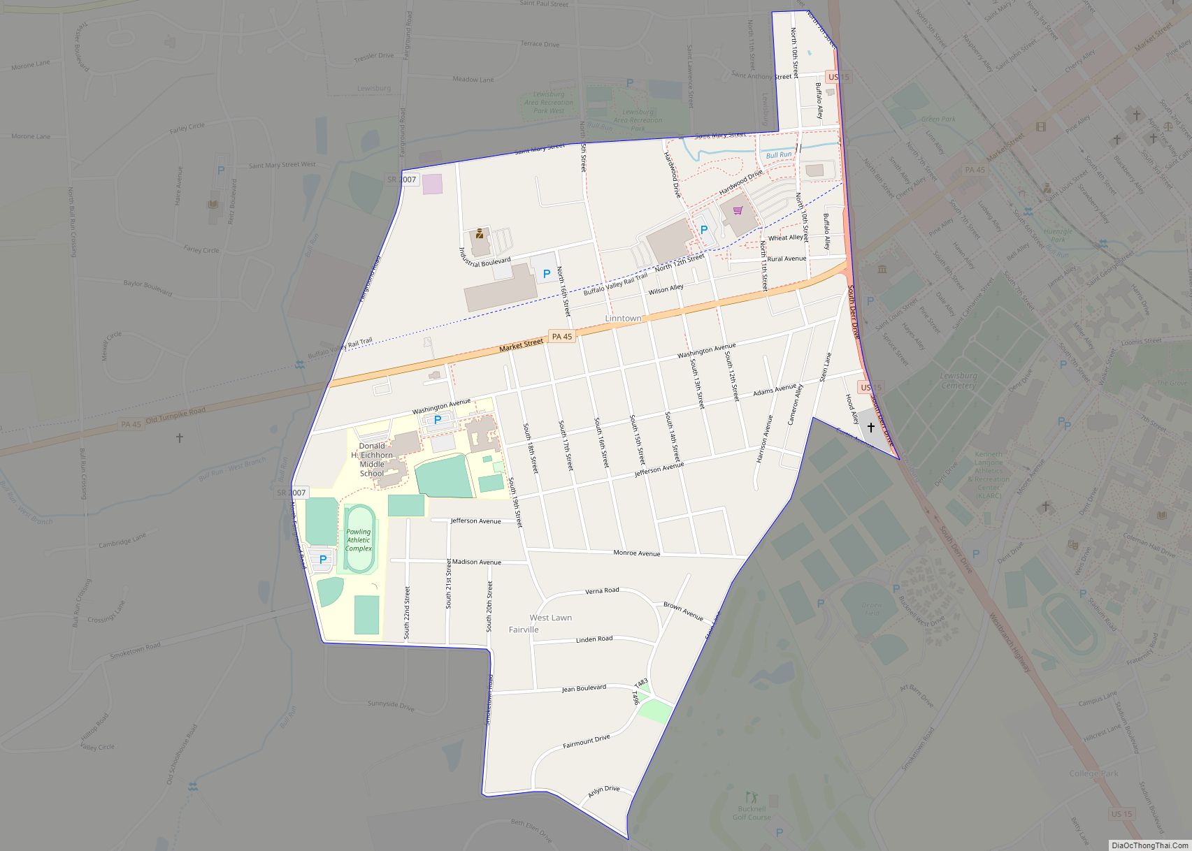
Linntown is a census-designated place (CDP) in East Buffalo Township, Union County, Pennsylvania, United States. The population was 1,489 at the 2010 census.
| Name: | Linntown CDP |
|---|---|
| LSAD Code: | 57 |
| LSAD Description: | CDP (suffix) |
| State: | Pennsylvania |
| County: | Union County |
| Total Area: | 0.73 sq mi (1.89 km²) |
| Land Area: | 0.73 sq mi (1.89 km²) |
| Water Area: | 0.00 sq mi (0.00 km²) |
| Total Population: | 1,695 |
| Population Density: | 2,328.30/sq mi (898.82/km²) |
| FIPS code: | 4243704 |
Online Interactive Map
Click on ![]() to view map in "full screen" mode.
to view map in "full screen" mode.
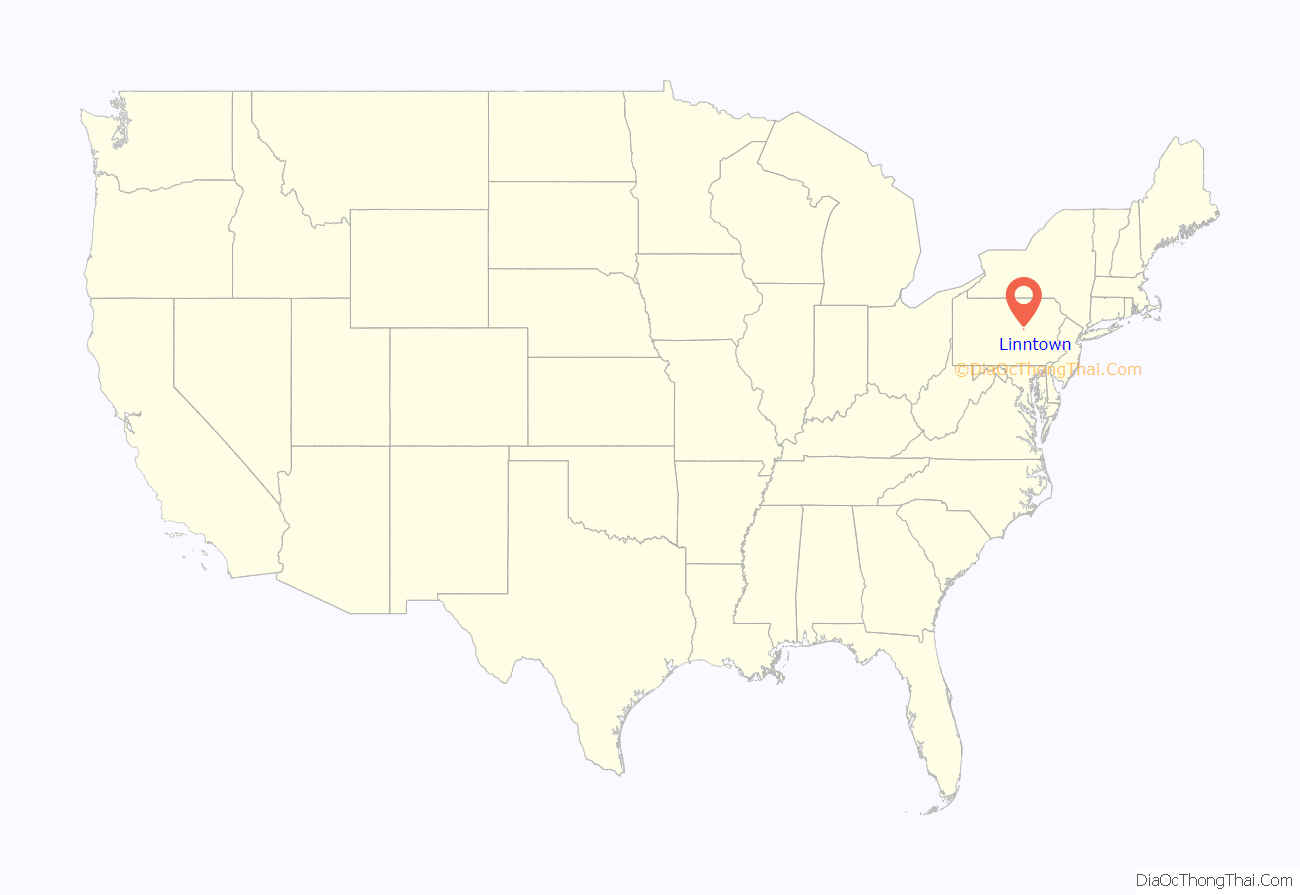
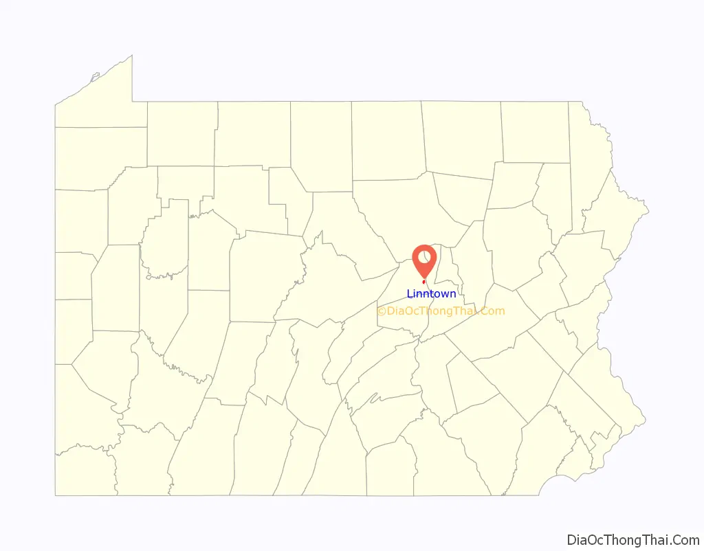
Linntown location map. Where is Linntown CDP?
History
The village of Linnville or Linntown came to be in the second half of the nineteenth century. Named for the Linn family who owned several farms on the south side of the Lewisburg-Mifflinburg turnpike (present-day Route 45), it originally consisted of just a few houses on the north side of the turnpike. Arrival of the railroad stimulated commercial ventures such as the Kulp Lumber Mill and the Lewisburg Chair Factory (1887, forerunner of Pennsylvania House). Linntown saw large population growth when the Linn farms were developed into residential building lots in the 1920s.
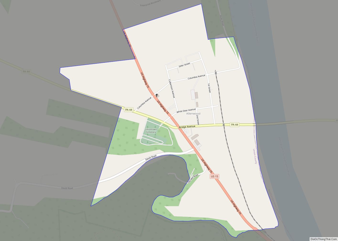
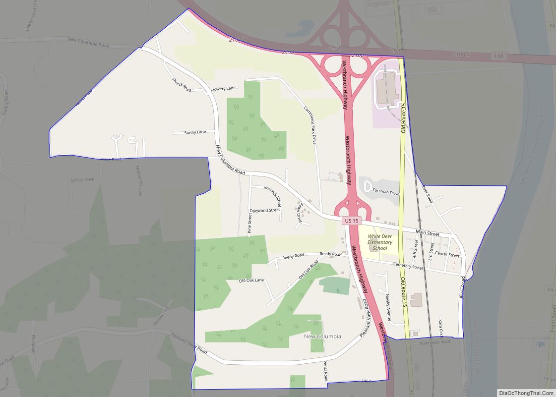
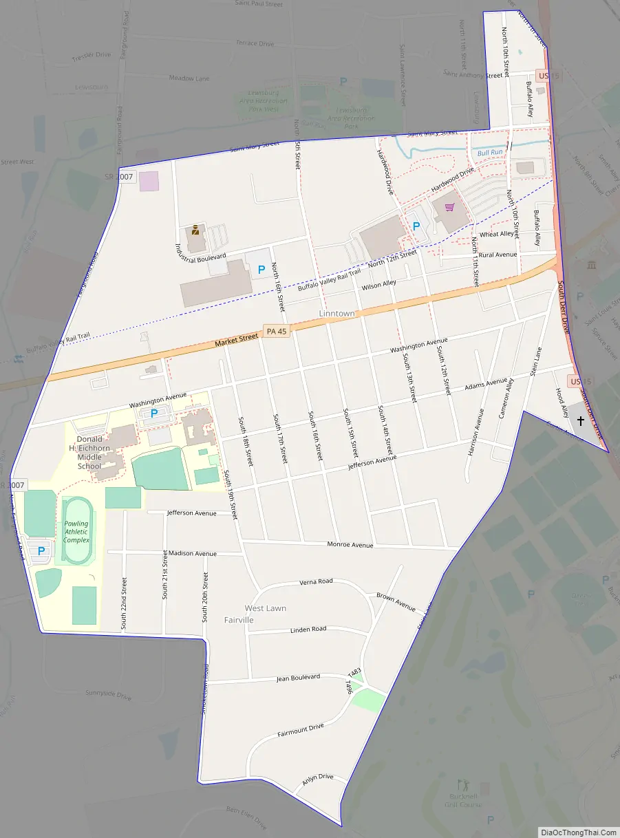
Linntown Road Map
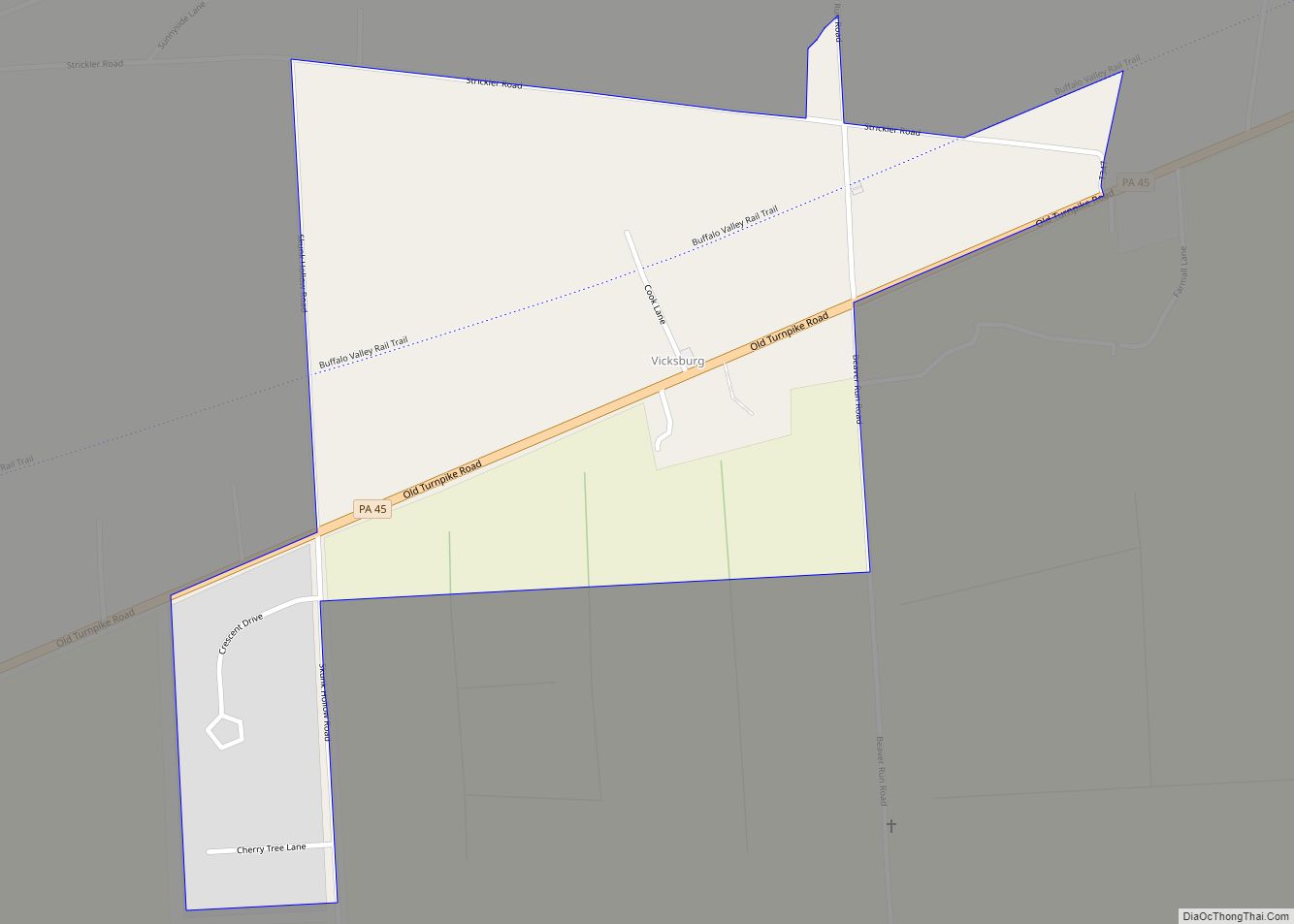
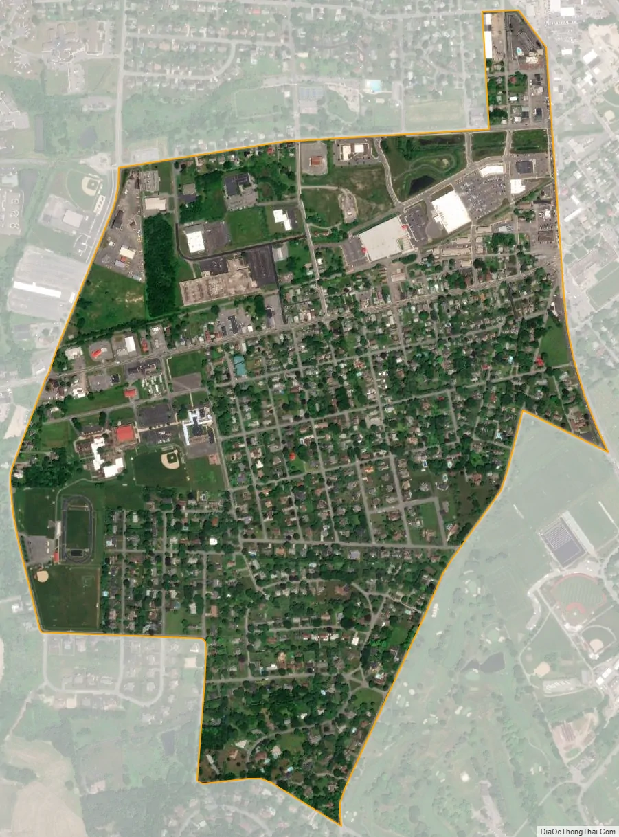
Linntown city Satellite Map
Geography
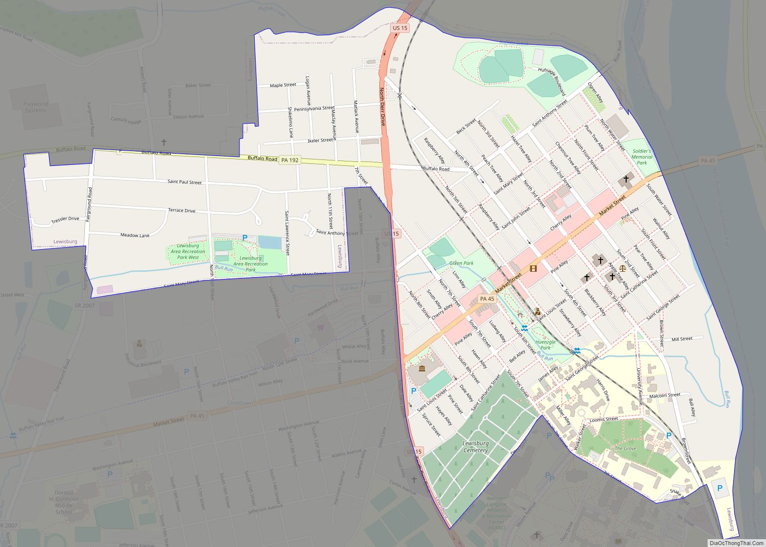
Linntown is located at 40°57′26″N 76°53′54″W / 40.95722°N 76.89833°W / 40.95722; -76.89833 (40.957278, -76.898391), one mile southwest of Lewisburg.
According to the United States Census Bureau, the CDP has a total area of 0.7 square miles (1.8 km), all land.
See also
Map of Pennsylvania State and its subdivision:- Adams
- Allegheny
- Armstrong
- Beaver
- Bedford
- Berks
- Blair
- Bradford
- Bucks
- Butler
- Cambria
- Cameron
- Carbon
- Centre
- Chester
- Clarion
- Clearfield
- Clinton
- Columbia
- Crawford
- Cumberland
- Dauphin
- Delaware
- Elk
- Erie
- Fayette
- Forest
- Franklin
- Fulton
- Greene
- Huntingdon
- Indiana
- Jefferson
- Juniata
- Lackawanna
- Lancaster
- Lawrence
- Lebanon
- Lehigh
- Luzerne
- Lycoming
- Mc Kean
- Mercer
- Mifflin
- Monroe
- Montgomery
- Montour
- Northampton
- Northumberland
- Perry
- Philadelphia
- Pike
- Potter
- Schuylkill
- Snyder
- Somerset
- Sullivan
- Susquehanna
- Tioga
- Union
- Venango
- Warren
- Washington
- Wayne
- Westmoreland
- Wyoming
- York
- Alabama
- Alaska
- Arizona
- Arkansas
- California
- Colorado
- Connecticut
- Delaware
- District of Columbia
- Florida
- Georgia
- Hawaii
- Idaho
- Illinois
- Indiana
- Iowa
- Kansas
- Kentucky
- Louisiana
- Maine
- Maryland
- Massachusetts
- Michigan
- Minnesota
- Mississippi
- Missouri
- Montana
- Nebraska
- Nevada
- New Hampshire
- New Jersey
- New Mexico
- New York
- North Carolina
- North Dakota
- Ohio
- Oklahoma
- Oregon
- Pennsylvania
- Rhode Island
- South Carolina
- South Dakota
- Tennessee
- Texas
- Utah
- Vermont
- Virginia
- Washington
- West Virginia
- Wisconsin
- Wyoming