Loganton, officially the Borough of Loganton, is a borough in Clinton County, Pennsylvania, United States. The population was 469 at the 2020 census.
| Name: | Loganton borough |
|---|---|
| LSAD Code: | 21 |
| LSAD Description: | borough (suffix) |
| State: | Pennsylvania |
| County: | Clinton County |
| Elevation: | 1,297 ft (395 m) |
| Total Area: | 1.06 sq mi (2.73 km²) |
| Land Area: | 1.05 sq mi (2.73 km²) |
| Water Area: | 0.00 sq mi (0.01 km²) |
| Total Population: | 469 |
| Population Density: | 445.39/sq mi (172.03/km²) |
| ZIP code: | 17747 |
| Area code: | 570 |
| FIPS code: | 4244400 |
| Website: | https://www.logantonborough.org/ |
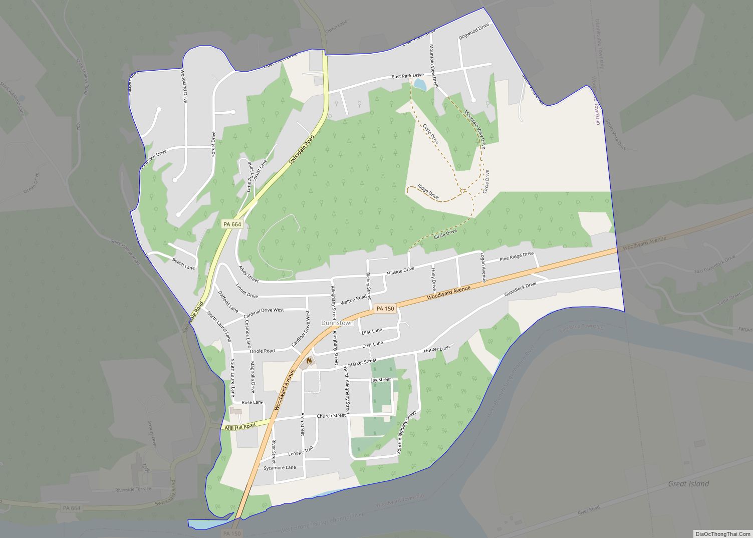
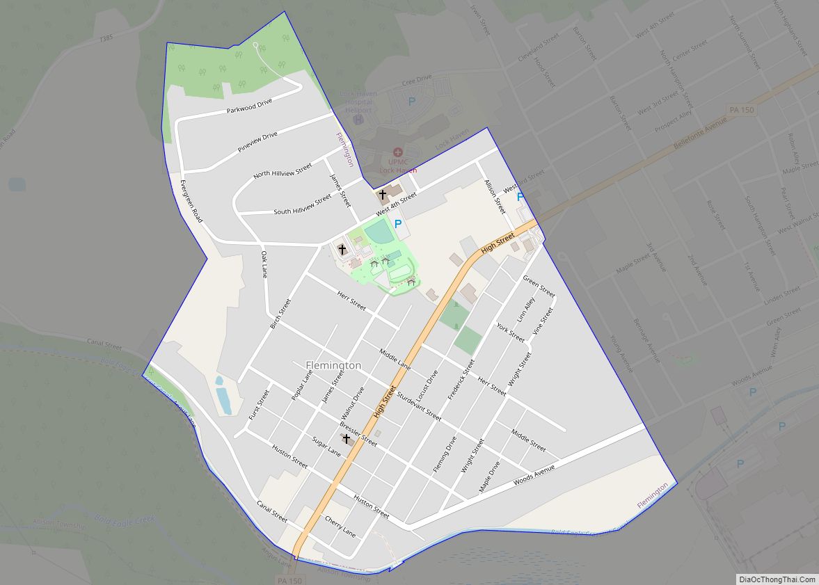
Online Interactive Map
Click on ![]() to view map in "full screen" mode.
to view map in "full screen" mode.
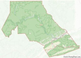
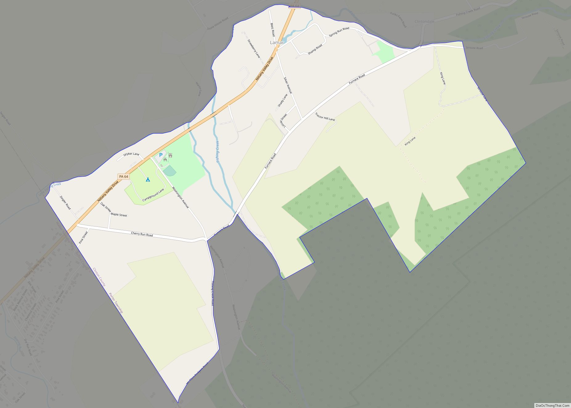
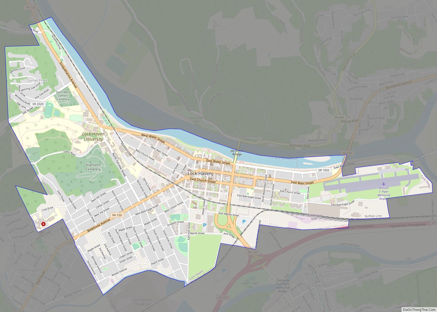
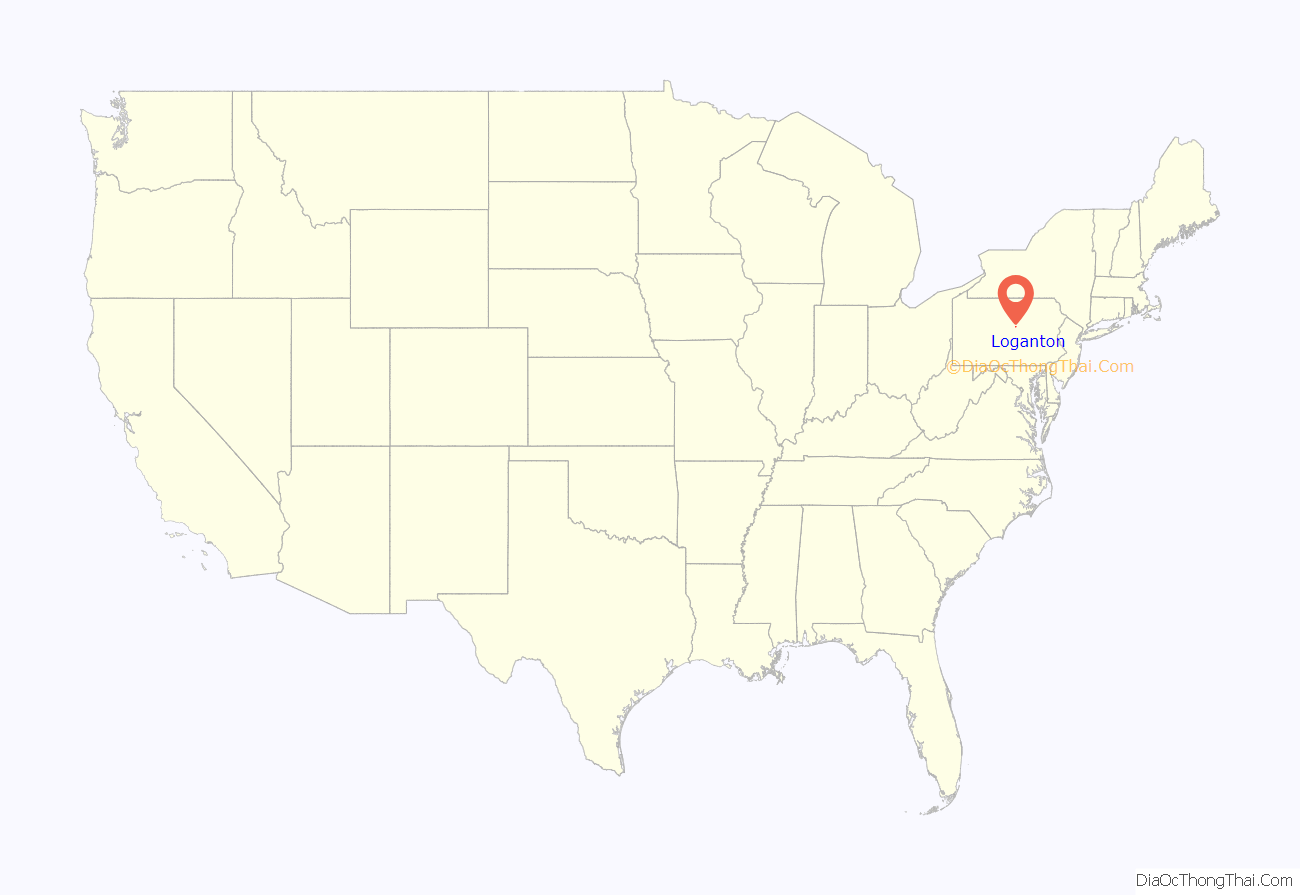
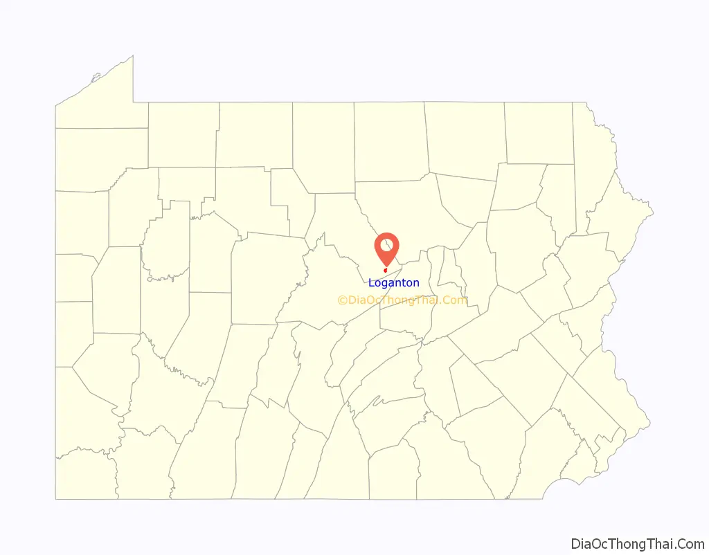
Loganton location map. Where is Loganton borough?
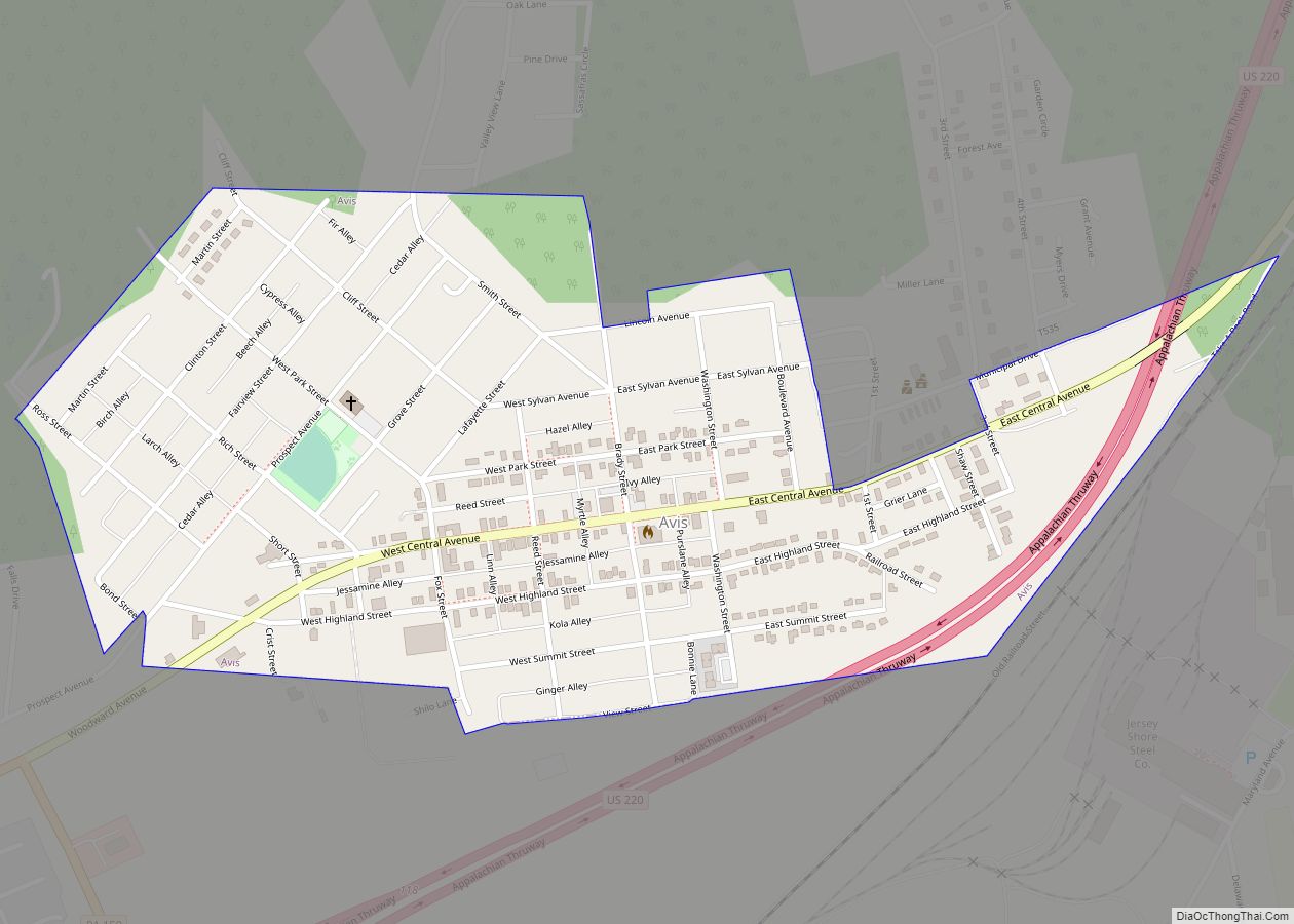
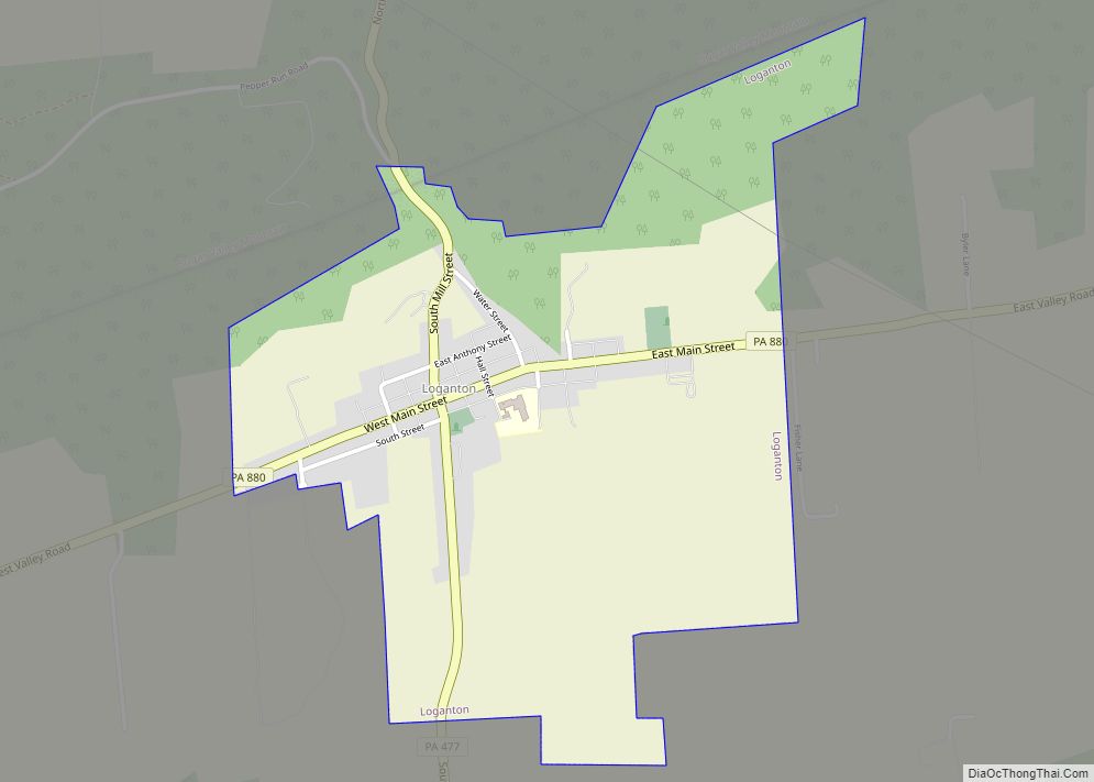
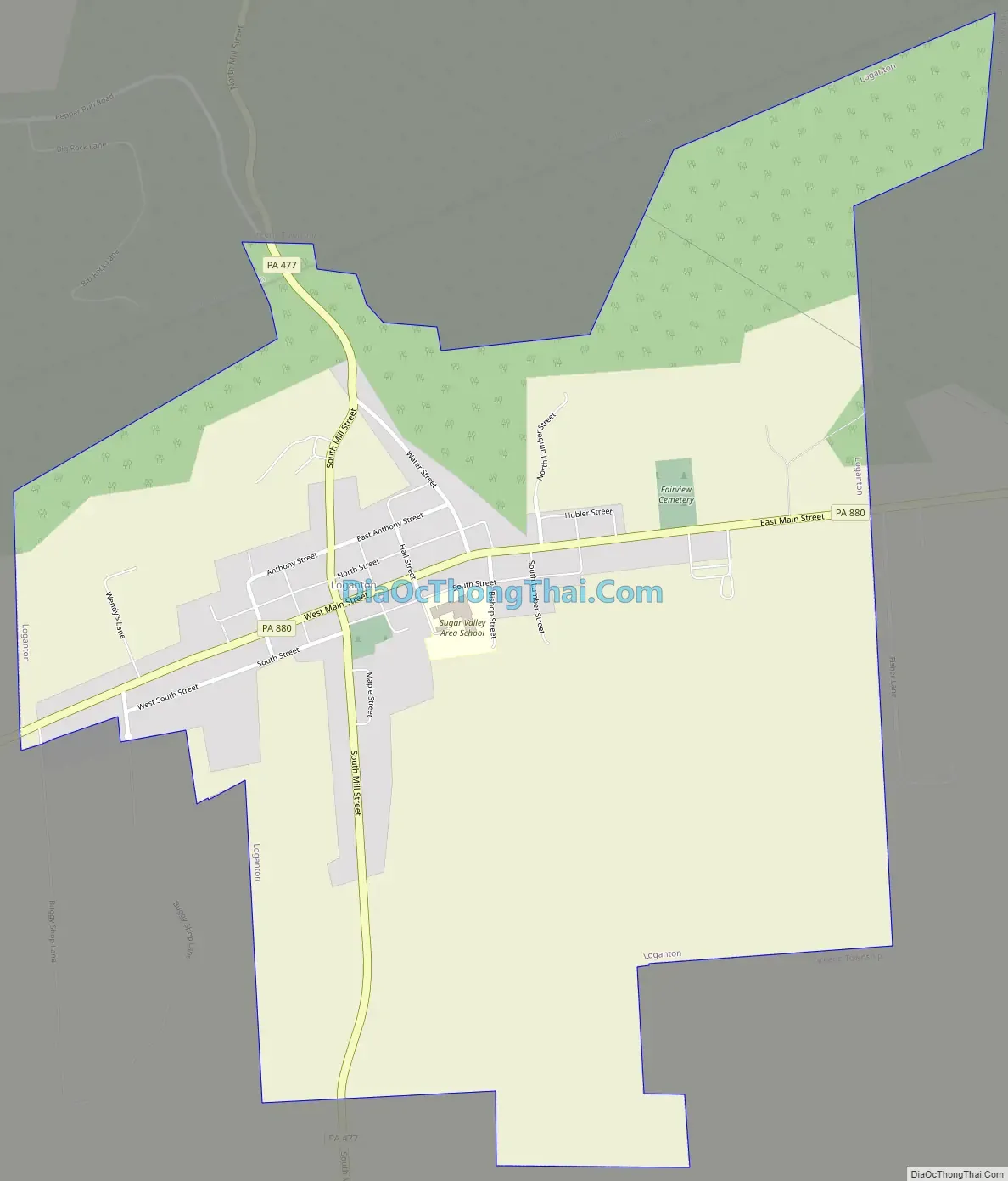
Loganton Road Map
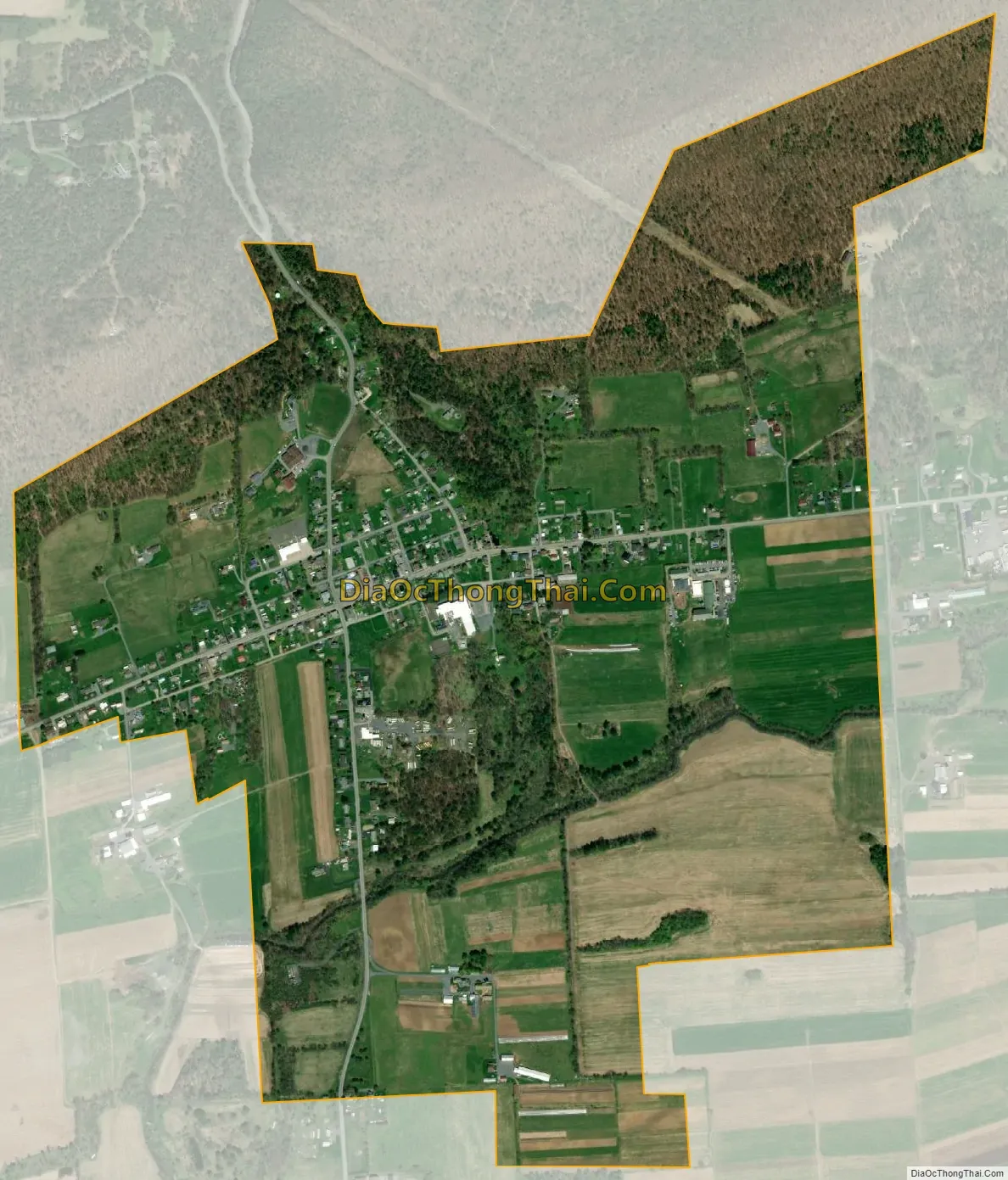
Loganton city Satellite Map
Geography
Loganton is located in southern Clinton County in the Sugar Valley, part of the Ridge-and-Valley Appalachians, and is situated at the northern base of Sugar Valley Mountain. Pennsylvania Route 477 passes through the center of Loganton and leads north through a water gap in Sugar Valley Mountain 1.0 mile (1.6 km) to Exit 185 on Interstate 80. PA 477 leads south 6 miles (10 km) across Nittany Mountain to Livonia in the Brush Valley. Pennsylvania Route 880 crosses PA 477 in the center of Loganton and runs the length of Sugar Valley, leading east 6 miles (10 km) to Exit 192 on Interstate 80 and southwest 7 miles (11 km) to Tylersville.
According to the United States Census Bureau, Loganton has a total area of 1.0 square mile (2.7 km), all land.
See also
Map of Pennsylvania State and its subdivision:- Adams
- Allegheny
- Armstrong
- Beaver
- Bedford
- Berks
- Blair
- Bradford
- Bucks
- Butler
- Cambria
- Cameron
- Carbon
- Centre
- Chester
- Clarion
- Clearfield
- Clinton
- Columbia
- Crawford
- Cumberland
- Dauphin
- Delaware
- Elk
- Erie
- Fayette
- Forest
- Franklin
- Fulton
- Greene
- Huntingdon
- Indiana
- Jefferson
- Juniata
- Lackawanna
- Lancaster
- Lawrence
- Lebanon
- Lehigh
- Luzerne
- Lycoming
- Mc Kean
- Mercer
- Mifflin
- Monroe
- Montgomery
- Montour
- Northampton
- Northumberland
- Perry
- Philadelphia
- Pike
- Potter
- Schuylkill
- Snyder
- Somerset
- Sullivan
- Susquehanna
- Tioga
- Union
- Venango
- Warren
- Washington
- Wayne
- Westmoreland
- Wyoming
- York
- Alabama
- Alaska
- Arizona
- Arkansas
- California
- Colorado
- Connecticut
- Delaware
- District of Columbia
- Florida
- Georgia
- Hawaii
- Idaho
- Illinois
- Indiana
- Iowa
- Kansas
- Kentucky
- Louisiana
- Maine
- Maryland
- Massachusetts
- Michigan
- Minnesota
- Mississippi
- Missouri
- Montana
- Nebraska
- Nevada
- New Hampshire
- New Jersey
- New Mexico
- New York
- North Carolina
- North Dakota
- Ohio
- Oklahoma
- Oregon
- Pennsylvania
- Rhode Island
- South Carolina
- South Dakota
- Tennessee
- Texas
- Utah
- Vermont
- Virginia
- Washington
- West Virginia
- Wisconsin
- Wyoming